Barrow upon Trent
Civil Parish in Derbyshire South Derbyshire
England
Barrow upon Trent
Barrow upon Trent is a civil parish located in the county of Derbyshire, England. Situated on the banks of the River Trent, it lies approximately 8 miles southwest of the city of Derby. The parish encompasses a total area of around 6 square miles and has a population of approximately 500 residents.
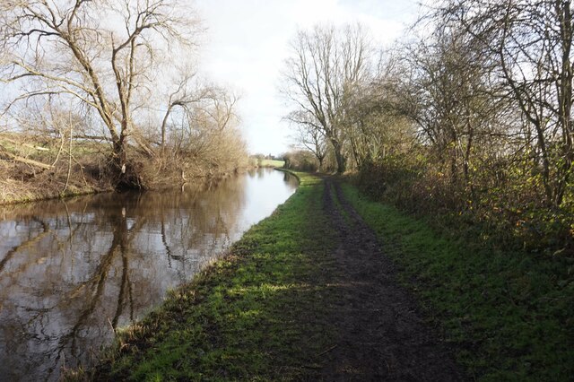
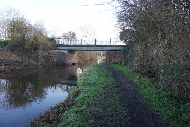
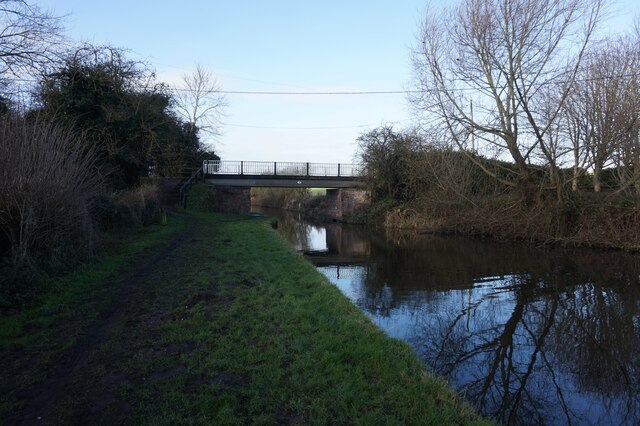
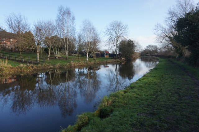
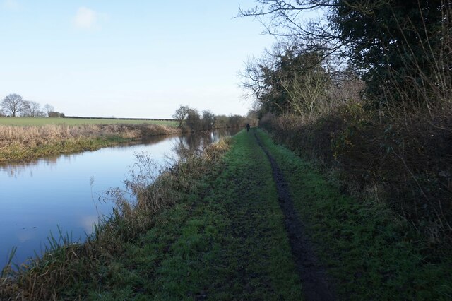
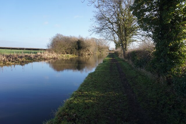
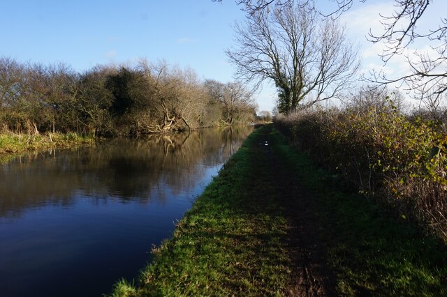
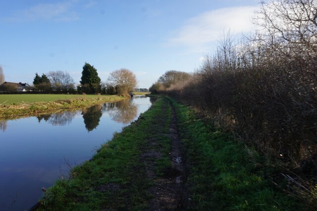
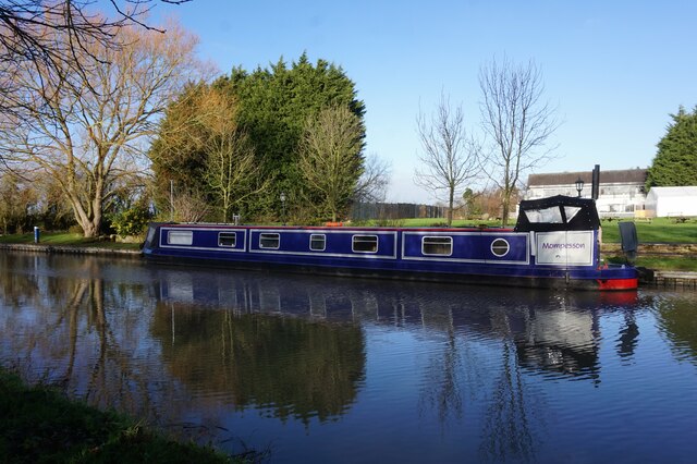
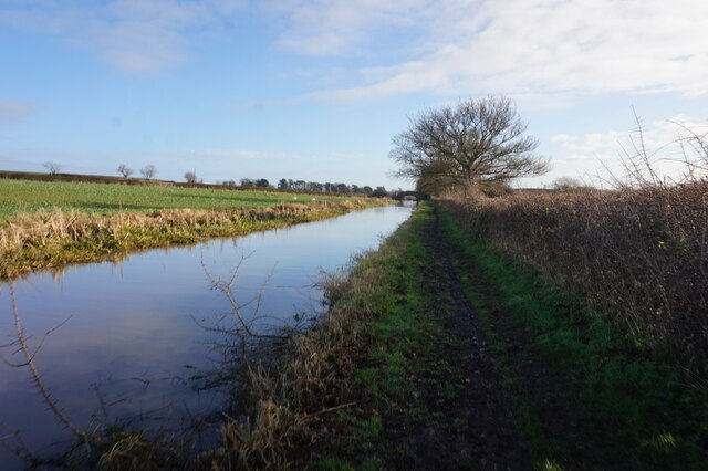
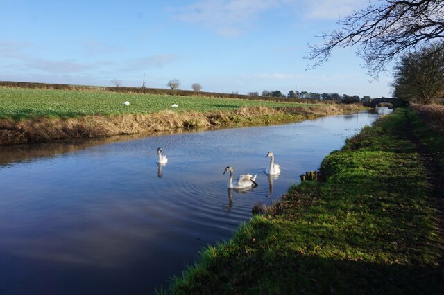
The village of Barrow upon Trent is known for its picturesque countryside and charming rural setting. It is surrounded by open fields and farmland, providing a tranquil and peaceful atmosphere. The River Trent flows through the parish, offering scenic views and recreational opportunities for residents and visitors alike.
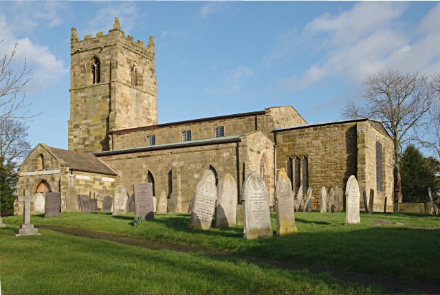
The village itself features a mix of traditional stone-built cottages, modern houses, and a few historic buildings. The local parish church, St. Wilfrid's, is a notable landmark, dating back to the 12th century. The church is known for its beautiful stained glass windows and architectural details.
While Barrow upon Trent is primarily a residential area, it does have some amenities for its residents. These include a village hall, a primary school, and a local pub. The village hall serves as a community center, hosting various events and activities throughout the year.
Barrow upon Trent is well connected to nearby towns and cities via road links, with the A50 running close by. This allows for easy access to Derby, Burton upon Trent, and the wider East Midlands region.
Overall, Barrow upon Trent offers a peaceful and idyllic setting for those seeking a rural lifestyle, while still being within a reasonable distance of larger urban areas.
If you have any feedback on the listing, please let us know in the comments section below.
Barrow upon Trent Images
Images are sourced within 2km of 52.857991/-1.480992 or Grid Reference SK3529. Thanks to Geograph Open Source API. All images are credited.


Barrow upon Trent is located at Grid Ref: SK3529 (Lat: 52.857991, Lng: -1.480992)
Administrative County: Derbyshire
District: South Derbyshire
Police Authority: Derbyshire
What 3 Words
///roosters.decisions.recorder. Near Sinfin, Derbyshire
Nearby Locations
Related Wikis
Barrow upon Trent
Barrow upon Trent is a village and civil parish in the South Derbyshire district of Derbyshire, England with a business park planned for the outskirts...
St Wilfrid's Church, Barrow-upon-Trent
St Wilfrid’s Church, Barrow upon Trent is a Grade I listed parish church in the Church of England in Barrow upon Trent, Derbyshire. == History == The Church...

Arleston
Arleston is a hamlet in the South Derbyshire district of Derbyshire, England, about 4 miles (6.4 km) south of the centre of Derby. It is located 1.2 miles...

Barrow Camera
Barrow Camera was a Knights Hospitaller foundation in the parish of Barrow upon Trent, Derbyshire, England.A Camera is: "A residence used during short...
Nearby Amenities
Located within 500m of 52.857991,-1.480992Have you been to Barrow upon Trent?
Leave your review of Barrow upon Trent below (or comments, questions and feedback).