Barrow

Civil Parish in Suffolk St Edmundsbury

England

Barrow

Wheat field near Barrow
Wheat field near Barrow Credit: Jonathan Thacker

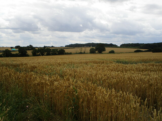
Barrow is a civil parish located in the county of Suffolk, England. Situated approximately six miles northwest of Bury St Edmunds, the parish covers an area of around 1,500 acres. It is a predominantly rural area, with picturesque countryside landscapes and a population of around 1,500 residents.

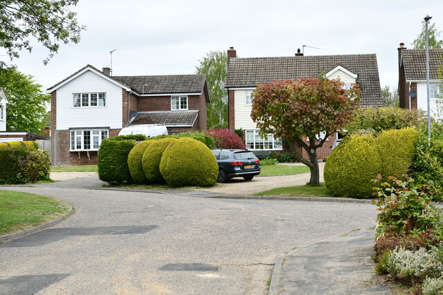
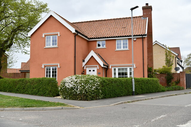
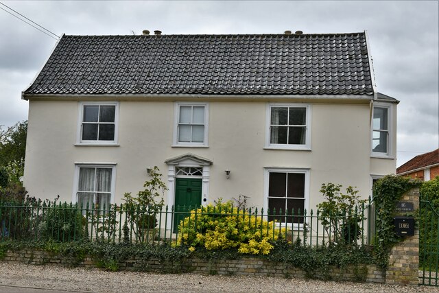
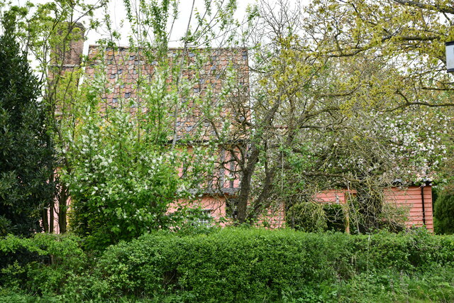
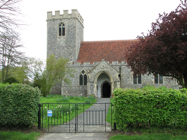
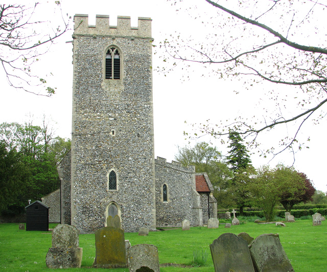
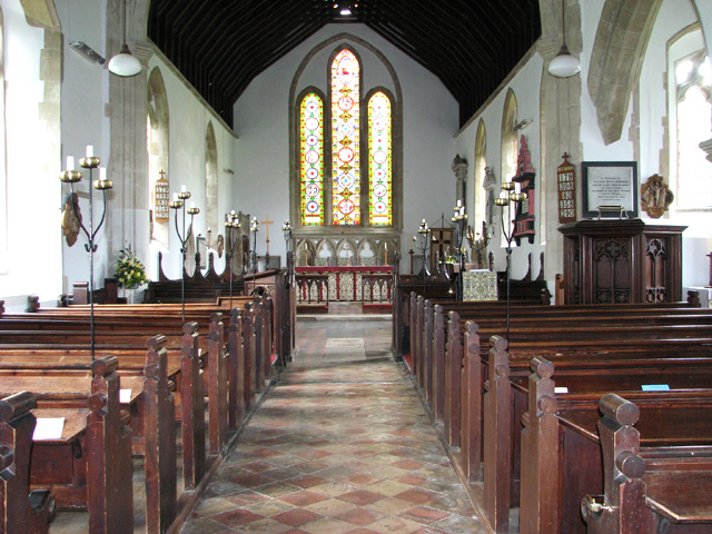
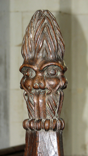
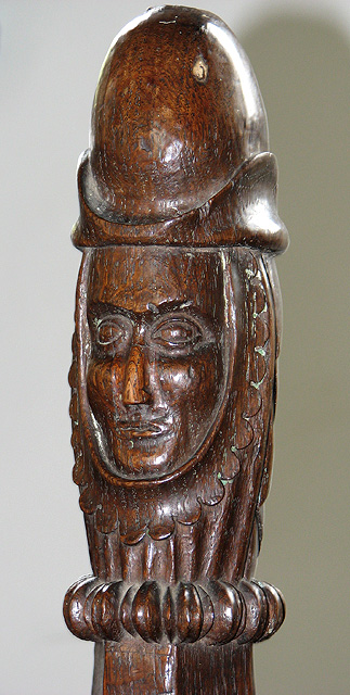
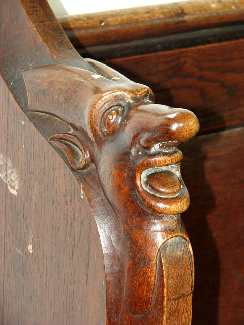
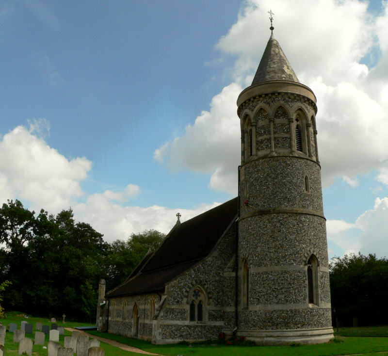
The village of Barrow is known for its charming and traditional English character, with many well-preserved historic buildings. The St. Mary's Church, a Grade I listed building dating back to the 14th century, stands as a prominent landmark in the village. The church features intricate architecture and stunning stained glass windows, attracting visitors interested in history and architecture.

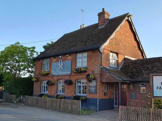
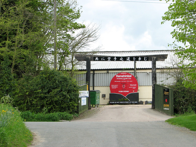
The village also boasts a range of amenities, including a primary school, a village hall, a local pub, and a post office. These facilities provide essential services to the local community and contribute to the village's strong sense of community spirit.

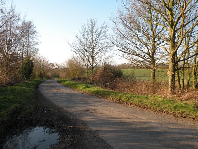
Barrow is surrounded by beautiful countryside, offering residents and visitors opportunities for outdoor activities such as walking, cycling, and exploring the nearby nature reserves. The River Lark flows through the parish, providing a picturesque backdrop for leisurely strolls and fishing.

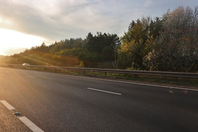
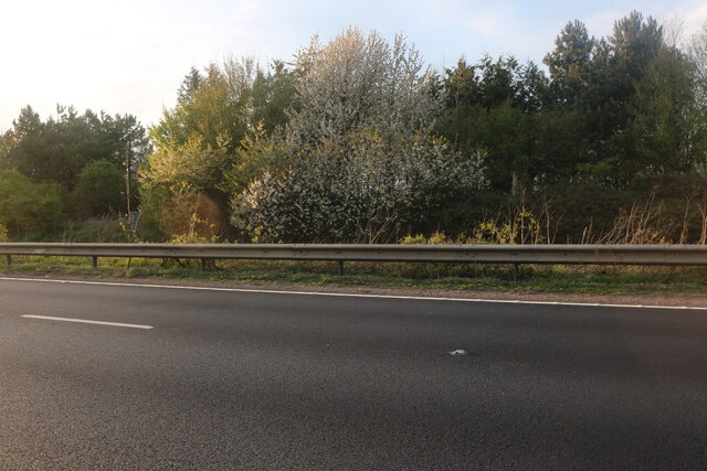
Despite its rural setting, Barrow enjoys good transport links. The A14 road, one of the major routes connecting the east and west of England, runs to the north of the parish, allowing for easy access to nearby towns and cities.

Overall, Barrow, Suffolk, is a charming and idyllic civil parish that offers a peaceful and close-knit community, a range of amenities, and beautiful natural surroundings.

If you have any feedback on the listing, please let us know in the comments section below.

Barrow Images

Images are sourced within 2km of 52.248748/0.588871 or Grid Reference TL7664. Thanks to Geograph Open Source API. All images are credited.

Wheat field near Barrow
Burthorpe: Two detached houses in Papeley Meadow
Barrow: 46 The Green
Barrow: 16 The Green
Barrow: Denham End Farm
Barrow: Crop
Barrow: Crop
Newmarket Road, Risby
The Three Horseshoes, Barrow
Part of Brockley Lane
Minor Road near Denham End
The entrance to Church Farm It no longer appears to be a farm.
The entrance to Church Farm
It no longer appears to be a farm.
The church of All Saints in Barrow For more information go to: <a title="https://www.geograph.org.uk/photo/1916055" href="https://www.geograph.org.uk/photo/1916055">Link</a>.
The church of All Saints in Barrow
For more information go to: Link.
The church of All Saints in Barrow For more information go to: <a title="https://www.geograph.org.uk/photo/1916055" href="https://www.geograph.org.uk/photo/1916055">Link</a>.
The church of All Saints in Barrow
For more information go to: Link.
The church of All Saints in Barrow View east. For an exterior view see > <a title="https://www.geograph.org.uk/photo/2930644" href="https://www.geograph.org.uk/photo/2930644">Link</a>. For more information go to: <a title="https://www.geograph.org.uk/photo/1916055" href="https://www.geograph.org.uk/photo/1916055">Link</a>.
The church of All Saints in Barrow
View east. For an exterior view see > Link. For more information go to: Link.
The church of All Saints in Barrow Medieval carved poppyhead. For an exterior view see > <a title="https://www.geograph.org.uk/photo/2930644" href="https://www.geograph.org.uk/photo/2930644">Link</a>. For more information go to: <a title="https://www.geograph.org.uk/photo/1916055" href="https://www.geograph.org.uk/photo/1916055">Link</a>.
The church of All Saints in Barrow
Medieval carved poppyhead. For an exterior view see > Link. For more information go to: Link.
The church of All Saints in Barrow Medieval carved bench elbow. For an exterior view see > <a title="https://www.geograph.org.uk/photo/2930644" href="https://www.geograph.org.uk/photo/2930644">Link</a>. For more information go to: <a title="https://www.geograph.org.uk/photo/1916055" href="https://www.geograph.org.uk/photo/1916055">Link</a>.
The church of All Saints in Barrow
Medieval carved bench elbow. For an exterior view see > Link. For more information go to: Link.
Show me another place!

Barrow is located at Grid Ref: TL7664 (Lat: 52.248748, Lng: 0.588871)

Administrative County: Suffolk

District: St Edmundsbury

Police Authority: Suffolk

What 3 Words

///pixies.frown.reform. Near Bury St Edmunds, Suffolk

Nearby Locations

Barrow

Related Wikis

Barrow, Suffolk

Barrow is a village and civil parish in the West Suffolk district of Suffolk, England, about eight miles west of Bury St Edmunds. According to Eilert Ekwall...

Higham, West Suffolk

Higham is a village and civil parish in the West Suffolk district of Suffolk in the east of England. Located midway between Bury St Edmunds and Newmarket...

Great Saxham

Great Saxham is a village and former civil parish, now in the parish of The Saxhams, in the West Suffolk district, in the county of Suffolk, England. The...

Saxham Hall

Great Saxham Hall is a two-storey Palladian house situated at Great Saxham, just outside Bury St Edmunds in Suffolk, England. It is a Grade II* listed...

Nearby Amenities

Located within 500m of 52.248748,0.588871
Burthorpe
Created By: Potlatch 0.9c
Is In: Suffolk
Place: village
Lat/Long: 52.2465935/0.5931226
Post Box
Brand: Royal Mail
Brand Wikidata: Q638098
Collection Times: Mo-Fr 16:00; Sa 11:00
Drive Through: no
Operator: Royal Mail
Operator Wikidata: Q638098
Post Box Type: lamp
Ref: IP29 2078
Royal Cypher: EIIR
Royal Cypher Wikidata: Q33102113
Lat/Long: 52.2458674/0.5942225
Power: pole
Lat/Long: 52.2468926/0.5940772
Power: pole
Lat/Long: 52.2451879/0.5903194
Power: pole
Lat/Long: 52.2457447/0.5924651
Power: pole
Lat/Long: 52.2460222/0.593538
Power: pole
Lat/Long: 52.2454835/0.591454
Power: pole
Lat/Long: 52.2471274/0.5939672
Power: pole
Lat/Long: 52.2469369/0.5936882
Power: pole
Lat/Long: 52.2446427/0.5882299
Power: pole
Lat/Long: 52.2470322/0.5942622
Power: pole
Lat/Long: 52.2473138/0.5953981
Power: pole
Lat/Long: 52.2471028/0.5954102
The data included in this document is from www.openstreetmap.org. The data is made available under ODbL.

Have you been to Barrow?

Leave your review of Barrow below (or comments, questions and feedback).