Barrow

Civil Parish in Shropshire

England

Barrow

A diverted footpath The marked path to the east of this point has been extinguished due to an expansion of the clay workings/gravel pit further east, and the path now comes down this field into the valley of the Dean Brook.
A diverted footpath Credit: Richard Law

Barrow is a civil parish located in the county of Shropshire, England. Situated in the West Midlands region, it is nestled in the picturesque countryside and covers an area of approximately 4 square kilometers. The parish is situated approximately 7.5 kilometers north of the market town of Shrewsbury.

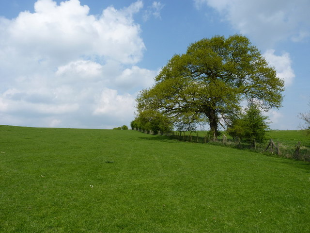
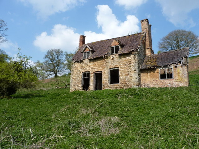
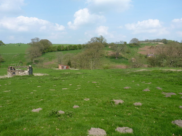
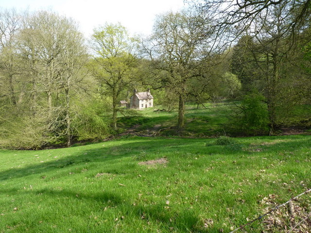
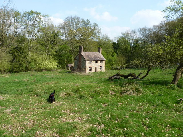
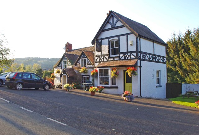
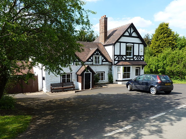
Barrow is a small and tranquil village, with a population of around 500 residents. It is known for its charming rural character, with beautiful landscapes and rolling hills surrounding the area. The village itself is characterized by its traditional stone-built houses and cottages, which add to its quaint and idyllic atmosphere.

The heart of the village is the parish church of St. Giles, a Grade II listed building dating back to the 12th century. This historic church serves as a focal point for the community and is a popular destination for visitors interested in the area's rich history.

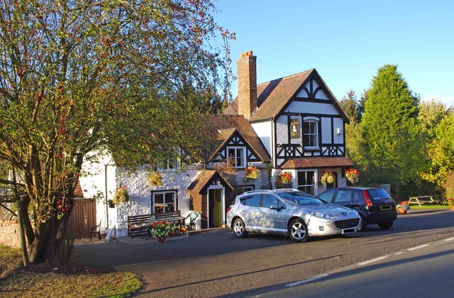
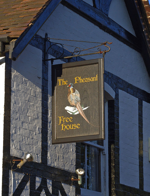
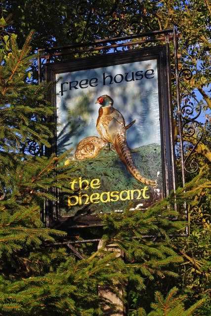
Although Barrow is predominantly residential, it also boasts a few amenities to cater to the needs of its residents. These include a primary school, a village hall, and a local pub, providing a sense of community spirit and a place for social interaction.

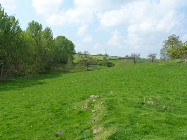
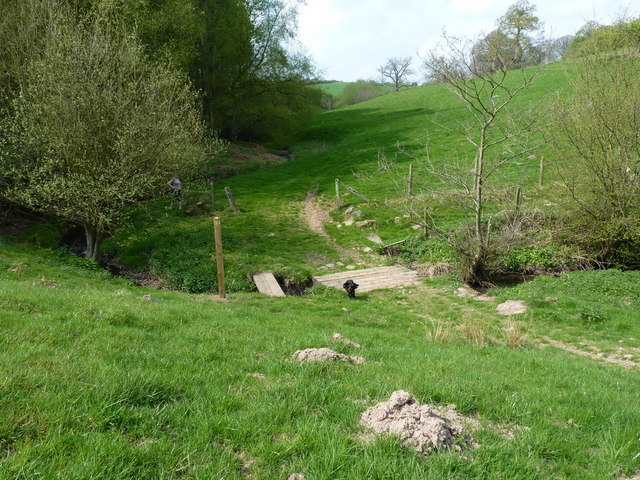
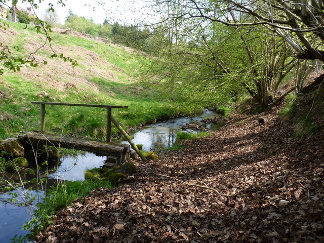
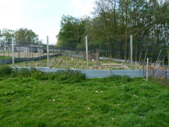
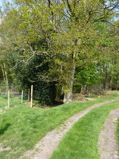
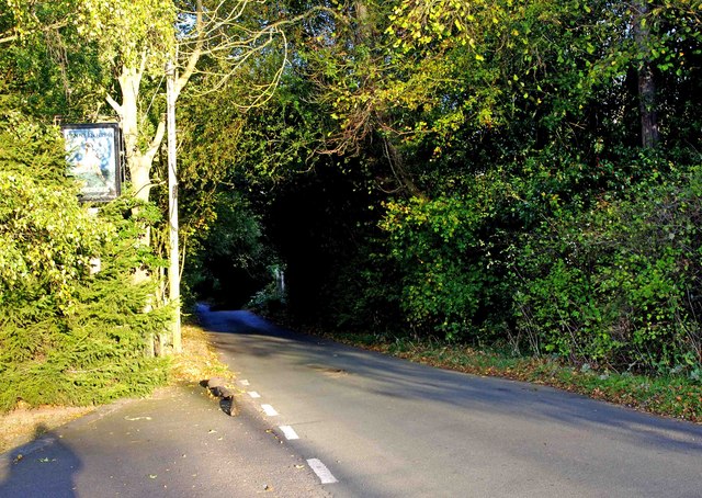
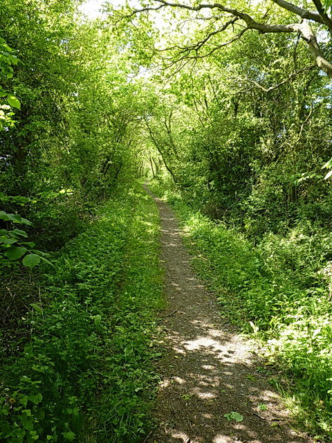
The surrounding countryside offers ample opportunities for outdoor activities, such as walking, cycling, and exploring the nearby Shropshire Hills Area of Outstanding Natural Beauty. Barrow's rural location provides a peaceful and serene environment, making it an ideal place for those seeking a tranquil lifestyle away from the hustle and bustle of urban areas.

If you have any feedback on the listing, please let us know in the comments section below.

Barrow Images

Images are sourced within 2km of 52.58966/-2.485477 or Grid Reference SO6799. Thanks to Geograph Open Source API. All images are credited.

A diverted footpath The marked path to the east of this point has been extinguished due to an expansion of the clay workings/gravel pit further east, and the path now comes down this field into the valley of the Dean Brook.
A diverted footpath
The marked path to the east of this point has been extinguished due to an expansion of the clay workings/gravel pit further east, and the path now comes down this field into the valley of the Dean Brook.
Deserted cottage at Darley There's not much but luck holding this place together - the roof's leaking and all the windows and doors are long gone. It's basically just a sheep shelter, and has never had gas, electricity, a mains water supply or vehicular access.
Deserted cottage at Darley
There's not much but luck holding this place together - the roof's leaking and all the windows and doors are long gone. It's basically just a sheep shelter, and has never had gas, electricity, a mains water supply or vehicular access.
In the Dean Brook valley Looking up the valley of the Dean Brook, with Honeypot Coppice on the left. The stones in the foreground appear to be the remnants of an unidentifiable building, possibly associated with the old cottage <a href="https://www.geograph.org.uk/photo/2364415">SO6899 : Deserted cottage at Darley</a> a couple of hundred yards away.
In the Dean Brook valley
Looking up the valley of the Dean Brook, with Honeypot Coppice on the left. The stones in the foreground appear to be the remnants of an unidentifiable building, possibly associated with the old cottage SO6899 : Deserted cottage at Darley a couple of hundred yards away.
Footbridge across the Dean Brook
Footbridge below the old cottage The original line of the footpath previously used this bridge, but since the path's been diverted a little to the west due to expansion of the clay workings above, this is now visited less often.
Footbridge below the old cottage
The original line of the footpath previously used this bridge, but since the path's been diverted a little to the west due to expansion of the clay workings above, this is now visited less often.
Derelict farm buildings above the Dean Brook The ruins of a couple of field barns, one of rough stone and the other brick-built, in a field on the south side of the valley.
Derelict farm buildings above the Dean Brook
The ruins of a couple of field barns, one of rough stone and the other brick-built, in a field on the south side of the valley.
Abandoned farm at Darley This substantial farmhouse, with a scattering of outhouses nearby, lies abandoned in the woods near Darley. It looks in reasonable condition from a  distance, but once close up, the cracks appear, and some of them are big enough to let daylight right through walls.
Abandoned farm at Darley
This substantial farmhouse, with a scattering of outhouses nearby, lies abandoned in the woods near Darley. It looks in reasonable condition from a distance, but once close up, the cracks appear, and some of them are big enough to let daylight right through walls.
The abandoned farmhouse at Darley
Pheasant pens at Honeypot houses A large pen for pheasant-rearing, apparently attached to Rudgewood Farm or a nearby smallholding. The dog was VERY interested in the inhabitants of this...
Pheasant pens at Honeypot houses
A large pen for pheasant-rearing, apparently attached to Rudgewood Farm or a nearby smallholding. The dog was VERY interested in the inhabitants of this...
Footpath into the woods - Honeypot Coppice This has the look and feel of quite an old right of way; it leads down towards the Dean Brook valley, and a couple of abandoned farm buildings.
Footpath into the woods - Honeypot Coppice
This has the look and feel of quite an old right of way; it leads down towards the Dean Brook valley, and a couple of abandoned farm buildings.
The Pheasant (1), Britons Lane, Linley Brook The Pheasant, or Pheasants Inn as it is often called, is a rural pub of traditional character. Real ale is available, as well as food, and the pub has bar billiards.

Other photos:-

<a href="https://www.geograph.org.uk/photo/2686355">SO6797 : The Pheasant (2), Britons Lane, Linley Brook</a>.
<a href="https://www.geograph.org.uk/photo/2686374">SO6797 : The Pheasant (3) - sign, Britons Lane, Linley Brook</a>.
<a href="https://www.geograph.org.uk/photo/2686388">SO6897 : The Pheasant (4) - sign, Britons Lane, Linley Brook</a>.
The Pheasant (1), Britons Lane, Linley Brook
The Pheasant, or Pheasants Inn as it is often called, is a rural pub of traditional character. Real ale is available, as well as food, and the pub has bar billiards. Other photos:- SO6797 : The Pheasant (2), Britons Lane, Linley Brook. SO6797 : The Pheasant (3) - sign, Britons Lane, Linley Brook. SO6897 : The Pheasant (4) - sign, Britons Lane, Linley Brook.
The Pheasant (2), Britons Lane, Linley Brook An attractive rural pub in the small rather scattered village of Linley Brook. Back in 2004, there was an application to convert the pub into residential use, but this was not accepted, and today it remains in use as a pub.

More photos:- <a href="https://www.geograph.org.uk/photo/2686325">SO6797 : The Pheasant (1), Britons Lane, Linley Brook</a>.
The Pheasant (2), Britons Lane, Linley Brook
An attractive rural pub in the small rather scattered village of Linley Brook. Back in 2004, there was an application to convert the pub into residential use, but this was not accepted, and today it remains in use as a pub. More photos:- SO6797 : The Pheasant (1), Britons Lane, Linley Brook.
The Pheasant (3) - sign, Britons Lane, Linley Brook The Pheasant has two pub signs. This one is attached to the front of the building. The other, of a different design, is on a post in the car park.

More photos:- <a href="https://www.geograph.org.uk/photo/2686325">SO6797 : The Pheasant (1), Britons Lane, Linley Brook</a>.
The Pheasant (3) - sign, Britons Lane, Linley Brook
The Pheasant has two pub signs. This one is attached to the front of the building. The other, of a different design, is on a post in the car park. More photos:- SO6797 : The Pheasant (1), Britons Lane, Linley Brook.
The Pheasant (4) - sign, Britons Lane, Linley Brook This sign, gradually being enveloped by a neighbouring tree, is at the far end of the car park of the Pheasant pub. It is on top of a post. Another sign, of a different design, is to be found attached to the front of the pub.

More photos:- <a href="https://www.geograph.org.uk/photo/2686325">SO6797 : The Pheasant (1), Britons Lane, Linley Brook</a>.
The Pheasant (4) - sign, Britons Lane, Linley Brook
This sign, gradually being enveloped by a neighbouring tree, is at the far end of the car park of the Pheasant pub. It is on top of a post. Another sign, of a different design, is to be found attached to the front of the pub. More photos:- SO6797 : The Pheasant (1), Britons Lane, Linley Brook.
Britons Lane, Linley Brook Unclassified road leading to the B4373 road.
Britons Lane, Linley Brook
Unclassified road leading to the B4373 road.
The Pheasant at Linley no more Sadly it looks like the optimism in <a href="https://www.geograph.org.uk/photo/2686355">SO6797 : The Pheasant (2), Britons Lane, Linley Brook</a> was unfounded; the signage has now gone, and the pub appears to be no longer trading. All the evidence points to it having closed down.
The Pheasant at Linley no more
Sadly it looks like the optimism in SO6797 : The Pheasant (2), Britons Lane, Linley Brook was unfounded; the signage has now gone, and the pub appears to be no longer trading. All the evidence points to it having closed down.
Up the bridleway towards Linley Brook
Willey Park: aerial 2018
Show me another place!

Barrow is located at Grid Ref: SO6799 (Lat: 52.58966, Lng: -2.485477)

Unitary Authority: Shropshire

Police Authority: West Mercia

What 3 Words

///vast.champions.nagging. Near Broseley, Shropshire

Related Wikis

Willey, Shropshire

Willey is a small village in the civil parish of Barrow, south west of the town of Broseley, Shropshire, England. It is made up of about 4 farms and the...

Buildwas Formation

The Buildwas Formation (Bw, BUI), formerly called Wenlock Shale and Buildwas Beds, is a geologic formation in Shropshire, England. It preserves fossils...

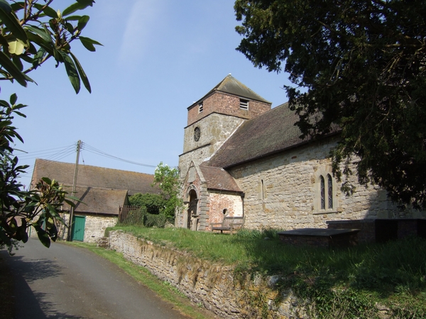
St Giles' Church, Barrow

St Giles' Church is in the hamlet of Barrow, Shropshire, England. It is an active Anglican parish church in the deanery of Telford Severn Gorge, the archdeaconry...

St Leonard's Church, Linley

St Leonard's Church is in the hamlet of Linley, Shropshire, England. It is a redundant church under the care of the Churches Conservation Trust. When...

Related Videos

ASMR.Broseley Town Trail

A tour of the fascinating town of Broseley in Shropshire. A little town with big links to the Industrial Revolution.

Out to Broseley.

A walk out to Broseley taking in Coalport, Caughley, Broseley, Calcutts, Jackfield and Ironbridge.

Nearby Amenities

Located within 500m of 52.58966,-2.485477
Turning Circle
Lat/Long: 52.589277/-2.4843978
Telephone
Defibrillator
Booth: K6
Covered: booth
Defibrillator Location: inside old red phone box, Church Road, Willey
Emergency: defibrillator
Man Made: telephone_box
Lat/Long: 52.5896468/-2.4839392
Post Box
Post Box Type: wall
Lat/Long: 52.5896317/-2.4839179
Willey
Place: village
Source Name: OS OpenData StreetView
Lat/Long: 52.5899089/-2.4842583
The data included in this document is from www.openstreetmap.org. The data is made available under ODbL.

Have you been to Barrow?

Leave your review of Barrow below (or comments, questions and feedback).