Barrow
Civil Parish in Cheshire
England
Barrow

Barrow is a civil parish located in the county of Cheshire, England. Situated in the northwest of the county, it is part of the Cheshire West and Chester local government district. The parish covers an area of approximately 9 square kilometers and has a population of around 2,500 residents.
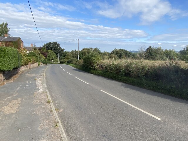
Barrow is a rural area surrounded by picturesque countryside, with rolling hills and farmland dominating the landscape. The village itself is small but vibrant, with a close-knit community and a strong sense of community spirit. It is characterized by its traditional Cheshire sandstone buildings, giving it a charming and timeless appearance.
The parish has a range of amenities and services to cater to the needs of its residents. These include a primary school, a village hall, and a local pub. There are also several small businesses and shops, providing essential goods and services to the community.
For outdoor enthusiasts, Barrow offers plenty of opportunities for recreation. The surrounding countryside is crisscrossed with footpaths and bridleways, making it ideal for walking, cycling, and horse riding. The area is also home to several nature reserves, where visitors can observe a variety of wildlife and enjoy the peaceful natural surroundings.
Overall, Barrow is a tranquil and picturesque civil parish in Cheshire, offering a high quality of life for its residents and attracting visitors with its natural beauty and rural charm.
If you have any feedback on the listing, please let us know in the comments section below.
Barrow Images
Images are sourced within 2km of 53.22052/-2.788459 or Grid Reference SJ4769. Thanks to Geograph Open Source API. All images are credited.


Barrow is located at Grid Ref: SJ4769 (Lat: 53.22052, Lng: -2.788459)
Unitary Authority: Cheshire West and Chester
Police Authority: Cheshire
What 3 Words
///friday.elbowed.flattered. Near Mickle Trafford, Cheshire
Nearby Locations
Related Wikis

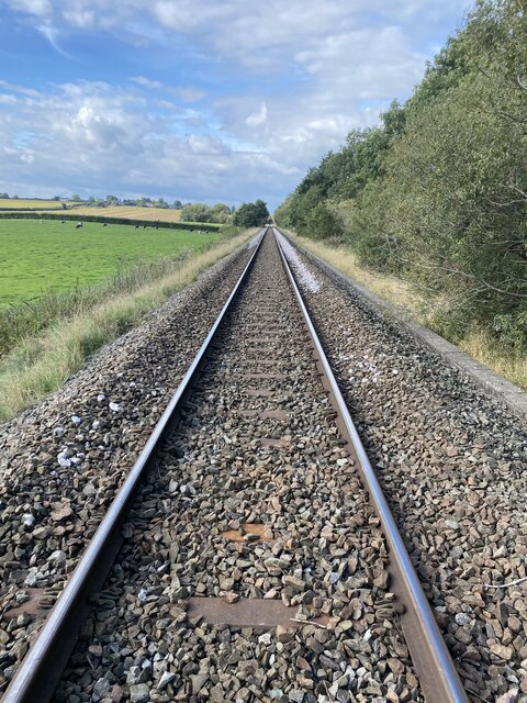
Barrow for Tarvin railway station
Barrow for Tarvin railway station was in Barrow, Cheshire, England. The station was opened by the Cheshire Lines Committee on 1 May 1875 as Tarvin & Barrow...

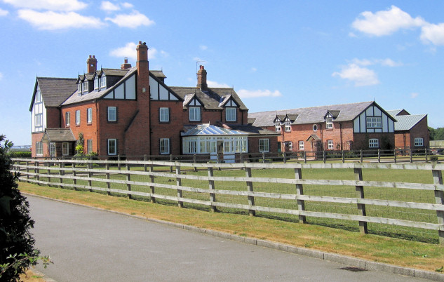
Barrow Hall, Cheshire
Barrow Hall is in the village of Great Barrow, in the civil parish of Barrow, Cheshire, England. It is recorded in the National Heritage List for England...
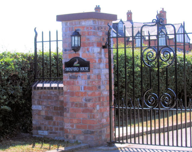
Barrow, Cheshire
Barrow is a civil parish, in the unitary authority of Cheshire West and Chester and the ceremonial county of Cheshire, England. The civil parish contains...
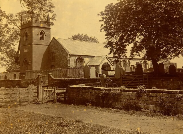
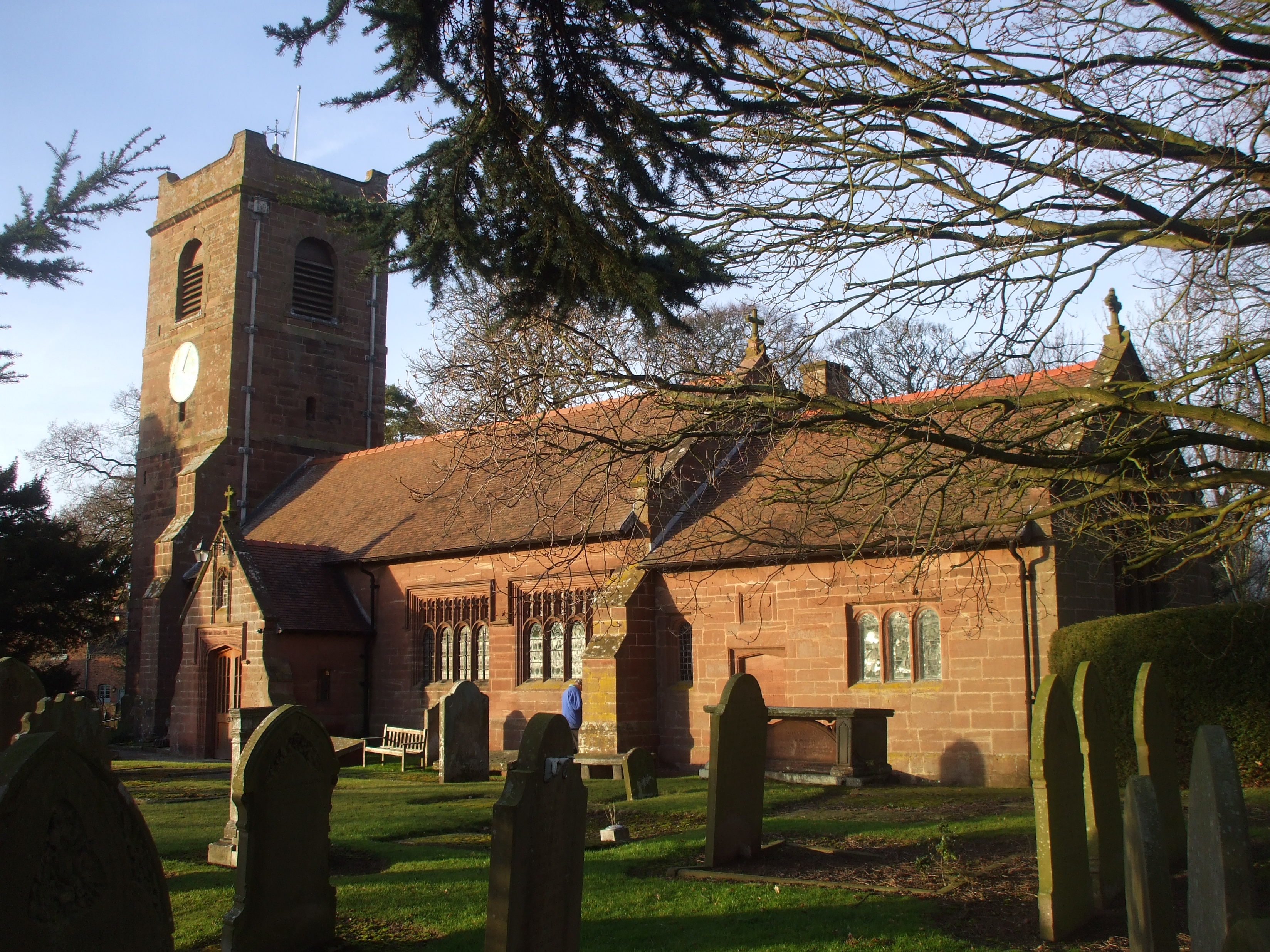
St Bartholomew's Church, Barrow
St Bartholomew's Church is in the village of Great Barrow in the civil parish of Barrow, Cheshire, England. It is recorded in the National Heritage List...

St Peter's Church, Plemstall
St Peter's Church, Plemstall stands in an isolated position at the end of a country lane near the village of Mickle Trafford, Cheshire, England. It is...

Plemstall
Plemstall (formerly Plemonstall) is a hamlet in the civil parish of Mickle Trafford and District, Cheshire, England. It lies northeast of the village of...

St. Plegmund's well
St. Plegmund's well lies about 220 yards (201 m) to the west of St Peter's Church, Plemstall near the village of Mickle Trafford, Cheshire, England (grid...
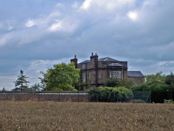
Peel Hall, Cheshire
Peel Hall is a country house near the village of Ashton Hayes, Cheshire, England. It is recorded in the National Heritage List for England as a designated...
Related Videos

Barbados with J F Polo Holidays
Fancy joining us in Barbados.... we travel to this beautiful location every February/March with clients.

Volvo FH500 Tag axle tractor unit For Sale
2018 (67) VOLVO FH500 I-SHIFT GLOBETROTTER 3.0 METRE WHEELBASE TRACTOR UNIT. VERY SMART ALL ROUND ...

Manley Mere
More messing about with colour grading.

Paddle boarding with my son at Manley Mere
First time paddle boarding. Me an my son went to manley mere, once we got setup an hit the water, we both absolutely loved it.
Nearby Amenities
Located within 500m of 53.22052,-2.788459Have you been to Barrow?
Leave your review of Barrow below (or comments, questions and feedback).