Barrow

Civil Parish in Lancashire Ribble Valley

England

Barrow

McDonald's on the Ribble Valley Enterprise Park near Clitheroe
McDonald's on the Ribble Valley Enterprise Park near Clitheroe Credit: Steve Daniels

Barrow is a civil parish located in Lancashire, England. It is situated in the southern part of the county, approximately 4 miles southeast of Clitheroe. The parish covers an area of around 5 square kilometers and has a population of approximately 1,200 residents.

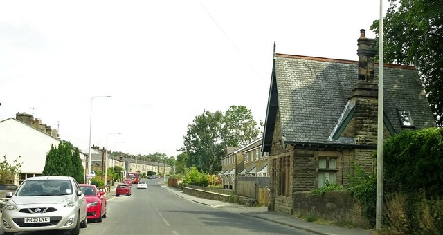
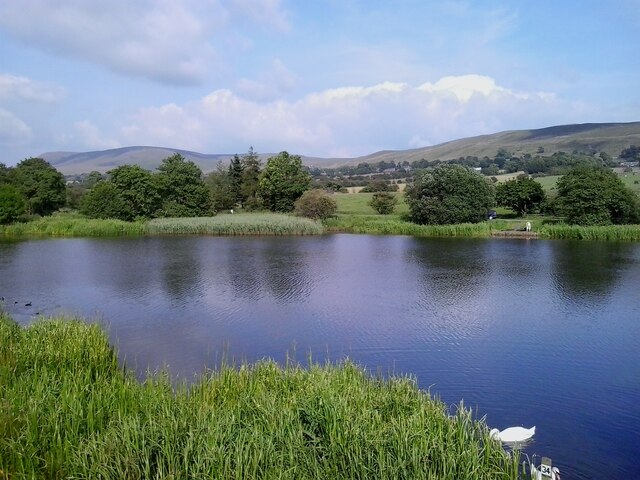
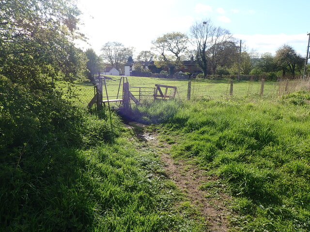
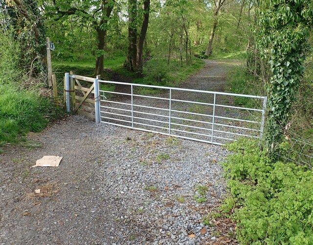
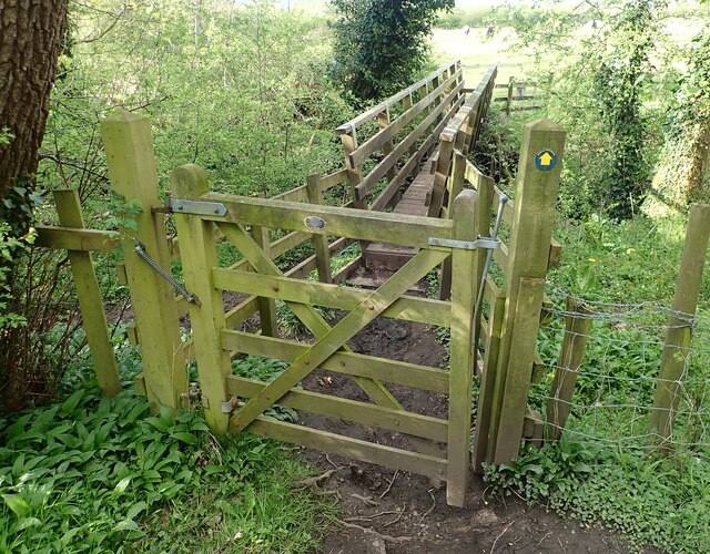
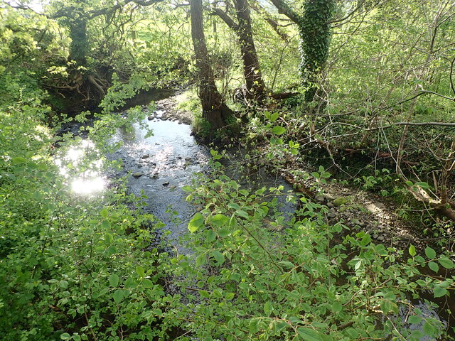
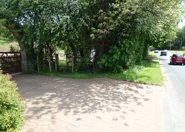
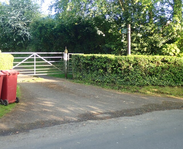
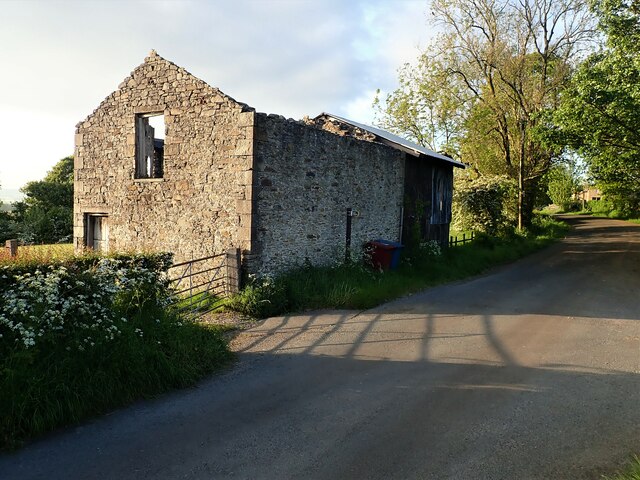
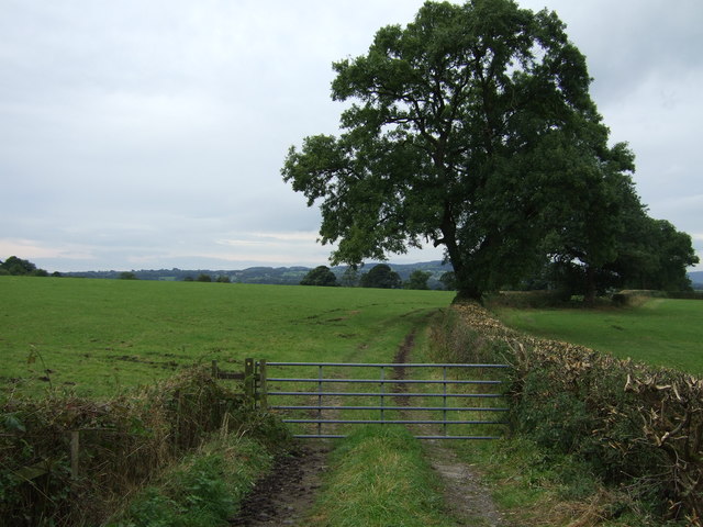
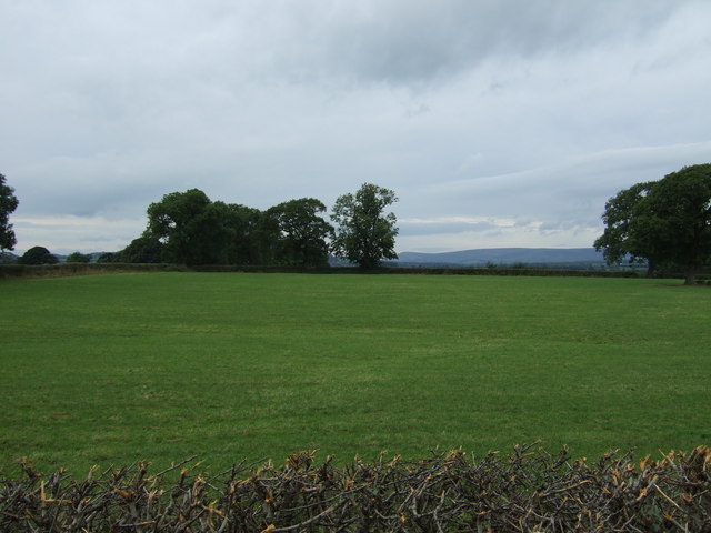
Barrow is a small, predominantly rural community with a charming and picturesque landscape. The area is characterized by rolling hills, green fields, and woodland, providing a tranquil and peaceful environment for its inhabitants. The parish is surrounded by several other rural communities, creating a close-knit and friendly atmosphere.

The village itself is compact, with a few small shops, a primary school, and a village hall serving as a community hub. The parish also boasts a historic church, St. Peter's Church, which dates back to the 12th century and is a prominent landmark in the area. The church provides a place of worship and also hosts community events and activities.

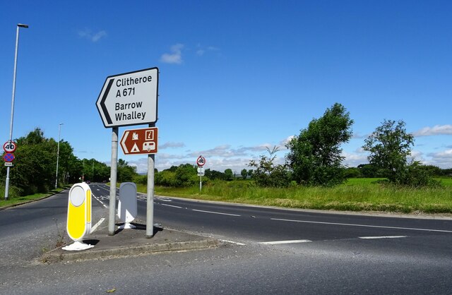
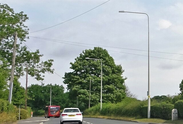
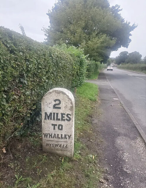
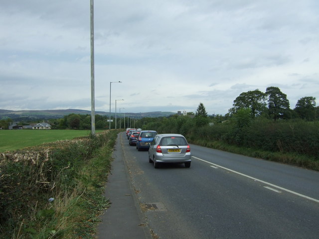
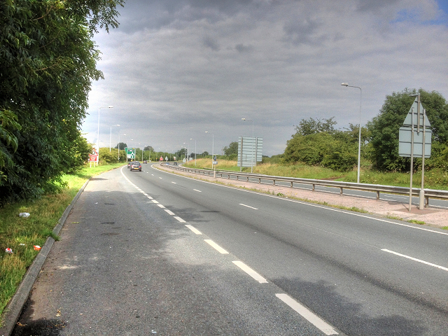
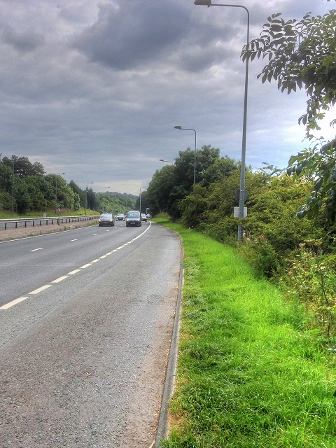
Barrow is well-connected to neighboring towns and cities. The A59 road passes through the parish, providing easy access to Clitheroe and other major transport links. Additionally, the nearby Ribble Valley railway line offers train services to destinations such as Manchester and Blackburn.

The parish is known for its natural beauty and is a popular destination for outdoor enthusiasts. The surrounding countryside offers numerous walking and cycling trails, allowing residents and visitors to explore the stunning scenery and enjoy the peaceful surroundings.

Overall, Barrow is a quaint and idyllic rural parish, offering a close community spirit, beautiful landscapes, and easy access to nearby amenities.

If you have any feedback on the listing, please let us know in the comments section below.
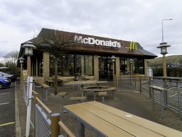
Barrow Images

Images are sourced within 2km of 53.840574/-2.400665 or Grid Reference SD7338. Thanks to Geograph Open Source API. All images are credited.

McDonald's on the Ribble Valley Enterprise Park near Clitheroe
Road Junction The junction of A59 and A671.
Road Junction
The junction of A59 and A671.
Whalley Road at Barrow
Whalley Road Two miles to Clitheroe.
Whalley Road
Two miles to Clitheroe.
Barrow Fish Pond View towards Pendle Hill from the fish pond by the A59 in Barrow
Barrow Fish Pond
View towards Pendle Hill from the fish pond by the A59 in Barrow
Footpath from Kingsmill Avenue The footpath leading from the end of Kingsmill Avenue over the field to Common Side.
Footpath from Kingsmill Avenue
The footpath leading from the end of Kingsmill Avenue over the field to Common Side.
Footpath to Barrow Brook The access from Mitton Road for the Footpath leading to Barrow Brook.
Footpath to Barrow Brook
The access from Mitton Road for the Footpath leading to Barrow Brook.
Bridge over Barrow Brook The footpath and stile providing access to the bridge over Barrow Brook.
Bridge over Barrow Brook
The footpath and stile providing access to the bridge over Barrow Brook.
Barrow Brook Looking along Barrow Brook from the footpath on the bridge.
Barrow Brook
Looking along Barrow Brook from the footpath on the bridge.
Stile Clitheroe Road Whalley The stile for the footpath opposite the Cemetery on Clitheroe Road Whalley.
Stile Clitheroe Road Whalley
The stile for the footpath opposite the Cemetery on Clitheroe Road Whalley.
Footpath Parker Place Farm The entrance and footpath sign at Parker Place Farm off Pendleton Road.
Footpath Parker Place Farm
The entrance and footpath sign at Parker Place Farm off Pendleton Road.
Derelict Building The derelict building opposite the entrance to Wiswell Eaves Farm off Pendleton Road.
Derelict Building
The derelict building opposite the entrance to Wiswell Eaves Farm off Pendleton Road.
Old Milestone by Whalley Road, Wiswell parish Carved stone post by the UC road (was A59), in parish of WISWELL (RIBBLE VALLEY District), North of Barrow, opposite Garden Centre, on verge in front of semi-detached houses, on East side of road. Whalley stone, erected by the Clitheroe to Blackburn & Mellor Brook turnpike trust in the 19th century. 

Inscription reads:-
: 2 / MILES / TO / WHALLEY/ - / WISWELL / - : : 2 / MILES / TO / CLITHEROE / - / WISWELL / - : 

Milestone Society National ID: LA_CLWH02.
Old Milestone by Whalley Road, Wiswell parish
Carved stone post by the UC road (was A59), in parish of WISWELL (RIBBLE VALLEY District), North of Barrow, opposite Garden Centre, on verge in front of semi-detached houses, on East side of road. Whalley stone, erected by the Clitheroe to Blackburn & Mellor Brook turnpike trust in the 19th century. Inscription reads:- : 2 / MILES / TO / WHALLEY/ - / WISWELL / - : : 2 / MILES / TO / CLITHEROE / - / WISWELL / - : Milestone Society National ID: LA_CLWH02.
Gated farm track off Whalley Road (A671)
Grazing west of Whalley Road (A671)
Tailback on Whalley Road (A671) Heading north into Clitheroe.
Tailback on Whalley Road (A671)
Heading north into Clitheroe.
A59, Looking North from Layby near Barrow The A59 is a 106 mile long, Trans-Pennine road from York to Liverpool, via Skipton.
<span class="nowrap"><a title="http://www.sabre-roads.org.uk/wiki/index.php?title=A59" rel="nofollow ugc noopener" href="http://www.sabre-roads.org.uk/wiki/index.php?title=A59">Link</a><img style="margin-left:2px;" alt="External link" title="External link - shift click to open in new window" src="https://s1.geograph.org.uk/img/external.png" width="10" height="10"/></span>
A59, Looking North from Layby near Barrow
The A59 is a 106 mile long, Trans-Pennine road from York to Liverpool, via Skipton. LinkExternal link
A59, Looking South from Layby near Barrow The A59 is a 106 mile long, Trans-Pennine road from York to Liverpool, via Skipton.
<span class="nowrap"><a title="http://www.sabre-roads.org.uk/wiki/index.php?title=A59" rel="nofollow ugc noopener" href="http://www.sabre-roads.org.uk/wiki/index.php?title=A59">Link</a><img style="margin-left:2px;" alt="External link" title="External link - shift click to open in new window" src="https://s1.geograph.org.uk/img/external.png" width="10" height="10"/></span>
A59, Looking South from Layby near Barrow
The A59 is a 106 mile long, Trans-Pennine road from York to Liverpool, via Skipton. LinkExternal link
Show me another place!

Barrow is located at Grid Ref: SD7338 (Lat: 53.840574, Lng: -2.400665)

Administrative County: Lancashire

District: Ribble Valley

Police Authority: Lancashire

What 3 Words

///sounds.pulps.worth. Near Whalley, Lancashire

Nearby Locations

Barrow Barrow

Related Wikis

Barrow, Lancashire

Barrow is a village and civil parish in the Ribble Valley district in Lancashire, England, situated between Whalley and Clitheroe and bypassed by the A59...

Wiswell

Wiswell is a small village and civil parish in the Ribble Valley, Lancashire, England, close to Whalley and Clitheroe at the foot of Wiswell Moor. At the...
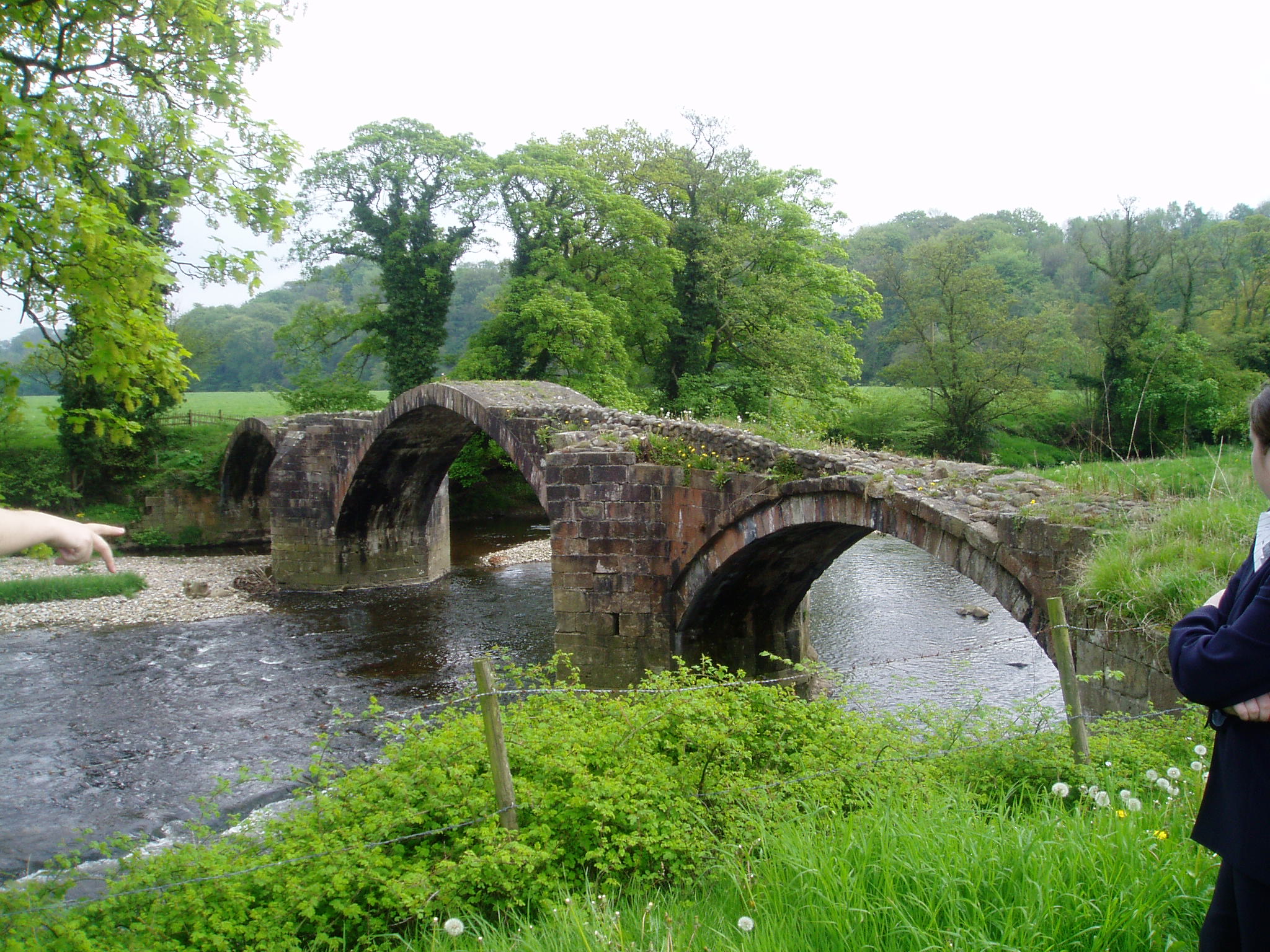
River Hodder

The River Hodder is in Lancashire, England. It is a County Biological Heritage Site. It rises on White Hill and flows for approximately 23 miles to the...

Time and Tide Bell

Time and Tide Bell is an art project made up of bells, designed by UK sculptor Marcus Vergette and Australian bell designer Neil McLachlan, installed at...

Nearby Amenities

Located within 500m of 53.840574,-2.400665
Barrow
Place: hamlet
Source: npe
Lat/Long: 53.8406524/-2.4025937
Turning Circle
Lat/Long: 53.8417423/-2.4010489
Place Of Worship
Barrow URC Church
Denomination: united_reformed
Religion: christian
Lat/Long: 53.8425293/-2.3985278
Telephone
Booth: KX100
Covered: booth
Lat/Long: 53.8421099/-2.3996635
Restaurant
Great Land
Lat/Long: 53.8420147/-2.399981
Post Box
Note: Post box is in the wall of a house.
Post Box Type: wall
Royal Cypher: GR
Royal Cypher Wikidata: Q33102273
Lat/Long: 53.8416956/-2.3998858
Mini Roundabout
Lat/Long: 53.8372834/-2.4024676
Post Box
Note: Post box is in a low wall at the corner of Whiteacre Lane.
Post Box Type: wall
Lat/Long: 53.837322/-2.4023447
Bus Stop
Business Village
Bus: yes
Public Transport: platform
Lat/Long: 53.839469/-2.3963944
Noexit: yes
Lat/Long: 53.8389801/-2.4038482
Noexit: yes
Lat/Long: 53.8390498/-2.4037669
Crossing
Crossing: marked
Lat/Long: 53.8396693/-2.3959327
Crossing
Crossing: marked
Lat/Long: 53.8396341/-2.3963903
Crossing
Crossing: marked
Lat/Long: 53.8399102/-2.3958404
Crossing
Crossing: marked
Lat/Long: 53.839593/-2.3957686
Crossing
Crossing: marked
Lat/Long: 53.8395688/-2.396616
Crossing
Crossing: marked
Lat/Long: 53.8396656/-2.3965708
Crossing
Crossing: marked
Lat/Long: 53.8399577/-2.3964667
Crossing
Crossing: marked
Lat/Long: 53.8400629/-2.3960159
Crossing
Crossing: marked
Lat/Long: 53.8396549/-2.3961628
Crossing
Crossing: marked
Lat/Long: 53.8398413/-2.3948117
Crossing
Crossing: marked
Lat/Long: 53.8397784/-2.3947502
Generator Method: photovoltaic
Generator Output Electricity: yes
Generator Source: solar
Generator Type: solar_photovoltaic_panel
Location: roof
Power: generator
Lat/Long: 53.8397345/-2.4012806
Generator Method: photovoltaic
Generator Output Electricity: yes
Generator Source: solar
Generator Type: solar_photovoltaic_panel
Location: roof
Power: generator
Lat/Long: 53.8397693/-2.4012511
Generator Method: photovoltaic
Generator Output Electricity: yes
Generator Source: solar
Generator Type: solar_photovoltaic_panel
Location: roof
Power: generator
Lat/Long: 53.8398089/-2.401219
Generator Method: photovoltaic
Generator Output Electricity: yes
Generator Source: solar
Generator Type: solar_photovoltaic_panel
Location: roof
Power: generator
Lat/Long: 53.8398374/-2.4011841
Generator Method: photovoltaic
Generator Output Electricity: yes
Generator Source: solar
Generator Type: solar_photovoltaic_panel
Location: roof
Power: generator
Lat/Long: 53.8399022/-2.4011573
Generator Method: photovoltaic
Generator Output Electricity: yes
Generator Source: solar
Generator Type: solar_photovoltaic_panel
Location: roof
Power: generator
Lat/Long: 53.8399386/-2.4011304
Generator Method: photovoltaic
Generator Output Electricity: yes
Generator Source: solar
Generator Type: solar_photovoltaic_panel
Location: roof
Power: generator
Lat/Long: 53.8399766/-2.4011009
Generator Method: photovoltaic
Generator Output Electricity: yes
Generator Source: solar
Generator Type: solar_photovoltaic_panel
Location: roof
Power: generator
Lat/Long: 53.840013/-2.4010741
Generator Method: photovoltaic
Generator Output Electricity: yes
Generator Source: solar
Generator Type: solar_photovoltaic_panel
Location: roof
Power: generator
Lat/Long: 53.8391521/-2.3996767
Generator Method: photovoltaic
Generator Output Electricity: yes
Generator Source: solar
Generator Type: solar_photovoltaic_panel
Location: roof
Power: generator
Lat/Long: 53.8391331/-2.3996123
Generator Method: photovoltaic
Generator Output Electricity: yes
Generator Source: solar
Generator Type: solar_photovoltaic_panel
Location: roof
Power: generator
Lat/Long: 53.8391283/-2.3995694
Generator Method: photovoltaic
Generator Output Electricity: yes
Generator Source: solar
Generator Type: solar_photovoltaic_panel
Location: roof
Power: generator
Lat/Long: 53.8391109/-2.3995238
Generator Method: photovoltaic
Generator Output Electricity: yes
Generator Source: solar
Generator Type: solar_photovoltaic_panel
Location: roof
Power: generator
Lat/Long: 53.8390777/-2.3994004
Generator Method: photovoltaic
Generator Output Electricity: yes
Generator Source: solar
Generator Type: solar_photovoltaic_panel
Location: roof
Power: generator
Lat/Long: 53.8390634/-2.3993414
Generator Method: photovoltaic
Generator Output Electricity: yes
Generator Source: solar
Generator Type: solar_photovoltaic_panel
Location: roof
Power: generator
Lat/Long: 53.8390429/-2.3992663
Generator Method: photovoltaic
Generator Output Electricity: yes
Generator Source: solar
Generator Type: solar_photovoltaic_panel
Location: roof
Power: generator
Lat/Long: 53.8375565/-2.4008757
Generator Method: photovoltaic
Generator Output Electricity: yes
Generator Source: solar
Generator Type: solar_photovoltaic_panel
Location: roof
Power: generator
Lat/Long: 53.8364196/-2.398003
Generator Method: photovoltaic
Generator Output Electricity: yes
Generator Source: solar
Generator Type: solar_photovoltaic_panel
Location: roof
Power: generator
Lat/Long: 53.8402069/-2.4009615
Generator Method: photovoltaic
Generator Output Electricity: yes
Generator Source: solar
Generator Type: solar_photovoltaic_panel
Location: roof
Power: generator
Lat/Long: 53.8401895/-2.4008917
Generator Method: photovoltaic
Generator Output Electricity: yes
Generator Source: solar
Generator Type: solar_photovoltaic_panel
Location: roof
Power: generator
Lat/Long: 53.8390737/-2.3980942
Generator Method: photovoltaic
Generator Output Electricity: yes
Generator Source: solar
Generator Type: solar_photovoltaic_panel
Location: roof
Power: generator
Lat/Long: 53.8390484/-2.3981156
Generator Method: photovoltaic
Generator Output Electricity: yes
Generator Source: solar
Generator Type: solar_photovoltaic_panel
Location: roof
Power: generator
Lat/Long: 53.8390009/-2.3981532
Generator Method: photovoltaic
Generator Output Electricity: yes
Generator Source: solar
Generator Type: solar_photovoltaic_panel
Location: roof
Power: generator
Lat/Long: 53.8389819/-2.3981693
Generator Method: photovoltaic
Generator Output Electricity: yes
Generator Source: solar
Generator Type: solar_photovoltaic_panel
Location: roof
Power: generator
Lat/Long: 53.838644/-2.4006965
Generator Method: photovoltaic
Generator Output Electricity: yes
Generator Source: solar
Generator Type: solar_photovoltaic_panel
Location: roof
Power: generator
Lat/Long: 53.8393087/-2.400262
Bus Stop
Audley House
Bus: yes
Naptan AtcoCode: 2500IMG2355
Naptan NaptanCode: langatjm
Public Transport: platform
Lat/Long: 53.8433958/-2.3980249
Bus Stop
Primary School
Bus: yes
Naptan AtcoCode: 250013652
Naptan NaptanCode: lanamdap
Public Transport: platform
Lat/Long: 53.8423743/-2.3991387
Bus Stop
Primary School
Bus: yes
Naptan AtcoCode: 2500IMG2356
Naptan NaptanCode: langatjp
Public Transport: platform
Lat/Long: 53.8424131/-2.3992293
Bus Stop
Trafford Gardens
Bus: yes
Naptan AtcoCode: 2500IMG2357
Naptan NaptanCode: langatjt
Public Transport: platform
Lat/Long: 53.8412222/-2.4003933
Bus Stop
Trafford Gardens
Bus: yes
Public Transport: platform
Lat/Long: 53.8406003/-2.4011055
Bus Stop
Whiteacre Lane
Bus: yes
Naptan AtcoCode: 2500DCL475
Naptan NaptanCode: landmamt
Public Transport: platform
Lat/Long: 53.836919/-2.4025311
Bus Stop
Whiteacre Lane
Bus: yes
Naptan AtcoCode: 2500IMG2359
Naptan NaptanCode: langatma
Public Transport: platform
Lat/Long: 53.8368533/-2.4026491
Generator Method: photovoltaic
Generator Output Electricity: yes
Generator Source: solar
Generator Type: solar_photovoltaic_panel
Location: roof
Power: generator
Lat/Long: 53.8364189/-2.4019101
Generator Method: photovoltaic
Generator Output Electricity: yes
Generator Source: solar
Generator Type: solar_photovoltaic_panel
Location: roof
Power: generator
Lat/Long: 53.8375846/-2.4013147
The data included in this document is from www.openstreetmap.org. The data is made available under ODbL.

Have you been to Barrow?

Leave your review of Barrow below (or comments, questions and feedback).