Barnby
Civil Parish in Suffolk East Suffolk
England
Barnby

Barnby is a civil parish located in the East Suffolk district of Suffolk, England. It is situated approximately 8 miles south-west of the town of Lowestoft and 4 miles north-east of the market town of Beccles. The parish covers an area of around 5.5 square miles and has a population of around 200 people.
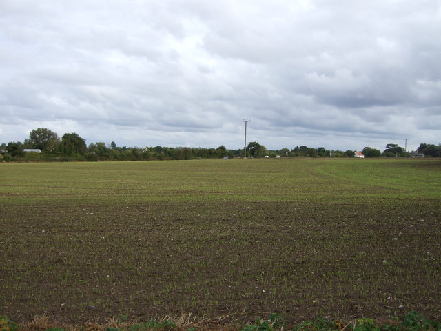
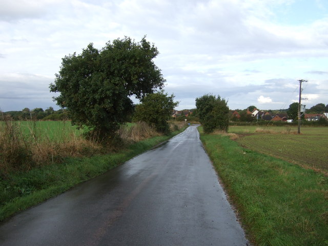
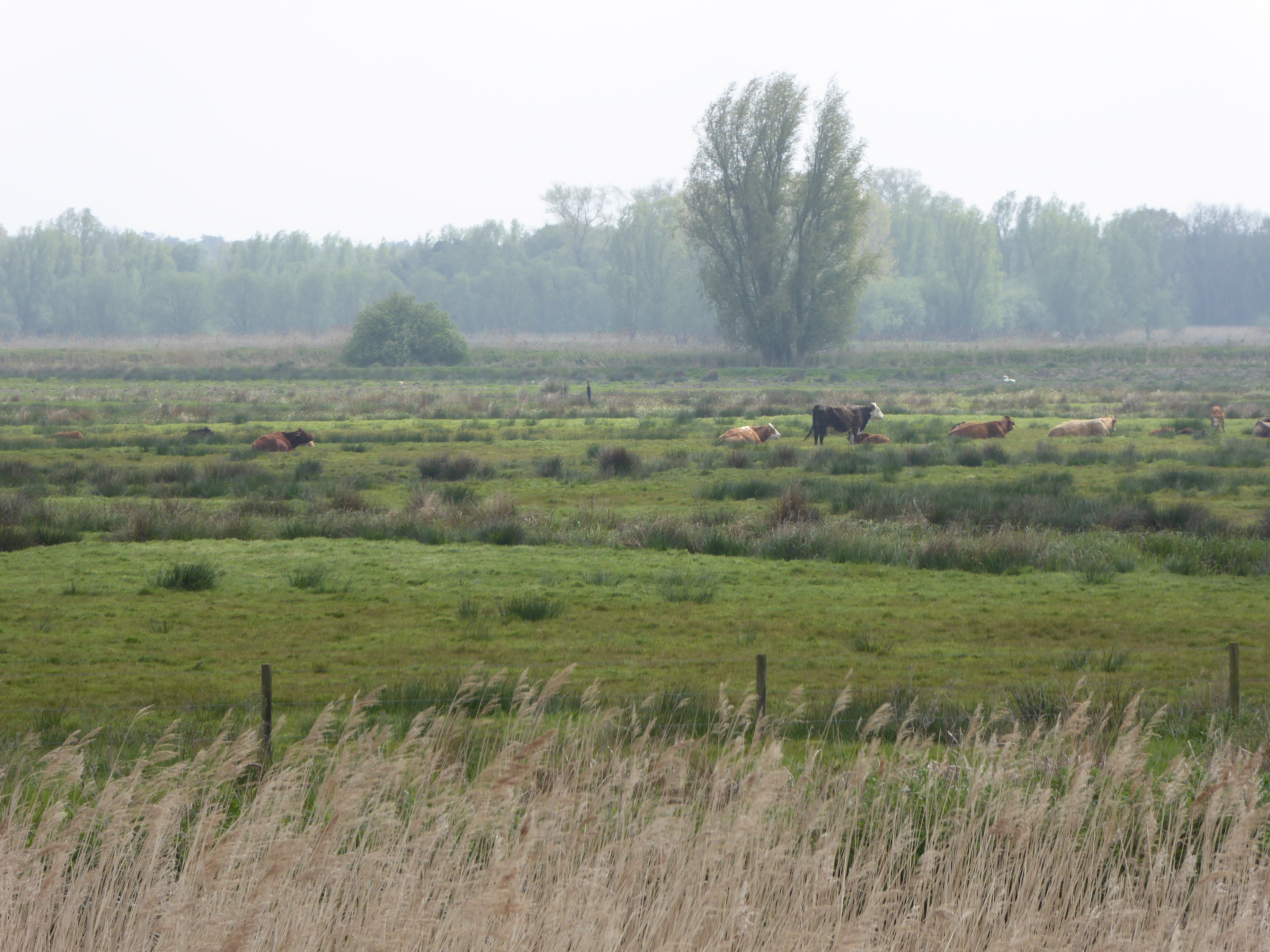
The village of Barnby is a small rural community characterized by its picturesque countryside views and charming traditional cottages. It is surrounded by agricultural land and is nestled alongside the River Waveney, which forms the border between Suffolk and Norfolk. The river provides opportunities for recreational activities such as boating and fishing.
The parish church of St. John the Baptist is a prominent feature in Barnby, with parts of the building dating back to the 13th century. The church is known for its beautiful stained glass windows and historic architecture.
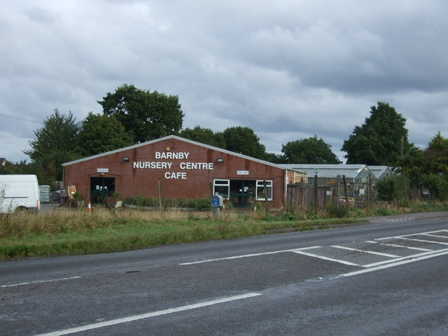
Barnby has limited amenities, with a small village hall that hosts community events and a primary school for local children. Many residents commute to nearby towns for work and access to a wider range of services and amenities.
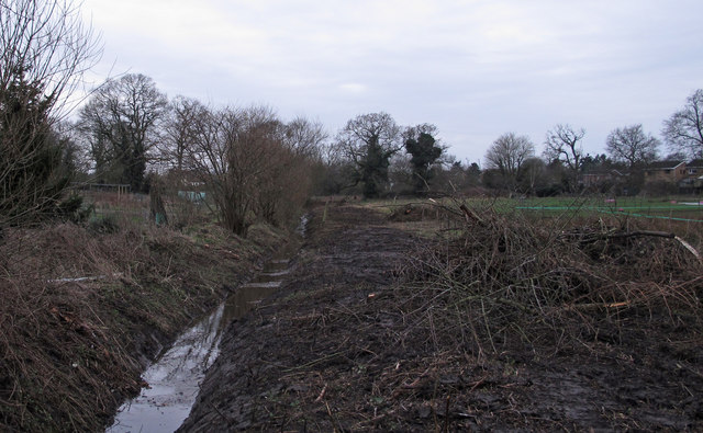
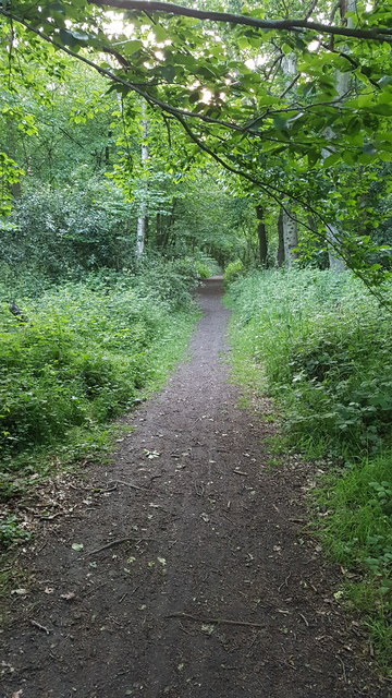
The area surrounding Barnby is popular with outdoor enthusiasts, offering scenic walking and cycling routes along the river and through the nearby marshlands. The village is also within close proximity to the Suffolk coast, allowing residents and visitors to enjoy the beaches and coastal attractions of the area.
Overall, Barnby is a tranquil and picturesque village in Suffolk, offering a peaceful rural lifestyle while still providing easy access to nearby towns and the beautiful Suffolk coast.
If you have any feedback on the listing, please let us know in the comments section below.
Barnby Images
Images are sourced within 2km of 52.462804/1.653842 or Grid Reference TM4891. Thanks to Geograph Open Source API. All images are credited.


Barnby is located at Grid Ref: TM4891 (Lat: 52.462804, Lng: 1.653842)
Administrative County: Suffolk
District: East Suffolk
Police Authority: Suffolk
What 3 Words
///knitted.hazelnuts.playoffs. Near Kessingland, Suffolk
Nearby Locations
Related Wikis
Barnby Broad and Marshes
Barnby Broad and Marshes is a Site of Special Scientific Interest (SSSI) in the Waveney district of the English county of Suffolk. The site is 189.6 hectares...

North Cove Nature Reserve
North Cove is a 15.5-hectare (38-acre) nature reserve between Beccles and Lowestoft in Suffolk. It is managed by the owner and Beccles Bird Society, is...

Castle Marshes
Castle Marshes is a 71 hectare nature reserve west of Lowestoft in Suffolk. It is managed by the Suffolk Wildlife Trust. It is part of the Barnby Broad...

Barnby, Suffolk
Barnby is a village and civil parish in the East Suffolk district of the English county of Suffolk. The village is 5 miles (8.0 km) west of Lowestoft and...

Lowestoft (UK Parliament constituency)
Lowestoft was a parliamentary constituency centred on the town of Lowestoft in Suffolk. It returned one Member of Parliament (MP) to the House of Commons...

North Cove
North Cove is a village and civil parish in the north of the English county of Suffolk. It is part of the East Suffolk district, located around 3 miles...
Oulton Dyke
Oulton Dyke is a freshwater stretch of water in the Norfolk Broads, located in Suffolk within the United Kingdom. The dyke connects Oulton Broad near Lowestoft...
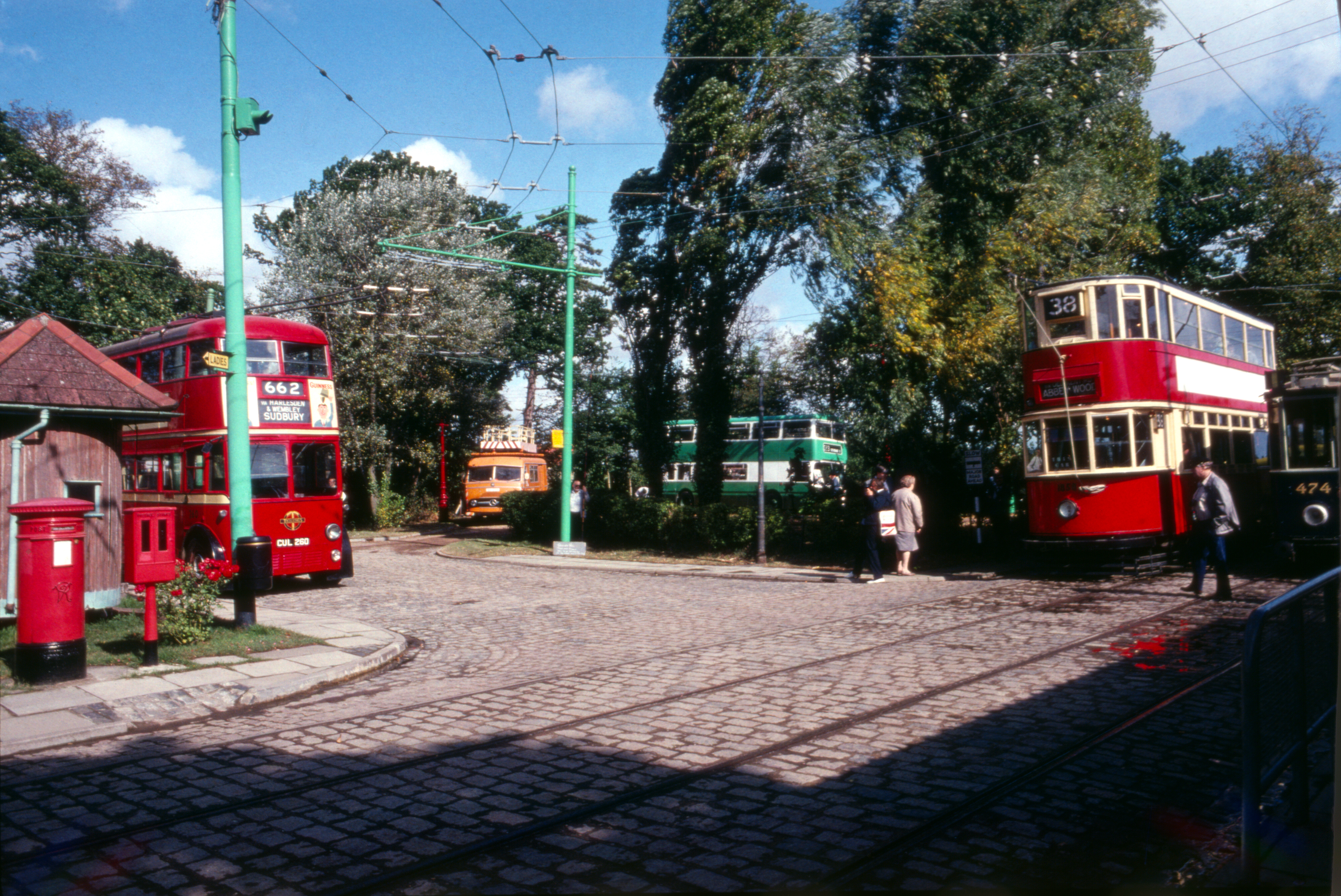
East Anglia Transport Museum
The East Anglia Transport Museum is an open-air transport museum, with numerous historic public transport vehicles (including many in full working order...
Have you been to Barnby?
Leave your review of Barnby below (or comments, questions and feedback).