Barnby Dun with Kirk Sandall
Civil Parish in Yorkshire Doncaster
England
Barnby Dun with Kirk Sandall

Barnby Dun with Kirk Sandall is a civil parish located in the metropolitan borough of Doncaster in South Yorkshire, England. It is situated approximately six miles northeast of Doncaster town center.
The civil parish consists of two villages: Barnby Dun and Kirk Sandall. Barnby Dun is the larger of the two and has a rich history dating back to the Domesday Book. It is known for its picturesque setting along the River Don and its beautiful church, St. Peter and St. Paul, which dates back to the 12th century. The village also features a number of historic buildings and structures, including a windmill and a watermill.
Kirk Sandall, on the other hand, is a smaller village situated to the northwest of Barnby Dun. It is primarily residential and has a close-knit community. The village is known for its scenic countryside, with fields and farmlands surrounding it. There is a local school, Kirk Sandall Infant School, which serves the village and its surrounding areas.
Both Barnby Dun and Kirk Sandall offer a range of amenities and services for residents and visitors. These include shops, pubs, restaurants, and recreational facilities. The area is well-connected by road and rail, with easy access to Doncaster and other nearby towns.
Overall, Barnby Dun with Kirk Sandall is a charming civil parish in Yorkshire, offering a blend of history, natural beauty, and community spirit.
If you have any feedback on the listing, please let us know in the comments section below.
Barnby Dun with Kirk Sandall Images
Images are sourced within 2km of 53.576124/-1.067723 or Grid Reference SE6109. Thanks to Geograph Open Source API. All images are credited.


Barnby Dun with Kirk Sandall is located at Grid Ref: SE6109 (Lat: 53.576124, Lng: -1.067723)
Division: West Riding
Administrative County: South Yorkshire
District: Doncaster
Police Authority: South Yorkshire
What 3 Words
///pitchers.seagull.shame. Near Kirk Sandall, South Yorkshire
Nearby Locations
Related Wikis

Barnby Dun with Kirk Sandall
Barnby Dun with Kirk Sandall is a civil parish in the Metropolitan Borough of Doncaster in South Yorkshire, England. According to the 2001 census it had...
Barnby Dun
Barnby Dun is a village in Doncaster, South Yorkshire, England. Together with Kirk Sandall it forms the civil parish of Barnby Dun with Kirk Sandall. It...

Doncaster North (UK Parliament constituency)
Doncaster North is a constituency in South Yorkshire, England, represented in the House of Commons of the UK Parliament since 2005 by Ed Miliband of the...

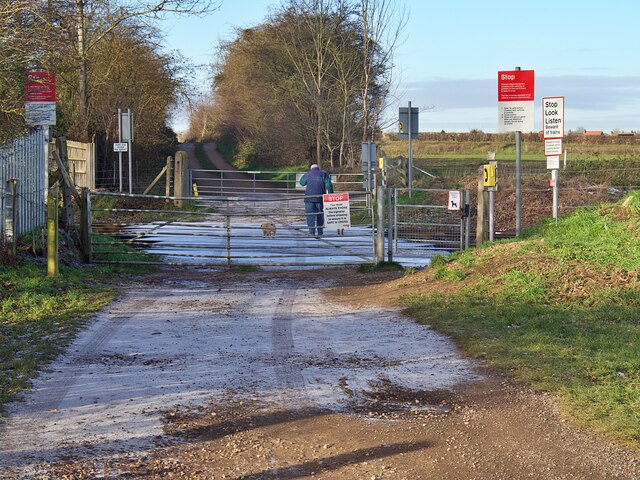
Barnby Dun railway station
Barnby Dun railway station was a small station on the South Yorkshire Railway's line between Doncaster and Thorne. It served the village of Barnby Dun...
Bramwith railway station (West Riding and Grimsby Railway)
Bramwith (WR&G) railway station, which was named Barnby Dun on opening, believed to be 1872, due to its close proximity to the village of that name, took...
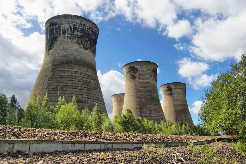
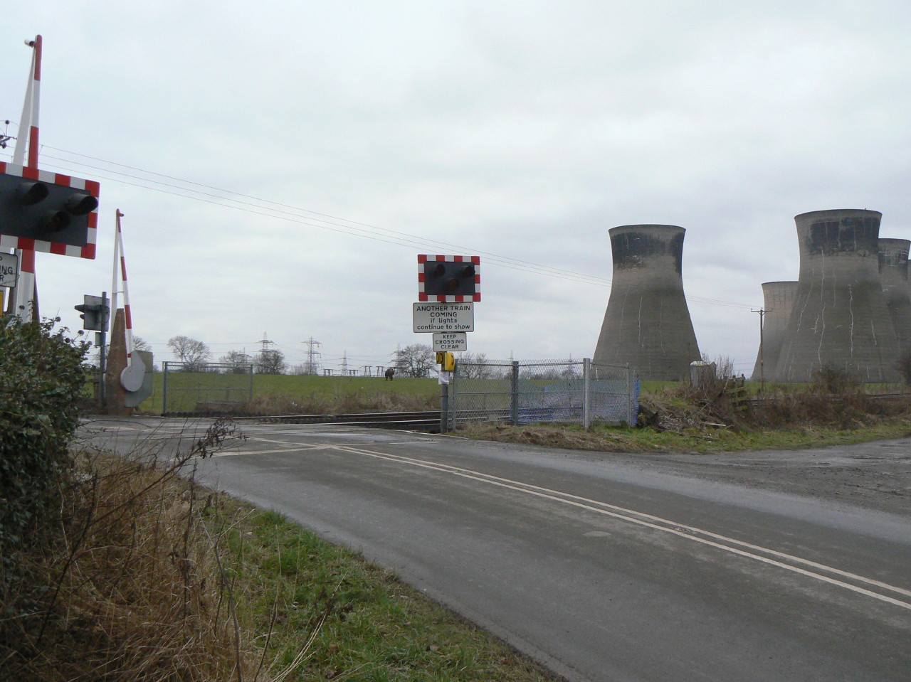
Thorpe Marsh Power Station
Thorpe Marsh Power Station was a 1 GW coal-fired power station near Barnby Dun in South Yorkshire, England. The station was commissioned in 1963 and closed...
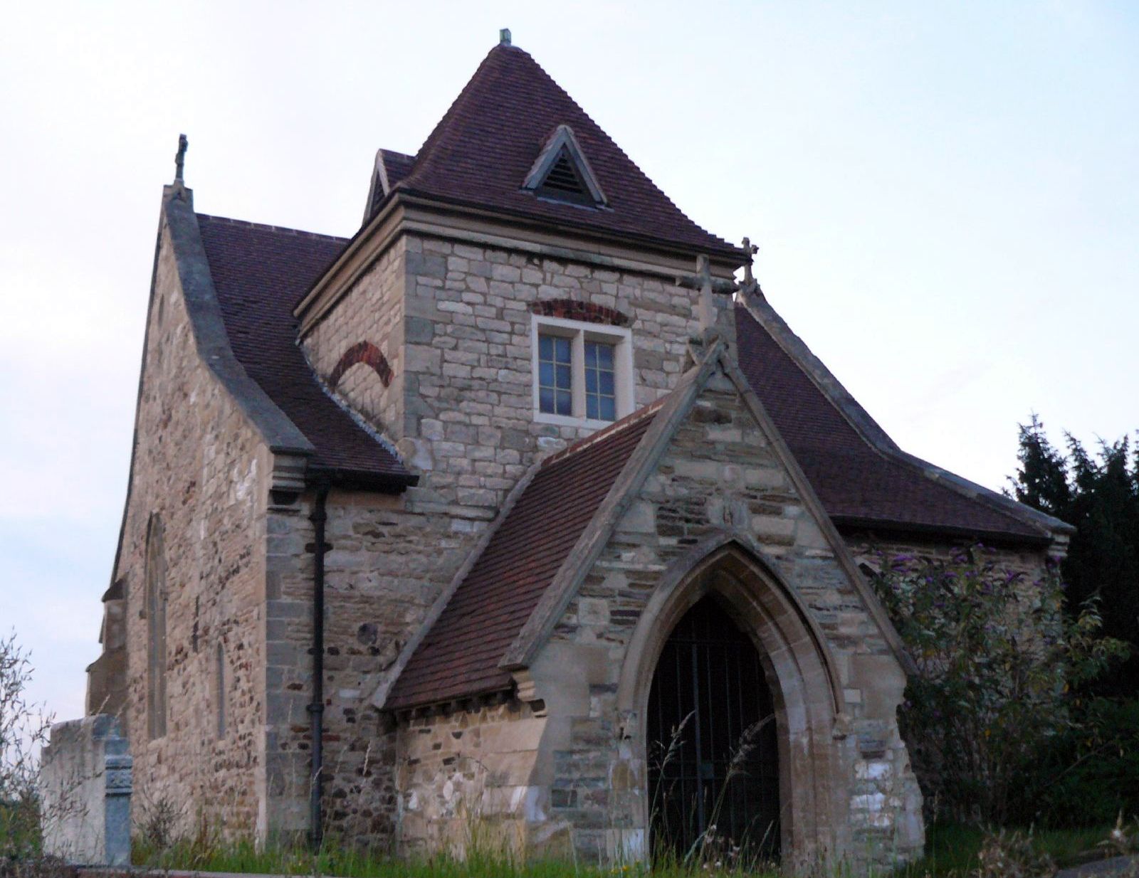
St Oswald's Church, Kirk Sandall
St Oswald's Church is a redundant Anglican church in Kirk Sandall, near Doncaster, South Yorkshire, England. It is recorded in the National Heritage List...

Sandall railway station
Sandall railway station served the suburb of Kirk Sandall, South Yorkshire, England, from 1857 to 1859 on the Doncaster to Thorne section of the South...
Nearby Amenities
Located within 500m of 53.576124,-1.067723Have you been to Barnby Dun with Kirk Sandall?
Leave your review of Barnby Dun with Kirk Sandall below (or comments, questions and feedback).