Barnby

Civil Parish in Yorkshire Scarborough

England

Barnby

Runswick Bay Beach The sand runs out towards the south-eastern end of the beach, giving way to flat rocks as the coastline heads round towards Kettle Ness.
Runswick Bay Beach Credit: Stephen McKay

Barnby is a civil parish located in the East Riding of Yorkshire, England. Situated approximately 5 miles east of the town of Driffield, Barnby covers an area of about 3.5 square miles. The parish is mostly rural, with a small population of around 200 residents.

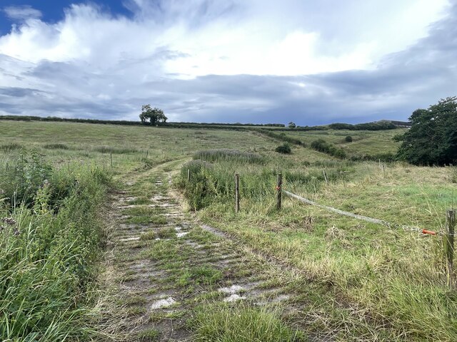
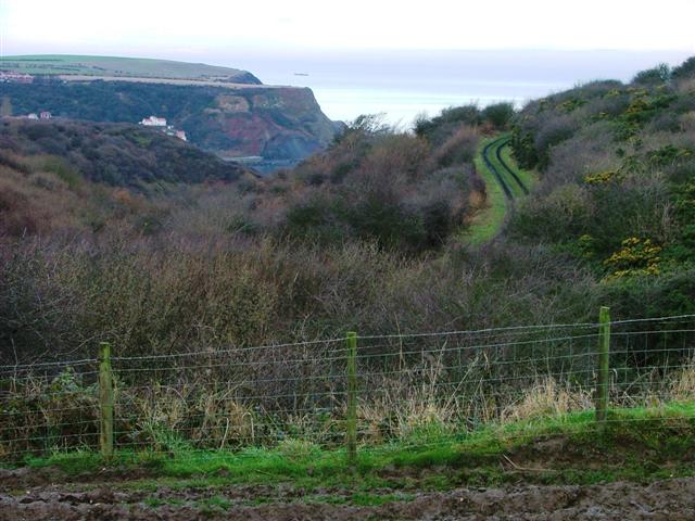
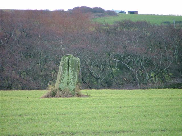
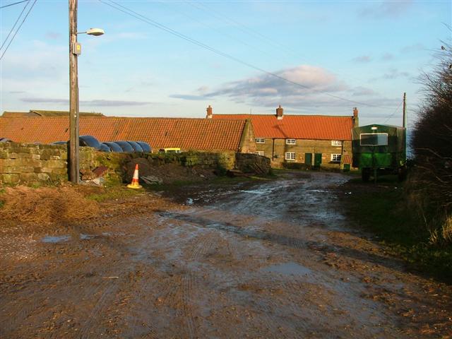
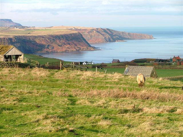
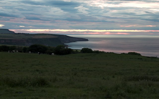
Barnby is characterized by its picturesque countryside, which includes rolling hills, meadows, and farmland. The village itself is small and charming, with a few residential properties, a village hall, and a church. St. John the Baptist Church, dating back to the 12th century, is a notable historic landmark in the area.

The parish is surrounded by other rural communities, with Kilham and Wold Newton being the closest neighboring villages. The nearby Garton on the Wolds provides additional amenities such as shops and schools. The larger town of Driffield offers a wider range of services and facilities, including supermarkets, restaurants, and leisure activities.

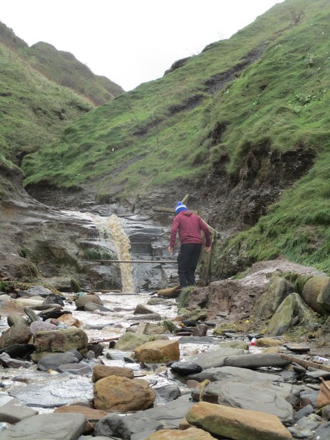
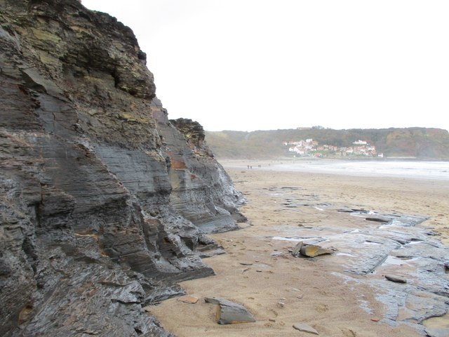
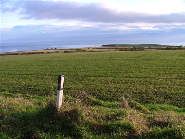
The area is well-suited for outdoor enthusiasts, with numerous walking and cycling routes available in the vicinity. Additionally, Barnby is located within easy reach of the East Yorkshire coast, allowing residents and visitors to enjoy the seaside attractions and beautiful beaches.

Overall, Barnby offers a peaceful and idyllic setting for those seeking a rural lifestyle, with easy access to nearby towns for everyday necessities. Its scenic surroundings and historic landmarks contribute to its appeal as a desirable place to live or visit.

If you have any feedback on the listing, please let us know in the comments section below.
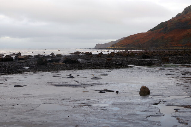
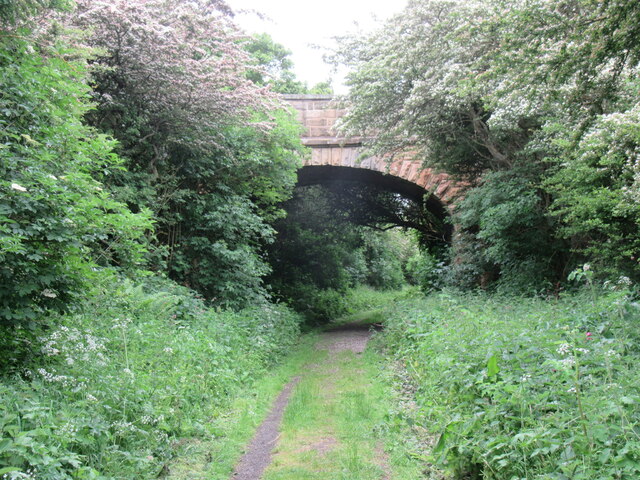
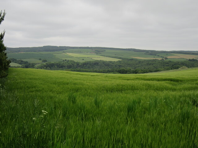
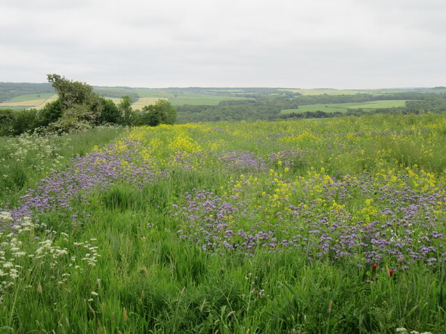
Barnby Images

Images are sourced within 2km of 54.511229/-0.731559 or Grid Reference NZ8213. Thanks to Geograph Open Source API. All images are credited.

Runswick Bay Beach The sand runs out towards the south-eastern end of the beach, giving way to flat rocks as the coastline heads round towards Kettle Ness.
Runswick Bay Beach
The sand runs out towards the south-eastern end of the beach, giving way to flat rocks as the coastline heads round towards Kettle Ness.
North Yorkshire farmland Harvested fields to the sea side
North Yorkshire farmland
Harvested fields to the sea side
Harvested field near Lythe
Near Ellerby Looking north.
Near Ellerby
Looking north.
Dismantled railway line near Kettleness Looking towards Runswick Bay.
Dismantled railway line near Kettleness
Looking towards Runswick Bay.
Near Cow Pasture Plantation Looking SW.
Near Cow Pasture Plantation
Looking SW.
Near East Barnby Looking south.
Near East Barnby
Looking south.
Ford on the Scarhill Beck This byway ford is found on the Scarhill Beck below Ferndale Farm near West Barnby.
Ford on the Scarhill Beck
This byway ford is found on the Scarhill Beck below Ferndale Farm near West Barnby.
Claymore  Beck  emptying  onto  Runswick  Sands This is also the point where the Cleveland Way and English Coast Path leaves the beach and goes up the side of the beck then takes a cliff path to the left over to Kettleness
Claymore Beck emptying onto Runswick Sands
This is also the point where the Cleveland Way and English Coast Path leaves the beach and goes up the side of the beck then takes a cliff path to the left over to Kettleness
Cliff  face  and  Runswick  Sands Looking along the bay to the village of Runswick Bay
Cliff face and Runswick Sands
Looking along the bay to the village of Runswick Bay
Mickleby Tip Landfill site to the North West of Mickleby village. The area is mostly very scenic, but we all make rubbish!
Mickleby Tip
Landfill site to the North West of Mickleby village. The area is mostly very scenic, but we all make rubbish!
National Cycleway No.1 Utilising the dismantled railway which ran along the coast from Middlesbrough to Whitby.
National Cycleway No.1
Utilising the dismantled railway which ran along the coast from Middlesbrough to Whitby.
Dismantled Railway, Widgey Toft Widgey Toft is the area named on the 1:25000 OS map as just off to the left of the photo. The view is looking north with the white houses of Runswick Bay just poking above the wooded spur.
Dismantled Railway, Widgey Toft
Widgey Toft is the area named on the 1:25000 OS map as just off to the left of the photo. The view is looking north with the white houses of Runswick Bay just poking above the wooded spur.
Wade's Stone To quote from English Heritage's website: "A Bronze Age standing stone, originally one of two, the other no longer survives. It is roughly cut into rectangular shape which tapers slightly towards the top and leans a little to the north west. It is 1.5 metres high and 0.7 by 0.5 metres in section. On the south face the letters JS and ES have been inscribed. The monument is scheduled. There is another possible "Wades Stone" at NZ 81 SW 2." I believe this latter reference means NZ830130.
Wade's Stone
To quote from English Heritage's website: "A Bronze Age standing stone, originally one of two, the other no longer survives. It is roughly cut into rectangular shape which tapers slightly towards the top and leans a little to the north west. It is 1.5 metres high and 0.7 by 0.5 metres in section. On the south face the letters JS and ES have been inscribed. The monument is scheduled. There is another possible "Wades Stone" at NZ 81 SW 2." I believe this latter reference means NZ830130.
Goldsborough
Goldsborough
Fields East of Goldsborough View east from the road bend towards the cliffs along which runs the Cleveland Way footpath.
Fields East of Goldsborough
View east from the road bend towards the cliffs along which runs the Cleveland Way footpath.
Goldsborough Roman Signal Station Taken looking north west from the site of the Goldsborough Roman Signal Station. This was one of a series of stations built along the coast to provide early warning of Scottish or Saxon invaders. It is supposed that the next signal station would have been on the Boultby cliffs (far left) but it is supposed that any remains have been destroyed by the alum workings.
Goldsborough Roman Signal Station
Taken looking north west from the site of the Goldsborough Roman Signal Station. This was one of a series of stations built along the coast to provide early warning of Scottish or Saxon invaders. It is supposed that the next signal station would have been on the Boultby cliffs (far left) but it is supposed that any remains have been destroyed by the alum workings.
Coastline between Kettleness and Runswick Bay Late evening with lingering afterglow post Sunset
Coastline between Kettleness and Runswick Bay
Late evening with lingering afterglow post Sunset
Show me another place!

Barnby is located at Grid Ref: NZ8213 (Lat: 54.511229, Lng: -0.731559)

Division: North Riding

Administrative County: North Yorkshire

District: Scarborough

Police Authority: North Yorkshire

What 3 Words

///fabric.handed.polo. Near Sleights, North Yorkshire

Related Wikis

RAF Goldsborough

Royal Air Force Goldsborough or more simply RAF Goldsborough is a former Royal Air Force station located in North Yorkshire, England. == History == It...

Barnby, North Yorkshire

Barnby is a civil parish in the Scarborough district of North Yorkshire, England. According to the 2001 UK census, the parish had a population of 79....

Goldsborough, Scarborough

Goldsborough is a small hamlet in the civil parish of Lythe, North Yorkshire, England within the North York Moors National Park. It is situated a few miles...

Hob Holes

The Hob Holes are caves in the cliffs of Runswick Bay, Scarborough, England which resulted from mining for jet – fossilised wood which is valuable as a...

Mickleby

Mickleby is a village and civil parish in the Scarborough district of North Yorkshire, England. According to the 2011 UK census, Mickleby parish had a...

Kettleness railway station

Kettleness was a railway station on the Whitby, Redcar and Middlesbrough Union Railway from 1883 to 1958 serving the remote village of Kettleness. The...

Kettleness

Kettleness, is a hamlet in the Scarborough District of North Yorkshire, England. The settlement only consists of half-a-dozen houses, but up until the...
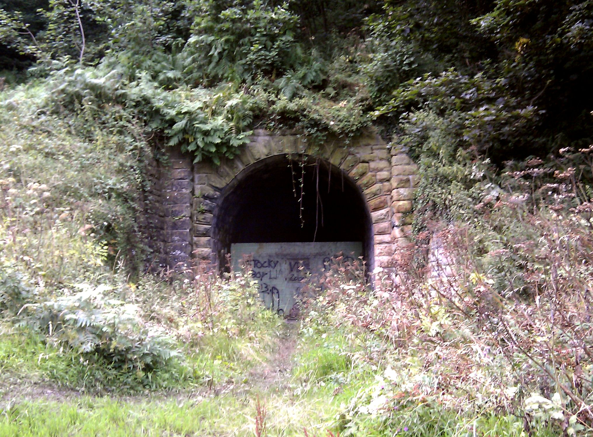
Sandsend Tunnel

Sandsend Tunnel is a tunnel on the former Whitby, Redcar and Middlesbrough Union Railway that was opened in 1883 and closed in 1958. The rail line that...

Nearby Amenities

Located within 500m of 54.511229,-0.731559
Power: pole
Source: Bing
Lat/Long: 54.5146212/-0.7321727
Power: pole
Source: Bing
Lat/Long: 54.5146438/-0.7315601
Power: pole
Source: Bing
Lat/Long: 54.5146946/-0.7301789
Power: pole
Source: Bing
Lat/Long: 54.5147164/-0.7325363
Power: pole
Source: Bing
Lat/Long: 54.5147451/-0.7288091
Power: pole
Source: Bing
Lat/Long: 54.514785/-0.7336148
Power: pole
Source: Bing
Lat/Long: 54.51488/-0.7351105
The data included in this document is from www.openstreetmap.org. The data is made available under ODbL.

Have you been to Barnby?

Leave your review of Barnby below (or comments, questions and feedback).