Barnburgh
Civil Parish in Yorkshire Doncaster
England
Barnburgh
Barnburgh is a civil parish located in the metropolitan borough of Doncaster, South Yorkshire, England. It is situated about 8 miles northeast of the town of Rotherham and 10 miles southwest of Doncaster. The village is surrounded by beautiful countryside and farmland, offering a picturesque rural setting.
Barnburgh has a long history, dating back to the Domesday Book in 1086. The village grew around the historic Barnburgh Hall, a Grade II listed building that served as a manor house. Today, the hall is privately owned and not open to the public, but its presence adds character and charm to the area.
The parish of Barnburgh covers an area of approximately 1,100 acres and has a population of around 1,500 people. It is a close-knit community with a strong sense of local pride. The village has a primary school, a church, and a village hall that serves as a hub for social activities and events.
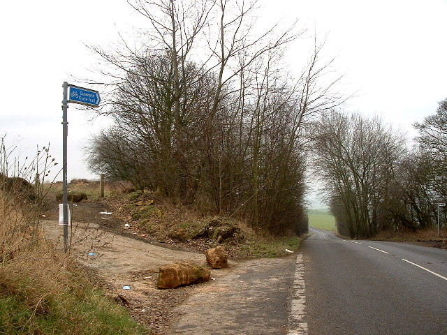
Despite its rural location, Barnburgh has good transport links, with the A635 road passing through the village, connecting it to nearby towns and cities. The village is also served by regular bus services, providing easy access to surrounding areas.
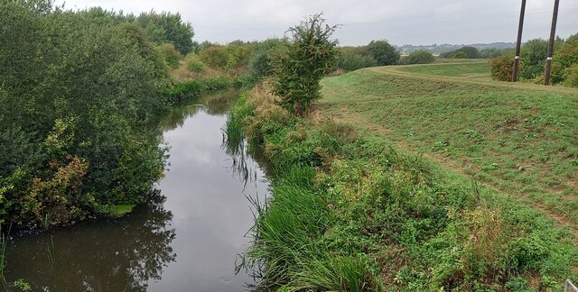
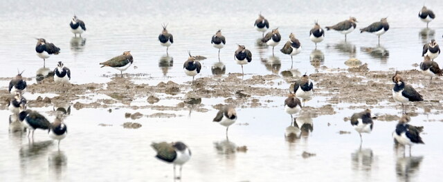
For those who enjoy outdoor activities, Barnburgh offers plenty of opportunities for walking, cycling, and exploring the surrounding countryside. The area is also known for its rich wildlife, with several nature reserves nearby.
Overall, Barnburgh is a peaceful and idyllic village, perfect for those seeking a quiet rural retreat while still being within easy reach of urban amenities.
If you have any feedback on the listing, please let us know in the comments section below.
Barnburgh Images
Images are sourced within 2km of 53.521558/-1.265792 or Grid Reference SE4803. Thanks to Geograph Open Source API. All images are credited.


Barnburgh is located at Grid Ref: SE4803 (Lat: 53.521558, Lng: -1.265792)
Division: West Riding
Administrative County: South Yorkshire
District: Doncaster
Police Authority: South Yorkshire
What 3 Words
///computers.gasping.storm. Near Barnburgh, South Yorkshire
Related Wikis

Barnburgh
Barnburgh is a village and civil parish in the City of Doncaster in South Yorkshire, England. The village is adjacent to the village of Harlington - the...
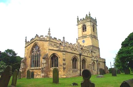
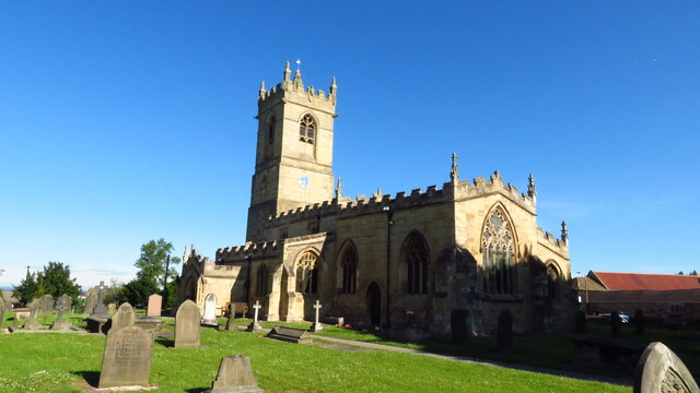
St Peter's Church, Barnburgh
St Peter's Church, Barnburgh is a parish church of the Church of England situated at the centre of the village of Barnburgh, near Doncaster in South Yorkshire...

Harlington Halt railway station
Harlington Halt was a small railway station on the Dearne Valley Railway (DVR) located close by Harlington village, near Mexborough, South Yorkshire, England...
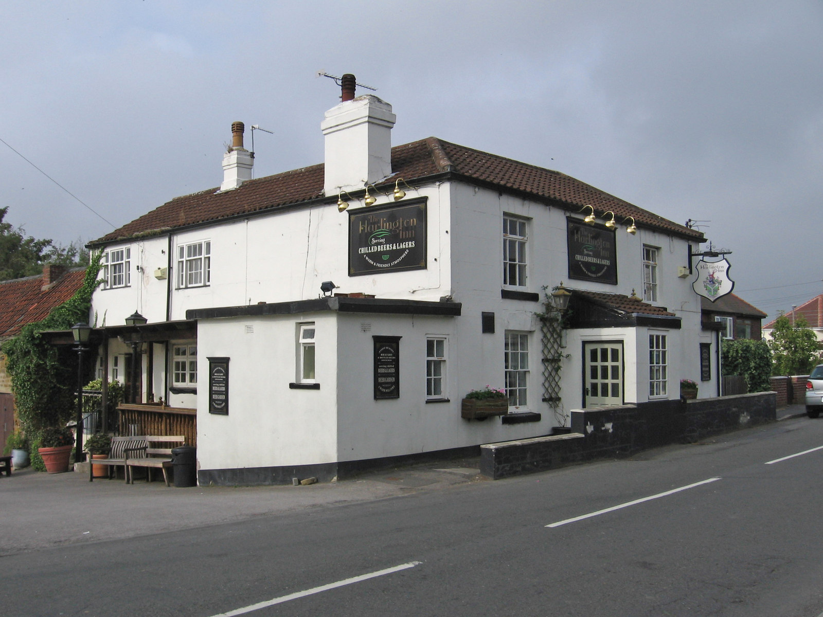
Harlington, South Yorkshire
Harlington is a village in the civil parish of Barnburgh in the City of Doncaster in South Yorkshire, England. The village lies less than a mile from the...
Barnburgh Main Colliery
Barnburgh Main Colliery was a coal mine situated on the outskirts of the village of Barnburgh, about two miles north of Mexborough in the Dearne Valley...

Hickleton Hall
Hickleton Hall is a Grade II* listed Georgian stately home in Hickleton, South Yorkshire, England, about 6 miles (10 km) west of Doncaster. For more than...

St Wilfrid's Church, Hickleton
St Wilfrid's Church, Hickleton, is a parish church of the Church of England in Hickleton, near Doncaster in South Yorkshire. == Location and history... ==

High Melton
High Melton is a village and civil parish in the City of Doncaster in South Yorkshire, England. It had a population of 339 in 2001, reducing to 300 at...
Nearby Amenities
Located within 500m of 53.521558,-1.265792Have you been to Barnburgh?
Leave your review of Barnburgh below (or comments, questions and feedback).