Barlow
Civil Parish in Yorkshire Selby
England
Barlow

Barlow is a small civil parish located in the county of Yorkshire, England. Situated in the Ryedale district, it covers an area of approximately 5 square kilometers and has a population of around 200 residents. The parish is set in a rural landscape, surrounded by picturesque countryside and rolling hills.
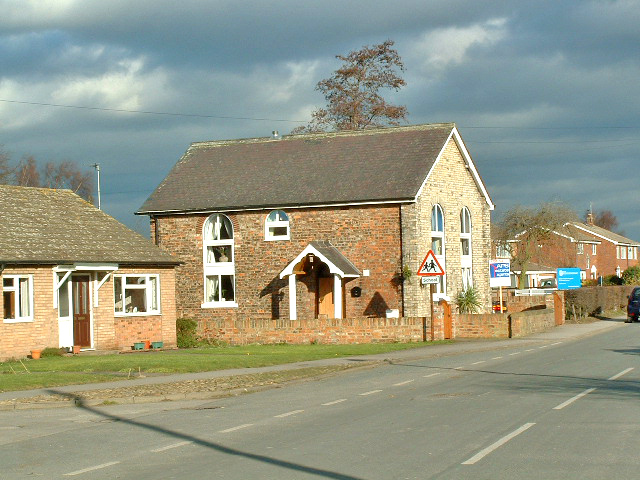
Barlow is characterized by its charming and peaceful atmosphere, making it an ideal place for those seeking a tranquil lifestyle away from the hustle and bustle of larger towns and cities. The parish is made up of a cluster of traditional stone-built houses, some of which date back several centuries, adding to its historical charm.
The local economy in Barlow is primarily centered around agriculture, with farming being the main occupation for many of its residents. The parish is home to a number of well-maintained farms that cultivate crops and rear livestock, contributing to the region's agricultural heritage.
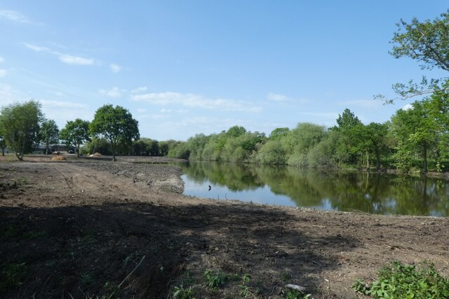
For outdoor enthusiasts, Barlow offers a range of recreational activities. The surrounding countryside provides ample opportunities for walking, hiking, and cycling, allowing residents and visitors to explore the scenic landscapes and enjoy the fresh air. Additionally, there are several public footpaths and bridleways that crisscross the parish, providing access to the wider countryside.
Although Barlow is a small parish, it benefits from its proximity to nearby towns, such as Malton and Pickering, where residents can access a wider range of amenities, including shops, schools, and healthcare facilities.
If you have any feedback on the listing, please let us know in the comments section below.
Barlow Images
Images are sourced within 2km of 53.751983/-1.027465 or Grid Reference SE6428. Thanks to Geograph Open Source API. All images are credited.


Barlow is located at Grid Ref: SE6428 (Lat: 53.751983, Lng: -1.027465)
Division: West Riding
Administrative County: North Yorkshire
District: Selby
Police Authority: North Yorkshire
What 3 Words
///bulbs.verve.flicked. Near Camblesforth, North Yorkshire
Nearby Locations
Related Wikis
Barlow, North Yorkshire
Barlow is a small village and civil parish located in the Selby District of North Yorkshire, England, about 16 miles south of York. In the 2011 census...
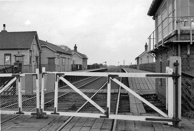
Barlow railway station
Barlow railway station was a railway station that served the village of Barlow in North Yorkshire, England from 1912 to 1964 via the Selby to Goole line...

Camblesforth
Camblesforth is a village and civil parish in the Selby District of North Yorkshire, England. According to the 2001 Census the civil parish had a population...

Drax Priory
Drax Priory was an Augustinian priory at Drax in North Yorkshire, England, founded between 1130 and 1139 by William Paynel. The Priory has sometimes been...
White Rose Project
The White Rose Carbon Capture and Storage project was a proposed oxy-fuel coal-fired power plant near the Drax power station in North Yorkshire, United...
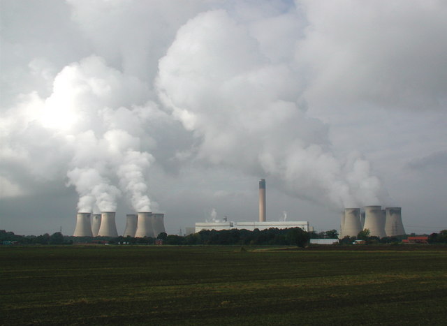
Drax Power Station
Drax power station is a large biomass power station in Drax, North Yorkshire, England, capable of co-firing petroleum coke. It has a 2.6 GW capacity for...

River Ouse swing bridge
The River Ouse swing bridge is a road bridge over the River Ouse in North Yorkshire, England. It was opened in 2004 when the A63 road bypassed the town...
Selby College
Selby College is a tertiary college, offering A Level courses through its Sixth Form Academy, work-related vocational courses, apprenticeships, business...
Nearby Amenities
Located within 500m of 53.751983,-1.027465Have you been to Barlow?
Leave your review of Barlow below (or comments, questions and feedback).