Barlow
Settlement in Yorkshire Selby
England
Barlow

Barlow is a small village located in North Yorkshire, England. Situated in the Ryedale district, it lies approximately 5 miles east of the market town of Malton. With a population of around 200 residents, Barlow is a close-knit community that exudes a charming countryside ambiance.
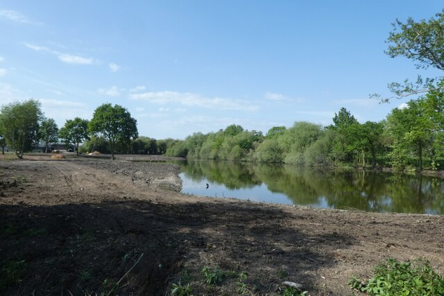
Surrounded by picturesque landscapes, Barlow boasts stunning views of the rolling hills and lush green fields that define the Yorkshire countryside. The village is known for its tranquil atmosphere, making it a popular destination for those seeking a peaceful retreat away from the hustle and bustle of city life.
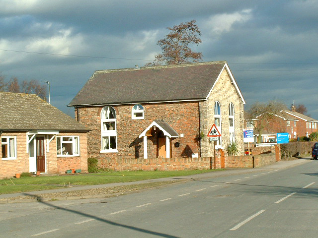
Historically, Barlow has roots dating back to the medieval period, as evidenced by the presence of St. Wilfrid's Church, a beautiful place of worship that dates back to the 12th century. The church stands as a testament to the village's rich history and architectural heritage.
Although small in size, Barlow offers a range of amenities for its residents. These include a village hall, a local pub, and a primary school, which serves the surrounding area. Additionally, the village is well-connected to nearby towns and cities, with regular bus services available.
The countryside surrounding Barlow provides ample opportunities for outdoor activities, such as hiking, cycling, and horse riding. The village's proximity to the North York Moors National Park also offers residents and visitors the chance to explore the stunning natural beauty of the area.
In summary, Barlow is a charming village nestled in the idyllic Yorkshire countryside, offering a tranquil retreat and a close-knit community for its residents.
If you have any feedback on the listing, please let us know in the comments section below.
Barlow Images
Images are sourced within 2km of 53.751462/-1.0235503 or Grid Reference SE6428. Thanks to Geograph Open Source API. All images are credited.


Barlow is located at Grid Ref: SE6428 (Lat: 53.751462, Lng: -1.0235503)
Division: West Riding
Administrative County: North Yorkshire
District: Selby
Police Authority: North Yorkshire
What 3 Words
///profile.graced.withdraws. Near Camblesforth, North Yorkshire
Nearby Locations
Related Wikis
Barlow, North Yorkshire
Barlow is a small village and civil parish located in the Selby District of North Yorkshire, England, about 16 miles south of York. In the 2011 census...
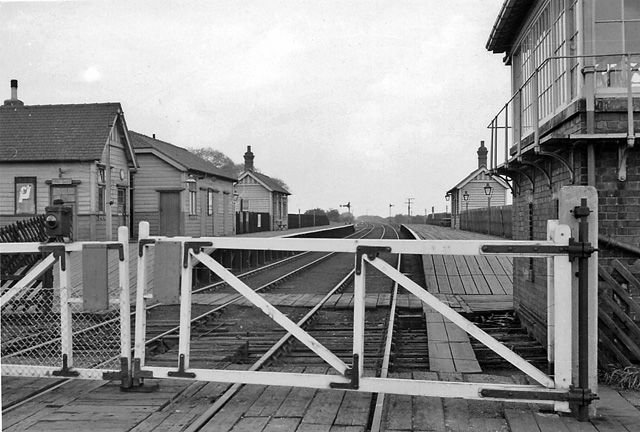
Barlow railway station
Barlow railway station was a railway station that served the village of Barlow in North Yorkshire, England from 1912 to 1964 via the Selby to Goole line...

Drax Priory
Drax Priory was an Augustinian priory at Drax in North Yorkshire, England, founded between 1130 and 1139 by William Paynel. The Priory has sometimes been...
White Rose Project
The White Rose Carbon Capture and Storage project was a proposed oxy-fuel coal-fired power plant near the Drax power station in North Yorkshire, United...

Camblesforth
Camblesforth is a village and civil parish in the Selby District of North Yorkshire, England. According to the 2001 Census the civil parish had a population...

Drax Power Station
Drax power station is a large biomass power station in Drax, North Yorkshire, England, capable of co-firing petroleum coke. It has a 2.6 GW capacity for...

River Ouse swing bridge
The River Ouse swing bridge is a road bridge over the River Ouse in North Yorkshire, England. It was opened in 2004 when the A63 road bypassed the town...

Hemingbrough
Hemingbrough is a small village and civil parish in North Yorkshire, England that is located approximately 5 miles (8 km) from Selby and 4 miles (6.4 km...
Related Videos

2020 Drax power station 1st out of the year
1st time out this year not a bad little find https://www.leedsda.org/ https://www.drax.com/ http://www.draxsandsclub.co.uk/ ...

BARLOW: Selby Parish #38 of 74
In recent times, this village could best be described as a dormitory village for commuters to Selby, York and Leeds. Before the 19th ...
Nearby Amenities
Located within 500m of 53.751462,-1.0235503Have you been to Barlow?
Leave your review of Barlow below (or comments, questions and feedback).