Barlow

Settlement in Derbyshire North East Derbyshire

England

Barlow

A61. View from the footbridge.
A61. Credit: steven ruffles

Barlow is a small village located in the county of Derbyshire, England. Situated in the eastern foothills of the Peak District National Park, it is nestled within a picturesque rural landscape. With a population of around 1,000 residents, Barlow maintains a close-knit community atmosphere.

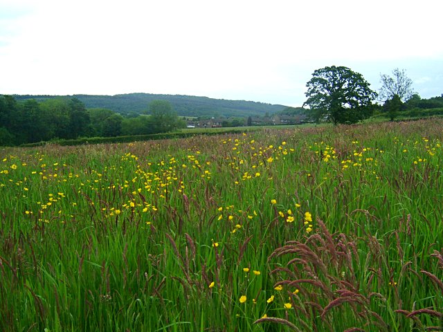
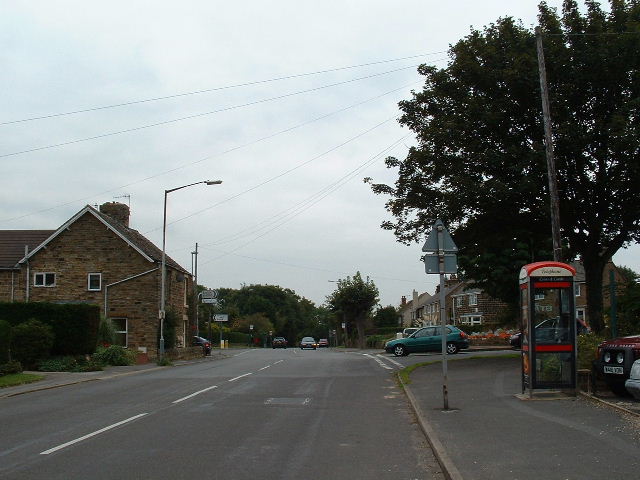
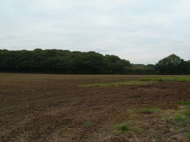
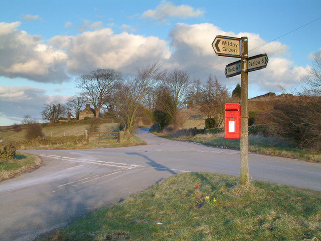
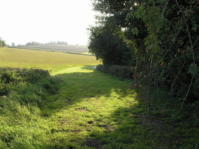
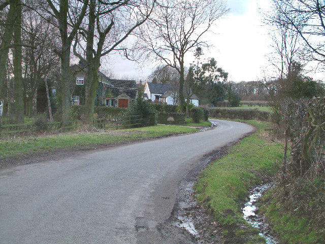
The village is known for its charming stone-built houses and traditional architecture, which contribute to its timeless appeal. The surrounding countryside offers breathtaking views, making it a popular destination for nature lovers and outdoor enthusiasts. Barlow is surrounded by rolling hills, meandering streams, and lush green fields, providing ample opportunities for walking, hiking, and cycling.

Barlow has a rich history, with evidence of human activity dating back to the Bronze Age. It is home to several historical landmarks, including Barlow Church, a Grade II listed building known for its impressive stained glass windows and architectural beauty. The village also boasts a variety of quaint shops, cafes, and pubs, where locals and visitors can enjoy a taste of traditional British hospitality.

Despite its rural setting, Barlow benefits from good transport links, with nearby access to major roads and public transport services. This allows residents to easily connect to larger towns and cities in the area, such as Chesterfield and Sheffield, which offer a wider range of amenities and employment opportunities.

Overall, Barlow offers a tranquil and idyllic setting, combining natural beauty with a strong sense of community. It is a place where residents can enjoy a peaceful countryside lifestyle while still being within reach of modern conveniences.

If you have any feedback on the listing, please let us know in the comments section below.
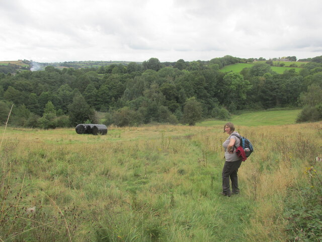
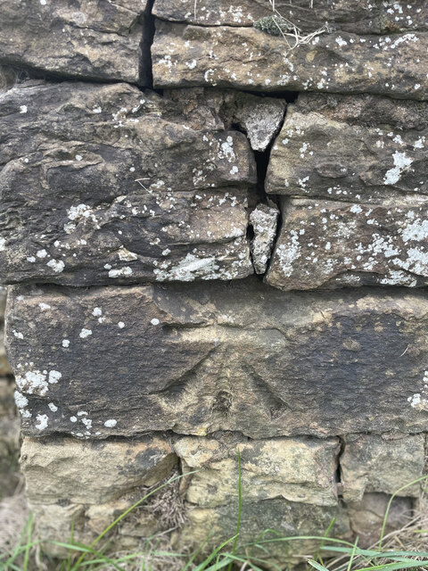
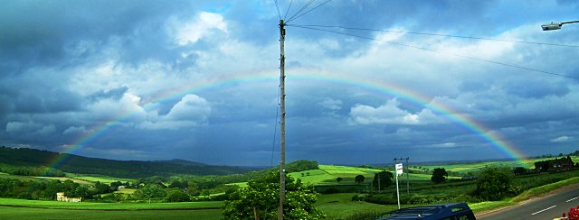
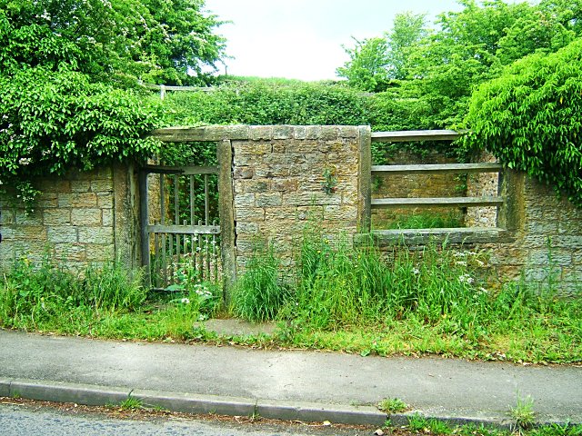
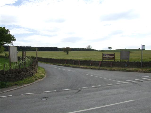
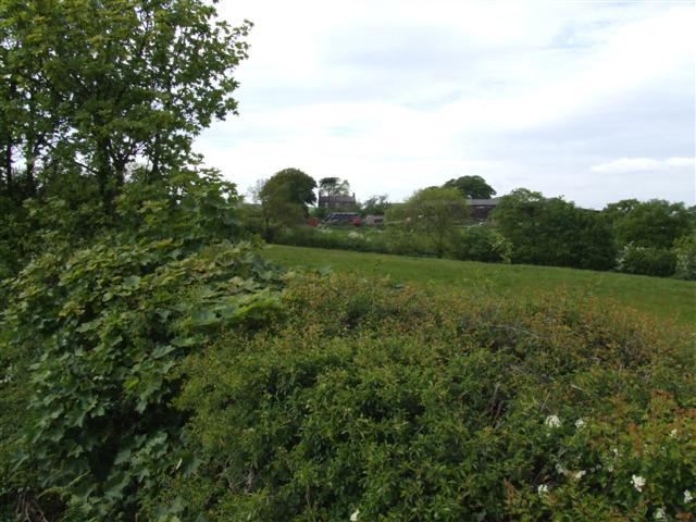
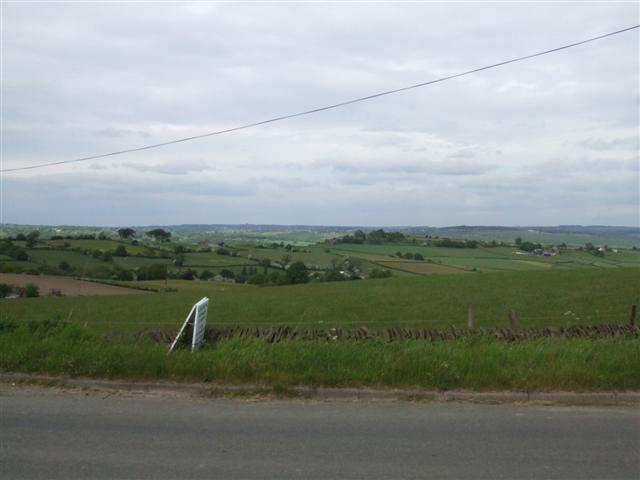
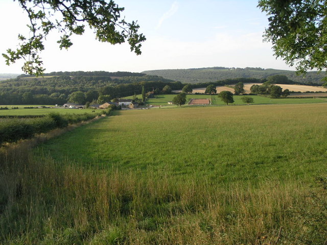
Barlow Images

Images are sourced within 2km of 53.267557/-1.4844158 or Grid Reference SK3474. Thanks to Geograph Open Source API. All images are credited.

A61. View from the footbridge.
A61.
View from the footbridge.
Footpath from Lees Common Downhill.
Footpath from Lees Common
Downhill.
Brampton, Woodnook Lane BM on roadside wall

Sk33427300
Brampton, Woodnook Lane
BM on roadside wall Sk33427300
View of Barlow Brook valley from Rutland Terrace Lots of grass and woodland
View of Barlow Brook valley from Rutland Terrace
Lots of grass and woodland
Barlow Pinfold Also known as Wilkin Hill Pinfold, this pinfold is a Grade II Listed Building (<span class="nowrap"><a title="http://www.britishlistedbuildings.co.uk/en-79497-wilkin-hill-pinfold-barlow-derbyshire" rel="nofollow ugc noopener" href="http://www.britishlistedbuildings.co.uk/en-79497-wilkin-hill-pinfold-barlow-derbyshire">Link</a><img style="margin-left:2px;" alt="External link" title="External link - shift click to open in new window" src="https://s1.geograph.org.uk/img/external.png" width="10" height="10"/></span> ).  It was owned by the Duke of Rutland until the 1890s, when it was gifted to the parish council.  It was restored to its present condition in 1985.

The word 'Barlow' was removed from the lintel during World War II, when road signs in much of Britain were removed in case of invasion.

Pinfolds were used to impound animals that were found straying, and a fee was charged for their release.
Barlow Pinfold
Also known as Wilkin Hill Pinfold, this pinfold is a Grade II Listed Building (LinkExternal link ). It was owned by the Duke of Rutland until the 1890s, when it was gifted to the parish council. It was restored to its present condition in 1985. The word 'Barlow' was removed from the lintel during World War II, when road signs in much of Britain were removed in case of invasion. Pinfolds were used to impound animals that were found straying, and a fee was charged for their release.
Meadow near Wilday Green
Meadow near Crowhole Brook
Upper Newbold Looking SE across the B6050/B6051 crossroads.
Upper Newbold
Looking SE across the B6050/B6051 crossroads.
Fields near Bradley lane farm
Trading Estate Built into Cobnar Wood this is the western end of Chesterfield Trading Estate.  <a href="https://www.geograph.org.uk/gridref/SK3675">SK3675</a>
Trading Estate
Built into Cobnar Wood this is the western end of Chesterfield Trading Estate. SK3675
Trading Estate Chesterfield Trading Estate accounts for half of this grid square.  The hills in the distance lie just south of Dronfield with the A61 climbing up from Chesterfield.  <a href="https://www.geograph.org.uk/gridref/SK3575">SK3575</a>
Trading Estate
Chesterfield Trading Estate accounts for half of this grid square. The hills in the distance lie just south of Dronfield with the A61 climbing up from Chesterfield. SK3575
Near Bolehill. Picture shows road sign and letter box at crossroads  near to Bolehill.
Near Bolehill.
Picture shows road sign and letter box at crossroads near to Bolehill.
The Methodist Church, Cutthorpe A pleasant small village.
The Methodist Church, Cutthorpe
A pleasant small village.
Road leading to Linacre reservoirs from the B6050
Farmland near Cutthorpe
View over open farmland from the B6050 near Moorhall The white thing at the front is an advertising board for the Gate Inn pub, just to the left of the picture.
View over open farmland from the B6050 near Moorhall
The white thing at the front is an advertising board for the Gate Inn pub, just to the left of the picture.
Dunston Hole Situated on the eastern edge of this square is Dunston Hole Farm.  The A61 road to Sheffield passes through the trees on the horizon.
Dunston Hole
Situated on the eastern edge of this square is Dunston Hole Farm. The A61 road to Sheffield passes through the trees on the horizon.
Path to Barlow This footpath passes by Dunston Hole Farm in the next square west on its way to nearby Barlow.
Path to Barlow
This footpath passes by Dunston Hole Farm in the next square west on its way to nearby Barlow.
Show me another place!

Barlow is located at Grid Ref: SK3474 (Lat: 53.267557, Lng: -1.4844158)

Administrative County: Derbyshire

District: North East Derbyshire

Police Authority: Derbyshire

What 3 Words

///skirting.ordering.clattered. Near Dronfield, Derbyshire

Nearby Locations

Barlow

Related Wikis

Nearby Amenities

Located within 500m of 53.267557,-1.4844158
Barlow
Is In: Derbyshire, England, UK
Place: village
Wikidata: Q1897929
Wikipedia: en:Barlow, Derbyshire
Lat/Long: 53.2690905/-1.4853497
Barrier: stile
Lat/Long: 53.2688486/-1.4889821
Barrier: stile
Lat/Long: 53.2689102/-1.4890507
Engine Hollow
Place: locality
Lat/Long: 53.2637238/-1.4810875
Barrier: stile
Stile: wall
Lat/Long: 53.2656212/-1.4911958
Information: board
Tourism: information
Lat/Long: 53.2657928/-1.488307
Barrier: stile
Steps: 3
Stile: wall
Lat/Long: 53.2658982/-1.4877602
Barrier: stile
Steps: 3
Stile: wall
Lat/Long: 53.2679155/-1.4871225
Barrier: stile
Steps: 3
Stile: wall
Lat/Long: 53.2677064/-1.4855648
Bus Stop
Bus: yes
Naptan AtcoCode: 1000DBHS7650
Naptan NaptanCode: dbsgwmjp
Public Transport: platform
Lat/Long: 53.269825/-1.4852601
Barrier: stile
Lat/Long: 53.2649579/-1.4879534
Shop: potato
Lat/Long: 53.26911/-1.4847789
Bus Stop
Bus: yes
Public Transport: platform
Lat/Long: 53.2681623/-1.4847588
Barrier: stile
Steps: 1
Stile: stepover
Lat/Long: 53.2671048/-1.4777693
Barrier: stile
Steps: 1
Stile: stepover
Lat/Long: 53.2635679/-1.4832574
Barrier: stile
Steps: 3
Stile: wall
Lat/Long: 53.2654247/-1.4877501
Information: route_marker
Tourism: information
Lat/Long: 53.2681905/-1.4889239
Information: route_marker
Tourism: information
Lat/Long: 53.2667074/-1.4888769
Information: route_marker
Tourism: information
Lat/Long: 53.2675231/-1.488696
Information: route_marker
Tourism: information
Lat/Long: 53.2677542/-1.4887362
Information: route_marker
Tourism: information
Lat/Long: 53.2658468/-1.4874085
Information: route_marker
Tourism: information
Lat/Long: 53.2658644/-1.4873683
Generator Method: photovoltaic
Generator Output Electricity: yes
Generator Source: solar
Generator Type: solar_photovoltaic_panel
Location: roof
Power: generator
Lat/Long: 53.2695511/-1.4869397
Defibrillator
Access: yes
Check Date: 2023-03-09
Defibrillator Location: On outside wall.
Emergency: defibrillator
Indoor: no
Opening Hours: 24/7
Lat/Long: 53.2708962/-1.4874284
Entrance: yes
Lat/Long: 53.2708872/-1.487425
Man Made: water_well
Pump: manual
Lat/Long: 53.2676057/-1.4843202
Barrier: entrance
Lat/Long: 53.2680804/-1.4854827
Bus Stop
Bus: yes
Public Transport: platform
Lat/Long: 53.2705275/-1.4854762
Post Box
Collection Times: Mo-Fr 16:00; Sa 10:00
Post Box Type: wall
Ref: S18 541
Royal Cypher: EIIR
Royal Cypher Wikidata: Q33102113
Lat/Long: 53.2681862/-1.4846227
Leisure: picnic_table
Material: wood
Lat/Long: 53.267762/-1.484671
Leisure: picnic_table
Material: wood
Lat/Long: 53.267748/-1.4846605
Leisure: picnic_table
Material: wood
Lat/Long: 53.2677334/-1.4846529
Bench
Material: wood
Lat/Long: 53.2676728/-1.4846307
Man Made: utility_pole
Material: wood
Utility: telecom
Lat/Long: 53.2669351/-1.4854491
Street Lamp
Lamp Type: electric
Ref: 3146
Lat/Long: 53.2668177/-1.4856621
Man Made: utility_pole
Material: wood
Utility: telecom
Lat/Long: 53.2668842/-1.4857449
Advertising: board
Operator: Barlow Parish Council
Lat/Long: 53.2679447/-1.4847319
Street Lamp
Direction: 70
Lamp Type: electric
Ref: 2*91
Lat/Long: 53.2679265/-1.484725
Street Lamp
Direction: 40
Lamp Mount: bent_mast
Lamp Type: electric
Lat/Long: 53.2713452/-1.4880012
Street Lamp
Direction: 30
Lamp Mount: bent_mast
Lamp Type: electric
Ref: 131614
Lat/Long: 53.2711811/-1.4876634
Street Lamp
Direction: 30
Lamp Mount: bent_mast
Lamp Type: electric
Ref: 3109
Lat/Long: 53.2710224/-1.4872852
Colour: BROWN
Man Made: utility_pole
Material: wood
Utility: telecom
Lat/Long: 53.271104/-1.4871422
Colour: BROWN
Man Made: utility_pole
Material: wood
Utility: telecom
Lat/Long: 53.2708736/-1.4865853
Street Lamp
Direction: 25
Lamp Mount: bent_mast
Lamp Type: electric
Ref: 81903
Lat/Long: 53.2707636/-1.4866022
Street Lamp
Direction: 20
Lamp Mount: bent_mast
Lamp Type: electric
Ref: 3144
Lat/Long: 53.2705566/-1.4859505
Waste Basket
Colour: ORANGE
Material: plastic
Lat/Long: 53.2705256/-1.4854775
Bench
Colour: BROWN
Material: wood
Seats: 2
Lat/Long: 53.2705302/-1.4854332
Street Lamp
Direction: 240
Lamp Mount: bent_mast
Lamp Type: electric
Lat/Long: 53.2703402/-1.4851692
Colour: BROWN
Man Made: utility_pole
Material: wood
Ref: DP55
Utility: telecom
Lat/Long: 53.2705904/-1.4851699
Colour: BROWN
Man Made: utility_pole
Material: wood
Utility: telecom
Lat/Long: 53.2710709/-1.4852081
Street Lamp
Direction: 275
Lamp Mount: bent_mast
Lamp Type: electric
Lat/Long: 53.2699816/-1.4850902
Street Lamp
Direction: 90
Lamp Mount: bent_mast
Lamp Type: electric
Ref: 3008
Lat/Long: 53.2696237/-1.4852505
Street Lamp
Direction: 70
Lamp Mount: bent_mast
Lamp Type: electric
Ref: 308*
Lat/Long: 53.2691969/-1.4851734
Colour: BROWN
Man Made: utility_pole
Material: wood
Ref: DP21
Utility: telecom
Lat/Long: 53.2685419/-1.4847599
Street Lamp
Direction: 250
Lamp Mount: pole
Support: pole
Lat/Long: 53.2685438/-1.4847661
Waste Basket
Colour: BLACK
Material: plastic
Lat/Long: 53.2681662/-1.4847597
Bench
Colour: BROWN
Material: wood
Seats: 2
Lat/Long: 53.2709805/-1.4873884
Waste Basket
Colour: BLACK
Material: plastic
Lat/Long: 53.2709757/-1.4874278
Defibrillator
Access: yes
Defibrillator Location: On outside wall of café.
Emergency: defibrillator
Indoor: no
Lat/Long: 53.2676201/-1.4846265
The data included in this document is from www.openstreetmap.org. The data is made available under ODbL.

Have you been to Barlow?

Leave your review of Barlow below (or comments, questions and feedback).