Barlby with Osgodby
Civil Parish in Yorkshire Selby
England
Barlby with Osgodby

Barlby with Osgodby is a civil parish situated in the Selby district of North Yorkshire, England. The parish is located approximately 2 miles south-west of Selby town and covers an area of around 4 square miles. It is bordered by the River Ouse to the west and the A19 road to the east.
The parish is made up of two villages, Barlby and Osgodby, which are often referred to collectively due to their close proximity and shared facilities. Barlby is the larger of the two villages and has a population of around 6,000 residents, while Osgodby is a smaller, predominantly residential area.
Barlby with Osgodby has a rich history, with evidence of human settlement in the area dating back to the Roman times. The villages were primarily agricultural communities until the 20th century when industrial development began, leading to the growth of the local population.
The area offers a range of amenities and facilities for residents, including a primary school, a library, a community center, and several shops and pubs. There are also various recreational areas and green spaces, including Barlby Park and the nearby Selby Golf Club.
Transport links in Barlby with Osgodby are well-developed, with regular bus services connecting the villages to Selby and other nearby towns. The A19 road provides easy access to the wider road network, including the A64 and A1(M), making it convenient for commuters and visitors to travel to and from the area.
Overall, Barlby with Osgodby is a vibrant and thriving civil parish that offers a mix of rural charm and modern amenities for its residents.
If you have any feedback on the listing, please let us know in the comments section below.
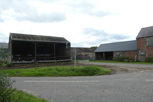
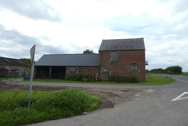
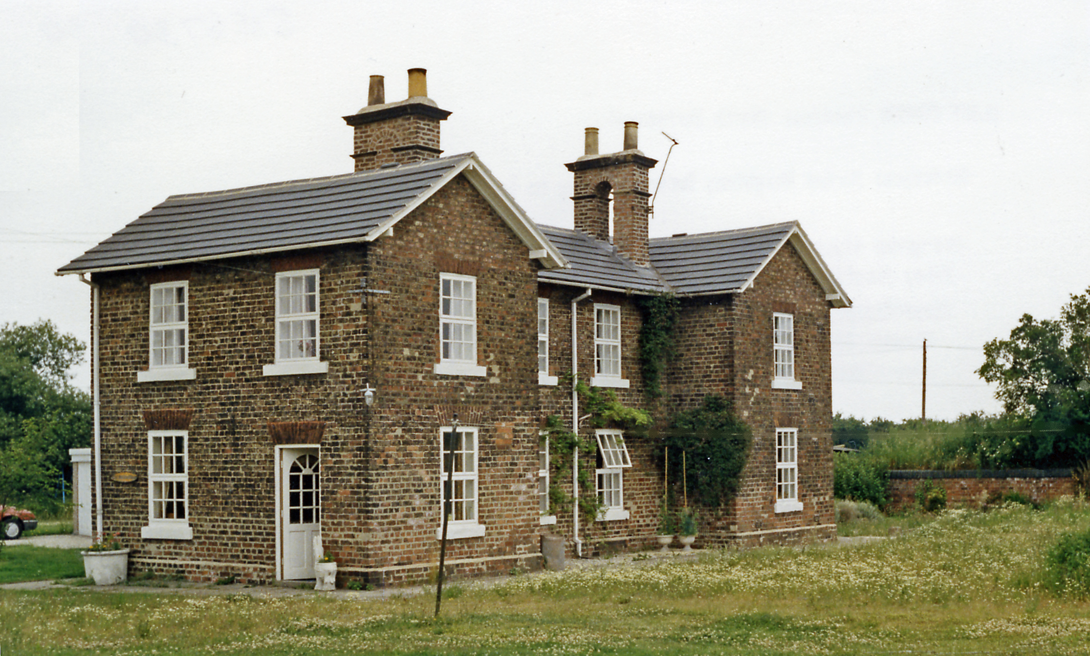
Barlby with Osgodby Images
Images are sourced within 2km of 53.800388/-1.029853 or Grid Reference SE6334. Thanks to Geograph Open Source API. All images are credited.


Barlby with Osgodby is located at Grid Ref: SE6334 (Lat: 53.800388, Lng: -1.029853)
Division: East Riding
Administrative County: North Yorkshire
District: Selby
Police Authority: North Yorkshire
What 3 Words
///putty.urban.gobblers. Near Barlby, North Yorkshire
Nearby Locations
Related Wikis

Barlby with Osgodby
Barlby with Osgodby is a civil parish in the Selby district of North Yorkshire, England, just to the north of Selby. The parish covers Barlby and Osgodby...

Barlby
Barlby is a linear village in the civil parish of Barlby with Osgodby, in North Yorkshire, England. It is situated 2 miles (3 km) to the north-east of...
Barlby High School
Barlby High School is a mixed secondary school located in Barlby, North Yorkshire, England. The school opened in 1960.Previously a community school administered...

Osgodby, Barlby with Osgodby
Osgodby is a village in the civil parish of Barlby with Osgodby, in North Yorkshire, England, 2 miles (3.2 km) from Selby. Its neighbouring village is...
RAF Riccall
RAF Riccall is a former Royal Air Force airfield located 3.1 miles (5 km) north east of Selby, North Yorkshire and 7.9 miles (12.7 km) south west of Elvington...

River Ouse swing bridge
The River Ouse swing bridge is a road bridge over the River Ouse in North Yorkshire, England. It was opened in 2004 when the A63 road bypassed the town...
Cliffe Common railway station
Cliffe Common railway station, also known as Cliff Common, formerly Cliff Common Gate, served the village of Cliffe, Selby, England from 1848 to 1964 on...
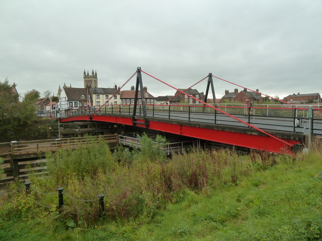
Selby toll bridge
Selby Toll Bridge is one of three swing bridges in the town of Selby, North Yorkshire, England. A timber bridge over the River Ouse in the town was opened...
Nearby Amenities
Located within 500m of 53.800388,-1.029853Have you been to Barlby with Osgodby?
Leave your review of Barlby with Osgodby below (or comments, questions and feedback).