Barlby

Settlement in Yorkshire Selby

England

Barlby

Homes in Osgodby
Homes in Osgodby Credit: David Brown

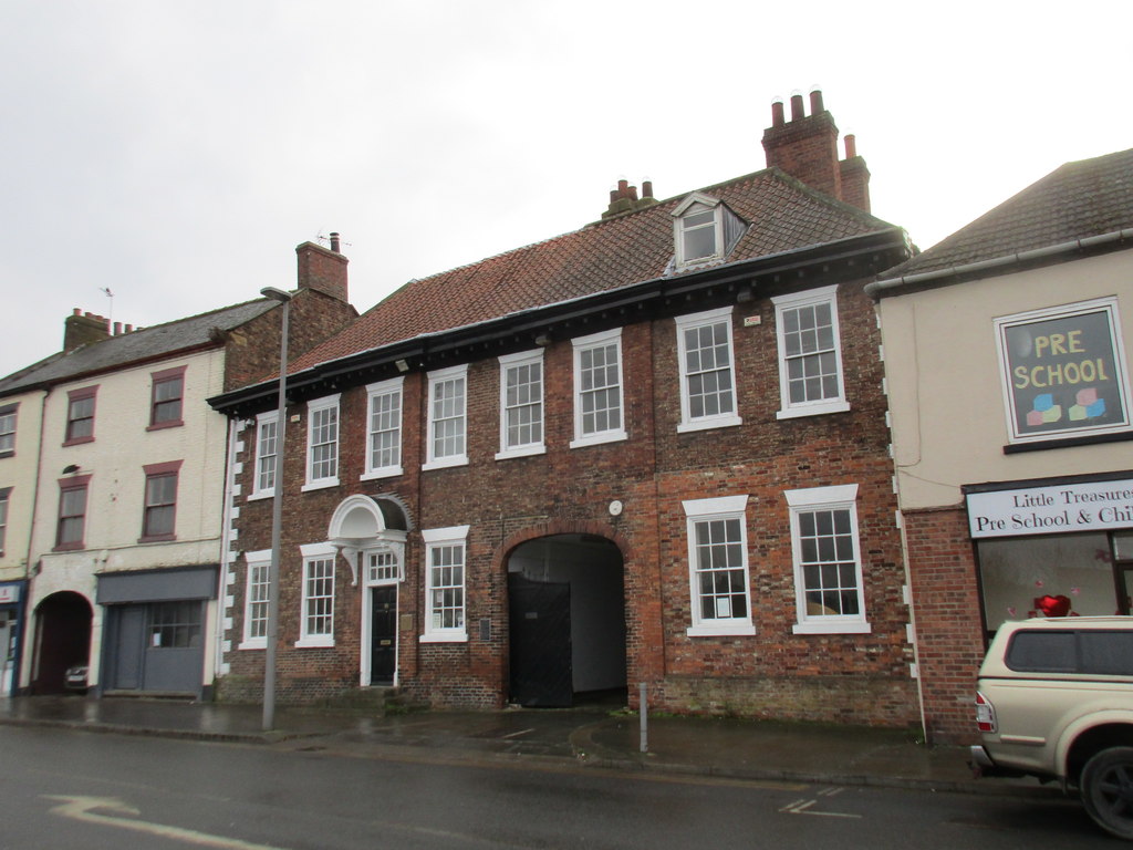
Barlby is a small village located in the Selby district of North Yorkshire, England. Situated about 3 miles southeast of Selby town, it lies on the banks of the River Ouse. With a population of around 3,000 residents, Barlby has a close-knit community feel and a peaceful atmosphere.

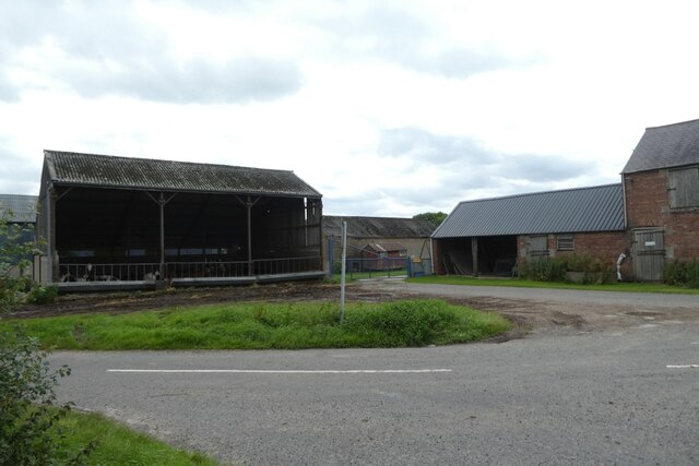
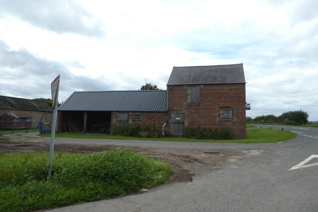
The village has a long history, dating back to the Domesday Book of 1086. It was primarily an agricultural community, benefiting from the fertile land surrounding it. Today, while agriculture still plays a role in the local economy, Barlby has diversified with a mix of industries, including manufacturing and retail.

Barlby offers a range of amenities to its residents. The village has a primary school, which serves the surrounding area, and there are also several nurseries and playgroups available for younger children. Additionally, there is a community library, a medical center, and various shops and pubs catering to the needs of the locals.

For recreational activities, residents can enjoy the scenic beauty of the area. Barlby is surrounded by picturesque countryside, making it ideal for walking, cycling, and exploring nature. The nearby Selby Canal provides opportunities for boating and fishing.

Transportation in Barlby is convenient, with regular bus services connecting the village to Selby and other nearby towns. The A63 road runs close by, offering easy access to further afield destinations.

Overall, Barlby is a charming village that offers a peaceful and friendly environment for its residents, with a rich history and plenty of amenities to cater to their needs.

If you have any feedback on the listing, please let us know in the comments section below.

Barlby Images

Images are sourced within 2km of 53.800523/-1.0395228 or Grid Reference SE6334. Thanks to Geograph Open Source API. All images are credited.

Homes in Osgodby
Homes in Osgodby
Crabland Lane Not a popular walk by the look of it
Crabland Lane
Not a popular walk by the look of it
On Whitemoor Lane The road goes left but there appears to be direct route ahead...but it does pass the piggeries
On Whitemoor Lane
The road goes left but there appears to be direct route ahead...but it does pass the piggeries
A163 at West Common Farm Looking along Market Weighton Road towards Barlby.
A163 at West Common Farm
Looking along Market Weighton Road towards Barlby.
West Common Farm Looking towards West Common Farm at the junction of the A163 and Whitemoor Lane.
West Common Farm
Looking towards West Common Farm at the junction of the A163 and Whitemoor Lane.
Start of Whitemoor Lane Looking along Whitemoor Lane near the junction with the A163.
Start of Whitemoor Lane
Looking along Whitemoor Lane near the junction with the A163.
West Common Farm Looking along the end of Whitemoor Lane onto the A163.
West Common Farm
Looking along the end of Whitemoor Lane onto the A163.
Whitemoor Lane Looking along Whitemoor Lane leading to Osgodby.
Whitemoor Lane
Looking along Whitemoor Lane leading to Osgodby.
Bales south of Whitemoor Lane Looking across fields of stubble.
Bales south of Whitemoor Lane
Looking across fields of stubble.
Along Whitemoor Lane Looking along Whitemoor Lane towards the junction with the A163.
Along Whitemoor Lane
Looking along Whitemoor Lane towards the junction with the A163.
Track to the A163 Looking along a rough track from the junction with Whitemoor Lane.
Track to the A163
Looking along a rough track from the junction with Whitemoor Lane.
Track to Commonside Farm Looking along Whitemoor Lane.
Track to Commonside Farm
Looking along Whitemoor Lane.
Crabland Lane Looking along a footpath to Osgodby.
Crabland Lane
Looking along a footpath to Osgodby.
Moor Lane Looking along Moor Lane towards Osgodby.
Moor Lane
Looking along Moor Lane towards Osgodby.
Farmland beside Moor Lane Looking across fields north of Osgodby.
Farmland beside Moor Lane
Looking across fields north of Osgodby.
Ditch along Moor Lane Looking along Moor Lane towards Osgodby.
Ditch along Moor Lane
Looking along Moor Lane towards Osgodby.
South Duffield Road from Moor Lane Looking along South Duffield Road in Osgodby.
South Duffield Road from Moor Lane
Looking along South Duffield Road in Osgodby.
North side of Osgodby Looking along South Duffield Road.
North side of Osgodby
Looking along South Duffield Road.
Show me another place!

Barlby is located at Grid Ref: SE6334 (Lat: 53.800523, Lng: -1.0395228)

Division: East Riding

Administrative County: North Yorkshire

District: Selby

Police Authority: North Yorkshire

What 3 Words

///provoking.taxi.mostly. Near Barlby, North Yorkshire

Nearby Locations

Barlby Barlby with Osgodby

Related Wikis

Barlby

Barlby is a linear village in the civil parish of Barlby with Osgodby, in North Yorkshire, England. It is situated 2 miles (3 km) to the north-east of...

Barlby High School

Barlby High School is a mixed secondary school located in Barlby, North Yorkshire, England. The school opened in 1960.Previously a community school administered...

Barlby with Osgodby

Barlby with Osgodby is a civil parish in the Selby district of North Yorkshire, England, just to the north of Selby. The parish covers Barlby and Osgodby...

Osgodby, Barlby with Osgodby

Osgodby is a village in the civil parish of Barlby with Osgodby, in North Yorkshire, England, 2 miles (3.2 km) from Selby. Its neighbouring village is...
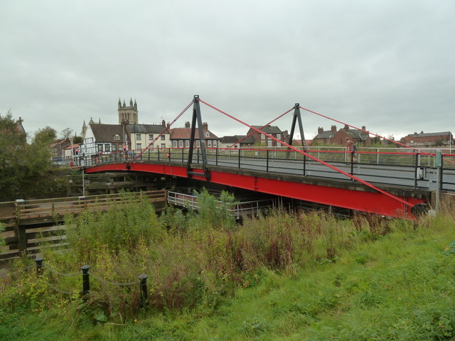
Selby toll bridge

Selby Toll Bridge is one of three swing bridges in the town of Selby, North Yorkshire, England. A timber bridge over the River Ouse in the town was opened...
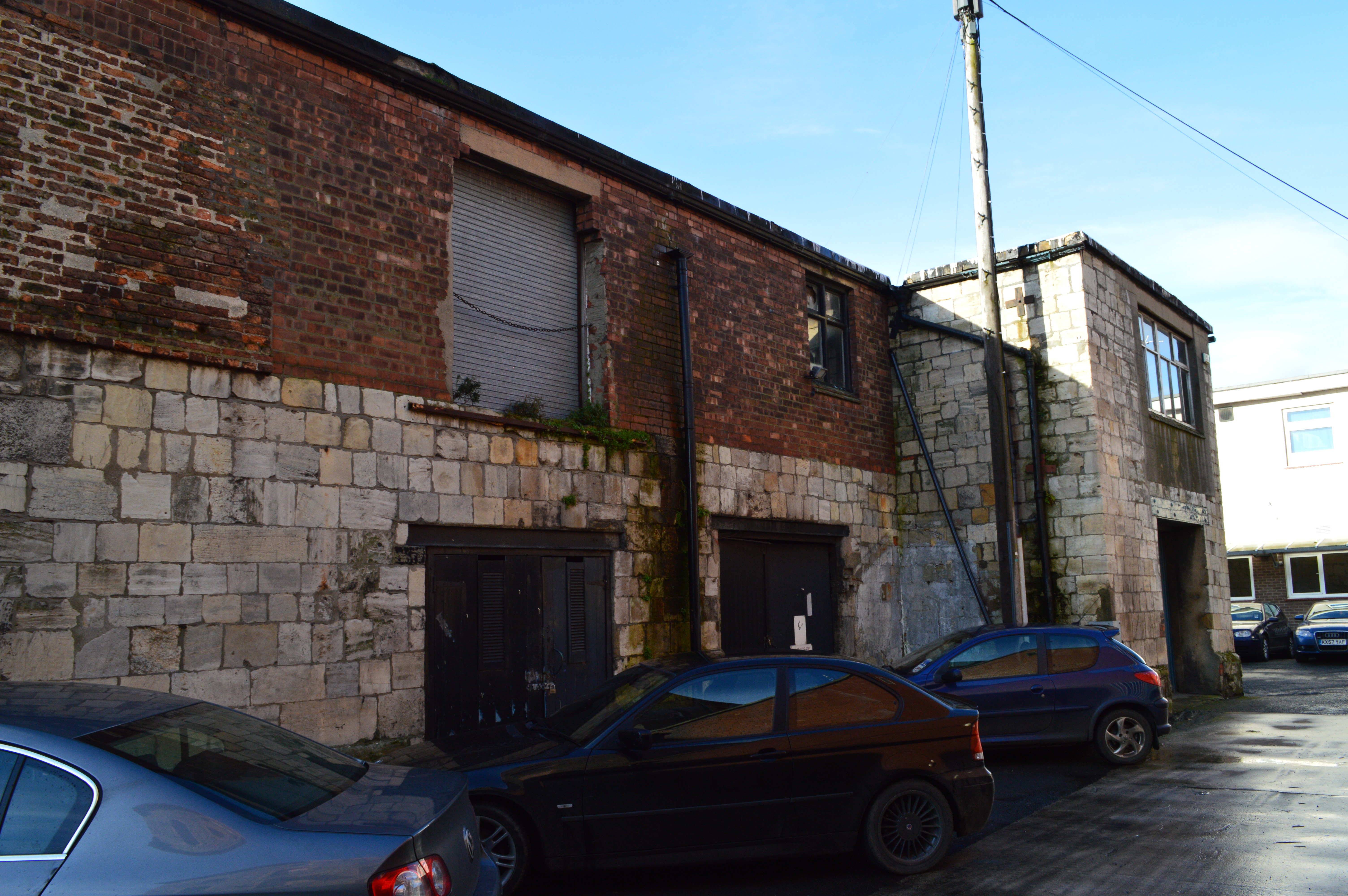
Abbot's Staith

Abbot's Staith is a historic building in Selby, a town in North Yorkshire in England. The building was constructed in about 1500, probably as a warehouse...

Corunna House

Corunna House is a historic building in Selby, in North Yorkshire, England. The house lies on Water Lane, facing the River Ouse. It was built in the early...

Selby railway station

Selby railway station is a Grade II listed station which serves the market town of Selby in North Yorkshire, England. The original terminus station was...

Nearby Amenities

Located within 500m of 53.800523,-1.0395228
Barlby
Place: village
Wikidata: Q693142
Lat/Long: 53.7984602/-1.0410584
Public Transport: stop_position
Lat/Long: 53.7980862/-1.0438998
Traffic Calming: hump
Lat/Long: 53.7977497/-1.044159
Turning Circle
Source: Bing
Lat/Long: 53.796466/-1.040966
Turning Circle
Source: Bing
Lat/Long: 53.7964817/-1.0385736
Barlby Village Stores
Addr City: Selby
Addr Postcode: YO8 5XD
Addr Street: Sycamore Road
Shop: convenience
Lat/Long: 53.8031613/-1.0365236
Noexit: yes
Lat/Long: 53.8030101/-1.0394974
Bus Stop
Bus: yes
Naptan AtcoCode: 3200YNA00683
Naptan NaptanCode: 32000683
Public Transport: platform
Lat/Long: 53.8031284/-1.0387765
Bus Stop
Bus: yes
Public Transport: platform
Lat/Long: 53.8020326/-1.0391339
Bus Stop
Bus: yes
Public Transport: platform
Lat/Long: 53.804472/-1.0391956
Bus Stop
Bus: yes
Naptan AtcoCode: 3200YNA00727
Naptan NaptanCode: 32000727
Public Transport: platform
Lat/Long: 53.800014/-1.040732
Bus Stop
Bus: yes
Naptan AtcoCode: 3200YNA00728
Naptan NaptanCode: 32000728
Public Transport: platform
Lat/Long: 53.8000445/-1.0409943
Post Box
Post Box Type: wall
Ref: YO8 31
Royal Cypher: EIIR
Royal Cypher Wikidata: Q33102113
Lat/Long: 53.8004103/-1.0398406
Bus Stop
Howden Road
Bench: yes
Bin: yes
Bus: yes
Lit: no
Public Transport: platform
Shelter: yes
Tactile Paving: no
Lat/Long: 53.7983417/-1.0437609
Bus Stop
Howden Road
Bench: yes
Bin: yes
Bus: yes
Lit: no
Naptan AtcoCode: 3200YNA00724
Naptan NaptanCode: 32000724
Public Transport: platform
Shelter: yes
Tactile Paving: no
Lat/Long: 53.798051/-1.0437757
Library
Barlby Library & Community Hub
Addr City: Selby
Addr Postcode: YO8 5JE
Addr Street: Howden Road
Opening Hours: PH,Mo,Th,Su off; Tu 14:00-19:00;We, Fr 14:00-17:00;Sa 10:00-12:00
Wikidata: Q45840247
Lat/Long: 53.7981756/-1.042364
Pub
The New Inn
Addr City: Selby
Addr Postcode: YO8 5JE
Addr Street: Howden Road
Lat/Long: 53.7978534/-1.041576
Post Box
Post Box Design: type_n
Post Box Type: lamp
Ref: YO8 44
Royal Cypher: EIIR
Royal Cypher Wikidata: Q33102113
Lat/Long: 53.7974225/-1.0382394
Power: pole
Lat/Long: 53.7969058/-1.0358397
Power: pole
Lat/Long: 53.8031393/-1.0347024
Power: pole
Lat/Long: 53.8002864/-1.0352496
Power: pole
Lat/Long: 53.7979059/-1.0356923
Power: pole
Lat/Long: 53.8016519/-1.0349813
Power: pole
Lat/Long: 53.7988084/-1.0355258
Power: pole
Lat/Long: 53.7984203/-1.0455411
Power: pole
Lat/Long: 53.8026308/-1.0457127
Power: pole
Lat/Long: 53.7996939/-1.0453962
Power: pole
Lat/Long: 53.8011387/-1.0455786
Barrier: bollard
Lat/Long: 53.8035101/-1.037385
Noexit: yes
Lat/Long: 53.8017643/-1.041203
Pharmacy
Barlby Central Pharmacy
Addr City: Barlby
Addr Housename: The Old Post Office
Addr Postcode: YO8 5JH
Addr Street: York Road
Disused Amenity: post_office
Healthcare: pharmacy
Lat/Long: 53.8004403/-1.0399127
Turning Circle
Lat/Long: 53.8032397/-1.0373691
Noexit: yes
Lat/Long: 53.8029457/-1.0401745
Crossing
Lat/Long: 53.8040859/-1.0393341
Demolished Amenity: pub
Old Name: Bay Horse
Lat/Long: 53.8001138/-1.0410863
Entrance: yes
Lat/Long: 53.7981348/-1.0423739
Barlby and Osgodby Parish Council
Advertising: board
Lat/Long: 53.7971908/-1.0443961
Line Management: termination
Location Transition: yes
Material: wood
Power: pole
Lat/Long: 53.7971804/-1.0378649
Bench
Backrest: yes
Lat/Long: 53.7980529/-1.0423307
Information: board
Lat/Long: 53.7981116/-1.0423357
Defibrillator
Defibrillator Location: outside Barlby Library & Community Hub, Howden Road, Barlby, YO8 5JE - on wall to right of entrance
Emergency: defibrillator
Indoor: no
Lat/Long: 53.7981082/-1.0423062
Noexit: yes
Lat/Long: 53.8016929/-1.0407846
Fast Food
Barlby Fisheries
Cuisine: fish_and_chips
Source: survey
Lat/Long: 53.7979502/-1.0418225
Noexit: yes
Lat/Long: 53.8029418/-1.0396438
Noexit: yes
Lat/Long: 53.8028997/-1.0403058
Material: wood
Power: pole
Lat/Long: 53.7965257/-1.0380737
Bench
Backrest: no
Lat/Long: 53.8010491/-1.0454675
Bench
Backrest: no
Lat/Long: 53.8027147/-1.0456143
Bench
Backrest: yes
Lat/Long: 53.8014554/-1.045518
Bench
Backrest: no
Lat/Long: 53.7997401/-1.0451631
Traffic Calming: cushion
Lat/Long: 53.7990473/-1.0389781
The data included in this document is from www.openstreetmap.org. The data is made available under ODbL.

Have you been to Barlby?

Leave your review of Barlby below (or comments, questions and feedback).