Barford
Civil Parish in Warwickshire Warwick
England
Barford
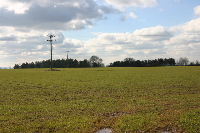
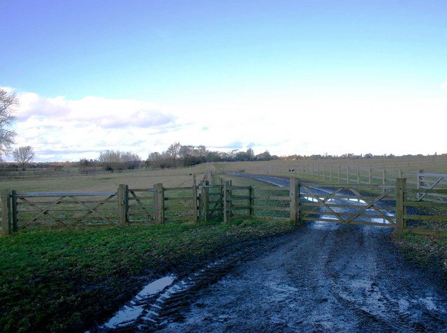
Barford is a civil parish located in the county of Warwickshire, England. Situated approximately 3 miles south of Warwick, it covers an area of around 6.8 square kilometers. The village is nestled in the picturesque Avon Valley and is surrounded by beautiful countryside, making it an attractive place to live or visit.
Barford has a rich history dating back to Roman times, with evidence of settlements and artifacts found in the area. Today, it is a thriving community with a population of around 1,500 residents. The village offers a range of amenities, including a primary school, a village hall, a post office, and several shops and pubs. There are also various recreational facilities, such as a cricket club and a football club, providing opportunities for sports enthusiasts.
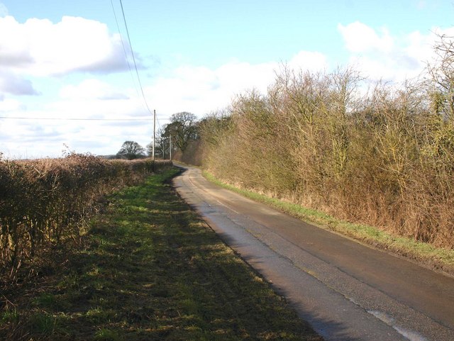
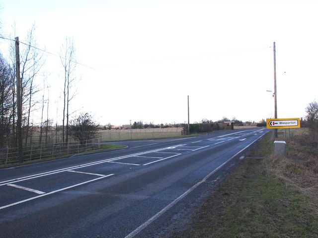
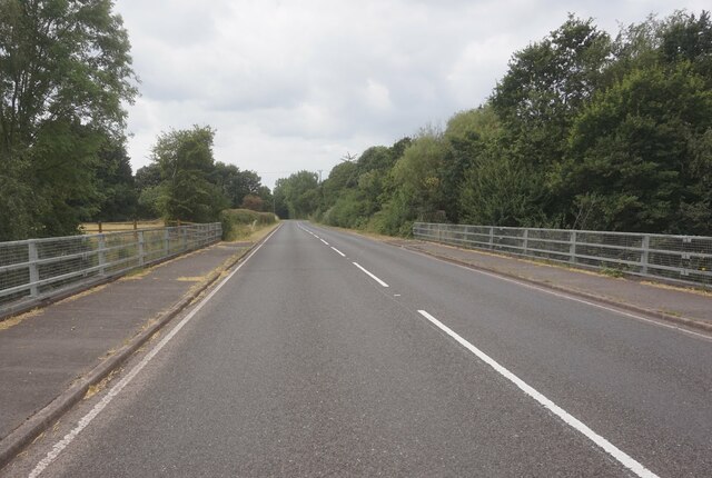
The village is well-connected to other towns and cities in the region, with good transport links. The A429 road passes through Barford, providing easy access to nearby Warwick, Leamington Spa, and Stratford-upon-Avon. The M40 motorway is also within a short drive, connecting the village to Birmingham and London.
Barford is surrounded by beautiful countryside, offering plenty of opportunities for outdoor activities. The nearby River Avon provides opportunities for boating, fishing, and riverside walks. The village also benefits from its proximity to historic attractions, such as Warwick Castle and the birthplace of William Shakespeare in Stratford-upon-Avon.
Overall, Barford is a charming village with a rich history, picturesque surroundings, and a close-knit community, making it an appealing place to live or visit in Warwickshire.
If you have any feedback on the listing, please let us know in the comments section below.
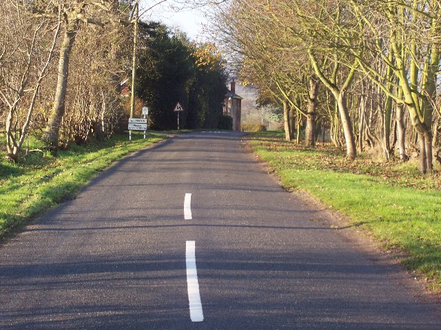
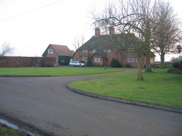
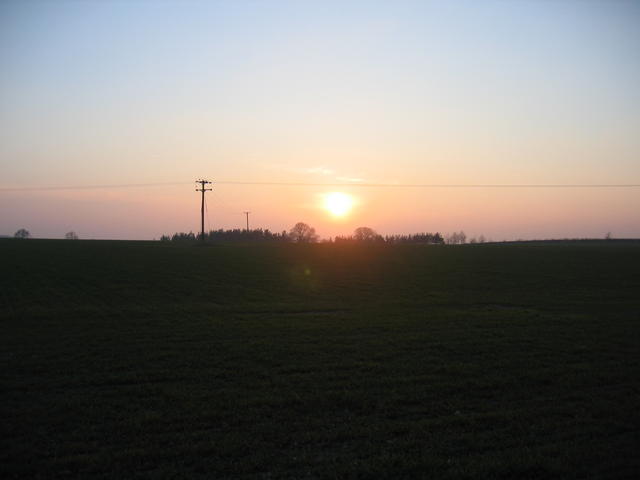
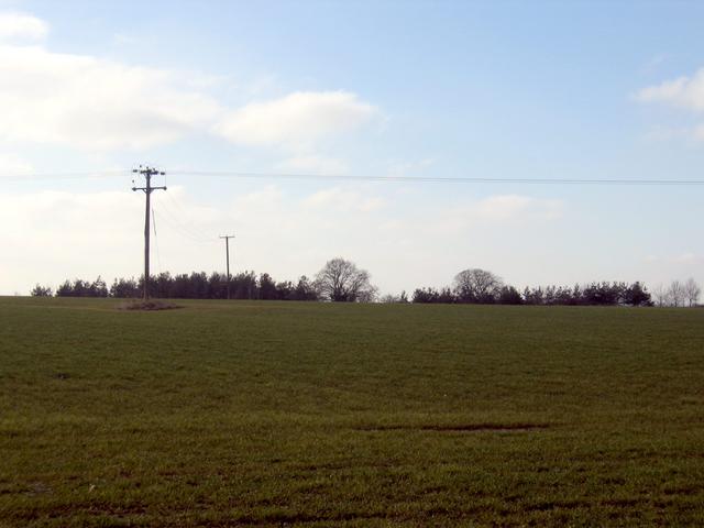
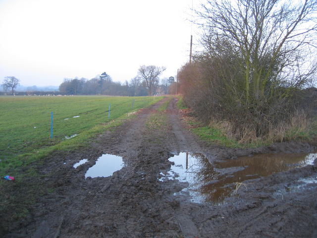
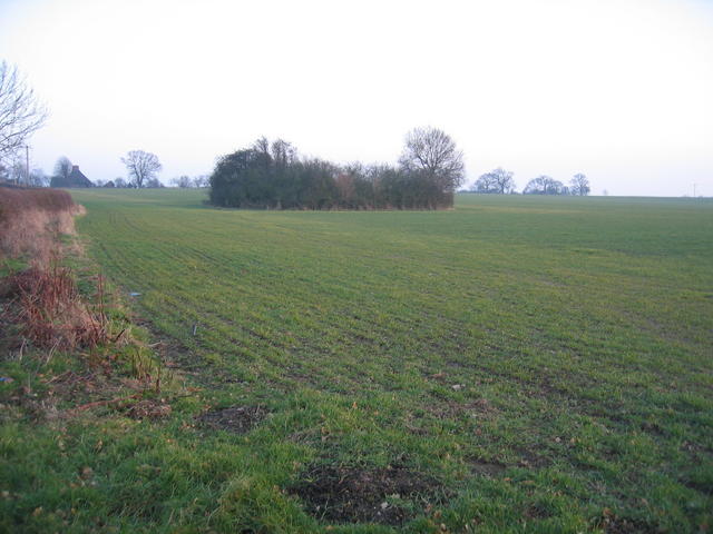
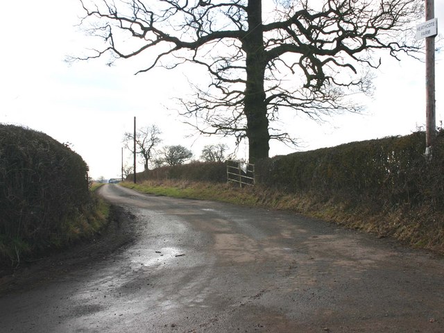
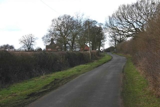
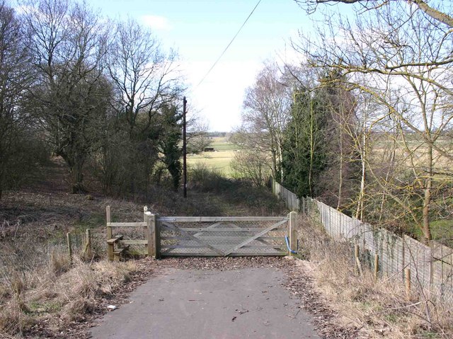
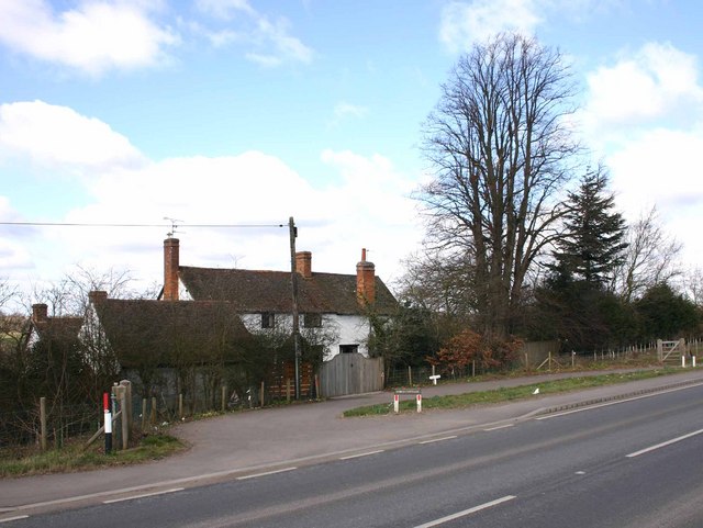
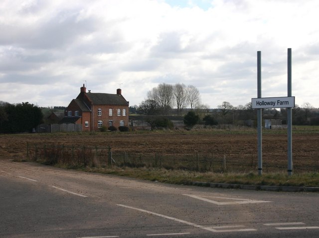
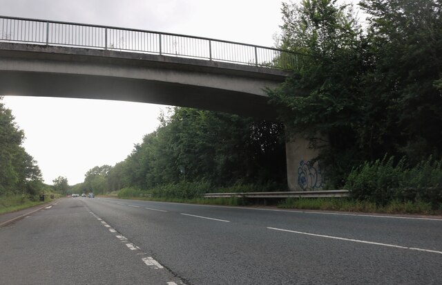
Barford Images
Images are sourced within 2km of 52.244479/-1.591232 or Grid Reference SP2860. Thanks to Geograph Open Source API. All images are credited.
Barford is located at Grid Ref: SP2860 (Lat: 52.244479, Lng: -1.591232)
Administrative County: Warwickshire
District: Warwick
Police Authority: Warwickshire
What 3 Words
///hospitals.offline.chromatic. Near Warwick, Warwickshire
Nearby Locations
Related Wikis

Barford, Warwickshire
Barford is a village and civil parish in the Warwick district of Warwickshire, England, about three miles south of Warwick. As at the 2001 census the parish...

Sherbourne, Warwickshire
Sherbourne is a village and civil parish in the Warwick district of Warwickshire, England. The population of the civil parish at the 2011 Census was 174...

RAF Warwick
RAF Warwick is a former Royal Air Force relief landing ground located 1.7 miles (2.7 km) south west of Warwick, Warwickshire, England. RAF Warwick was...
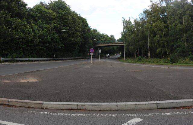
Longbridge Interchange
Longbridge Interchange (also known as Longbridge Island) is a major road and motorway junction between Warwick and Sherbourne, Warwickshire, connecting...

Wasperton
Wasperton is a village and civil parish in the English county of Warwickshire. The population of the civil parish at the 2011 census was 153. It is on...
Thelsford Priory
Thelsford Priory is a site listed by the Historic Buildings and Monuments Commission for England.Thelsford Priory was a small house, originally of the...
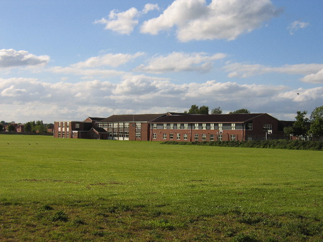
Aylesford School
Aylesford School and Sixth Form College is a coeducational all-through school and sixth form located in Warwick, England. It was constructed on part of...
M40 minibus crash
On 18 November 1993, just after midnight, a minibus was involved in a fatal collision with a maintenance vehicle on the M40 motorway near Warwick, England...
Nearby Amenities
Located within 500m of 52.244479,-1.591232Have you been to Barford?
Leave your review of Barford below (or comments, questions and feedback).