Watchbury Hill

Hill, Mountain in Warwickshire Warwick

England

Watchbury Hill

The B4087 at Oakley Wood
The B4087 at Oakley Wood Credit: David Gearing

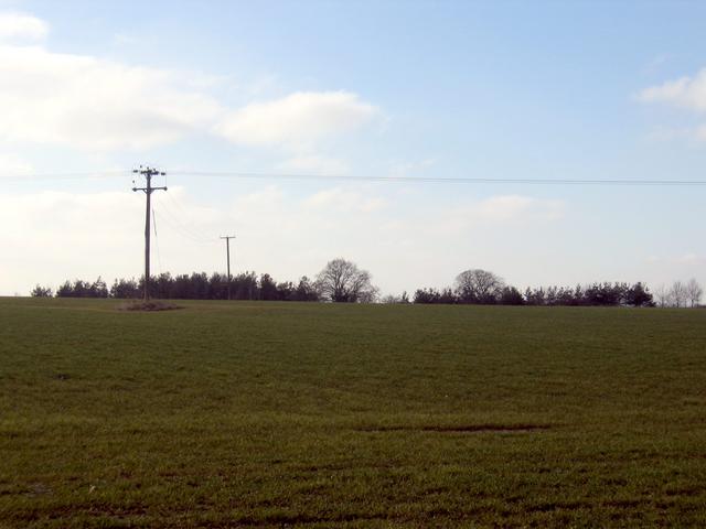
Watchbury Hill is a prominent hill located in Warwickshire, England. Situated near the village of Alcester, it forms part of the scenic landscape of the county. The hill stands at an elevation of approximately 167 meters (548 feet) above sea level, making it a notable landmark in the area.

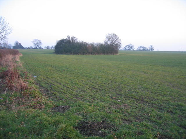
The summit of Watchbury Hill offers stunning panoramic views of the surrounding countryside, including the rolling hills and woodlands that stretch across Warwickshire. On a clear day, visitors can see as far as the Malvern Hills in Worcestershire and the Cotswolds in Gloucestershire.

The hill itself is covered in lush grass and scattered with a variety of trees, providing a picturesque setting for walks and hikes. It is home to a diverse range of flora and fauna, with wildflowers and small animals often spotted along the hillside.

Watchbury Hill holds historical significance as well, with traces of an Iron Age hillfort found on its slopes. The remains of circular earthworks and defensive ditches can still be seen, offering a glimpse into the area's ancient past.

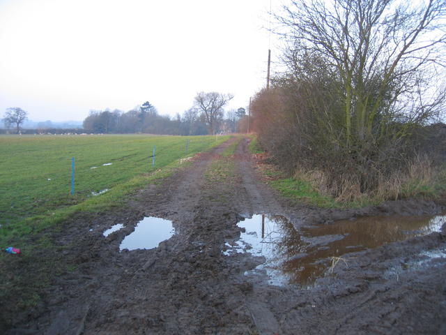
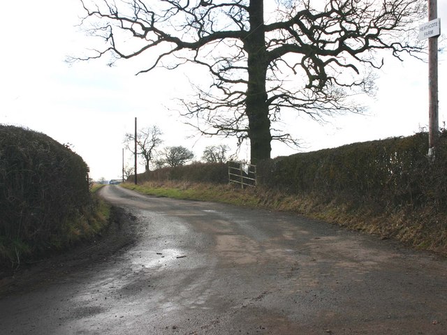
The hill is a popular destination for outdoor enthusiasts, offering various walking trails and paths for exploration. It provides a peaceful and tranquil escape from the hustle and bustle of daily life, and its natural beauty is cherished by locals and visitors alike.

If you have any feedback on the listing, please let us know in the comments section below.

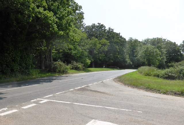
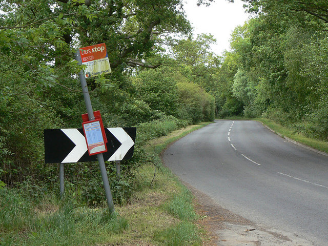
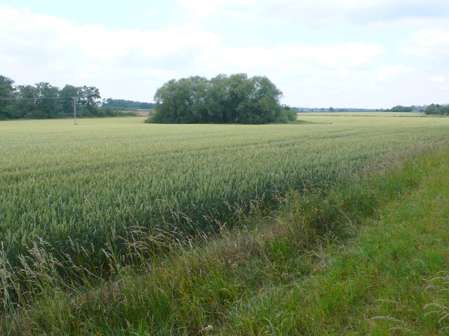
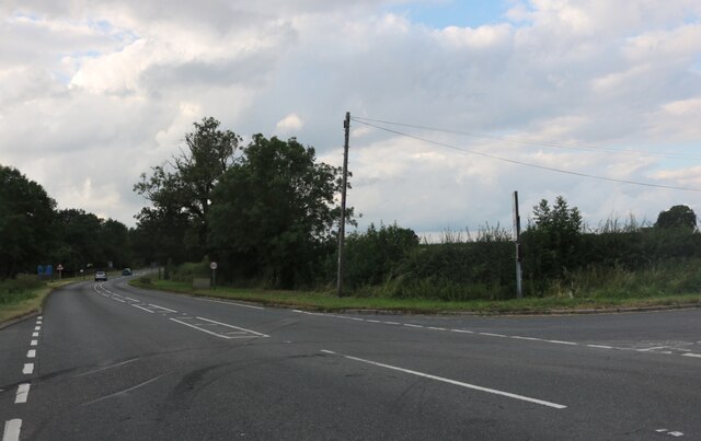
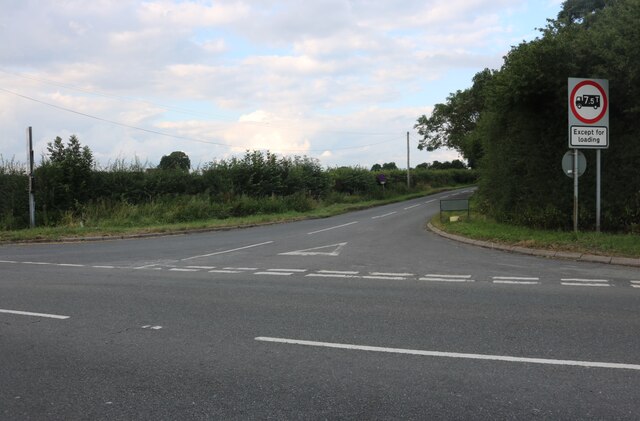
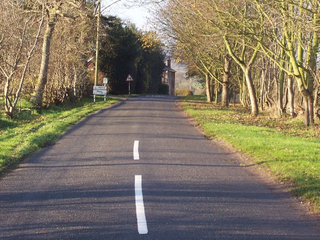
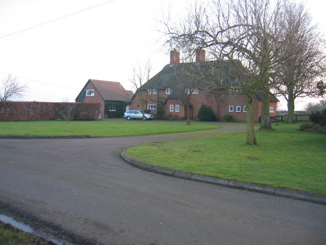
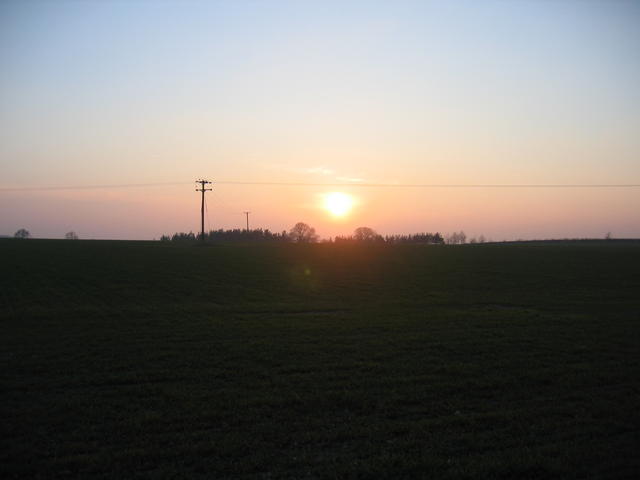
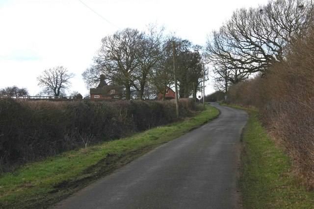
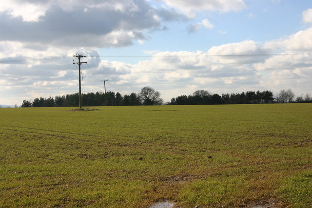
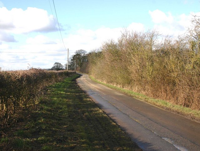
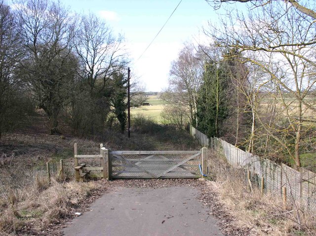
Watchbury Hill Images

Images are sourced within 2km of 52.242731/-1.5853417 or Grid Reference SP2860. Thanks to Geograph Open Source API. All images are credited.

The B4087 at Oakley Wood
Bus stop at Oakley Wood This principally serves the adjacent crematorium.
Bus stop at Oakley Wood
This principally serves the adjacent crematorium.
Oakley Wood This minor road junction is just to the west of the wood which is on the left of the image. The wood contains Oakley Wood Crematorium and also an earthwork which could be an iron age fort. The woods are PAWS Plantation on Ancient Woodland Site and do now contain non native species such as pine. Work has started on retunrning this 47Ha site to native woodland species.
Oakley Wood
This minor road junction is just to the west of the wood which is on the left of the image. The wood contains Oakley Wood Crematorium and also an earthwork which could be an iron age fort. The woods are PAWS Plantation on Ancient Woodland Site and do now contain non native species such as pine. Work has started on retunrning this 47Ha site to native woodland species.
Wheatfield This wheatfield with a small copse in the middle of it is just to the west of Oakley Woods.
Wheatfield
This wheatfield with a small copse in the middle of it is just to the west of Oakley Woods.
Banbury Road, Bishop's Tachbrook
Mallory Road at the junction of Banbury Road
Wasperton no through road. Not many villages that I know of are in a no through road situation.
Wasperton no through road.
Not many villages that I know of are in a no through road situation.
Upper Rowley The large house beside Wasperton Lane towards the north of the square.
Upper Rowley
The large house beside Wasperton Lane towards the north of the square.
Low sun over Wasperton Hill A low winter afternoon's sun setting over Wasperton Hill. Seen looking WSW from near Wasperton Lane in the north of the square.
Low sun over Wasperton Hill
A low winter afternoon's sun setting over Wasperton Hill. Seen looking WSW from near Wasperton Lane in the north of the square.
Wasperton Hill The copse of trees on the top of the hill, seen looking SW from Wasperton Lane.
Wasperton Hill
The copse of trees on the top of the hill, seen looking SW from Wasperton Lane.
Bridleway to Plestows Looking north along the bridleway from Upper Rowley on Wasperton Lane.
Bridleway to Plestows
Looking north along the bridleway from Upper Rowley on Wasperton Lane.
Near Upper Rowley Looking SE towards Upper Rowley in the NE corner of the square.  The small copse of trees and bushes surrounds the pond shown on the OS map on the eastern boundary of the square.
Near Upper Rowley
Looking SE towards Upper Rowley in the NE corner of the square. The small copse of trees and bushes surrounds the pond shown on the OS map on the eastern boundary of the square.
View NW from footpath to Wasperton View NW towards Marl Pit Cottages from footpath to Wasperton near Rushy Close Spinney.
View NW from footpath to Wasperton
View NW towards Marl Pit Cottages from footpath to Wasperton near Rushy Close Spinney.
Entrance to Heathcote Farm Entrance to Heathcote Farm from Wasperton Lane.
Entrance to Heathcote Farm
Entrance to Heathcote Farm from Wasperton Lane.
Upper Rowley, Wasperton Lane View NW up Wasperton Lane.
Upper Rowley, Wasperton Lane
View NW up Wasperton Lane.
Wasperton Hill from Wasperton Lane View SW from Wasperton Lane.
Wasperton Hill from Wasperton Lane
View SW from Wasperton Lane.
Wasperton Lane near Wasperton Hill View NE up Wasperton Lane.
Wasperton Lane near Wasperton Hill
View NE up Wasperton Lane.
Footpath to Wasperton Looking WSW from the A429, opposite the entrance to Holloway Farm.
Footpath to Wasperton
Looking WSW from the A429, opposite the entrance to Holloway Farm.
Show me another place!

Watchbury Hill is located at Grid Ref: SP2860 (Lat: 52.242731, Lng: -1.5853417)

Administrative County: Warwickshire

District: Warwick

Police Authority: Warwickshire

What 3 Words

///handrail.strays.shuttling. Near Warwick, Warwickshire

Nearby Locations

Watchbury Hill Barford

Related Wikis

Barford, Warwickshire

Barford is a village and civil parish in the Warwick district of Warwickshire, England, about three miles south of Warwick. As at the 2001 census the parish...

Sherbourne, Warwickshire

Sherbourne is a village and civil parish in the Warwick district of Warwickshire, England. The population of the civil parish at the 2011 Census was 174...

Wasperton

Wasperton is a village and civil parish in the English county of Warwickshire. The population of the civil parish at the 2011 census was 153. It is on...

RAF Warwick

RAF Warwick is a former Royal Air Force relief landing ground located 1.7 miles (2.7 km) south west of Warwick, Warwickshire, England. RAF Warwick was...

Thelsford Priory

Thelsford Priory is a site listed by the Historic Buildings and Monuments Commission for England.Thelsford Priory was a small house, originally of the...

Longbridge Interchange

Longbridge Interchange (also known as Longbridge Island) is a major road and motorway junction between Warwick and Sherbourne, Warwickshire, connecting...

Bishop's Tachbrook

Bishop's Tachbrook is a village and civil parish in the Warwick District of Warwickshire, England. The village is about 3 miles (5 km) south of Warwick...

Ashorne Hill House

Ashorne Hill House, Ashorne, Warwickshire, England is a late Victorian country house built for Arthur and Ethel Tree by the architect Edward Goldie between...

Nearby Amenities

Located within 500m of 52.242731,-1.5853417
Material: wood
Operator: National Grid Electricity Distribution
Operator Wikidata: Q7988183
Power: pole
Lat/Long: 52.2411346/-1.5905017
Material: wood
Operator: National Grid Electricity Distribution
Operator Wikidata: Q7988183
Power: pole
Lat/Long: 52.2417998/-1.5899062
Frequency: 50
Material: wood
Operator: National Grid Electricity Distribution
Operator Wikidata: Q7988183
Power: pole
Transformer: distribution
Voltage Primary: 11000
Voltage Secondary: 400
Lat/Long: 52.2424719/-1.5892788
Material: wood
Operator: National Grid Electricity Distribution
Operator Wikidata: Q7988183
Power: pole
Lat/Long: 52.2431646/-1.5885195
Material: wood
Operator: National Grid Electricity Distribution
Operator Wikidata: Q7988183
Power: pole
Lat/Long: 52.2444144/-1.5871784
Brand: National Grid
Brand Wikidata: Q1465461
Material: wood
Operator: National Grid Electricity Distribution
Operator Old: Western Power Distribution
Operator Wikidata: Q7988183
Owner: National Grid Electricity Distribution (East Midlands) Plc
Owner Wikidata: Q114348127
Power: pole
Lat/Long: 52.24465/-1.586992
Brand: National Grid
Brand Wikidata: Q1465461
Material: wood
Operator: National Grid Electricity Distribution
Operator Old: Western Power Distribution
Operator Wikidata: Q7988183
Owner: National Grid Electricity Distribution (East Midlands) Plc
Owner Wikidata: Q114348127
Power: pole
Lat/Long: 52.2455341/-1.5871419
Brand: National Grid
Brand Wikidata: Q1465461
Material: wood
Operator: National Grid Electricity Distribution
Operator Old: Western Power Distribution
Operator Wikidata: Q7988183
Owner: National Grid Electricity Distribution (East Midlands) Plc
Owner Wikidata: Q114348127
Power: pole
Lat/Long: 52.246349/-1.5872917
Material: wood
Operator: National Grid Electricity Distribution
Operator Wikidata: Q7988183
Power: pole
Lat/Long: 52.2404044/-1.5911911
Turning Circle
Lat/Long: 52.2404071/-1.5817476
Generator Method: photovoltaic
Generator Output Electricity: yes
Generator Source: solar
Generator Type: solar_photovoltaic_panel
Power: generator
Lat/Long: 52.2429553/-1.5901635
Generator Method: photovoltaic
Generator Output Electricity: yes
Generator Source: solar
Generator Type: solar_photovoltaic_panel
Power: generator
Lat/Long: 52.2429175/-1.5901313
Material: wood
Operator: National Grid Electricity Distribution
Operator Wikidata: Q7988183
Power: pole
Lat/Long: 52.2438489/-1.5877852
Frequency: 50
Material: wood
Operator: National Grid Electricity Distribution
Operator Wikidata: Q7988183
Power: pole
Ref: 932244
Source: wpd_opendata
Transformer: distribution
Voltage Primary: 11000
Voltage Secondary: 400
Lat/Long: 52.2424153/-1.5850883
Material: wood
Operator: National Grid Electricity Distribution
Operator Wikidata: Q7988183
Power: pole
Source: bing
Lat/Long: 52.2436663/-1.5924637
Material: wood
Operator: National Grid Electricity Distribution
Operator Wikidata: Q7988183
Power: pole
Source: bing
Lat/Long: 52.243833/-1.5914606
Material: wood
Operator: National Grid Electricity Distribution
Operator Wikidata: Q7988183
Power: pole
Source: bing
Lat/Long: 52.2440055/-1.5904185
Material: wood
Operator: National Grid Electricity Distribution
Operator Wikidata: Q7988183
Power: pole
Source: bing
Lat/Long: 52.2442214/-1.5893175
Material: wood
Operator: National Grid Electricity Distribution
Operator Wikidata: Q7988183
Power: pole
Source: bing
Lat/Long: 52.2444185/-1.5882714
Material: wood
Operator: National Grid Electricity Distribution
Operator Wikidata: Q7988183
Power: pole
Source: bing
Lat/Long: 52.2446057/-1.5872736
Frequency: 50
Material: wood
Operator: National Grid Electricity Distribution
Operator Wikidata: Q7988183
Power: pole
Ref: 932245
Source: wpd_opendata
Transformer: distribution
Voltage Primary: 11000
Voltage Secondary: 400
Lat/Long: 52.2406353/-1.5810925
Material: wood
Operator: National Grid Electricity Distribution
Operator Wikidata: Q7988183
Power: pole
Source: bing
Lat/Long: 52.2396893/-1.5805775
The data included in this document is from www.openstreetmap.org. The data is made available under ODbL.

Have you been to Watchbury Hill?

Leave your review of Watchbury Hill below (or comments, questions and feedback).