Bampton

Civil Parish in Westmorland Eden

England

Bampton

Old quarry building A useful lunch spot
Old quarry building Credit: David Brown

Bampton, Westmorland is a civil parish located in the Eden District of Cumbria, England. It is situated in the Lake District National Park, approximately 10 miles north-east of Kendal and 4 miles south-west of Shap. Bampton is a rural area characterized by its picturesque landscapes and charming traditional villages.

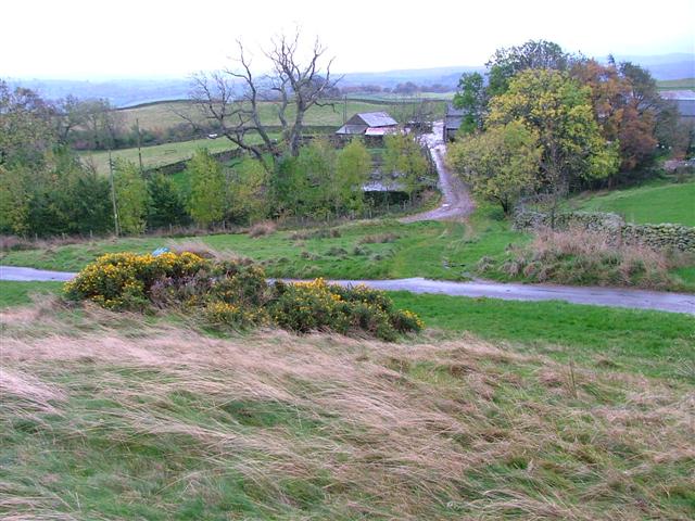
The parish covers an area of about 8 square miles and is home to a population of around 500 residents. The village of Bampton itself is the main settlement within the parish, featuring a range of amenities including a village hall, a primary school, a church, and a few local shops. The village is known for its well-preserved historic buildings, some of which date back to the 17th century.

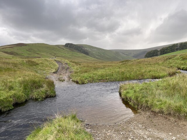
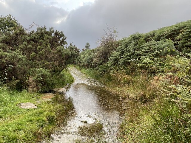
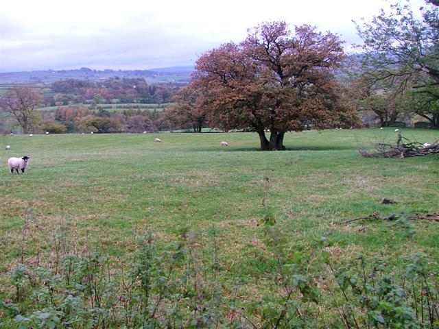
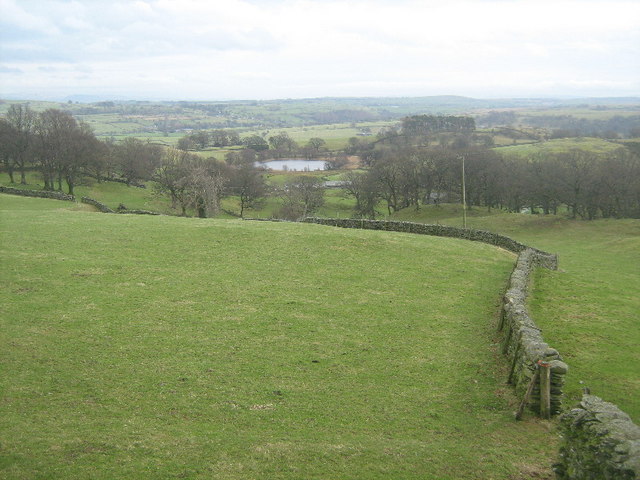
The surrounding countryside is predominantly agricultural, with rolling hills, lush green fields, and tranquil rivers. Bampton Common, a designated Site of Special Scientific Interest, is located within the parish, offering opportunities for nature walks and wildlife spotting. The River Lowther, which runs through the area, attracts fishing enthusiasts and provides a peaceful setting for leisure activities.

Bampton is also a popular destination for tourists and outdoor enthusiasts due to its proximity to the Lake District National Park. The park offers a wealth of recreational activities, including hiking, cycling, boating, and camping.

Overall, Bampton, Westmorland is a serene and picturesque civil parish that offers a tranquil rural lifestyle, while also providing easy access to the stunning natural beauty of the Lake District National Park.

If you have any feedback on the listing, please let us know in the comments section below.

Bampton Images

Images are sourced within 2km of 54.551194/-2.787607 or Grid Reference NY4917. Thanks to Geograph Open Source API. All images are credited.

Old quarry building A useful lunch spot
Old quarry building
A useful lunch spot
Cawdale Beck Ford This ford on the Cawdale Beck is found on the track below Moorahill Farm.
Cawdale Beck Ford
This ford on the Cawdale Beck is found on the track below Moorahill Farm.
Burnbanks Ford This ford is found on the track on the north bank of Haweswater Reservoir.
Burnbanks Ford
This ford is found on the track on the north bank of Haweswater Reservoir.
Farm Road to Hullockhowe
Fields Below Low Hullockhowe Looking north east from below Low Hullockhowe across the Lowther valley.
Fields Below Low Hullockhowe
Looking north east from below Low Hullockhowe across the Lowther valley.
Coast to Coast Path above Burnbanks Having just passed the Haweswater dam.
Coast to Coast Path above Burnbanks
Having just passed the Haweswater dam.
The valley above The Howes
Overgrown Aika Sike
Overgrown Aika Sike
Burn Banks On the path which runs around Haweswater. Measand End in shot
Burn Banks
On the path which runs around Haweswater. Measand End in shot
Track above Burnbanks At its eastern end the path along the west/north side of Haweswater is wide and well-built.
Track above Burnbanks
At its eastern end the path along the west/north side of Haweswater is wide and well-built.
Above Hullockhowe Looking towards the valley of the River Lowther
Above Hullockhowe
Looking towards the valley of the River Lowther
Farm buildings and Ireland Wood
Wall and fence
Wall and fence
Farmland near Hungerhill Littlewater Tarn is visible on the left.
Farmland near Hungerhill
Littlewater Tarn is visible on the left.
Farmland near Winder Hill
Aerial for Littlewater farm
Farmland near Littlewater
Show me another place!

Bampton is located at Grid Ref: NY4917 (Lat: 54.551194, Lng: -2.787607)

Administrative County: Cumbria

District: Eden

Police Authority: Cumbria

What 3 Words

///worldwide.drooling.tasks. Near Shap, Cumbria

Nearby Locations

Bampton Towtop Kirk

Related Wikis

Nearby Amenities

Located within 500m of 54.551194,-2.787607
Towtop Kirk
Archaeological Site: enclosure
Historic: archaeological_site
Wikidata: Q17662505
Lat/Long: 54.5541373/-2.7851315
Towtop
Place: locality
Lat/Long: 54.5526158/-2.7868135
Hause End
Place: locality
Lat/Long: 54.5515975/-2.7900189
Ford: yes
Lat/Long: 54.5548049/-2.7877913
Ford: yes
Lat/Long: 54.5498469/-2.7830785
Ford: yes
Lat/Long: 54.5506651/-2.7824108
Ford: yes
Lat/Long: 54.5537775/-2.7924734
Power: pole
Lat/Long: 54.5548074/-2.7831102
The data included in this document is from www.openstreetmap.org. The data is made available under ODbL.

Have you been to Bampton?

Leave your review of Bampton below (or comments, questions and feedback).