Bampton

Civil Parish in Devon Mid Devon

England

Bampton

Bampton : Castle Grove A nursing home in Bampton.
Bampton : Castle Grove Credit: Lewis Clarke

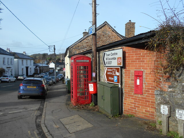
Bampton is a civil parish located in the county of Devon, in the southwest of England. Situated within the picturesque Exmoor National Park, Bampton is a rural area known for its stunning natural beauty and rich history.

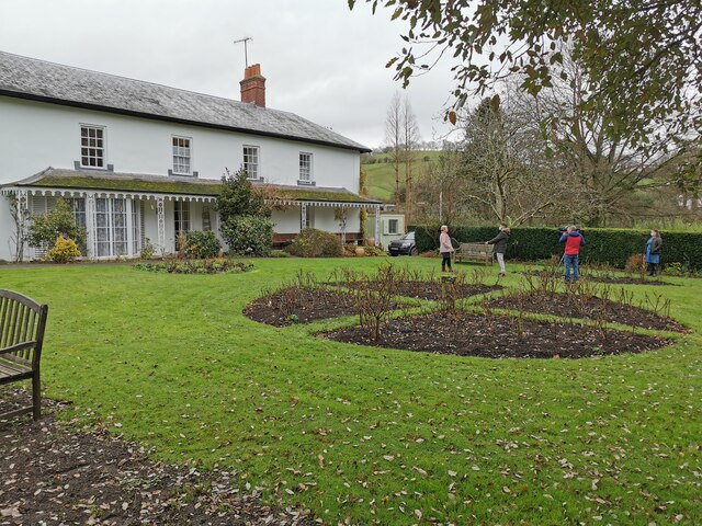
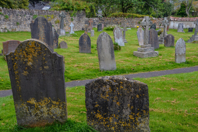
The village of Bampton itself is small but charming, with a population of around 1,200 residents. It is characterized by its traditional thatched-roof houses, narrow winding streets, and a beautiful 15th-century church, St. Michael and All Angels, which serves as a focal point for the community.

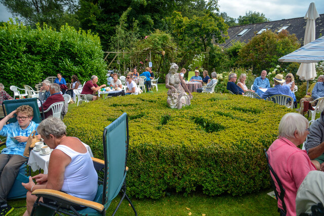
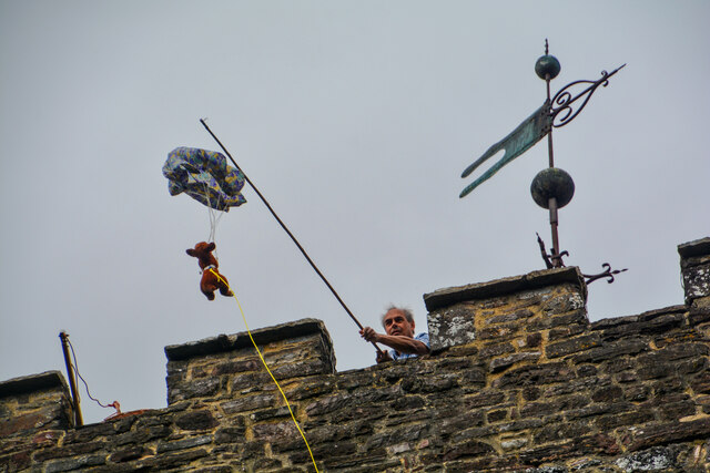
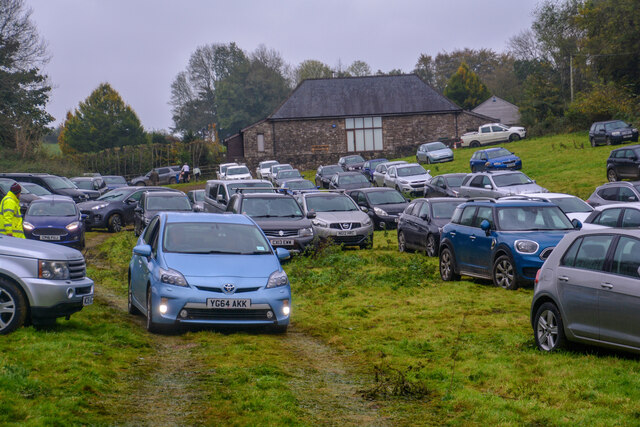
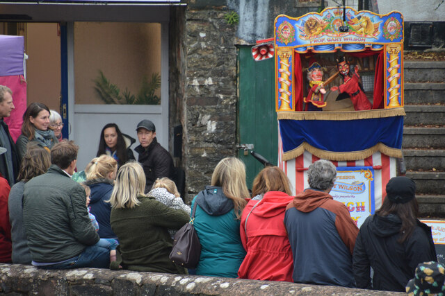
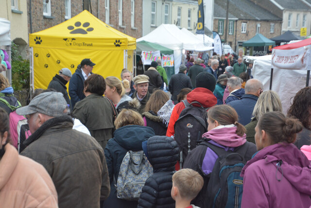
Bampton has a strong sense of community and hosts various events throughout the year, including the popular Bampton Fair, which has been held since the 13th century. The fair showcases traditional crafts, local produce, and livestock, attracting visitors from near and far.

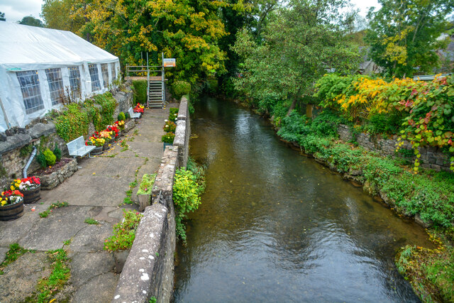
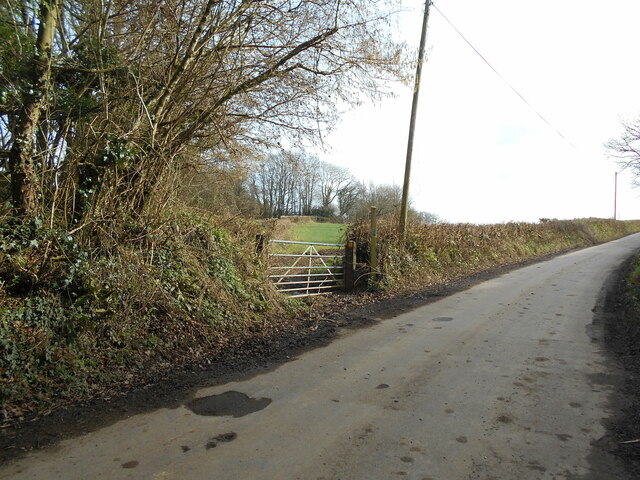
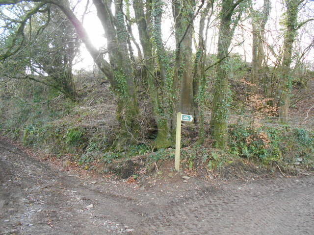
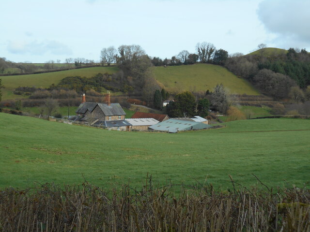
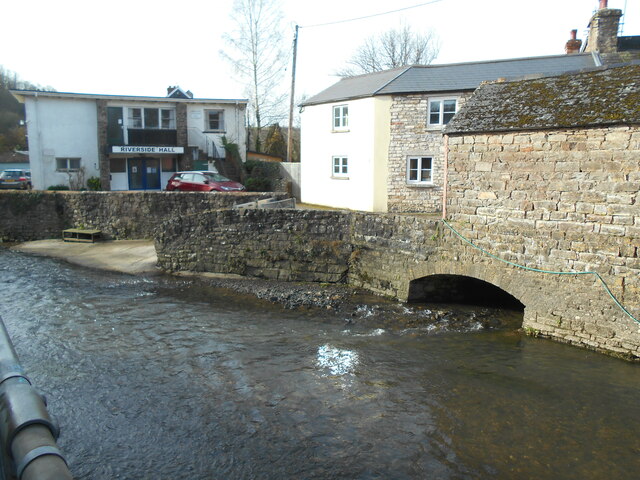
The surrounding countryside offers ample opportunities for outdoor activities, such as hiking, cycling, and horse riding. The nearby River Batherm is a popular spot for fishing and picnicking. Within a short drive, visitors can explore the breathtaking landscapes of Exmoor National Park, with its rolling hills, moorlands, and ancient woodlands.

Bampton is also steeped in history, with evidence of settlement dating back to prehistoric times. The village has several historic buildings, including the National Trust-owned Knightshayes Court, a stunning Victorian Gothic mansion set in beautiful gardens.

Overall, Bampton is a peaceful and idyllic destination, offering a glimpse into rural life in Devon. Whether visitors are seeking outdoor adventures, historical exploration, or simply a tranquil retreat, Bampton has something to offer for everyone.

If you have any feedback on the listing, please let us know in the comments section below.

Bampton Images

Images are sourced within 2km of 50.987353/-3.476695 or Grid Reference SS9621. Thanks to Geograph Open Source API. All images are credited.

Bampton : Castle Grove A nursing home in Bampton.
Bampton : Castle Grove
A nursing home in Bampton.
Bampton : Barnhay Looking along Barnhay in Bampton.
Bampton : Barnhay
Looking along Barnhay in Bampton.
Bampton : Fire Station Bampton Fire Station on Barnhay.
Bampton : Fire Station
Bampton Fire Station on Barnhay.
Bampton : The Old Vicarage Garden A garden at the Old Vicarage.
Bampton : The Old Vicarage Garden
A garden at the Old Vicarage.
Bampton : St Michael's & All Angels Churchyard In the churchyard of St Michael's and All Angels.
Bampton : St Michael's & All Angels Churchyard
In the churchyard of St Michael's and All Angels.
Bampton : St Michael's & All Angels Church A man chucks a teddy off the church tower.
Bampton : St Michael's & All Angels Church
A man chucks a teddy off the church tower.
Bampton : Grassy Field A field being used as a car park for the Bampton Fair.
Bampton : Grassy Field
A field being used as a car park for the Bampton Fair.
Bampton : Bridge Terrace Looking towards a Punch & Judy show taking place on Bridge Terrace.
Bampton : Bridge Terrace
Looking towards a Punch & Judy show taking place on Bridge Terrace.
Bampton : Brook Street Looking along Brook Street on the day of the Bampton Fair.
Bampton : Brook Street
Looking along Brook Street on the day of the Bampton Fair.
Bampton : River Batherm Looking along the River Batherm.
Bampton : River Batherm
Looking along the River Batherm.
A fine pair, Briton Street A K6 telephone box and an Edward VII wall post box.
A Fine Pair is a term used to describe a post and phone box in close proximity to each other. A cache can be found close to them.
A fine pair, Briton Street
A K6 telephone box and an Edward VII wall post box. A Fine Pair is a term used to describe a post and phone box in close proximity to each other. A cache can be found close to them.
Footpath near Kersdown Barn Cutting the corner off a field to join a nearby trackway.
Footpath near Kersdown Barn
Cutting the corner off a field to join a nearby trackway.
Trackway junction near Pipshayne
Pipshayne farm Viewed from a trackway in the South West.
Pipshayne farm
Viewed from a trackway in the South West.
Bridge over the River Batherm At the point where it is crossed by Briton Street.
Bridge over the River Batherm
At the point where it is crossed by Briton Street.
Bampton : Bawdens the Bakers In the back garden of the bakery is a children's play area.
Bampton : Bawdens the Bakers
In the back garden of the bakery is a children's play area.
Bampton : Bawdens the Bakers A garden space at the bakery.
Bampton : Bawdens the Bakers
A garden space at the bakery.
Bampton : Bawdens the Bakers A bakery and cafe.
Bampton : Bawdens the Bakers
A bakery and cafe.
Show me another place!

Bampton is located at Grid Ref: SS9621 (Lat: 50.987353, Lng: -3.476695)

Administrative County: Devon

District: Mid Devon

Police Authority: Devon & Cornwall

What 3 Words

///humid.goodbye.discussed. Near Dulverton, Somerset

Related Wikis

Bampton, Devon

Bampton is a small town and parish in northeast Devon, England, on the River Batherm, a tributary of the River Exe. It is about 6 miles (9.7 km) north...

Bampton Castle, Devon

Bampton Castle in the parish of Bampton, Devon was the seat of the feudal barony of Bampton. It is located on a spur that overlooks the River Batherm....

River Batherm

The River Batherm is a river which flows through Somerset and Devon in England. The river rises on high ground near the village of Sperry Barton, between...

Shillingford, Devon

Shillingford is a village two miles (3 km) northeast of Bampton on the River Batherm in Mid Devon, England, close to the border with West Somerset. It...

Cove, Devon

Cove is a small village in the county of Devon, England. It is 4 miles north of Tiverton and 2 miles from Bampton in the Exe Valley some 450 feet above...

Morebath Junction railway station

Morebath Junction Halt was a railway halt near the junction of the Devon and Somerset Railway and Exe Valley Railway in Devon, South West England. �...

Morebath

Morebath is an upland village in the county of Devon, England. It is mostly given over to sheep-farming, and situated on the southern edge of Exmoor. An...

St George's Church, Morebath

St George's Church, Morebath is a Grade II* listed parish church in the Church of England Diocese of Exeter in Morebath, Devon. It is part of the Hukeley...

Nearby Amenities

Located within 500m of 50.987353,-3.476695
Post Box
Operator: Royal Mail
Operator Wikidata: Q638098
Post Box Type: wall
Ref: EX16 27D
Royal Cypher: EVIIR
Royal Cypher Wikidata: Q33102324
Lat/Long: 50.9889918/-3.4828366
Generator Method: photovoltaic
Generator Output Electricity: yes
Generator Source: solar
Generator Type: solar_photovoltaic_panel
Location: roof
Power: generator
Lat/Long: 50.9877571/-3.4814476
Generator Method: photovoltaic
Generator Output Electricity: yes
Generator Source: solar
Generator Type: solar_photovoltaic_panel
Location: roof
Power: generator
Lat/Long: 50.9877064/-3.481469
Generator Method: photovoltaic
Generator Output Electricity: yes
Generator Source: solar
Generator Type: solar_photovoltaic_panel
Location: roof
Power: generator
Lat/Long: 50.9878482/-3.4818016
Generator Method: photovoltaic
Generator Output Electricity: yes
Generator Source: solar
Generator Type: solar_photovoltaic_panel
Location: roof
Power: generator
Lat/Long: 50.9874987/-3.481587
Generator Method: photovoltaic
Generator Output Electricity: yes
Generator Source: solar
Generator Type: solar_photovoltaic_panel
Location: roof
Power: generator
Lat/Long: 50.9880576/-3.482786
Generator Method: photovoltaic
Generator Output Electricity: yes
Generator Source: solar
Generator Type: solar_photovoltaic_panel
Location: roof
Power: generator
Lat/Long: 50.9878448/-3.4829576
Generator Method: photovoltaic
Generator Output Electricity: yes
Generator Source: solar
Generator Type: solar_photovoltaic_panel
Location: roof
Power: generator
Lat/Long: 50.9899351/-3.4817399
Power: pole
Source: bing
Lat/Long: 50.987432/-3.4776919
Power: pole
Source: bing
Transformer: distribution
Lat/Long: 50.9879613/-3.4759967
Power: pole
Source: bing
Transformer: distribution
Lat/Long: 50.9863117/-3.4756896
Power: pole
Source: bing
Lat/Long: 50.98696/-3.4769797
Power: pole
Source: bing
Lat/Long: 50.9870478/-3.4758183
Power: pole
Source: bing
Lat/Long: 50.9871618/-3.4742895
Power: pole
Source: bing
Lat/Long: 50.9872673/-3.4725165
Power: pole
Source: bing
Lat/Long: 50.9880803/-3.4699738
Power: pole
Source: bing
Lat/Long: 50.9873687/-3.4711432
Power: pole
Source: bing
Lat/Long: 50.9874294/-3.470183
Telephone
Booth: K6
Covered: booth
Listed Status: Grade II
Lat/Long: 50.9889912/-3.4828939
The data included in this document is from www.openstreetmap.org. The data is made available under ODbL.

Have you been to Bampton?

Leave your review of Bampton below (or comments, questions and feedback).