Bamford

Civil Parish in Derbyshire High Peak

England

Bamford

High Neb Trig point at High Neb
High Neb Credit: Shaun Ferguson

Bamford is a civil parish located in the Derbyshire Dales district of Derbyshire, England. Situated in the beautiful Peak District National Park, it is surrounded by stunning natural landscapes and offers a peaceful and picturesque setting for residents and visitors alike.

The village of Bamford is nestled in the Hope Valley, straddling the River Derwent. With a population of around 1,000 people, it is a close-knit community known for its friendly atmosphere and strong community spirit. The parish also includes the hamlets of Thornhill and Shatton.

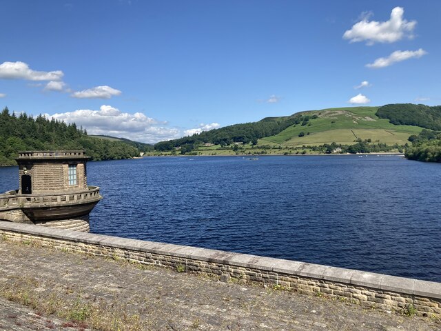
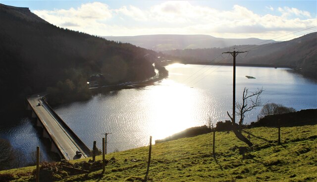
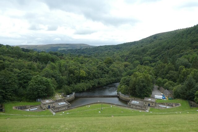
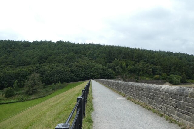
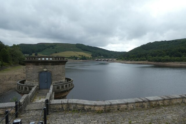
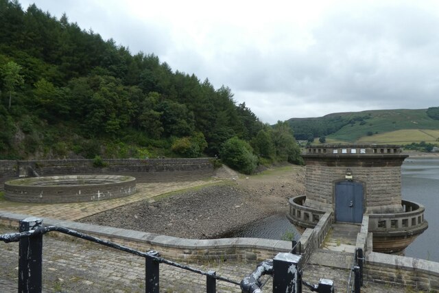
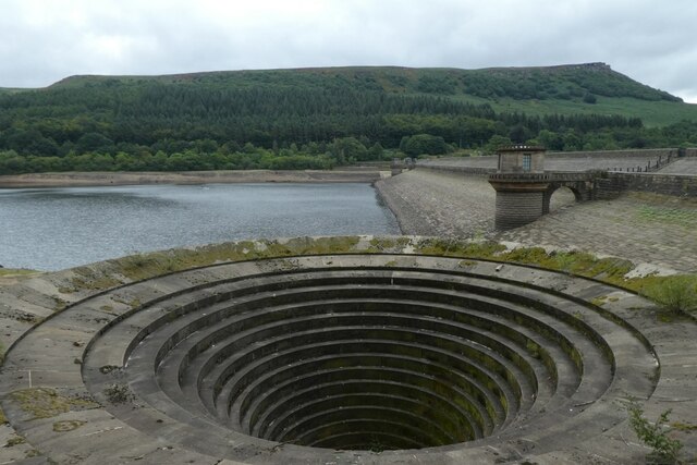
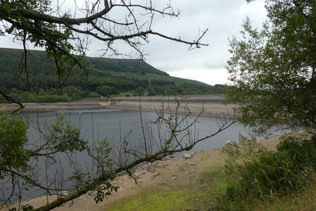
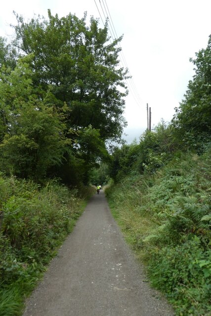
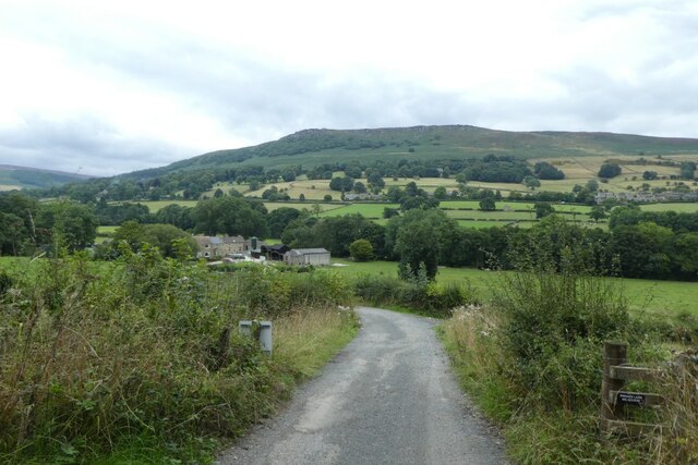
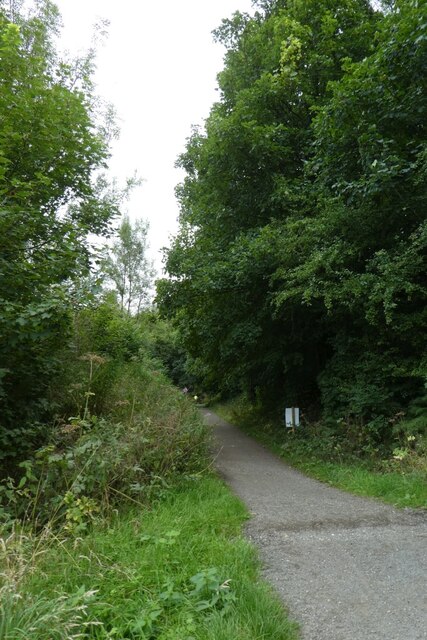
Bamford is a popular destination for outdoor enthusiasts, thanks to its proximity to the Peak District's rugged hills and vast moorlands. The area offers a variety of walking and cycling routes, including the famous Pennine Way and the Monsal Trail, which follows the path of a former railway line. The nearby Ladybower Reservoir is a popular spot for fishing, sailing, and birdwatching.

The village itself boasts a range of amenities, including a primary school, a post office, a village hall, and a selection of shops and pubs. The Bamford Institute, a local community center, hosts a range of activities and events for residents of all ages.

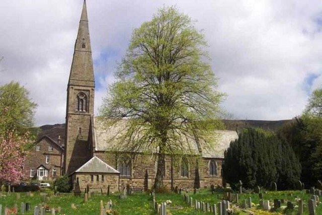
Bamford's rich history is evident in its architecture, with several historic buildings dating back to the 18th and 19th centuries. The Bamford Edge, a gritstone escarpment, offers stunning views of the surrounding countryside and is a popular spot for climbers and hikers.

Overall, Bamford is a charming and picturesque village that offers a peaceful and idyllic lifestyle for its residents, as well as a wealth of outdoor activities for visitors to enjoy.

If you have any feedback on the listing, please let us know in the comments section below.
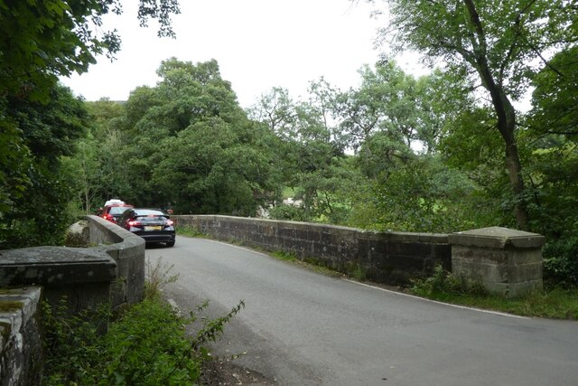
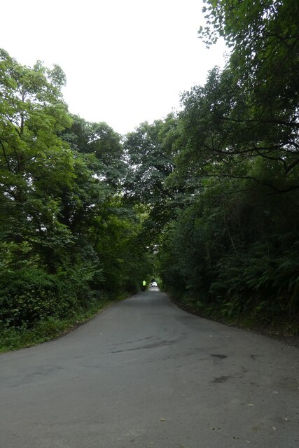
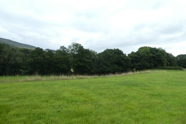
Bamford Images

Images are sourced within 2km of 53.358063/-1.686584 or Grid Reference SK2084. Thanks to Geograph Open Source API. All images are credited.

High Neb Trig point at High Neb
High Neb
Trig point at High Neb
Ladybower reservoir  Ladybower reservoir seen from the reservoir dam. Built between 1935 and 1943 and opened in 1945, it supplies drinking water to the East Midlands via the Bamford water treatment works operated by Severn Trent.
Ladybower reservoir
Ladybower reservoir seen from the reservoir dam. Built between 1935 and 1943 and opened in 1945, it supplies drinking water to the East Midlands via the Bamford water treatment works operated by Severn Trent.
Ladybower Reservoir
Ladybower Reservoir
Ladybower outflow Looking down the dam wall of Ladybower Reservoir.
Ladybower outflow
Looking down the dam wall of Ladybower Reservoir.
Across the dam wall Looking along the dam wall of Ladybower Reservoir. The water levels in the reservoir are pretty low following a prolonged period with little rain.
Across the dam wall
Looking along the dam wall of Ladybower Reservoir. The water levels in the reservoir are pretty low following a prolonged period with little rain.
Control tower along the dam wall Looking across Ladybower Reservoir from the dam wall. The water levels are pretty low following a prolonged period with little rain.
Control tower along the dam wall
Looking across Ladybower Reservoir from the dam wall. The water levels are pretty low following a prolonged period with little rain.
Control tower and outflow Looking across Ladybower Reservoir from the dam wall. The water levels are pretty low following a prolonged period with little rain.
Control tower and outflow
Looking across Ladybower Reservoir from the dam wall. The water levels are pretty low following a prolonged period with little rain.
Outflow on the west side of the dam wall Looking across Ladybower Reservoir from the dam wall. The water levels are pretty low following a prolonged period with little rain.
Outflow on the west side of the dam wall
Looking across Ladybower Reservoir from the dam wall. The water levels are pretty low following a prolonged period with little rain.
Ladybower Reservoir Looking across Ladybower Reservoir from the dam wall. The water levels are pretty low following a prolonged period with little rain.
Ladybower Reservoir
Looking across Ladybower Reservoir from the dam wall. The water levels are pretty low following a prolonged period with little rain.
Bridge over the River Derwent Looking along Lydgate Lane.
Bridge over the River Derwent
Looking along Lydgate Lane.
Junction of Carr Lane and Lydgate Lane Looking down Carr Lane below Ladybower reservoir.
Junction of Carr Lane and Lydgate Lane
Looking down Carr Lane below Ladybower reservoir.
Field beside Carr Lane The River Derwent runs amongst the trees.
Field beside Carr Lane
The River Derwent runs amongst the trees.
Thornhill Trail Looking along a cycle path along the former railway line.
Thornhill Trail
Looking along a cycle path along the former railway line.
Track to Carr Bottom Farm Looking along a track from the Thornhill Trail.
Track to Carr Bottom Farm
Looking along a track from the Thornhill Trail.
Along the Thornhill Trail Looking along the cycle path along the former railway line.
Along the Thornhill Trail
Looking along the cycle path along the former railway line.
Bellmouth at Ladybower Close to the reservoir's huge clay, earth and concrete dam. This bellmouth acts like a plug hole, draining away excess water in times of plenty.
Bellmouth at Ladybower
Close to the reservoir's huge clay, earth and concrete dam. This bellmouth acts like a plug hole, draining away excess water in times of plenty.
At a gateway by Carr Lane
View to Bamford Edge from Carr Lane
Show me another place!

Bamford is located at Grid Ref: SK2084 (Lat: 53.358063, Lng: -1.686584)

Administrative County: Derbyshire

District: High Peak

Police Authority: Derbyshire

What 3 Words

///witless.canal.geese. Near Hathersage, Derbyshire

Nearby Locations

Bamford

Related Wikis

Nearby Amenities

Located within 500m of 53.358063,-1.686584
Barrier: stile
Lat/Long: 53.35547/-1.6921324
Power: pole
Lat/Long: 53.3581939/-1.6938512
Material: wood
Power: pole
Lat/Long: 53.3572288/-1.693647
Material: wood
Power: pole
Lat/Long: 53.3571983/-1.6934469
Power: pole
Lat/Long: 53.3581649/-1.694035
Great Tor (Bamford Moor)
Natural: peak
Lat/Long: 53.3584483/-1.6840997
Barrier: stile
Lat/Long: 53.3566872/-1.6927704
Tourism: viewpoint
Lat/Long: 53.3609278/-1.6899179
The data included in this document is from www.openstreetmap.org. The data is made available under ODbL.

Have you been to Bamford?

Leave your review of Bamford below (or comments, questions and feedback).