Balsham
Civil Parish in Cambridgeshire South Cambridgeshire
England
Balsham
Balsham is a civil parish located in the county of Cambridgeshire, England. It is situated approximately 12 miles southeast of the city of Cambridge. The village is primarily residential and has a population of around 1,300 people.
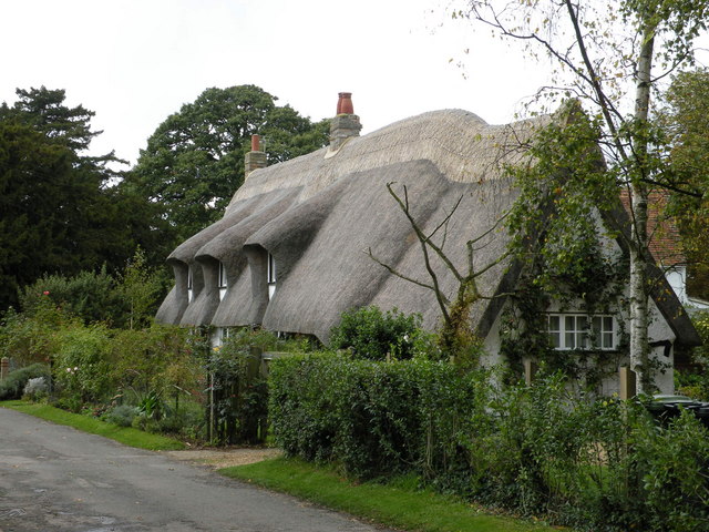
Balsham is known for its picturesque rural setting and is surrounded by beautiful countryside, making it a popular destination for walkers and outdoor enthusiasts. The village is also home to a number of historic buildings and landmarks, including the Grade I listed St Mary's Church, which dates back to the 13th century. The church is a prominent feature in the village and is known for its impressive architecture and stained glass windows.
In terms of amenities, Balsham offers a range of facilities for its residents. These include a primary school, a village hall, a pub, and a post office. The village also has a small selection of shops and businesses, providing essential services to the local community.
Balsham benefits from good transport links, with easy access to the A11 road, which connects the village to Cambridge and other nearby towns. The village is also served by regular bus services, making it convenient for commuting and travel.
Overall, Balsham is a charming and peaceful village in Cambridgeshire, offering a close-knit community, beautiful surroundings, and a range of amenities for its residents.
If you have any feedback on the listing, please let us know in the comments section below.
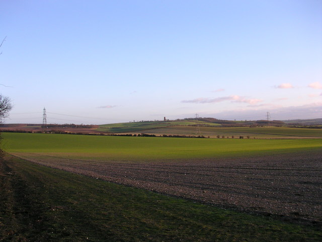
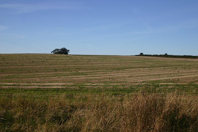
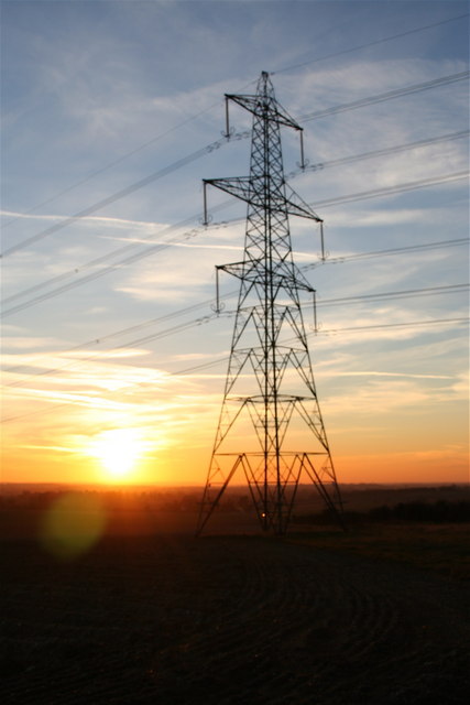
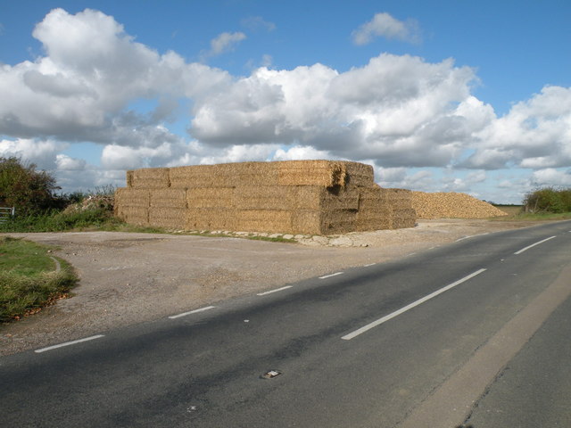
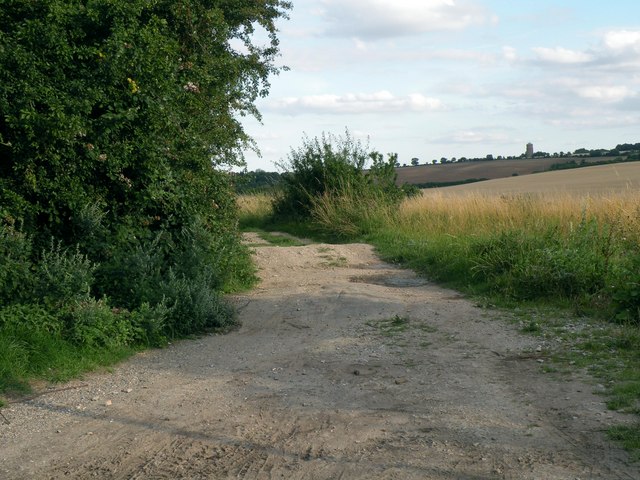
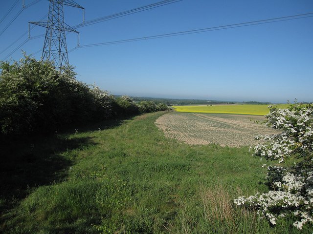
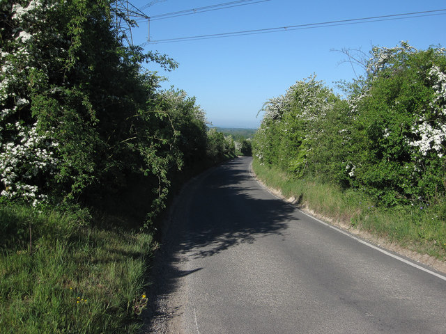
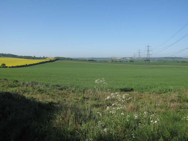
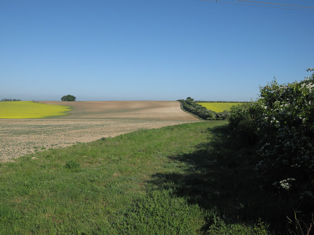
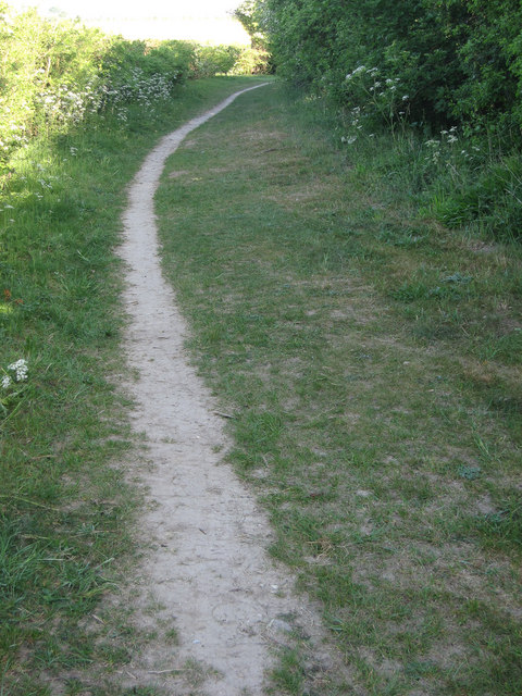
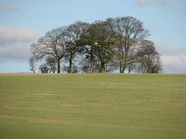
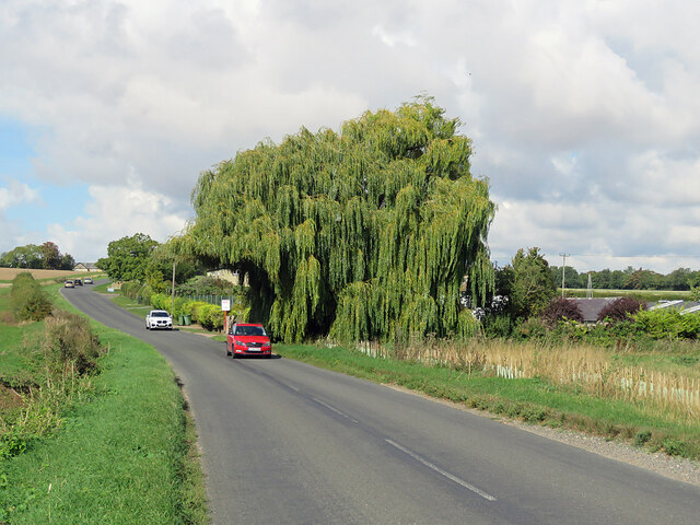
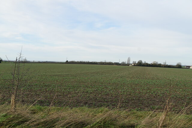
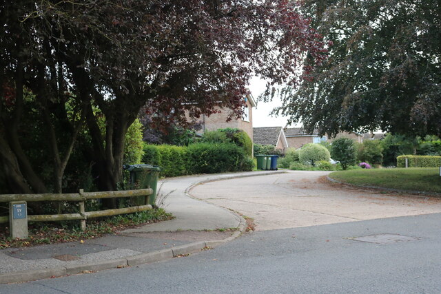
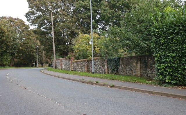
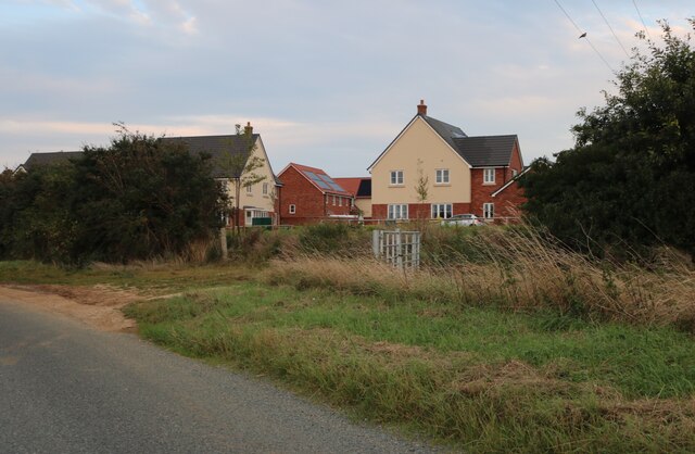
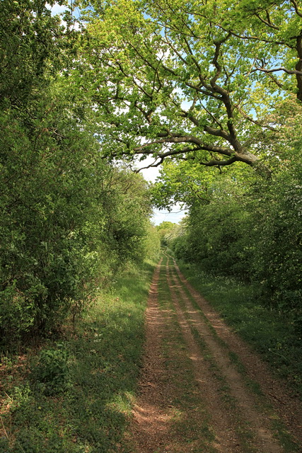
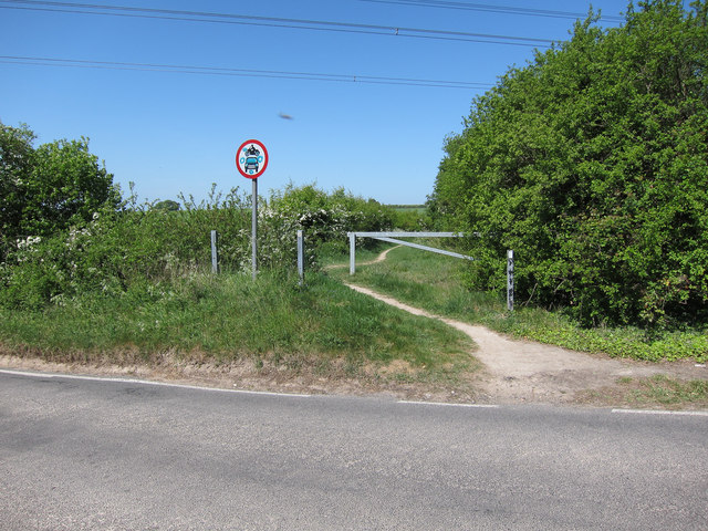
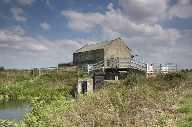
Balsham Images
Images are sourced within 2km of 52.137528/0.286048 or Grid Reference TL5651. Thanks to Geograph Open Source API. All images are credited.
Balsham is located at Grid Ref: TL5651 (Lat: 52.137528, Lng: 0.286048)
Administrative County: Cambridgeshire
District: South Cambridgeshire
Police Authority: Cambridgeshire
What 3 Words
///surpasses.winemaker.waltzes. Near Balsham, Cambridgeshire
Nearby Locations
Related Wikis

South East Cambridgeshire (UK Parliament constituency)
South East Cambridgeshire is a constituency represented in the House of Commons of the UK Parliament since 2015 by Lucy Frazer, a member of the Conservative...
Cambridgeshire Lodes
The Cambridgeshire Lodes are a series of man-made waterways, believed to be Roman in origin, located in the county of Cambridgeshire, England. Bottisham...
Balsham
Balsham is a rural village and civil parish in the county of Cambridgeshire, England, which has much expanded since the 1960s and is now one of several...
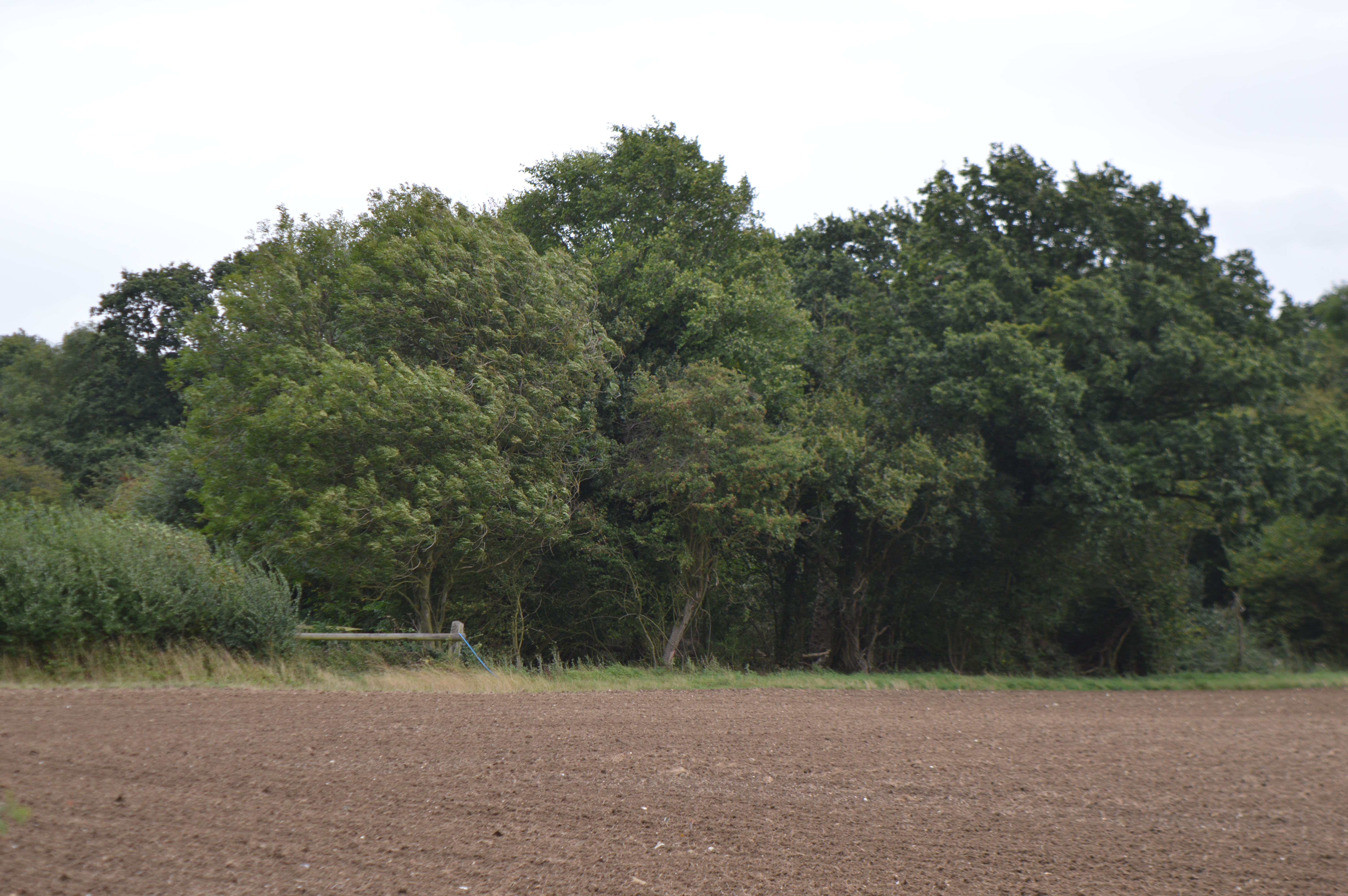
Balsham Wood
Balsham Wood is a 35 hectare biological Site of Special Scientific Interest south of Balsham in Cambridgeshire.This site has one of the last surviving...

Fleam Dyke
Fleam Dyke is a linear earthwork between Fulbourn and Balsham in Cambridgeshire, initiated at some timepoint between AD 330 and AD 510. It is three miles...

Furze Hill SSSI
Furze Hill is a 5.8-hectare (14-acre) biological Site of Special Scientific Interest in three nearby areas east of Hildersham in Cambridgeshire.The site...

Rivey Hill
Rivey Hill is a hill overlooking Linton in Cambridgeshire, England (grid reference TL567480). At 367 feet (112 m) it is the highest point for several miles...

Alder Carr, Hildersham
Alder Carr is a 6.7-hectare biological Site of Special Scientific Interest in Hildersham in Cambridgeshire.The site is a wet valley which has alder on...
Related Videos
Balsham
Filmed at Balsham, Cambridge Film ©Cambridge TV School Ltd 2021. Music used under PRS licence LE-0020204 Cameras: ...
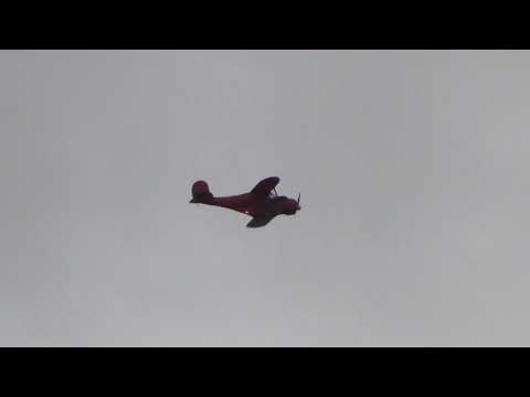
N833CH 1968 Beech D17S Staggerwing biplane heading for Cambridge UK 14aug21 156pm
N833CH 1968 Beech D17S Staggerwing biplane heading for Cambridge UK 14aug21 156pm, Subscribe to my channel & Like ...

Geog Vlog 6 - Bristol Overview
Hello Year 10, What can I say, it's the last video in the Bristol series and depending on how we see over the coming weeks school ...
Hildersham
Filmed at Weston Colville, Cambridge Film ©Cambridge TV School Ltd 2021. Music used under PRS licence LE-0020204 ...
Nearby Amenities
Located within 500m of 52.137528,0.286048Have you been to Balsham?
Leave your review of Balsham below (or comments, questions and feedback).