Balterley
Civil Parish in Staffordshire Newcastle-under-Lyme
England
Balterley
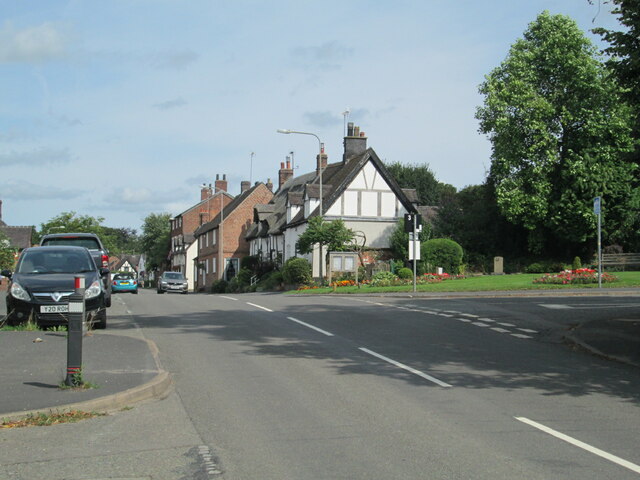
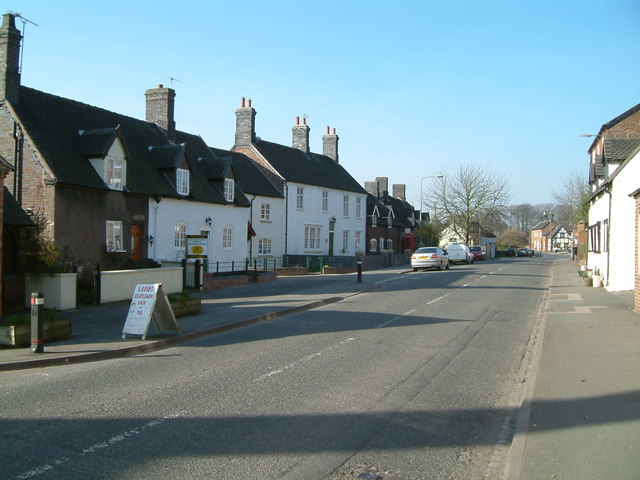
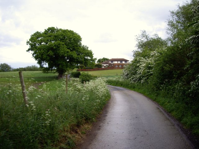
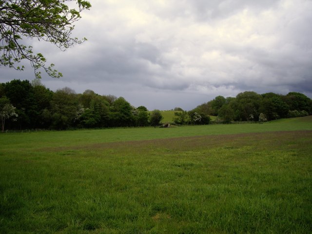
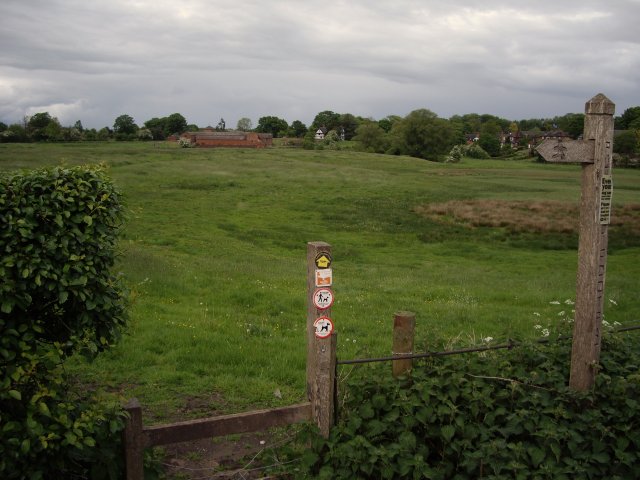
Balterley is a civil parish located in the county of Staffordshire, England. It is situated approximately 5 miles northwest of the town of Newcastle-under-Lyme. The parish covers an area of about 3.5 square miles and is surrounded by beautiful countryside, offering picturesque views and a tranquil environment.
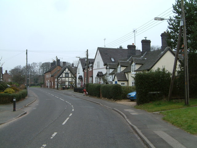
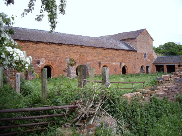
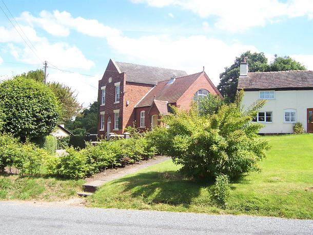
The village of Balterley itself is a small, close-knit community with a population of around 500 residents. It has a charming rural character, with a scattering of traditional stone cottages and farmhouses. The parish is predominantly agricultural, with farming being the primary economic activity.
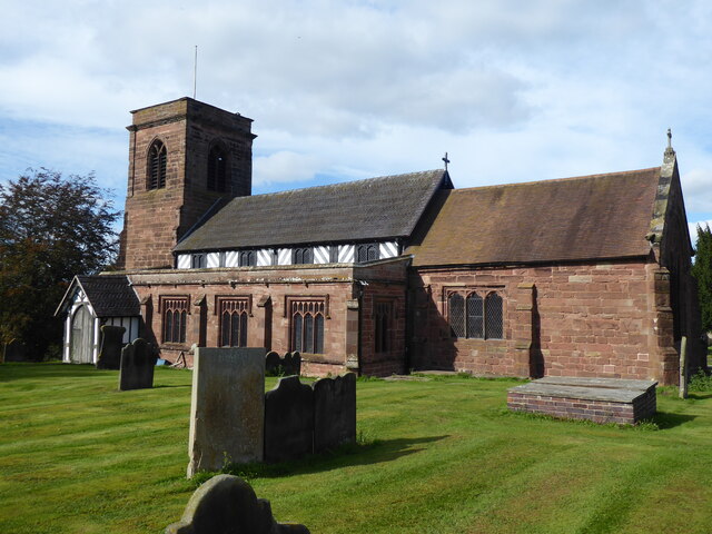
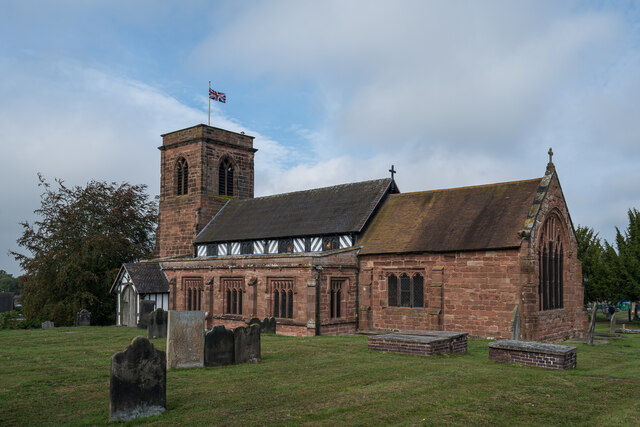
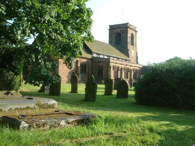
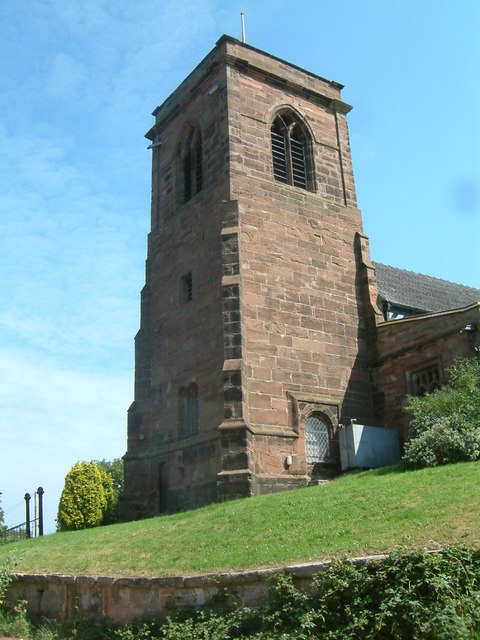
One of the notable features of Balterley is the presence of a historic church, St. John the Evangelist. This Grade II listed building dates back to the 13th century and is known for its stunning architecture and stained glass windows. The church serves as a focal point for the community, hosting regular religious services and community events.
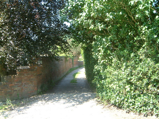
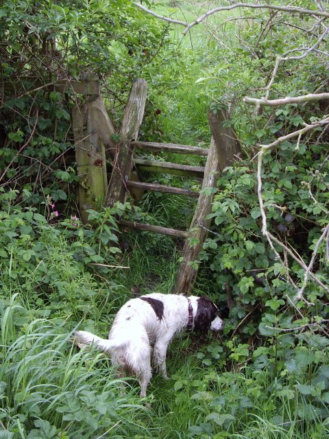
Balterley is also blessed with natural attractions, including several scenic walking trails and green spaces. The nearby Balterley Green Farm offers opportunities for outdoor activities such as horse riding and nature walks.
Overall, Balterley is a charming rural parish that offers a peaceful and idyllic lifestyle. It is a place where residents can enjoy the beauty of the countryside while being within easy reach of nearby towns and amenities.
If you have any feedback on the listing, please let us know in the comments section below.
Balterley Images
Images are sourced within 2km of 53.047958/-2.363874 or Grid Reference SJ7550. Thanks to Geograph Open Source API. All images are credited.


Balterley is located at Grid Ref: SJ7550 (Lat: 53.047958, Lng: -2.363874)
Administrative County: Staffordshire
District: Newcastle-under-Lyme
Police Authority: Staffordshire
What 3 Words
///tuck.paddle.surpassed. Near Betley, Staffordshire
Nearby Locations
Related Wikis
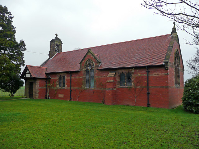
All Saints Church, Balterley
All Saints Church is in the village of Balterley, Staffordshire, England. It is an active Anglican parish church in the deanery of Congleton, the archdeaconry...

Balterley
Balterley is a village and civil parish in the borough of Newcastle-under-Lyme in Staffordshire, England. According to the 2001 census it had a population...
Balterley Green
Balterley Green is a village in Staffordshire, England. The population at the 2011 population can be found under Balterley

Black Firs and Cranberry Bog
Black Firs and Cranberry Bog is a nature reserve of the Staffordshire Wildlife Trust, adjacent to Balterley Heath and about 1 mile (1.6 km) north of the...

Balterley Heath
Balterley Heath is a village in the traditional county of Cheshire, England. It is now part of Balterley in the administrative county of Staffordshire...
Englesea Brook Chapel and Museum
Englesea Brook Chapel and Museum is in the village of Englesea-Brook, Cheshire, England. Built in 1828, the chapel was one of the earliest chapels of...
Englesea-Brook
Englesea-Brook is a small rural village in the unitary authority of Cheshire East and the ceremonial county of Cheshire, England. Located close to Crewe...

Betley
Betley is a village and civil parish in the borough of Newcastle-under-Lyme in Staffordshire, England, about halfway between the town of Newcastle-under...
Nearby Amenities
Located within 500m of 53.047958,-2.363874Have you been to Balterley?
Leave your review of Balterley below (or comments, questions and feedback).