Balne
Civil Parish in Yorkshire Selby
England
Balne

Balne is a civil parish located in the county of Yorkshire, England. It is situated in the district of Selby and lies approximately 16 miles east of the city of Leeds. The parish is small in size, covering an area of around 3 square miles.
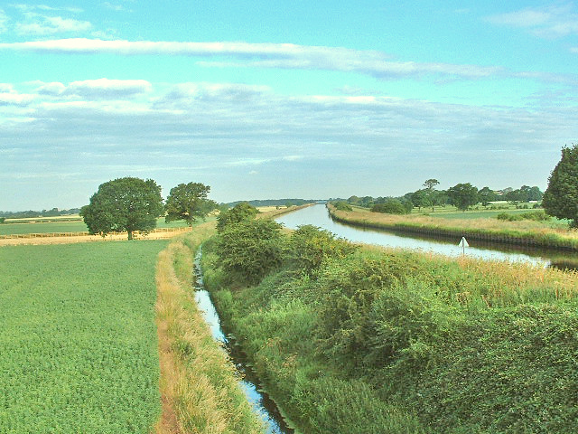
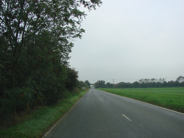
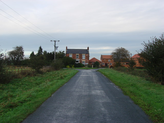
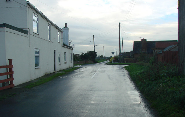
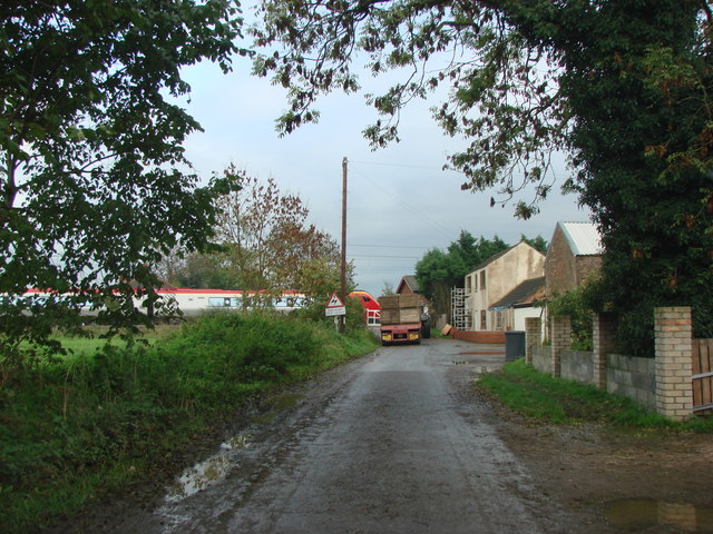
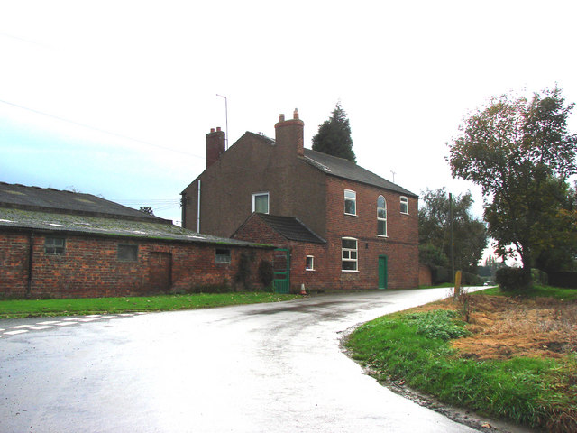
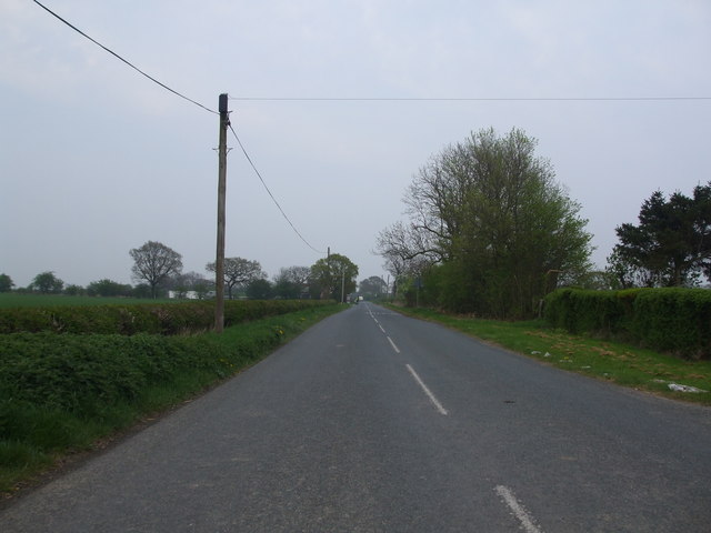
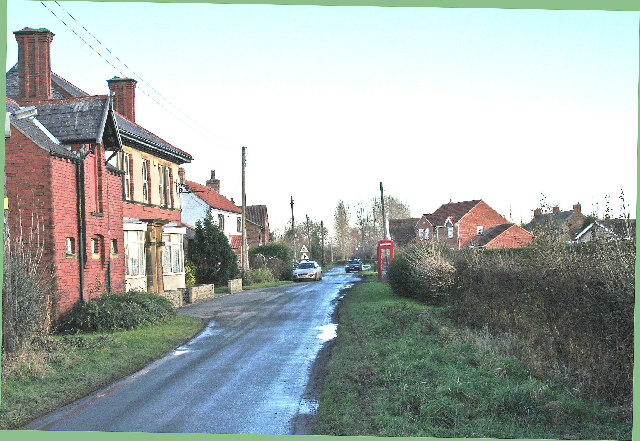
Balne is a rural area characterized by open fields, farmland, and scattered residential properties. The landscape is flat, typical of the surrounding Yorkshire lowlands. The parish is bordered by the A19 road to the east, which provides convenient access to nearby towns and cities.
The population of Balne is relatively small, with just over 200 residents according to the latest census data. The community is close-knit and tends to be predominantly made up of families and individuals who enjoy the tranquility and peacefulness of rural living.
Although Balne itself does not have many amenities, there are several nearby villages and towns that provide essential services and facilities. The parish is within easy reach of the town of Selby, which offers a range of shops, schools, and healthcare facilities.
Balne is also surrounded by beautiful countryside, making it a popular destination for outdoor enthusiasts. The area is known for its picturesque walking and cycling routes, with many visitors drawn to the peaceful surroundings and scenic views.
In summary, Balne is a small rural parish in Yorkshire, offering a peaceful countryside setting for its residents and attracting visitors with its natural beauty and outdoor activities.
If you have any feedback on the listing, please let us know in the comments section below.
Balne Images
Images are sourced within 2km of 53.658903/-1.106816 or Grid Reference SE5918. Thanks to Geograph Open Source API. All images are credited.


Balne is located at Grid Ref: SE5918 (Lat: 53.658903, Lng: -1.106816)
Division: West Riding
Administrative County: North Yorkshire
District: Selby
Police Authority: North Yorkshire
What 3 Words
///control.cabs.reporters. Near Fenwick, South Yorkshire
Nearby Locations
Related Wikis

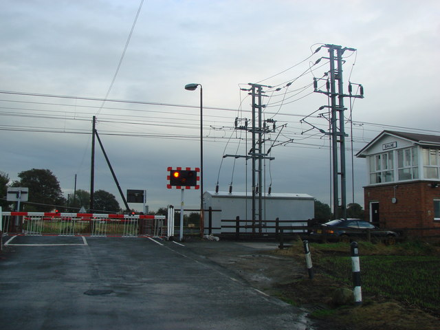
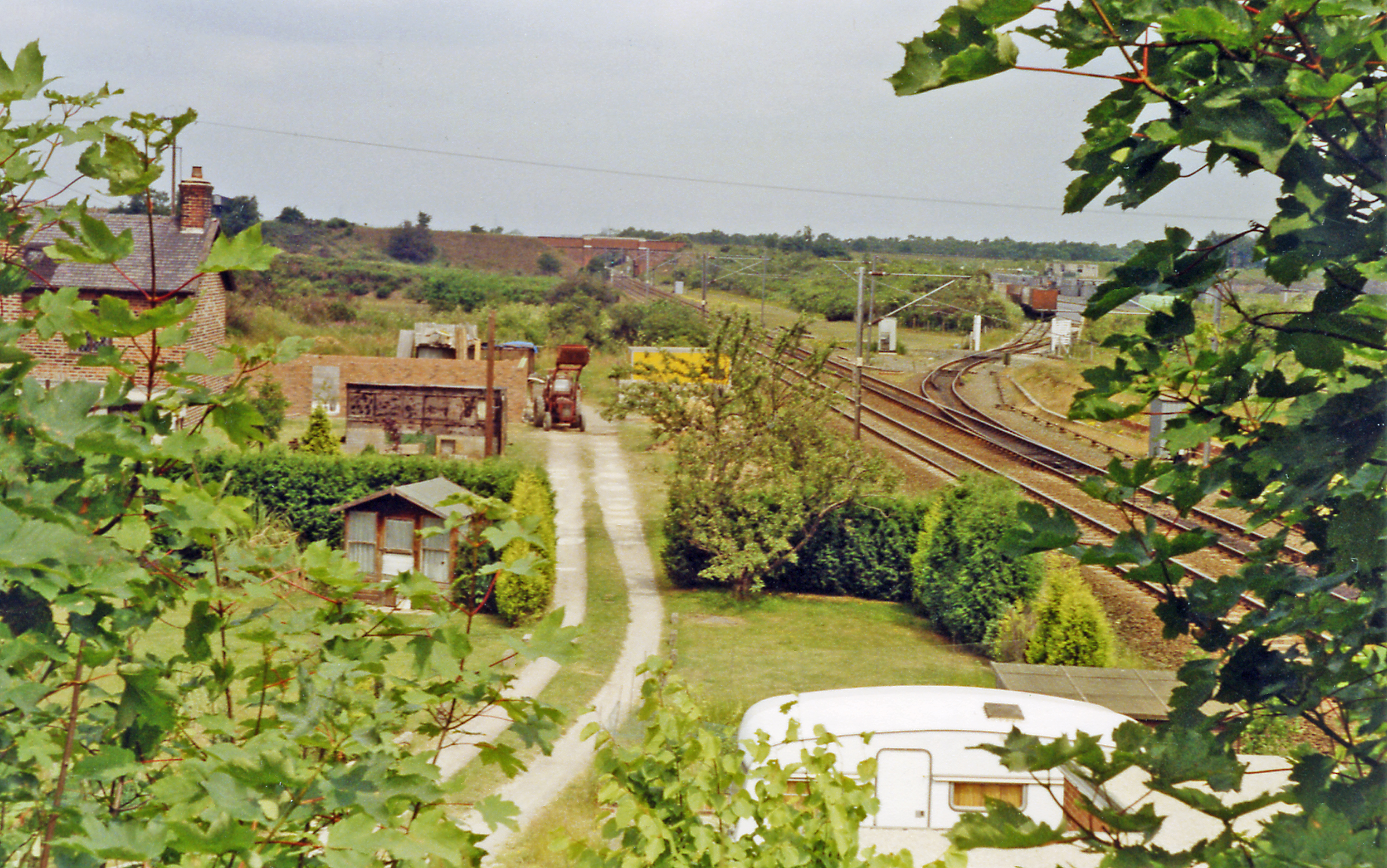
Balne railway station
Balne railway station served the village of Balne, North Yorkshire, England, from 1871 to 1964 on the East Coast Main Line. == History == The station...

Balne
Balne is a village and civil parish in the Selby District of North Yorkshire in England, south of Selby. According to the 2001 census the parish had a...
Pincheon Green
Pincheon Green is a hamlet in the Metropolitan Borough of Doncaster in South Yorkshire, England. It lies in the civil parish of Sykehouse, on the border...
Fenwick, South Yorkshire
Fenwick is a small village and civil parish in the City of Doncaster, South Yorkshire, England, on the border with North Yorkshire. It was part of the...

Pollington
Pollington is a village and civil parish in the East Riding of Yorkshire, England. It is situated approximately 2 miles (3.2 km) south-west of the town...

Great Heck
Great Heck is a small village in Heck parish, about 7 miles (11 km) south of Selby, North Yorkshire, England. The population of the parish was 201 at the...
Heck railway station
Heck railway station served the parish of Heck, North Yorkshire, England from 1871 to 1963 on the East Coast Main Line. == History == The station opened...

Heck, North Yorkshire
Heck is a civil parish in the English county of North Yorkshire. The population of this civil parish at the census 2011 was 201, a slight drop on the 2001...
Nearby Amenities
Located within 500m of 53.658903,-1.106816Have you been to Balne?
Leave your review of Balne below (or comments, questions and feedback).