Ballidon
Civil Parish in Derbyshire Derbyshire Dales
England
Ballidon
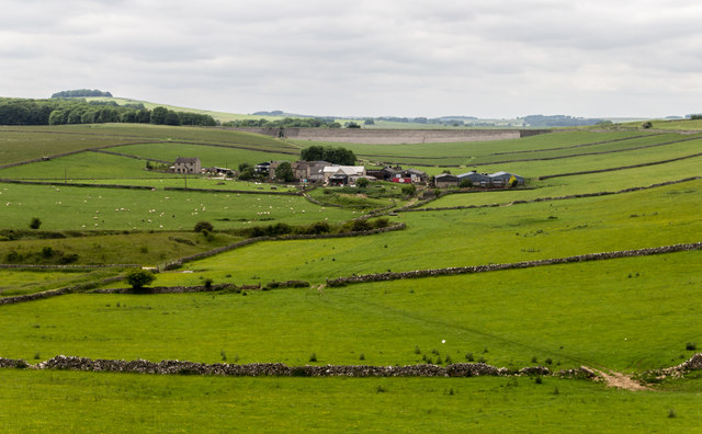
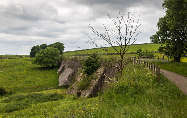
Ballidon is a civil parish located in the county of Derbyshire, England. Situated in the Peak District National Park, it covers an area of approximately 3.5 square kilometers. The parish is nestled between the towns of Ashbourne and Wirksworth, and is surrounded by picturesque countryside.
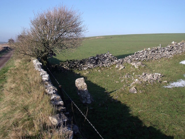
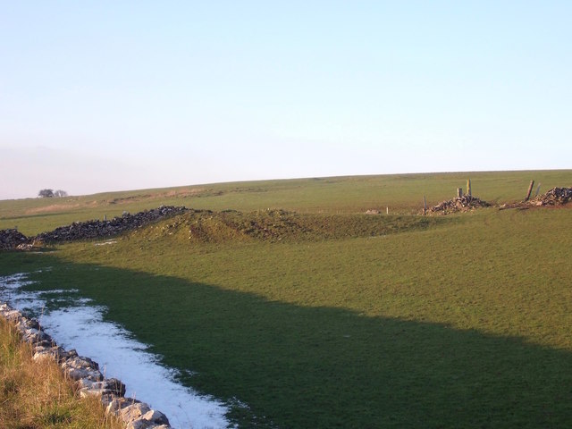
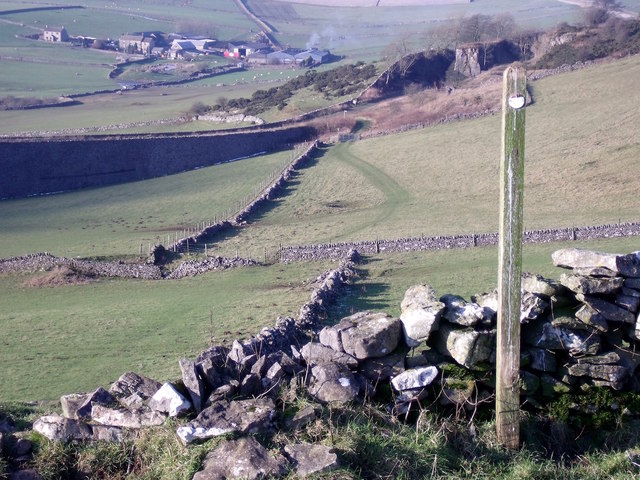
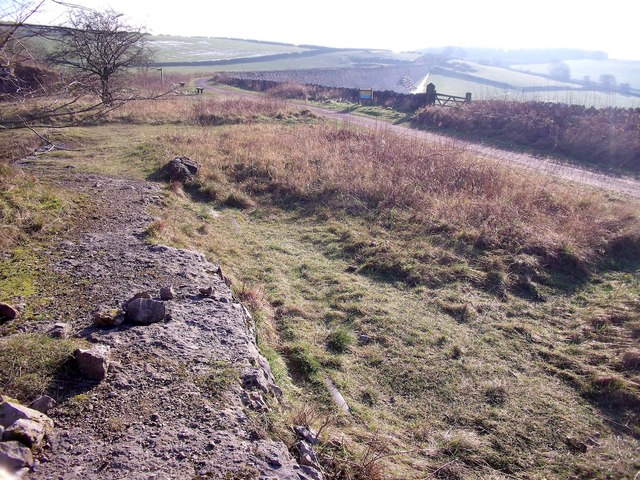
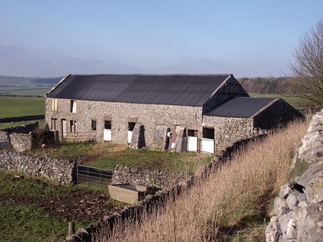
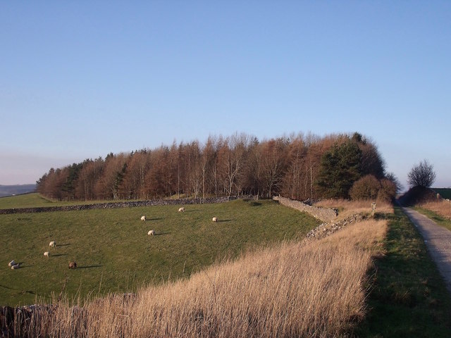
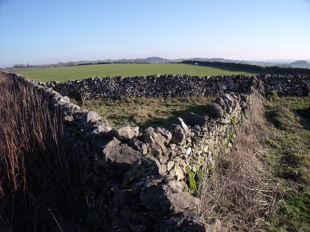
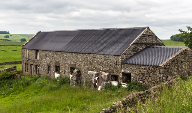
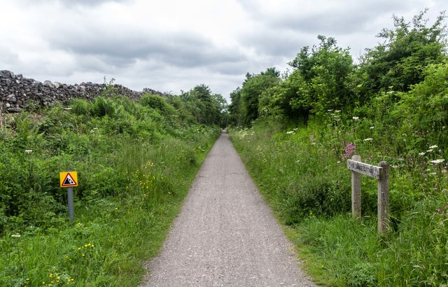
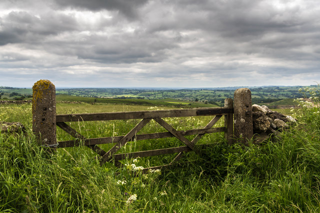
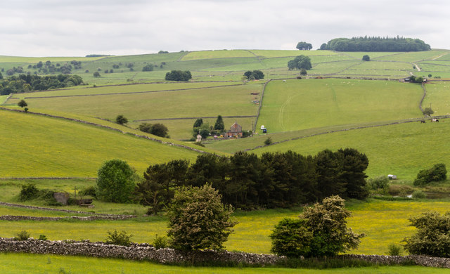
Ballidon is a small and tranquil village with a population of around 100 residents. It is known for its rural charm and unspoiled landscapes, making it an attractive destination for nature lovers and outdoor enthusiasts. The parish is predominantly agricultural, with rolling hills and fields dotted with traditional stone-built farmhouses.
The village itself is characterized by a scattering of quaint cottages and farmsteads, some of which date back to the 17th century. The local church, dedicated to St. John the Baptist, is a prominent feature in the area and adds to the village's historic charm. The parish also has a community hall which serves as a hub for social gatherings and events.
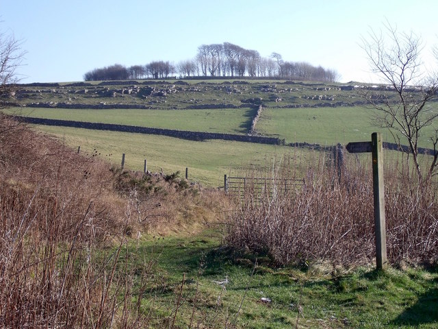
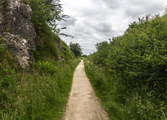
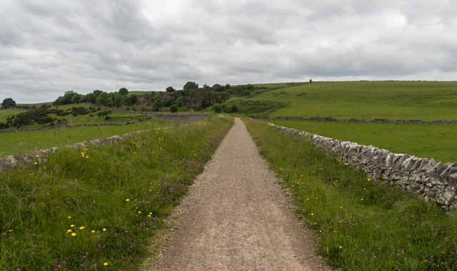
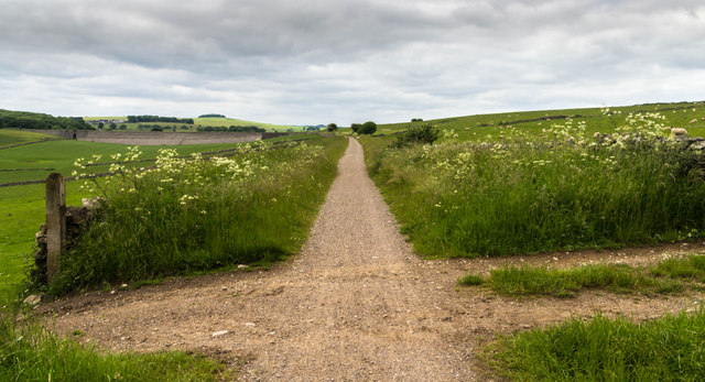
While there are no shops or amenities within the village, residents have easy access to nearby towns for their everyday needs. The surrounding countryside offers numerous opportunities for outdoor activities such as hiking, cycling, and horse riding. The area is also rich in wildlife, with several nature reserves located nearby.
Overall, Ballidon is a peaceful and idyllic village that offers a true taste of rural life in the heart of Derbyshire's stunning landscape.
If you have any feedback on the listing, please let us know in the comments section below.
Ballidon Images
Images are sourced within 2km of 53.102248/-1.698588 or Grid Reference SK2056. Thanks to Geograph Open Source API. All images are credited.
Ballidon is located at Grid Ref: SK2056 (Lat: 53.102248, Lng: -1.698588)
Administrative County: Derbyshire
District: Derbyshire Dales
Police Authority: Derbyshire
What 3 Words
///founders.bravest.unfounded. Near Newhaven, Derbyshire
Nearby Locations
Related Wikis
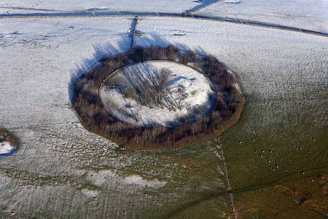
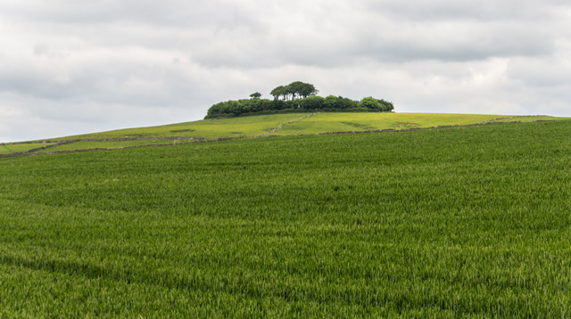
Minninglow
Minninglow (or Minning Low) is a hill in the Peak District National Park in Derbyshire, located within the White Peak area at grid reference SK209573....

Ballidon
Ballidon is a village and civil parish in the Derbyshire Dales district of Derbyshire, England, on the edge of the Peak District National Park. According...
All Saints Church, Ballidon
All Saints Church is a redundant Anglican church located to the south of the village of Ballidon, Derbyshire, England. It is recorded in the National...

Ballidon Dale
Ballidon Dale is a steep-sided, dry carboniferous limestone valley near Parwich in the Derbyshire Peak District of England. The ancient hamlet of Ballidon...
Parwich
Parwich is a village and parish in the Derbyshire Dales, 7 miles north of Ashbourne. In the 2011 census the population of the civil parish was 472.Village...

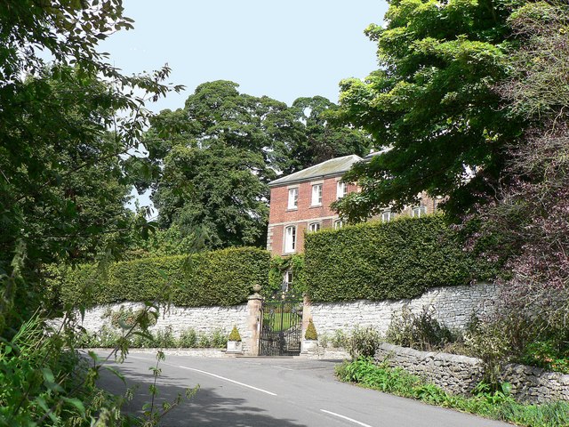
Parwich Hall
Parwich Hall is a privately owned 18th-century mansion house at Parwich, near Ashbourne, Derbyshire Dales. It is a Grade II* listed building.The Manor...

St Peter's Church, Parwich
St Peter’s Church, Parwich is a Grade II* listed parish church in the Church of England in Parwich, Derbyshire. == History == The medieval church was demolished...

Longcliffe
Longcliffe is a crossroads hamlet in the English county of Derbyshire. It lies on the B5056 road where it is crossed by the Brassington-Elton road. The...
Nearby Amenities
Located within 500m of 53.102248,-1.698588Have you been to Ballidon?
Leave your review of Ballidon below (or comments, questions and feedback).