Bagby
Civil Parish in Yorkshire Hambleton
England
Bagby

Bagby is a civil parish located in the county of Yorkshire, England. Situated approximately 3 miles to the southwest of the market town of Thirsk, Bagby is a small and picturesque village that offers residents and visitors a tranquil and idyllic setting.
The village is surrounded by beautiful countryside, with rolling hills, lush green fields, and charming woodlands. It is an ideal location for those seeking a peaceful retreat away from the hustle and bustle of city life. Bagby is also within close proximity to the stunning North York Moors National Park, offering residents and visitors ample opportunities for outdoor activities such as hiking, cycling, and wildlife spotting.
Bagby itself is a close-knit community, with a small population residing in a mix of traditional stone-built houses and newer developments. The village is characterized by its quaint and well-maintained appearance, with a village green and a scattering of amenities including a local pub, a primary school, and a village hall. These facilities serve as focal points for community gatherings and events.
The village enjoys good transport links, with easy access to the A19 and A168 roads, connecting Bagby to nearby towns and cities such as York, Leeds, and Middlesbrough. The closest railway station is in Thirsk, providing further connectivity to major cities across the country.
Overall, Bagby offers a peaceful and picturesque lifestyle, making it an attractive place to live for those seeking a rural retreat in the heart of Yorkshire.
If you have any feedback on the listing, please let us know in the comments section below.
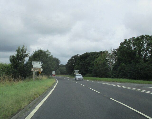
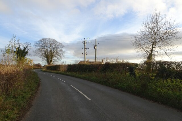
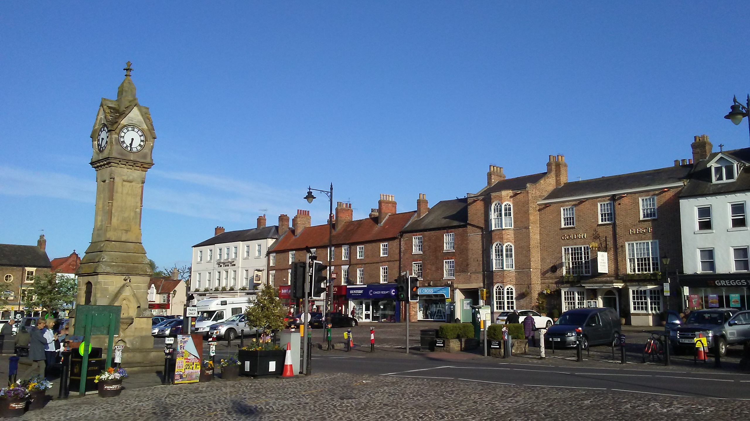
Bagby Images
Images are sourced within 2km of 54.217632/-1.301501 or Grid Reference SE4580. Thanks to Geograph Open Source API. All images are credited.


Bagby is located at Grid Ref: SE4580 (Lat: 54.217632, Lng: -1.301501)
Division: North Riding
Administrative County: North Yorkshire
District: Hambleton
Police Authority: North Yorkshire
What 3 Words
///removing.charted.seeing. Near Thirsk, North Yorkshire
Nearby Locations
Related Wikis

Bagby
Bagby is a village and civil parish in the former Hambleton District of North Yorkshire, England, 3 miles (5 km) south-east of Thirsk. The parish had a...

Thirkleby Hall
Thirkleby Hall was a large 18th-century country house in Great Thirkleby in the Hambleton hills of North Yorkshire. It was demolished in 1927. == History... ==

Balk, North Yorkshire
Balk is a hamlet and civil parish in the Hambleton district of North Yorkshire, England, just east of Thirsk. In the 2001 census the parish had a population...

Sowerby, North Yorkshire
Sowerby () is a village, electoral ward and civil parish in the Hambleton District of North Yorkshire, England immediately south of the neighbouring market...

Thirkleby High and Low with Osgodby
Thirkleby High and Low with Osgodby is a civil parish in North Yorkshire, England. The constituents of the parish consist of the villages of Great Thirkleby...

St Oswald's Church, Sowerby
St Oswald's Church is a Church of England parish church in Sowerby, North Yorkshire, England. It is named after Oswald of Northumbria. == History == The...

Thirsk School and Sixth Form College
Thirsk School and Sixth Form College is a secondary school located in Sowerby, a village adjoining Thirsk, North Yorkshire, England. Thirsk School has...
Thirsk
Thirsk is a market town and civil parish in North Yorkshire, England; it is known for its racecourse, quirky yarn bombing displays and depiction as local...
Nearby Amenities
Located within 500m of 54.217632,-1.301501Have you been to Bagby?
Leave your review of Bagby below (or comments, questions and feedback).