Bagby Grange
Settlement in Yorkshire Hambleton
England
Bagby Grange

Bagby Grange is a picturesque village located in the county of Yorkshire, England. Situated in the Hambleton district, it is surrounded by rolling countryside, offering breathtaking views of the Yorkshire Dales National Park to the west. The village is part of the wider Bagby and Balk parish and is approximately 4 miles north of the market town of Thirsk.
Bagby Grange is known for its peaceful and idyllic setting, making it a popular destination for those seeking a tranquil retreat. The village is characterized by traditional stone-built houses, with charming gardens and well-maintained streets. The community is close-knit and friendly, with a strong sense of pride in their village.
The heart of Bagby Grange is its historic church, St. Mary's, which dates back to the 12th century. This beautiful place of worship attracts visitors from near and far, with its stunning architecture and peaceful atmosphere. The village also boasts a local pub, The Grange Inn, where residents and visitors can enjoy a pint of real ale and hearty pub food.
Surrounded by picturesque countryside, Bagby Grange offers plenty of opportunities for outdoor activities. The nearby Yorkshire Dales provide ample hiking and cycling trails, allowing visitors to explore the stunning landscapes and take in the fresh country air. Additionally, the village is conveniently located near attractions such as the Thirsk Museum and the World of James Herriot, making it an ideal base for exploring the wider area.
Overall, Bagby Grange is a charming and peaceful village, offering a slice of rural heaven in the heart of Yorkshire.
If you have any feedback on the listing, please let us know in the comments section below.
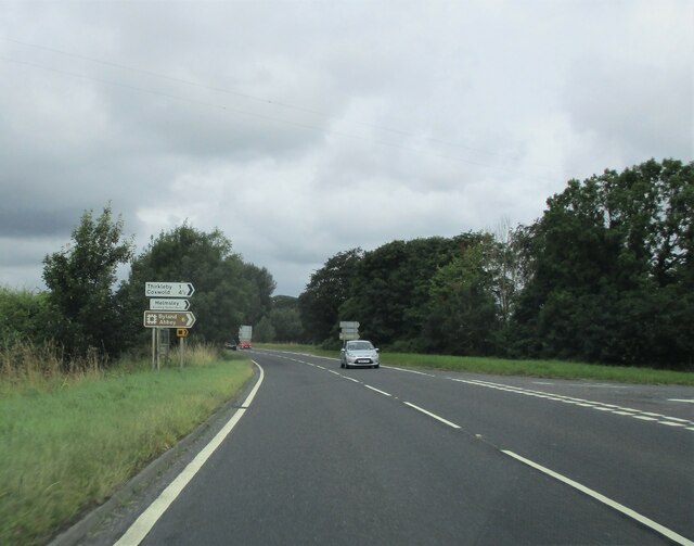
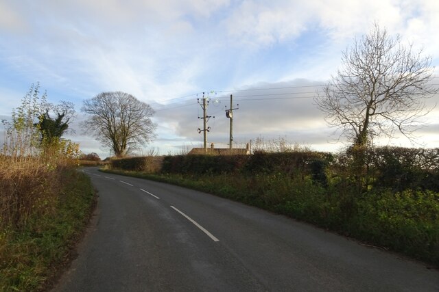
Bagby Grange Images
Images are sourced within 2km of 54.213766/-1.3114702 or Grid Reference SE4580. Thanks to Geograph Open Source API. All images are credited.


Bagby Grange is located at Grid Ref: SE4580 (Lat: 54.213766, Lng: -1.3114702)
Division: North Riding
Administrative County: North Yorkshire
District: Hambleton
Police Authority: North Yorkshire
What 3 Words
///nylon.thinkers.recliner. Near Thirsk, North Yorkshire
Nearby Locations
Related Wikis

Bagby
Bagby is a village and civil parish in the former Hambleton District of North Yorkshire, England, 3 miles (5 km) south-east of Thirsk. The parish had a...

Sowerby, North Yorkshire
Sowerby () is a village, electoral ward and civil parish in the Hambleton District of North Yorkshire, England immediately south of the neighbouring market...

Thirkleby Hall
Thirkleby Hall was a large 18th-century country house in Great Thirkleby in the Hambleton hills of North Yorkshire. It was demolished in 1927. == History... ==

St Oswald's Church, Sowerby
St Oswald's Church is a Church of England parish church in Sowerby, North Yorkshire, England. It is named after Oswald of Northumbria. == History == The...
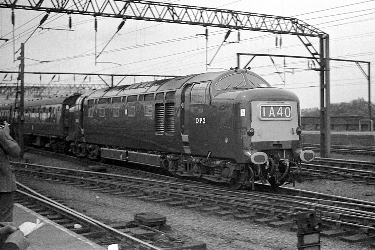
1967 Thirsk rail crash
The Thirsk rail crash occurred on 31 July 1967 at Thirsk, Yorkshire, England on the British Rail East Coast Main Line. == Events == The 12:00 1A26 express...

Thirsk School and Sixth Form College
Thirsk School and Sixth Form College is a secondary school located in Sowerby, a village adjoining Thirsk, North Yorkshire, England. Thirsk School has...

Ritz Cinema, Thirsk
The Ritz Cinema on Westgate, Sowerby, North Yorkshire, England is a small (180 seat) cinema run by volunteers. The building was originally the Mechanics...

Thirsk and Sowerby Town Hall
Thirsk and Sowerby Town Hall is a municipal building in Westgate, Sowerby, North Yorkshire, England. Although it is commonly described as being in Thirsk...
Nearby Amenities
Located within 500m of 54.213766,-1.3114702Have you been to Bagby Grange?
Leave your review of Bagby Grange below (or comments, questions and feedback).