Baddesley Ensor

Civil Parish in Warwickshire North Warwickshire

England

Baddesley Ensor

Essar petrol station on Watling Street, Dordon
Essar petrol station on Watling Street, Dordon Credit: David Howard

Baddesley Ensor is a civil parish located in the county of Warwickshire in central England. It is situated approximately 13 miles northeast of Coventry and 6 miles northwest of Nuneaton. The parish covers an area of about 4 square miles and is home to a population of around 2,500 people.

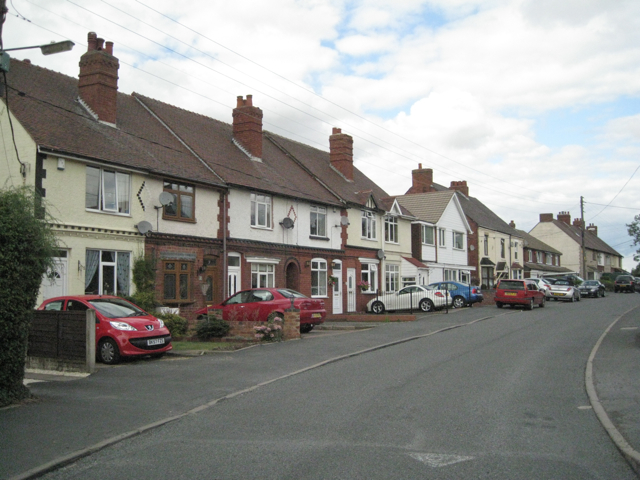
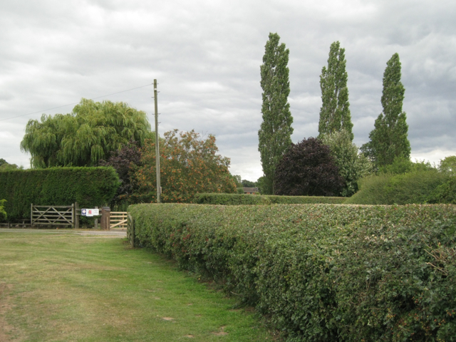
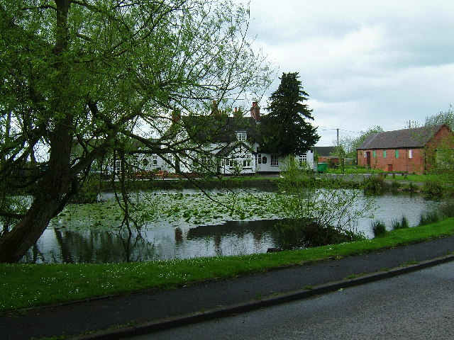
The village of Baddesley Ensor is the main settlement within the civil parish. It is a quiet and picturesque village, with a mix of traditional cottages and modern houses. The village has a close-knit community, with several local amenities including a primary school, village hall, and a small number of shops and pubs.

The area surrounding Baddesley Ensor is largely rural, characterized by rolling countryside and farmland. There are also several small woodland areas and nature reserves nearby, offering opportunities for outdoor activities such as walking and bird-watching.

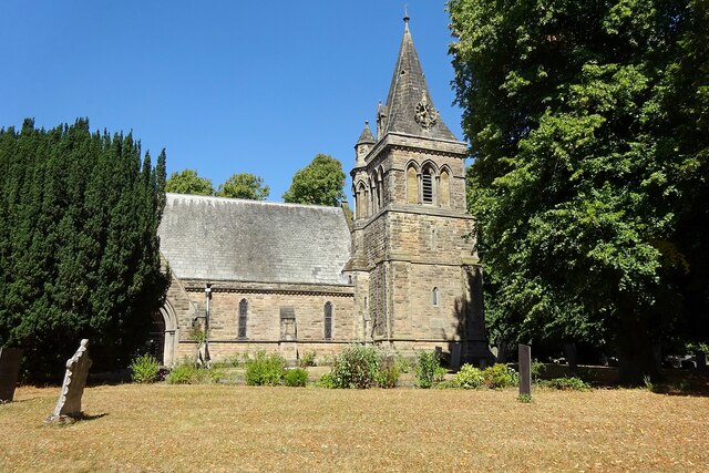
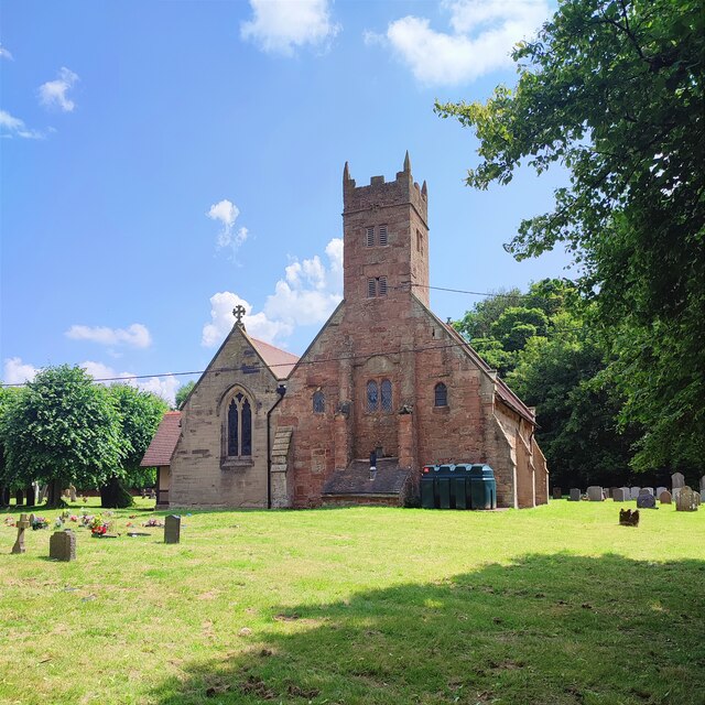
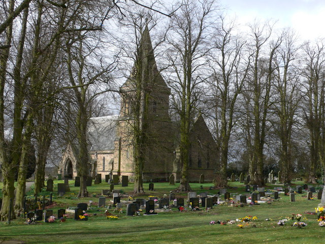
The history of Baddesley Ensor can be traced back to medieval times, and the village has several historical landmarks. One notable example is Baddesley Clinton, a moated manor house located just outside the village. It is a National Trust property and is open to the public, attracting visitors from both near and far.

Overall, Baddesley Ensor is a peaceful and picturesque civil parish in Warwickshire, offering a rural lifestyle with convenient access to nearby towns and cities. It is known for its community spirit, historical attractions, and beautiful natural surroundings.

If you have any feedback on the listing, please let us know in the comments section below.

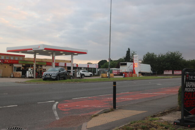
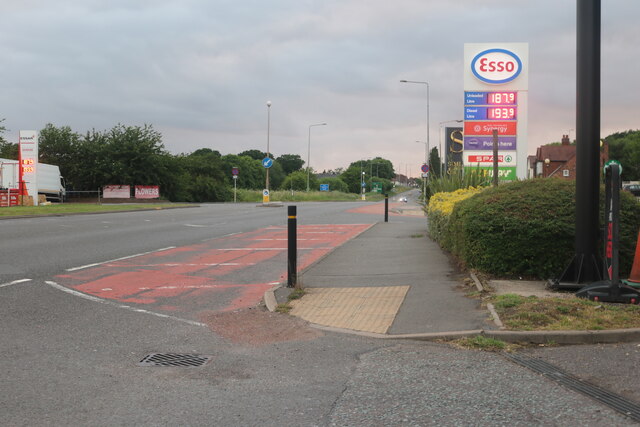
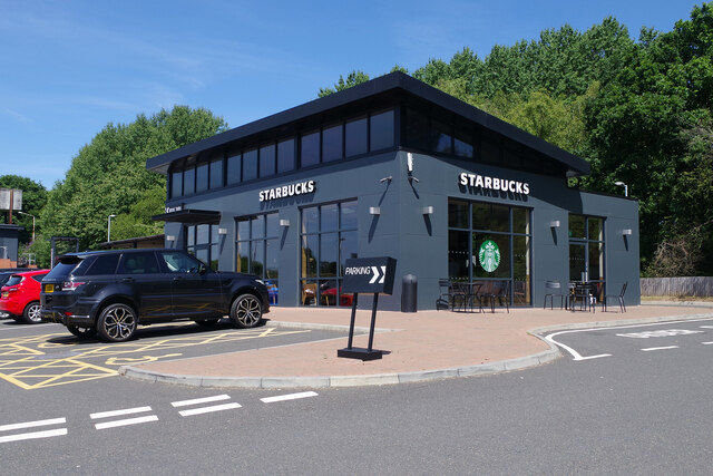
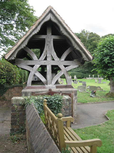
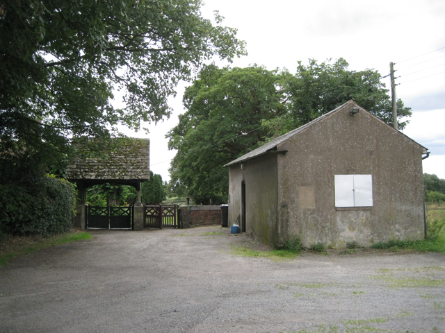
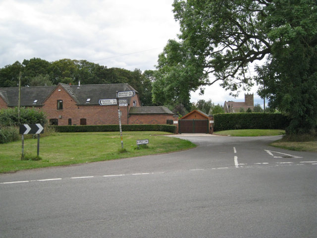
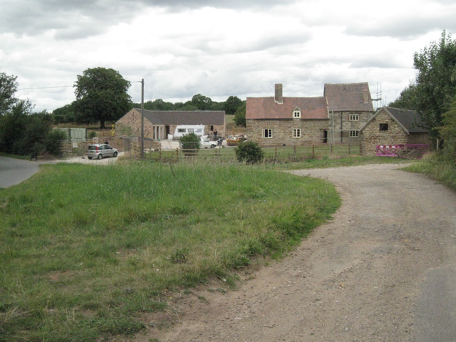
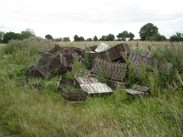
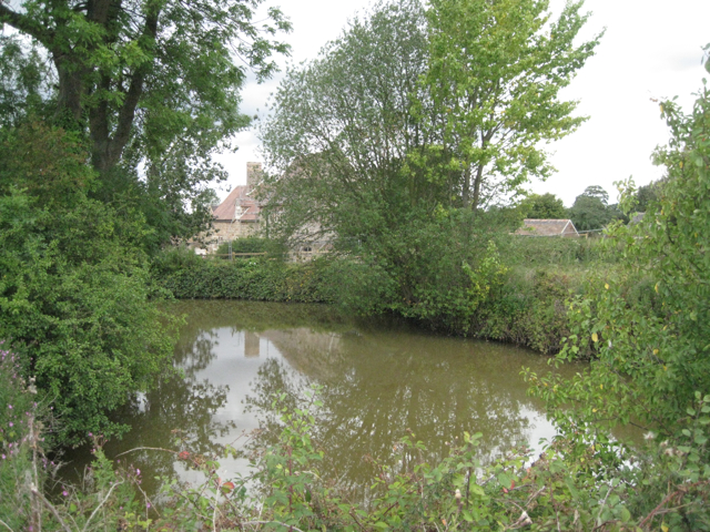
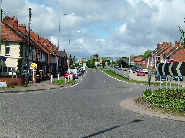
Baddesley Ensor Images

Images are sourced within 2km of 52.583962/-1.612774 or Grid Reference SP2698. Thanks to Geograph Open Source API. All images are credited.

Essar petrol station on Watling Street, Dordon
Watling Street, Dordon
Starbucks, Dordon Dordon has acquired a Starbucks coffee house in this striking building at the rear of the Centurion Service Station site.
Starbucks, Dordon
Dordon has acquired a Starbucks coffee house in this striking building at the rear of the Centurion Service Station site.
Baddesley Ensor Church St Nicholas.
Baddesley Ensor Church
St Nicholas.
Baxterley Church
Baxterley Church
Boulters Lane, Wood End CV9  This village in north Arden is rather different from its southern Arden namesake in SP1071.
Boulters Lane, Wood End CV9
This village in north Arden is rather different from its southern Arden namesake in SP1071.
Remains of a railway footbridge, Birch Coppice  The four supports of the bridge can be seen among the scrub woodland that is growing up on the trackbed of the disused Kingsbury branch line. The footbridge is on a direct route between the village of Wood End and the former Birch Coppice colliery. The disused railway is walkable although it is not a public right of way.
Remains of a railway footbridge, Birch Coppice
The four supports of the bridge can be seen among the scrub woodland that is growing up on the trackbed of the disused Kingsbury branch line. The footbridge is on a direct route between the village of Wood End and the former Birch Coppice colliery. The disused railway is walkable although it is not a public right of way.
Birmingham Intermodal Freight Terminal, Birch Coppice See <a href="https://www.geograph.org.uk/photo/603341">SP2599 : Birmingham Intermodal Freight Terminal</a> This view is from the disused railway line to the south. In the background is the landscaped hill of spoil from the former Birch Coppice colliery. <span class="nowrap"><a title="http://www.roadways.co.uk/images/gallery/Birmingham-freight-terminal.jpg" rel="nofollow ugc noopener" href="http://www.roadways.co.uk/images/gallery/Birmingham-freight-terminal.jpg">Link</a><img style="margin-left:2px;" alt="External link" title="External link - shift click to open in new window" src="https://s1.geograph.org.uk/img/external.png" width="10" height="10"/></span>
Birmingham Intermodal Freight Terminal, Birch Coppice
See SP2599 : Birmingham Intermodal Freight Terminal This view is from the disused railway line to the south. In the background is the landscaped hill of spoil from the former Birch Coppice colliery. LinkExternal link
Ornamental trees near Hipsley Farm  The old farm is a still-developing complex of self-catering holiday cottages and apartments.
Ornamental trees near Hipsley Farm
The old farm is a still-developing complex of self-catering holiday cottages and apartments.
Memorials to members of the Redhead family  In Baxterley churchyard it is noticeable how several generations of the same family are buried together.
Memorials to members of the Redhead family
In Baxterley churchyard it is noticeable how several generations of the same family are buried together.
Memorials to members of the Knowles family  In Baxterley churchyard it is noticeable how several generations of the same family are buried together.
This low-level Art Deco style of memorial seems to have appeared in the 1920s and was still being used in the 1950s.
Memorials to members of the Knowles family
In Baxterley churchyard it is noticeable how several generations of the same family are buried together. This low-level Art Deco style of memorial seems to have appeared in the 1920s and was still being used in the 1950s.
Memorials to members of the Glover family  In Baxterley churchyard it is noticeable how several generations of the same family are buried together. The third stone from the left bears the date 1643: the time of the first Civil War.
"The church has a west front and bell turret built by Hugh Glover, son of Robert, burnt as a heretic at Coventry in 1555" — from the 1979 Shell Guide to Warwickshire by Douglas Hickman.
Memorials to members of the Glover family
In Baxterley churchyard it is noticeable how several generations of the same family are buried together. The third stone from the left bears the date 1643: the time of the first Civil War. "The church has a west front and bell turret built by Hugh Glover, son of Robert, burnt as a heretic at Coventry in 1555" — from the 1979 Shell Guide to Warwickshire by Douglas Hickman.
Lychgate, Baxterley parish church
Approach to Baxterley parish church  The building on the right was a schoolroom. A tablet dated 1839 on the far gable wall is inscribed with a phrase from the gospel of St John, 'Feed my lambs'.
Approach to Baxterley parish church
The building on the right was a schoolroom. A tablet dated 1839 on the far gable wall is inscribed with a phrase from the gospel of St John, 'Feed my lambs'.
North end of Hipsley Lane  At its junction with Main Road between Baxterley and Wood End. On the left is a new house called Latimer's Place, with Baxterley parish church in the background.
North end of Hipsley Lane
At its junction with Main Road between Baxterley and Wood End. On the left is a new house called Latimer's Place, with Baxterley parish church in the background.
Green Farm  In course of refurbishment.
Green Farm
In course of refurbishment.
Discarded crop trays near Green Farm
Pond near Green Farm
Show me another place!

Baddesley Ensor is located at Grid Ref: SP2698 (Lat: 52.583962, Lng: -1.612774)

Administrative County: Warwickshire

District: North Warwickshire

Police Authority: Warwickshire

What 3 Words

///shrub.lasts.heightens. Near Polesworth, Warwickshire

Related Wikis

Baxterley Church

Baxterley Church is situated at the western side of the parish of Baxterley, Warwickshire, towards Wood End, and dates from the 12th century. == History... ==

Baddesley Ensor

Baddesley Ensor is a village and civil parish in the district of North Warwickshire in Warwickshire, England, about three miles west of Atherstone. It...

Dordon

Dordon is a village and civil parish in the North Warwickshire district of the county of Warwickshire in England and close to the border with Staffordshire...

Mercia

Mercia (, Old English: Miercna rīċe; Latin: Merciorum regnum) was one of the three main Anglic kingdoms founded after Sub-Roman Britain was settled by...

Wood End, Kingsbury, Warwickshire

Wood End is a former Pit village in North Warwickshire, England. It lies to the south east of Tamworth and close to the border with Staffordshire. It grew...

Baxterley

Baxterley is a small village and civil parish in the North Warwickshire district of Warwickshire in England. According to the 2001 Census, it had a population...

St Michael & All Angels Church, Wood End

St Michael & All Angels Church is a Church of England church in the village of Wood End, Warwickshire, England. Built in 1906, this small wooden church...

Hurley Common

Hurley Common is a village in North Warwickshire, England, between Wood End and Hurley, it consists of several houses and 2 Farms, Hurley common does not...

Nearby Amenities

Located within 500m of 52.583962,-1.612774
Ford: yes
Lat/Long: 52.5862044/-1.6132438
Barrier: entrance
Lat/Long: 52.5883653/-1.6138341
Barrier: entrance
Lat/Long: 52.5883009/-1.6138522
Barrier: entrance
Lat/Long: 52.5882346/-1.6138708
Barrier: entrance
Lat/Long: 52.5881676/-1.6138895
Barrier: entrance
Lat/Long: 52.5881021/-1.6139078
Barrier: entrance
Lat/Long: 52.5880328/-1.6139273
Barrier: entrance
Lat/Long: 52.5879684/-1.6139453
Barrier: entrance
Lat/Long: 52.5879011/-1.6139641
Barrier: entrance
Lat/Long: 52.5878361/-1.6139823
Crossing: uncontrolled
Lat/Long: 52.5878487/-1.6138349
Crossing: uncontrolled
Lat/Long: 52.5878415/-1.6137677
Power: pole
Source: Warwicks CC Aerial Imagery 2013
Lat/Long: 52.5852679/-1.6194608
The data included in this document is from www.openstreetmap.org. The data is made available under ODbL.

Have you been to Baddesley Ensor?

Leave your review of Baddesley Ensor below (or comments, questions and feedback).