Baddesley Spinney
Wood, Forest in Warwickshire North Warwickshire
England
Baddesley Spinney

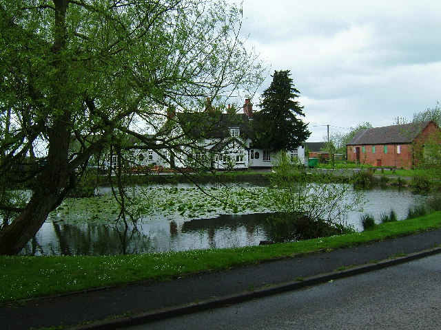
Baddesley Spinney is a picturesque woodland located in Warwickshire, England. Situated near the village of Baddesley Ensor, it covers an area of approximately 10 acres and is renowned for its natural beauty and diverse wildlife.
The woodland is primarily composed of native deciduous trees, such as oak, ash, and birch, which create a dense canopy that provides shade and shelter for the various flora and fauna that inhabit the area. The forest floor is carpeted with an array of wildflowers, including bluebells, primroses, and wood anemones, which bloom in vibrant colors during the spring months.
Baddesley Spinney is home to a wide range of wildlife species, making it a popular destination for nature enthusiasts and birdwatchers. Visitors may spot a variety of bird species, including woodpeckers, thrushes, and owls, as well as mammals such as foxes, badgers, and deer.
The woodland is crisscrossed by a network of well-maintained footpaths, allowing visitors to explore the area and enjoy the tranquility of nature. There are also several benches strategically placed throughout the woodland, providing perfect spots for visitors to rest and soak in the peaceful surroundings.
Managed by the local council, Baddesley Spinney is carefully preserved to maintain its natural beauty and ecological balance. The woodland is regularly maintained through selective tree thinning and the removal of invasive plant species, ensuring the long-term sustainability of this precious natural resource.
Overall, Baddesley Spinney offers a serene and idyllic escape for those seeking to immerse themselves in the beauty of nature.
If you have any feedback on the listing, please let us know in the comments section below.
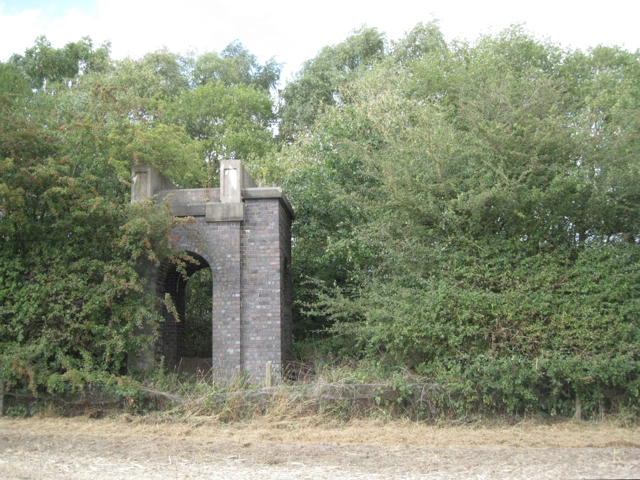
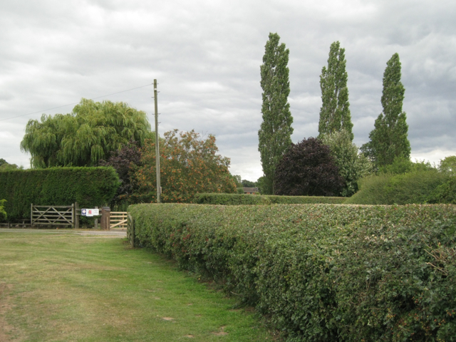
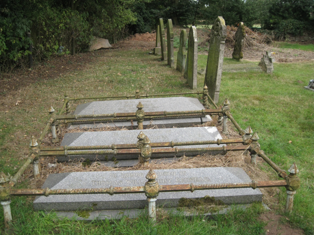
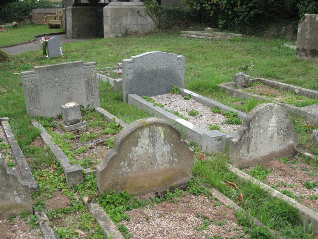
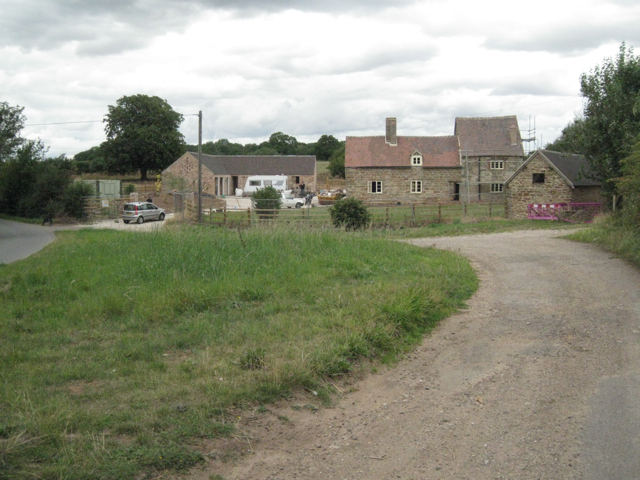
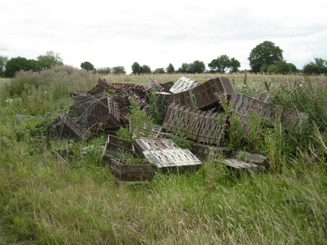
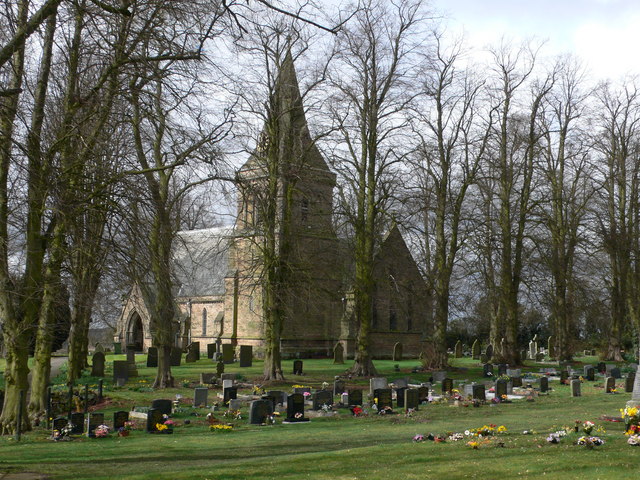
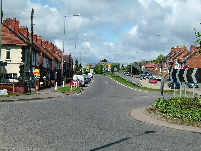
Baddesley Spinney Images
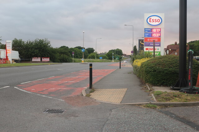
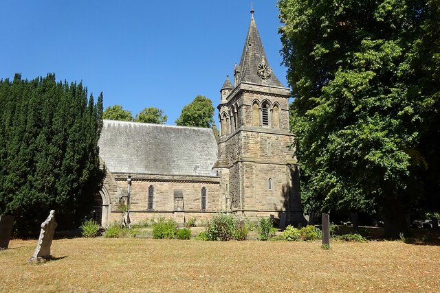
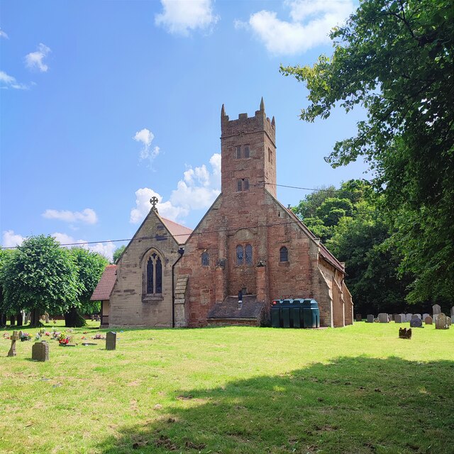
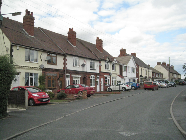
Images are sourced within 2km of 52.583003/-1.6132071 or Grid Reference SP2698. Thanks to Geograph Open Source API. All images are credited.


Baddesley Spinney is located at Grid Ref: SP2698 (Lat: 52.583003, Lng: -1.6132071)
Administrative County: Warwickshire
District: North Warwickshire
Police Authority: Warwickshire
What 3 Words
///meaty.user.snug. Near Polesworth, Warwickshire
Nearby Locations
Related Wikis

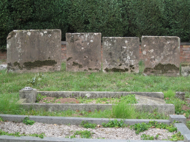
Baxterley Church
Baxterley Church is situated at the western side of the parish of Baxterley, Warwickshire, towards Wood End, and dates from the 12th century. == History... ==
Baddesley Ensor
Baddesley Ensor is a village and civil parish in the district of North Warwickshire in Warwickshire, England, about three miles west of Atherstone. It...

Wood End, Kingsbury, Warwickshire
Wood End is a former Pit village in North Warwickshire, England. It lies to the south east of Tamworth and close to the border with Staffordshire. It grew...
Dordon
Dordon is a village and civil parish in the North Warwickshire district of the county of Warwickshire in England and close to the border with Staffordshire...
Baxterley
Baxterley is a small village and civil parish in the North Warwickshire district of Warwickshire in England. According to the 2001 Census, it had a population...

Mercia
Mercia (, Old English: Miercna rīċe; Latin: Merciorum regnum) was one of the three main Anglic kingdoms founded after Sub-Roman Britain was settled by...

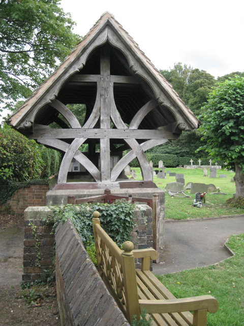
St Michael & All Angels Church, Wood End
St Michael & All Angels Church is a Church of England church in the village of Wood End, Warwickshire, England. Built in 1906, this small wooden church...

Hurley Common
Hurley Common is a village in North Warwickshire, England, between Wood End and Hurley, it consists of several houses and 2 Farms, Hurley common does not...
Nearby Amenities
Located within 500m of 52.583003,-1.6132071Have you been to Baddesley Spinney?
Leave your review of Baddesley Spinney below (or comments, questions and feedback).