Kilngreen Wood

Wood, Forest in Yorkshire Harrogate

England

Kilngreen Wood

Hampsthwaite Church
Hampsthwaite Church Credit: Malcolm Street

Kilngreen Wood is a lush and picturesque woodland located in the heart of Yorkshire, England. Stretching across a sprawling area of approximately 500 acres, this enchanting forest is a haven for nature enthusiasts and outdoor lovers alike.

The wood is characterized by its diverse range of tree species, including oak, beech, birch, and pine, which create a stunning tapestry of colors throughout the year. The forest floor is adorned with a rich carpet of wildflowers, ferns, and mosses, further enhancing the area's natural beauty.

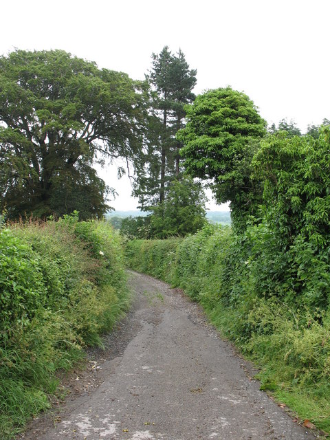
Tranquil walking paths wind their way through Kilngreen Wood, allowing visitors to explore its many hidden treasures. Along these paths, one can discover babbling brooks, small cascades, and even a serene pond. These features attract an array of wildlife, making the woodland a prime spot for birdwatching and animal spotting. Lucky visitors may catch a glimpse of deer, foxes, badgers, and a variety of bird species, including woodpeckers and owls.

The wood is also home to a small picnic area, nestled amidst the trees, providing a perfect spot for visitors to rest and enjoy a packed lunch while immersing themselves in the peaceful ambience of the forest. Additionally, there are several designated camping areas for those seeking a more immersive experience.

Kilngreen Wood truly encapsulates the essence of Yorkshire's natural beauty, offering visitors a tranquil escape from the hustle and bustle of everyday life. Whether it's a leisurely stroll, a picnic with loved ones, or a chance to observe wildlife, this enchanting woodland provides an unforgettable experience for all who venture within its boundaries.

If you have any feedback on the listing, please let us know in the comments section below.

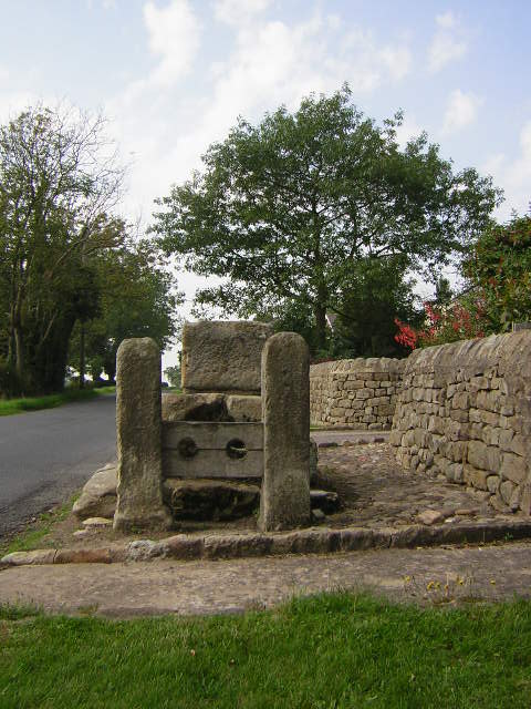
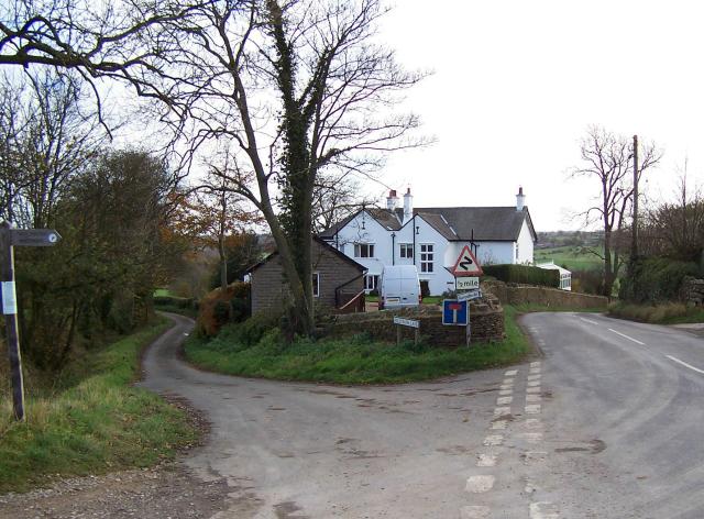
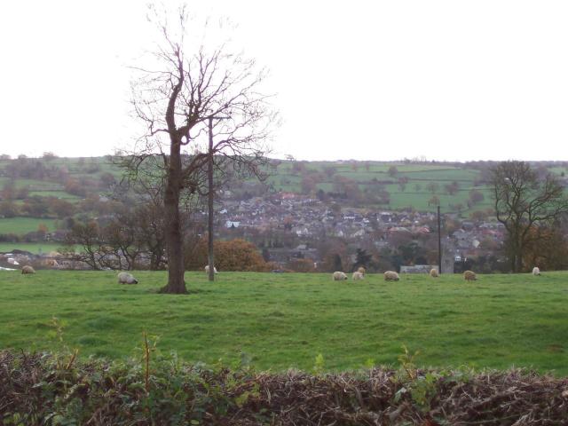
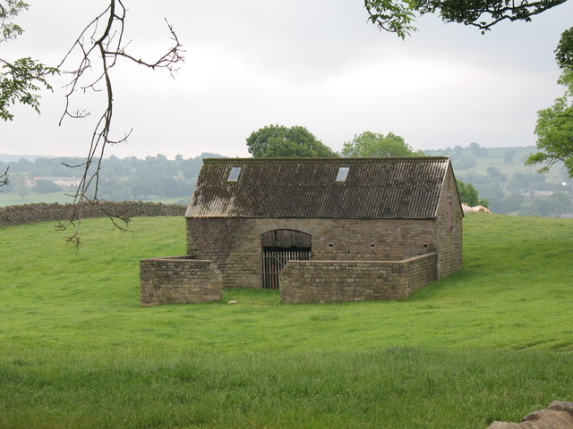
Kilngreen Wood Images

Images are sourced within 2km of 54.034724/-1.5998987 or Grid Reference SE2659. Thanks to Geograph Open Source API. All images are credited.
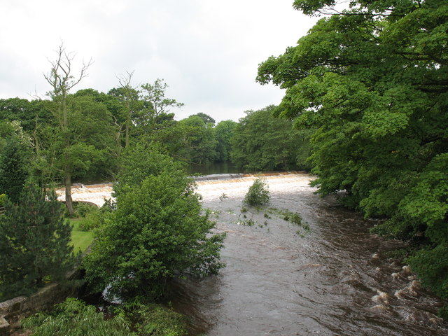
Hampsthwaite Church
Hampsthwaite Church
Hampsthwaite Bridge
Hampsthwaite Bridge
Bus Shelter in Hampsthwaite
Hampsthwaite
Hampsthwaite
Myers Green Myers Green, 400m from Lund Lane Killinghall, consists of one smallholding, several footpaths and a rough track to Crag Hill approx 800m NNE.
Myers Green
Myers Green, 400m from Lund Lane Killinghall, consists of one smallholding, several footpaths and a rough track to Crag Hill approx 800m NNE.
Crag Hill Looking down the track from Myers Green, Crag Hill Farm on the left, Ash Farm on the right.
Crag Hill
Looking down the track from Myers Green, Crag Hill Farm on the left, Ash Farm on the right.
Clint Bank Cross and Stocks Exact date unknown, relocated here by Harrogate Round Table, the pillar of the cross has been damaged but the base remains sound.
Clint Bank Cross and Stocks
Exact date unknown, relocated here by Harrogate Round Table, the pillar of the cross has been damaged but the base remains sound.
Junction of Nidderdale Way, Hollybank Lane and the road to Hampsthwaite
Hampsthwaite looking south from Clint
Stone Barn, Clint A stone barn in good condition - a pity about the corrugated roof.
Stone Barn, Clint
A stone barn in good condition - a pity about the corrugated roof.
Old routeway at Clint This was a well used route in medieval times, and in John Ogilby's map of 1665 is shown as part of the main 'road' from York to Lancaster.  Now it is a quiet bridleway.
Old routeway at Clint
This was a well used route in medieval times, and in John Ogilby's map of 1665 is shown as part of the main 'road' from York to Lancaster. Now it is a quiet bridleway.
Mill race, Birstwith The mill race flows from the weir on the Nidd to Birstwith Mill [seen here] which now produces animal feeds.
Mill race, Birstwith
The mill race flows from the weir on the Nidd to Birstwith Mill [seen here] which now produces animal feeds.
Old Station Inn, Birstwith Village pub in Birstwith, only a few yards from the site of the former railway station.
Old Station Inn, Birstwith
Village pub in Birstwith, only a few yards from the site of the former railway station.
Birstwith weir. The weir at Birstwith is one of many on the River Nidd. This one maintains the water level for the mill race.
Birstwith weir.
The weir at Birstwith is one of many on the River Nidd. This one maintains the water level for the mill race.
Hampsthwaite Memorial Hall Smart modern hall in the centre of this prosperous village.
Hampsthwaite Memorial Hall
Smart modern hall in the centre of this prosperous village.
The Joiners Arms Excellent village pub serving wholesome food, real ales, and displaying a huge number of gravy boats.
The Joiners Arms
Excellent village pub serving wholesome food, real ales, and displaying a huge number of gravy boats.
High Street, Hampsthwaite Nineteenth century cottages along one of the main streets in the village.
High Street, Hampsthwaite
Nineteenth century cottages along one of the main streets in the village.
Hampsthwaite Post Office Post office and village stores in the centre of Hampsthwaite.
Hampsthwaite Post Office
Post office and village stores in the centre of Hampsthwaite.
Show me another place!

Kilngreen Wood is located at Grid Ref: SE2659 (Lat: 54.034724, Lng: -1.5998987)

Division: West Riding

Administrative County: North Yorkshire

District: Harrogate

Police Authority: North Yorkshire

What 3 Words

///airports.plausible.grasp. Near Harrogate, North Yorkshire

Nearby Locations

Kilngreen Wood Clint

Related Wikis

Hampsthwaite railway station

Hampsthwaite railway station served the village of Hampsthwaite, North Yorkshire, England from 1866 to 1950 on the Nidd Valley Railway. == History == The...

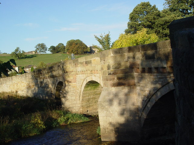
Clint, North Yorkshire

Clint is a village in Nidderdale in North Yorkshire, England. It lies on the north bank of the River Nidd, 4 miles north-west of Harrogate. Clint is...
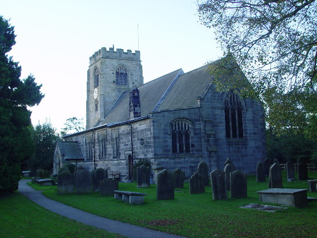
Hampsthwaite

Hampsthwaite is a large village and civil parish in Nidderdale in the Harrogate district of North Yorkshire, England. It lies on the south bank of the...

Bedlam, North Yorkshire

Bedlam is a small village in the Harrogate district of North Yorkshire, England situated north of Harrogate.Its name most likely came from Old English...

Burnt Yates

Burnt Yates is a village in the Borough of Harrogate in North Yorkshire, England. == Community == The village name possibly derived from 'Burnt Gates'...

Birstwith railway station

Birstwith railway station served the village of Birstwith, North Yorkshire, England from 1862 to 1964 on the Nidd Valley Railway. == History == The station...

Ripley, North Yorkshire

Ripley is a town and civil parish in North Yorkshire in England, a few miles north of Harrogate on the A61 road towards Ripon. The town name derives from...

Ripley Castle

Ripley Castle is a Grade I listed 14th-century country house in Ripley, North Yorkshire, England, 3 miles (4.8 km) north of Harrogate.The house is built...

Nearby Amenities

Located within 500m of 54.034724,-1.5998987
Clint
Place: hamlet
Source: npe
Wikidata: Q5133905
Lat/Long: 54.033011/-1.6005814
Post Box
Post Box Type: wall
Ref: HG3 82
Royal Cypher: EVIIR
Royal Cypher Wikidata: Q33102324
Lat/Long: 54.0339355/-1.6044379
Generator Method: photovoltaic
Generator Output Electricity: yes
Generator Source: solar
Generator Type: solar_photovoltaic_panel
Power: generator
Lat/Long: 54.0327256/-1.6014171
Generator Method: photovoltaic
Generator Output Electricity: yes
Generator Source: solar
Generator Type: solar_photovoltaic_panel
Power: generator
Lat/Long: 54.0327311/-1.6013431
Generator Method: photovoltaic
Generator Output Electricity: yes
Generator Source: solar
Generator Type: solar_photovoltaic_panel
Power: generator
Lat/Long: 54.0327365/-1.6012769
Generator Method: photovoltaic
Generator Output Electricity: yes
Generator Source: solar
Generator Type: solar_photovoltaic_panel
Power: generator
Lat/Long: 54.0327437/-1.6012075
Generator Method: photovoltaic
Generator Output Electricity: yes
Generator Source: solar
Generator Type: solar_photovoltaic_panel
Power: generator
Lat/Long: 54.0327519/-1.6011351
Generator Method: photovoltaic
Generator Output Electricity: yes
Generator Source: solar
Generator Type: solar_photovoltaic_panel
Power: generator
Lat/Long: 54.0340952/-1.6040687
Generator Method: photovoltaic
Generator Output Electricity: yes
Generator Source: solar
Generator Type: solar_photovoltaic_panel
Power: generator
Lat/Long: 54.0340609/-1.6039547
Power: pole
Lat/Long: 54.0365718/-1.6056656
Power: pole
Lat/Long: 54.0366001/-1.6041206
Information: guidepost
Tourism: information
Lat/Long: 54.0334891/-1.6019874
Barrier: stile
Lat/Long: 54.0334776/-1.6019654
Parking
Lat/Long: 54.0340115/-1.5978079
Barrier: stile
Lat/Long: 54.0341286/-1.6067008
Barrier: stile
Lat/Long: 54.0343325/-1.607385
Barrier: cattle_grid
Lat/Long: 54.0336435/-1.6019427
The data included in this document is from www.openstreetmap.org. The data is made available under ODbL.

Have you been to Kilngreen Wood?

Leave your review of Kilngreen Wood below (or comments, questions and feedback).