Aston Rowant

Civil Parish in Oxfordshire South Oxfordshire

England

Aston Rowant

Farmland, Crowell The edge of Chinnor is seen from the Lower Icknield Way.
Farmland, Crowell Credit: Andrew Smith

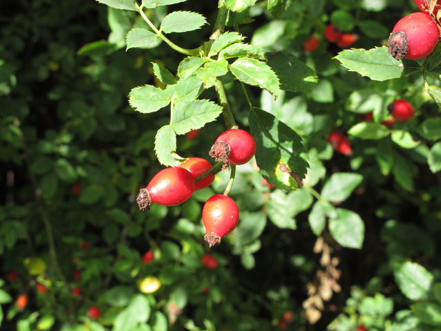
Aston Rowant is a civil parish located in the county of Oxfordshire, England. It is situated in the Chiltern Hills, an Area of Outstanding Natural Beauty. The parish covers an area of approximately 4 square miles and has a population of around 600 people.

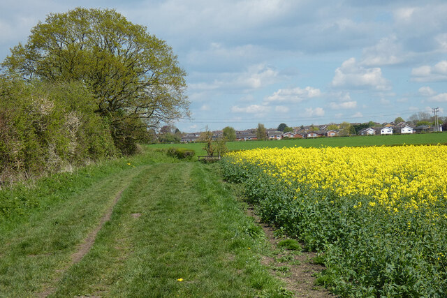
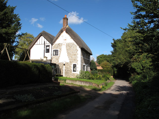
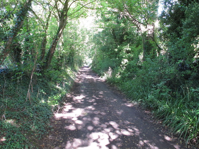
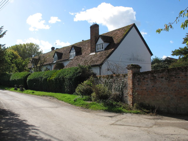
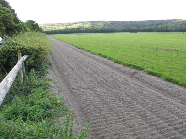
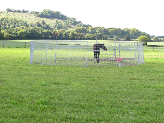
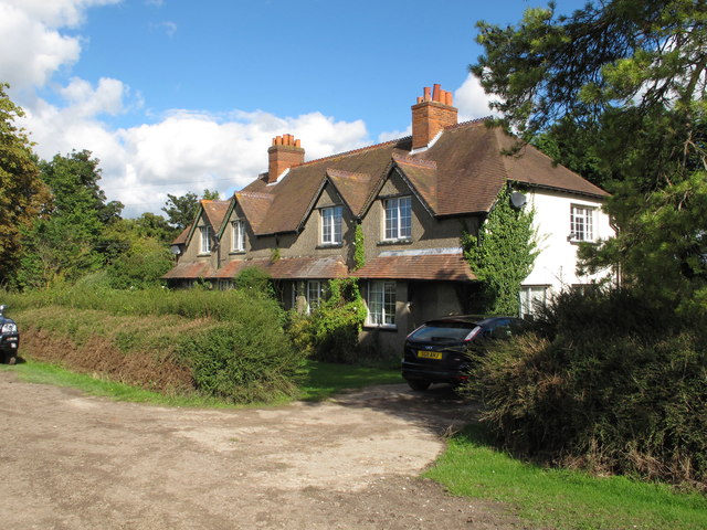
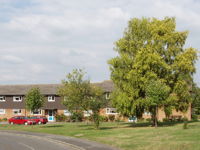
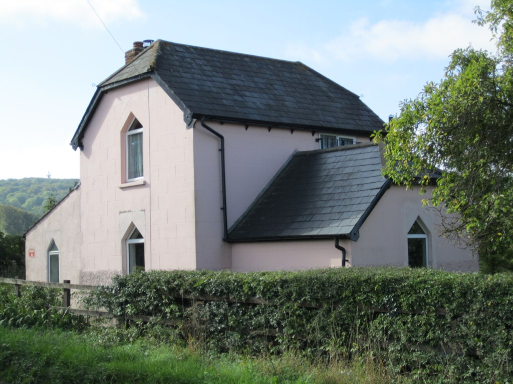
The village of Aston Rowant is the main settlement within the parish. It is a small, picturesque village characterized by its traditional stone cottages and charming rural atmosphere. The village is surrounded by rolling hills and beautiful countryside, offering stunning views of the Oxfordshire landscape.

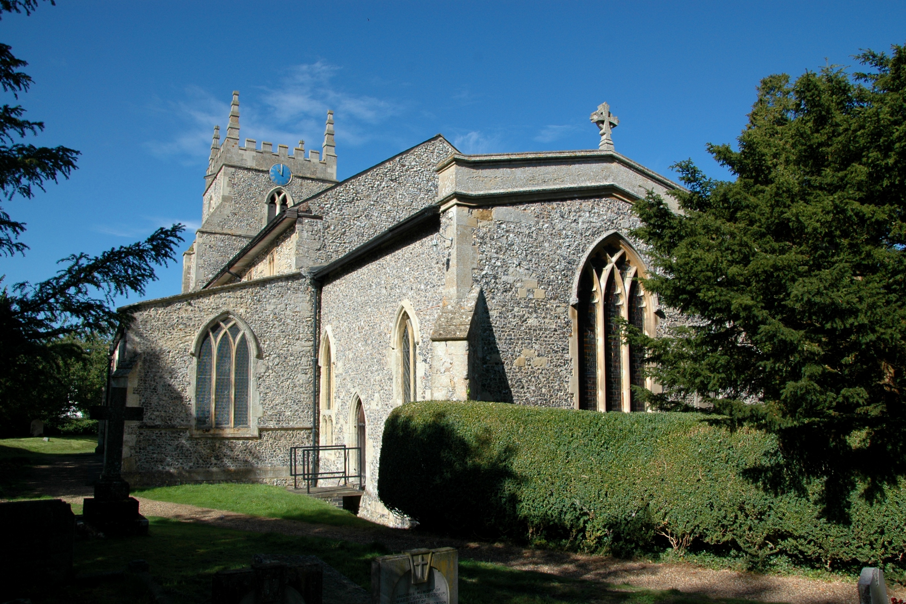
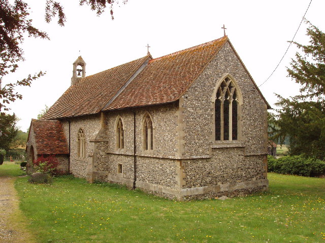
Aston Rowant is known for its rich historical heritage. The village features a number of historic buildings, including the St. Peter and St. Paul Church, which dates back to the 12th century. The church is a Grade II* listed building and serves as a focal point for the local community.

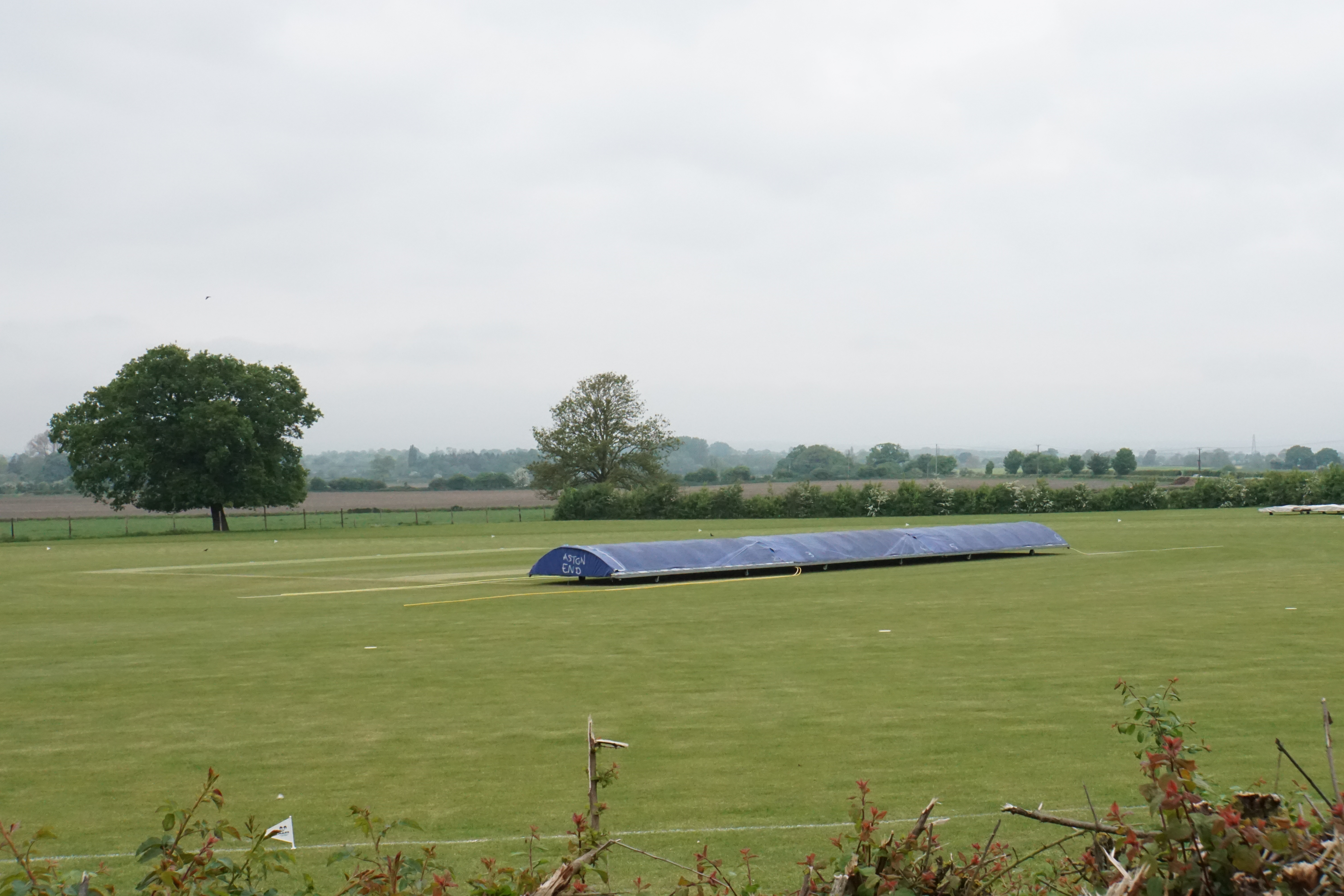
The parish also offers a range of amenities and facilities for residents and visitors. These include a village hall, a primary school, a cricket club, and several local businesses, including a post office and a village shop. The area is well-connected by road, with the M40 motorway and the A40 running nearby, providing easy access to Oxford, London, and other major towns and cities.

Overall, Aston Rowant is a picturesque and historic civil parish that offers a tranquil rural lifestyle within reach of major urban centers. Its natural beauty, rich heritage, and community spirit make it an attractive place to live or visit.

If you have any feedback on the listing, please let us know in the comments section below.
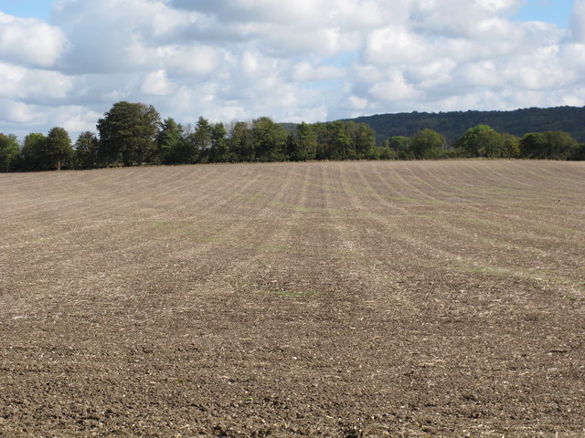
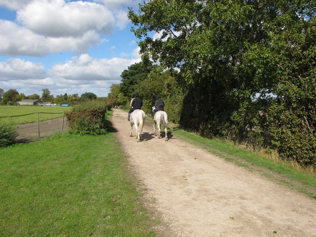
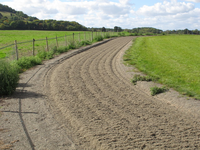
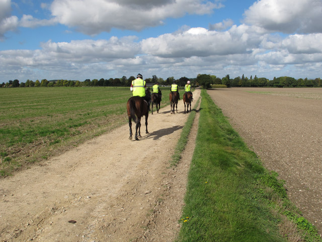
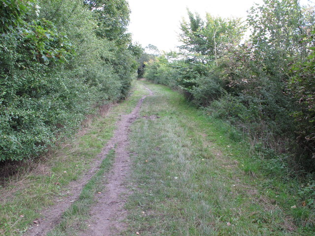
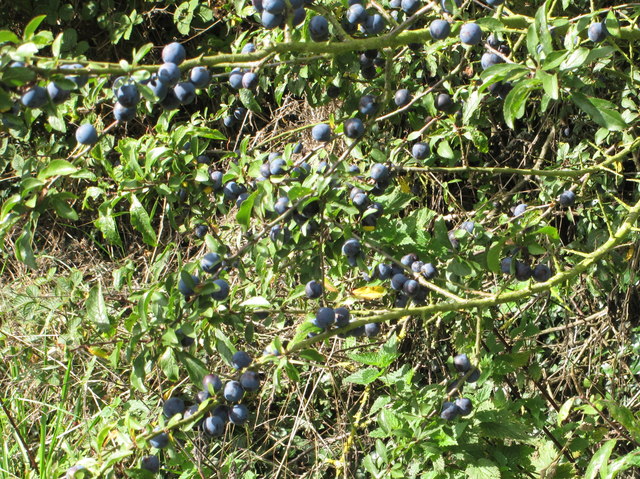
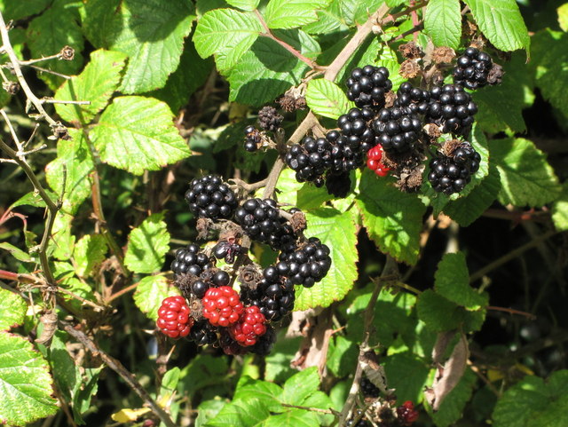
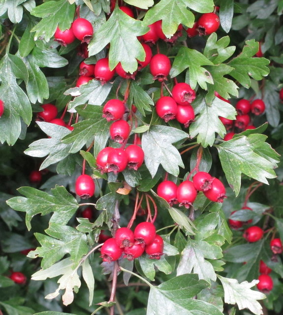
Aston Rowant Images

Images are sourced within 2km of 51.688349/-0.946616 or Grid Reference SU7299. Thanks to Geograph Open Source API. All images are credited.

Farmland, Crowell The edge of Chinnor is seen from the Lower Icknield Way.
Farmland, Crowell
The edge of Chinnor is seen from the Lower Icknield Way.
Thatched cottage, Church Lane, Aston Rowant
Church Lane, Aston Rowant - part of old "London Weye" The Aston Rowant Discovery Trail signs say that Church Lane is thought to be on the London Weye, a route to Oxford used in the Middle ages, and used by the future Queen Elizabeth I when released from the Tower of London and banished to country confinement in Woodstock. It is now a public bridleway.
Church Lane, Aston Rowant - part of old "London Weye"
The Aston Rowant Discovery Trail signs say that Church Lane is thought to be on the London Weye, a route to Oxford used in the Middle ages, and used by the future Queen Elizabeth I when released from the Tower of London and banished to country confinement in Woodstock. It is now a public bridleway.
Ornamental grass, with ladybird This is beside Church Lane, Aston Rowant.
Ornamental grass, with ladybird
This is beside Church Lane, Aston Rowant.
Aston Park House View from Church Lane.
Aston Park House
View from Church Lane.
Gallop, Aston Rowant View up to Aston Wood on the Chilterns scarp.
Gallop, Aston Rowant
View up to Aston Wood on the Chilterns scarp.
Corralled horse, view to Beacon Hill This horse in the field with gallops appears to have been put into solitary confinement in its own little cage. The view beyond is to Beacon Hill, part of Aston Rowant  National Nature Reserve.
Corralled horse, view to Beacon Hill
This horse in the field with gallops appears to have been put into solitary confinement in its own little cage. The view beyond is to Beacon Hill, part of Aston Rowant National Nature Reserve.
Woodway Cottages, Aston Rowant
Ploughed and seeded field, Aston Rowant The green of a new crop is just beginning to show.
Ploughed and seeded field, Aston Rowant
The green of a new crop is just beginning to show.
White horses with black-clad riders, Aston Rowant The horse exercise gallops and Woodway Farm are seen on the left.
White horses with black-clad riders, Aston Rowant
The horse exercise gallops and Woodway Farm are seen on the left.
Gallop on Woodway Farm, Aston Rowant
Horse riders with hi-viz jackets, Aston Rowant They are on the track from Icknield Way to Aston Rowant.
Horse riders with hi-viz jackets, Aston Rowant
They are on the track from Icknield Way to Aston Rowant.
Icknield Way near Aston Rowant This is also the Ridgeway long-distance trail.
Icknield Way near Aston Rowant
This is also the Ridgeway long-distance trail.
Sloes by the Ridgeway
Blackberries by the Ridgeway
Haws by the Ridgeway
Rose hips by the Ridgeway
7-spot ladybird in hedgerow Seven-spot ladybird in hedgerow by the Ridgeway. I think it is on a hazel leaf.
7-spot ladybird in hedgerow
Seven-spot ladybird in hedgerow by the Ridgeway. I think it is on a hazel leaf.
Show me another place!

Aston Rowant is located at Grid Ref: SU7299 (Lat: 51.688349, Lng: -0.946616)

Administrative County: Oxfordshire

District: South Oxfordshire

Police Authority: Thames Valley

What 3 Words

///dining.crackled.improves. Near Chinnor, Oxfordshire

Nearby Locations

Aston Rowant

Related Wikis

Aston Rowant

Aston Rowant (anciently Aston Rohant) is a village, civil parish and former manor about 4+1⁄2 miles (7 km) south of Thame in South Oxfordshire, England...

Butt's Way

Butt's Way is a cricket ground between the villages of Aston Rowant and Kingston Blount in Oxfordshire. == History == The cricket ground was established...

Kingston Blount

Kingston Blount is a village about 4 miles (6.4 km) southeast of Thame in South Oxfordshire, England. The village is a spring line settlement at the foot...

Kingston Crossing Halt railway station

Kingston Crossing Halt railway station was a halt on the Watlington and Princes Risborough Railway which the Great Western Railway opened in 1906 to serve...

Crowell, Oxfordshire

Crowell is a village and civil parish in Oxfordshire, about 4 miles (6.4 km) southeast of the market town of Thame and 1 mile (1.6 km) southwest of the...

Aston Rowant railway station

Aston Rowant railway station was opened in 1872 and was a part of the Watlington and Princes Risborough Railway. Having closed in 1961, there have been...

Postcombe

Postcombe is a village in the civil parish of Lewknor. It is approximately 4 miles (6.4 km) south of Thame in Oxfordshire, England, and about 2 miles...

Oakley, Oxfordshire

Oakley is a spring line settlement at the foot of the Chiltern Hills on the route of the Lower Icknield Way. It is about 4.5 miles (7.2 km) southeast of...

Nearby Amenities

Located within 500m of 51.688349,-0.946616
Aston Rowant
Place: village
Wikidata: Q1983028
Wikipedia: en:Aston Rowant
Lat/Long: 51.6853033/-0.9489914
Turning Circle
Turning Circle: knuckle
Lat/Long: 51.6859893/-0.9472399
Post Box
Brand: Royal Mail
Brand Wikidata: Q638098
Collection Times: Mo-Fr 15:45; Sa 08:15
Operator: Royal Mail
Operator Wikidata: Q638098
Post Box Mounting: brick_wall
Post Box Type: wall
Ref: OX49 481
Royal Cypher: GVIR
Royal Cypher Wikidata: Q33102169
Lat/Long: 51.6855043/-0.9488877
Direction: 150
Generator Method: photovoltaic
Generator Output Electricity: yes
Generator Solar Modules: 10
Generator Source: solar
Generator Type: solar_photovoltaic_panel
Location: roof
Power: generator
Lat/Long: 51.6845953/-0.9490915
Direction: 240
Generator Method: photovoltaic
Generator Output Electricity: yes
Generator Solar Modules: 5
Generator Source: solar
Generator Type: solar_photovoltaic_panel
Location: roof
Power: generator
Lat/Long: 51.6846737/-0.9490359
Direction: 170
Generator Method: photovoltaic
Generator Output Electricity: yes
Generator Solar Modules: 16
Generator Source: solar
Generator Type: solar_photovoltaic_panel
Location: roof
Power: generator
Lat/Long: 51.6845719/-0.947792
Fixme: solar panel?
Lat/Long: 51.6853144/-0.9508876
Direction: 235
Generator Method: photovoltaic
Generator Output Electricity: yes
Generator Solar Modules: 16
Generator Source: solar
Generator Type: solar_photovoltaic_panel
Location: roof
Power: generator
Lat/Long: 51.6867381/-0.9483469
Direction: 135
Fixme: survey for panel count
Generator Method: photovoltaic
Generator Output Electricity: yes
Generator Solar Modules: 14
Generator Source: solar
Generator Type: solar_photovoltaic_panel
Location: roof
Power: generator
Lat/Long: 51.686775/-0.9485394
Direction: 150
Generator Method: photovoltaic
Generator Output Electricity: yes
Generator Solar Modules: 16
Generator Source: solar
Generator Type: solar_photovoltaic_panel
Location: roof
Power: generator
Lat/Long: 51.6866039/-0.9451216
Fixme: solar panels?
Lat/Long: 51.6867405/-0.94467
Turning Circle
Turning Circle: knuckle
Lat/Long: 51.6873215/-0.9439308
Defibrillator
Defibrillator Location: on wall opposite church in Aston Rowant
Emergency: defibrillator
Indoor: no
Lat/Long: 51.6850849/-0.949181
The data included in this document is from www.openstreetmap.org. The data is made available under ODbL.

Have you been to Aston Rowant?

Leave your review of Aston Rowant below (or comments, questions and feedback).