Aslacton
Civil Parish in Norfolk South Norfolk
England
Aslacton
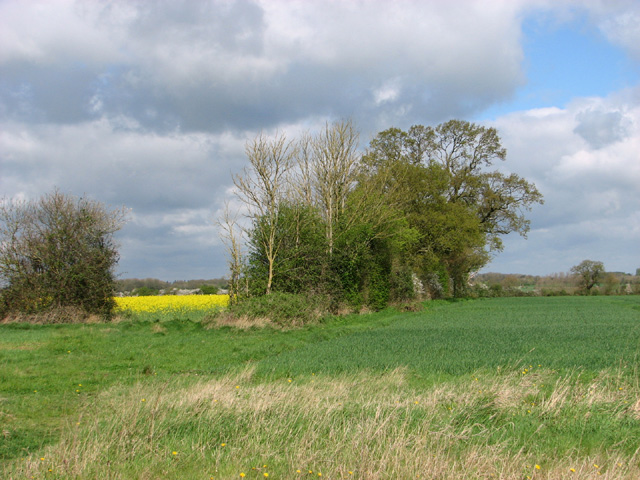
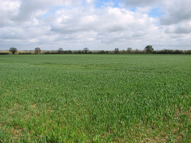
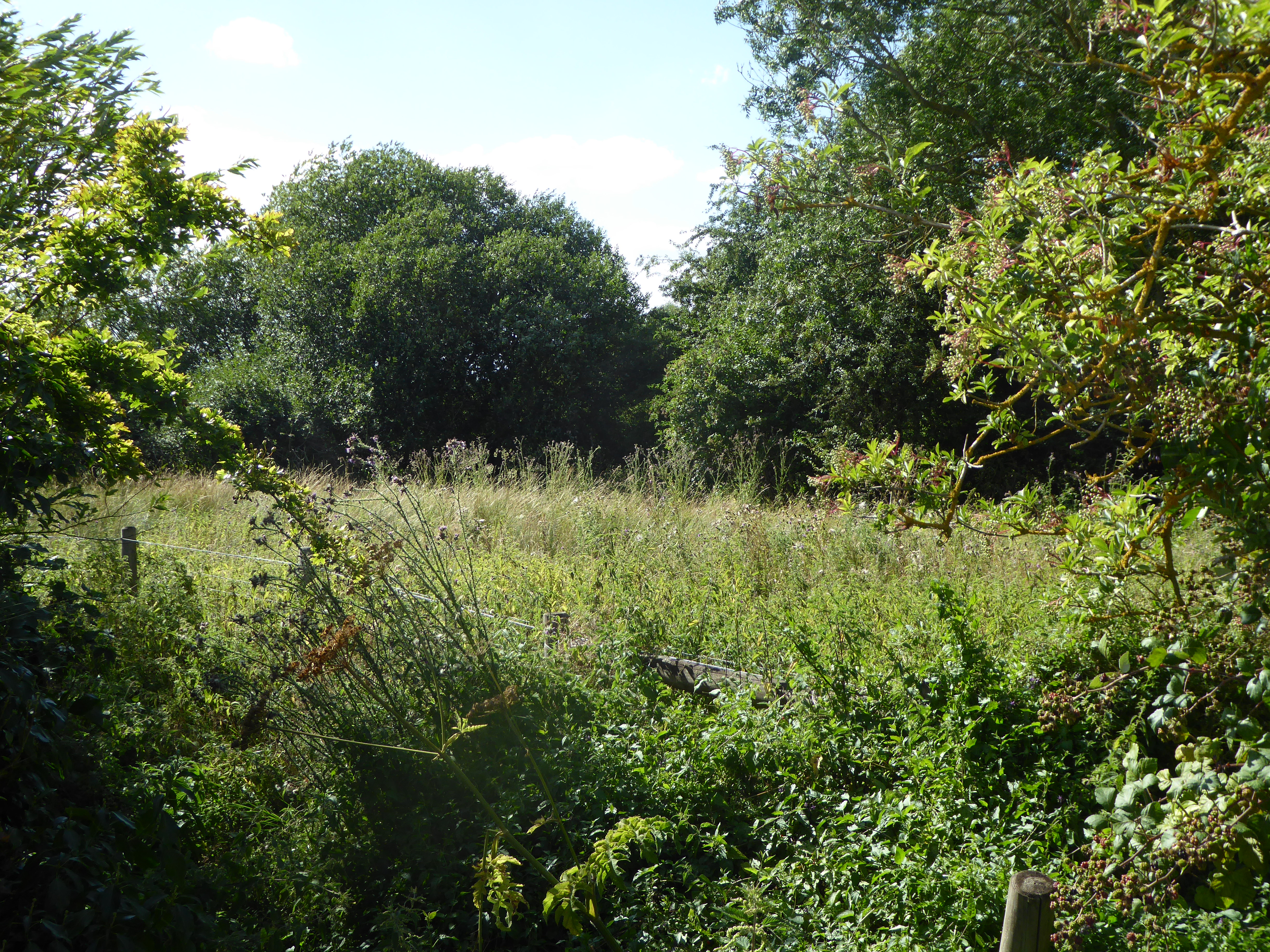
Aslacton is a civil parish located in the county of Norfolk, England. Situated approximately 13 miles south of Norwich, it falls under the South Norfolk district. The village is nestled in a rural setting, surrounded by the picturesque countryside that characterizes the Norfolk landscape.
The village itself is small and has a population of around 300 residents. It boasts a charming and peaceful atmosphere, making it an ideal destination for those seeking tranquility and a slower pace of life. The parish is predominantly residential, with a mix of traditional cottages and modern houses.
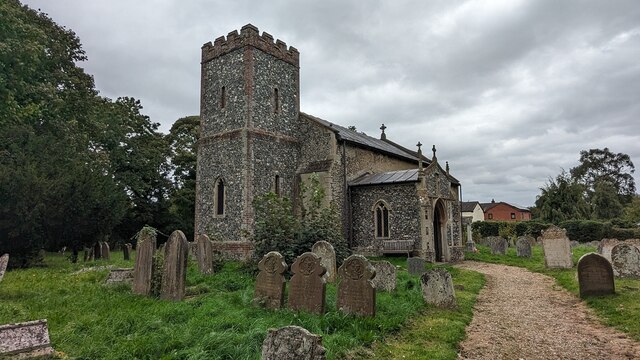
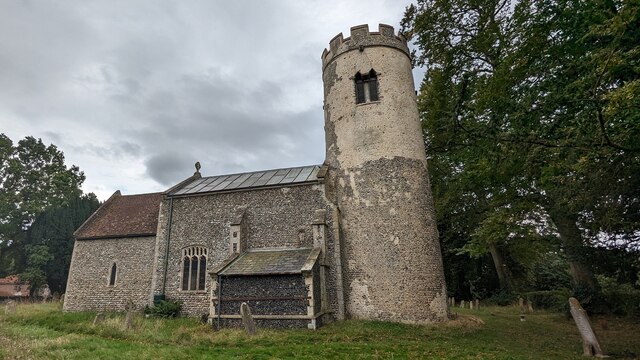
Aslacton is home to the 14th-century St. Michael and All Angels Church, a notable architectural landmark that attracts visitors interested in its historical significance. The church's impressive tower is a prominent feature of the village skyline.
Despite its small size, Aslacton is well-connected to neighboring towns and villages. The A140 road runs nearby, providing convenient access to Norwich and other major cities. Public transportation is available, with regular bus services connecting the village to the surrounding areas.
The village benefits from a strong sense of community, with various local groups and organizations offering a range of activities and events for residents to enjoy. These include sports clubs, gardening societies, and social clubs.
In summary, Aslacton is a charming and peaceful village in Norfolk, offering residents and visitors a tranquil rural escape with easy access to nearby towns and cities.
If you have any feedback on the listing, please let us know in the comments section below.
Aslacton Images
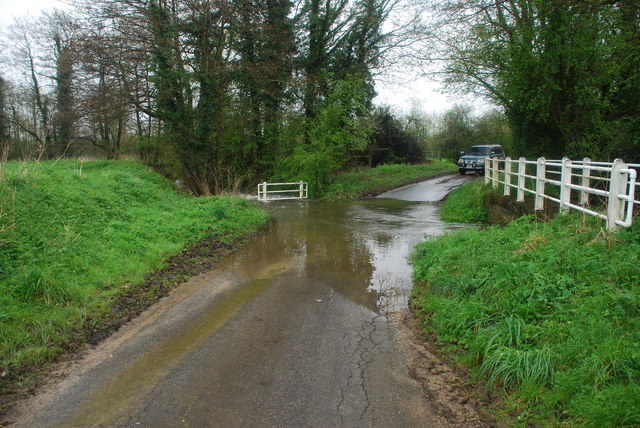
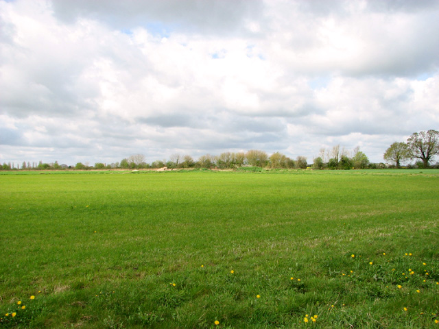
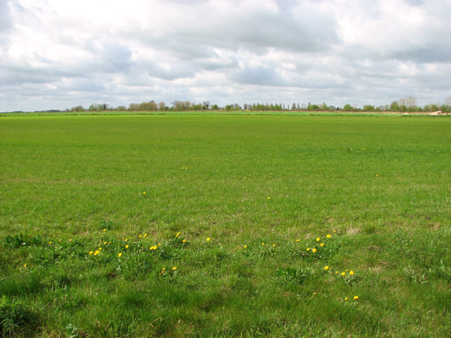
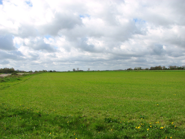
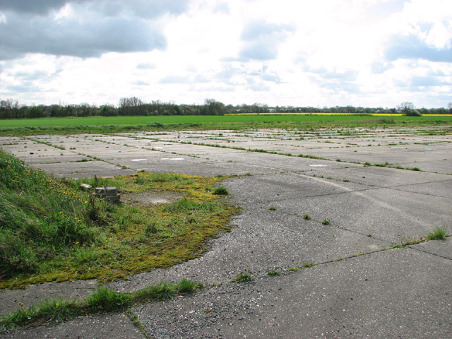
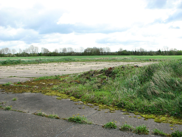
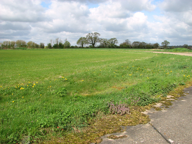
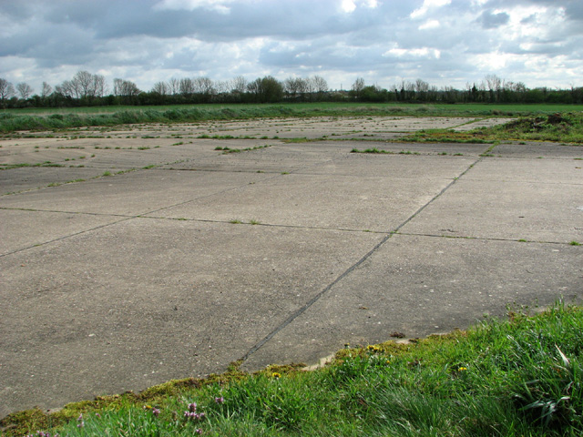
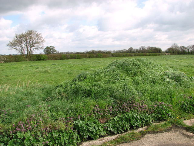
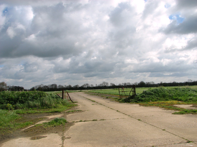
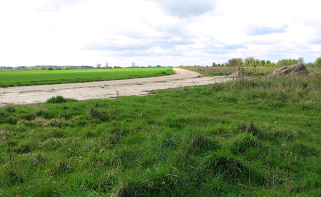
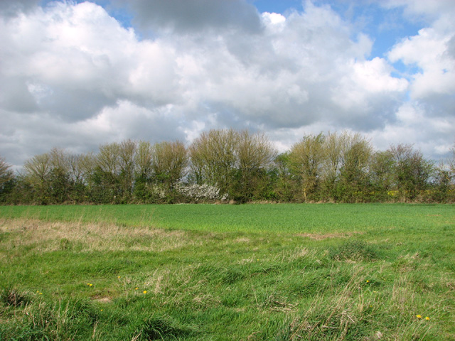
Images are sourced within 2km of 52.467286/1.169699 or Grid Reference TM1590. Thanks to Geograph Open Source API. All images are credited.
Aslacton is located at Grid Ref: TM1590 (Lat: 52.467286, Lng: 1.169699)
Administrative County: Norfolk
District: South Norfolk
Police Authority: Norfolk
What 3 Words
///soft.costumed.workouts. Near Long Stratton, Norfolk
Nearby Locations
Related Wikis
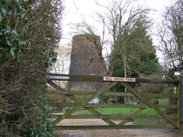
Aslacton Windmill
Aslacton Mill is a Grade II listed tower mill at Aslacton, Norfolk, England which is derelict. == History == Aslacton Mill was probably built in 1834,...

Aslacton
Aslacton is a village and civil parish in the English county of Norfolk. It is situated between Norwich and Diss, and is near Great Moulton. The closest...
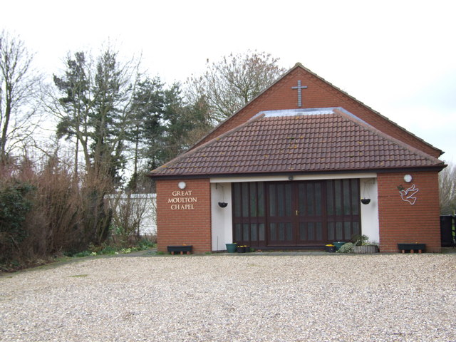
Great Moulton
Great Moulton (also known as Moulton St Michael) is a civil parish in the English county of Norfolk. Until the 16th century it also included the Little...
Aslacton Parish Land
Aslacton Parish Land is a 4.4-hectare (11-acre) biological Site of Special Scientific Interest west of Long Stratton in Norfolk.This site has wet and dry...
Nearby Amenities
Located within 500m of 52.467286,1.169699Have you been to Aslacton?
Leave your review of Aslacton below (or comments, questions and feedback).