Aslackby and Laughton

Civil Parish in Lincolnshire South Kesteven

England

Aslackby and Laughton

Sovereign Street crossing Pointon Lode into Aslackby
Sovereign Street crossing Pointon Lode into Aslackby Credit: Tim Heaton

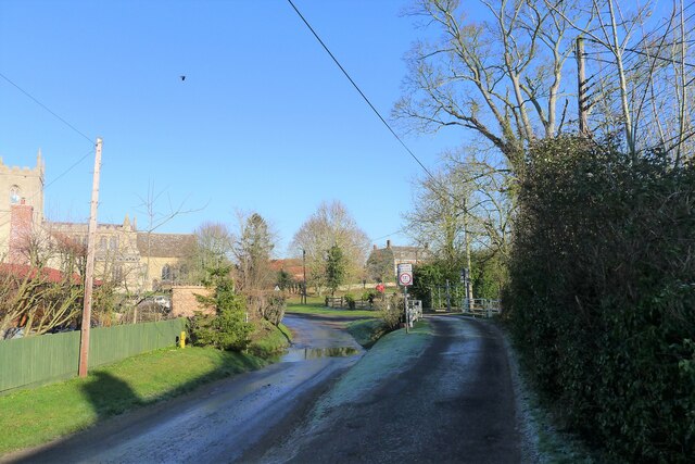
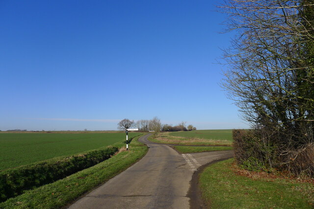
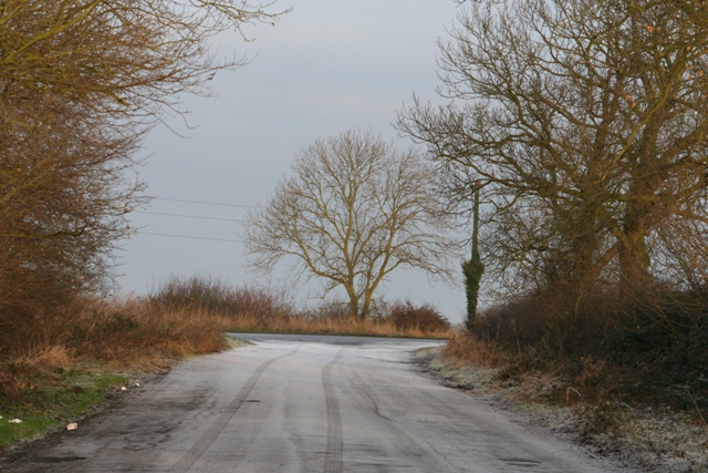
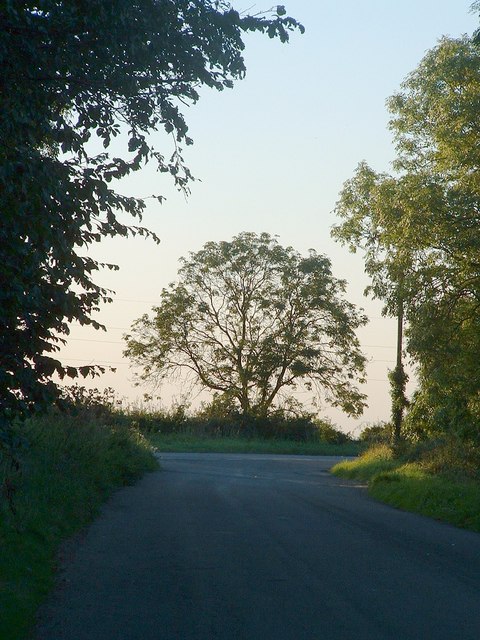
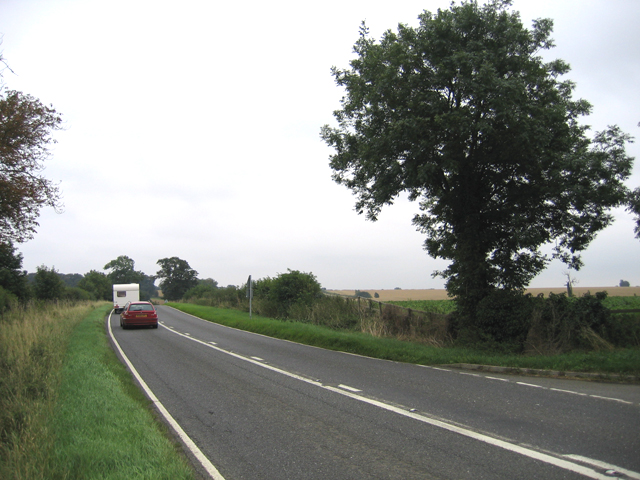
Aslackby and Laughton is a civil parish located in the county of Lincolnshire, England. It is situated approximately 9 miles south of the town of Sleaford and covers an area of around 9 square miles. The parish is made up of two small villages, Aslackby and Laughton, which are separated by a distance of about 2 miles.

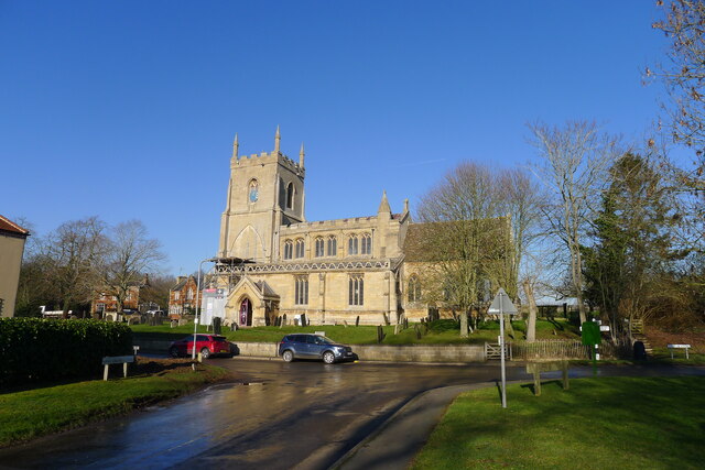
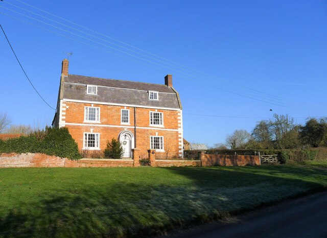
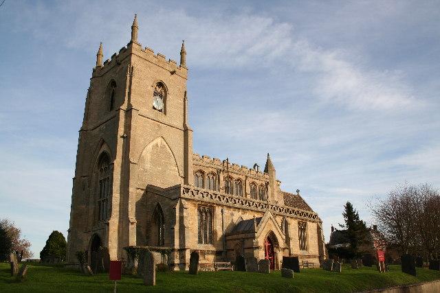
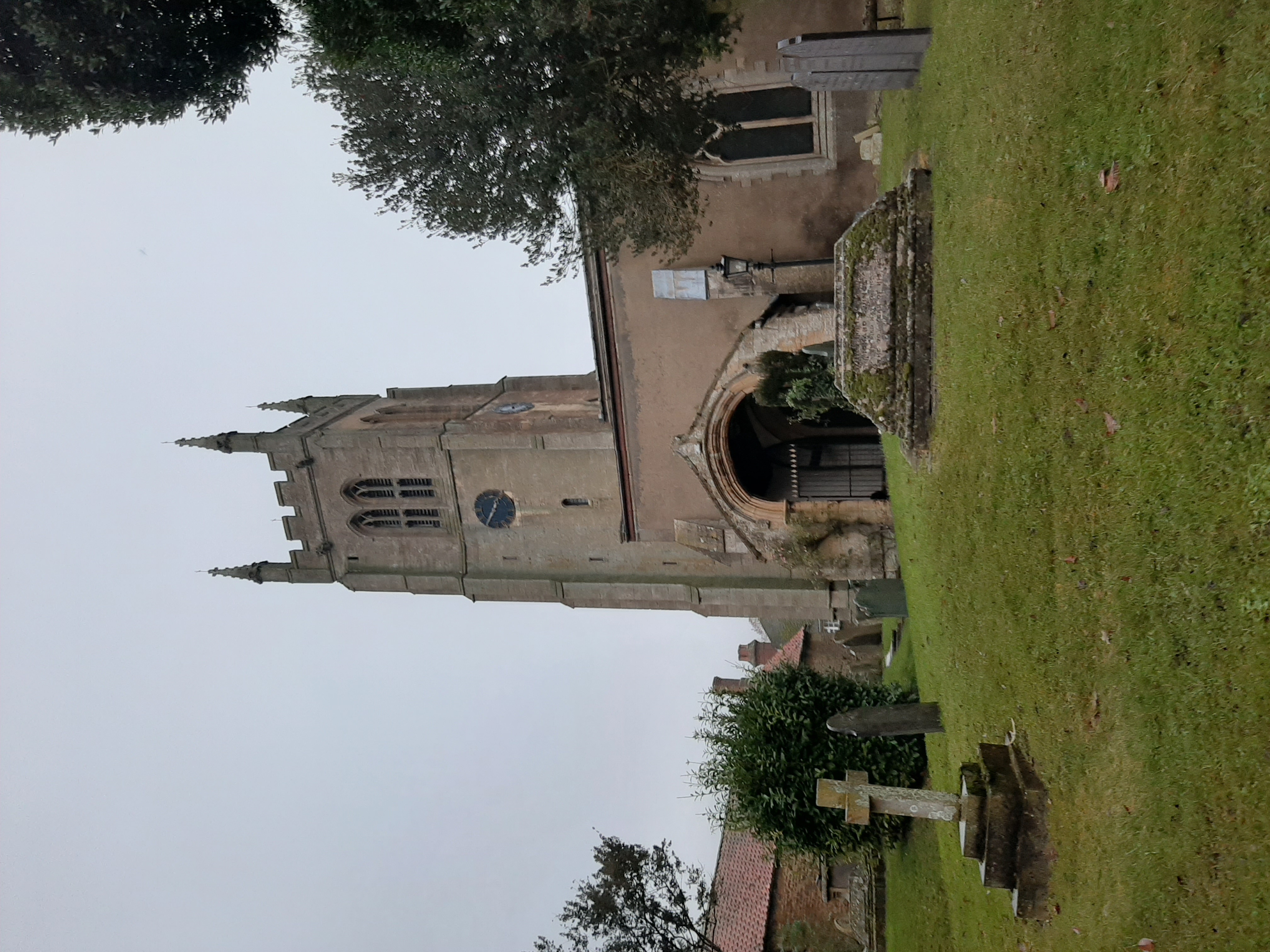
Aslackby is the larger of the two villages and is home to a population of around 400 people. It is known for its charming rural setting, surrounded by open fields and farmland. The village has a traditional English countryside feel, with many of its buildings dating back to the 17th and 18th centuries. The parish church of St James is a notable landmark in Aslackby, boasting a beautiful Norman tower.

Laughton, on the other hand, is a smaller village with a population of around 200 residents. It is located to the north of Aslackby and is characterized by its picturesque cottages and peaceful atmosphere. The village is known for its quaint thatched-roof houses and well-maintained gardens.

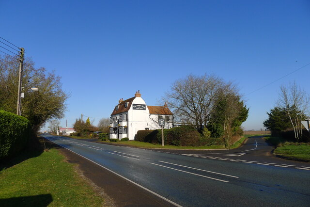
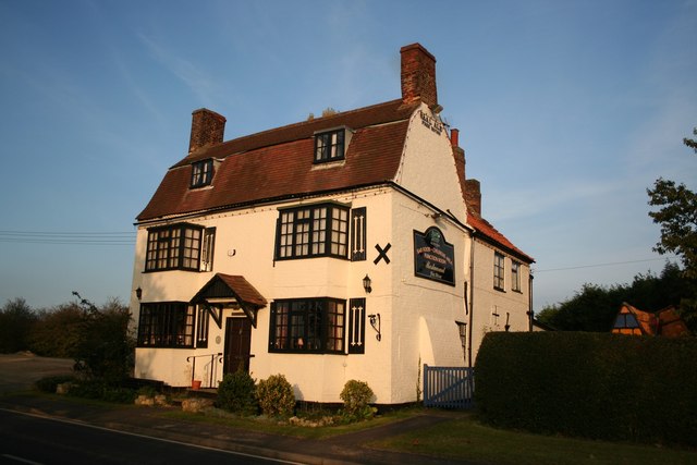
Both villages offer a range of amenities, including a primary school, a village hall, and a local pub. The surrounding countryside provides ample opportunities for outdoor activities such as walking, cycling, and horse riding.

Aslackby and Laughton are well-connected to neighboring towns and cities, with good road links and public transportation options available. The parish is a popular choice for those seeking a tranquil rural lifestyle while still being within easy reach of urban amenities.

If you have any feedback on the listing, please let us know in the comments section below.

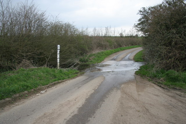
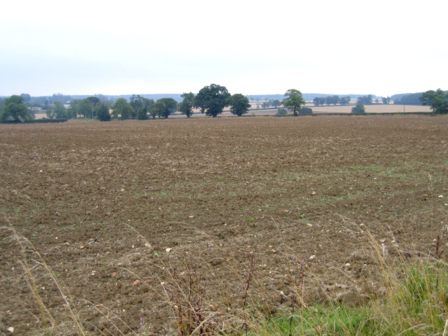
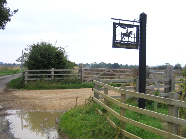
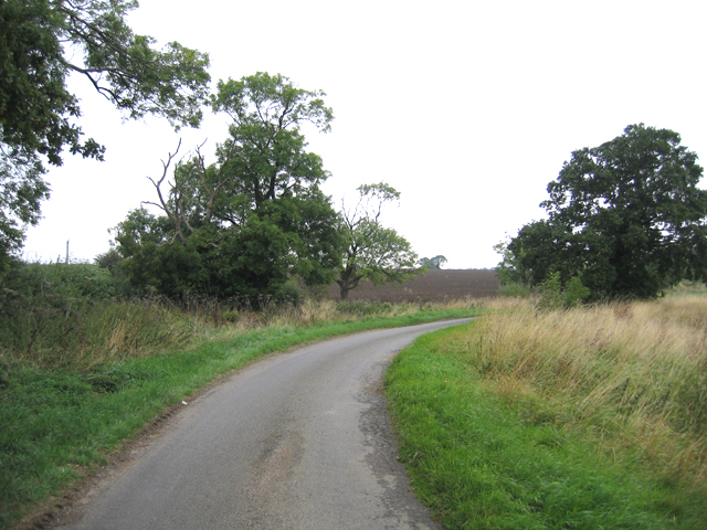
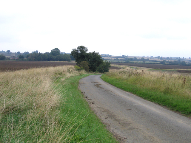
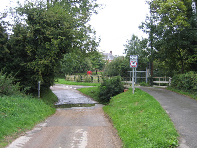
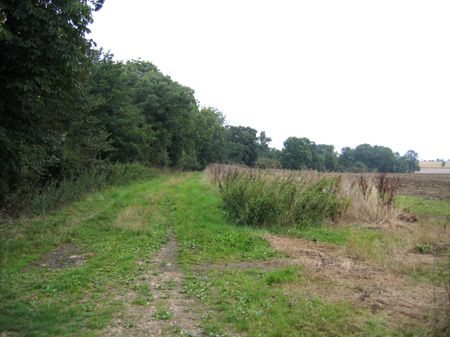
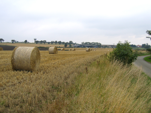
Aslackby and Laughton Images

Images are sourced within 2km of 52.857568/-0.403277 or Grid Reference TF0730. Thanks to Geograph Open Source API. All images are credited.

Sovereign Street crossing Pointon Lode into Aslackby
Church of St James, Aslackby Listed Grade I, from the 13th century <span class="nowrap"><a title="https://www.robschurches.com/aslackby" rel="nofollow ugc noopener" href="https://www.robschurches.com/aslackby">Link</a><img style="margin-left:2px;" alt="External link" title="External link - shift click to open in new window" src="https://s1.geograph.org.uk/img/external.png" width="10" height="10"/></span>
Church of St James, Aslackby
Listed Grade I, from the 13th century LinkExternal link
Moorfield House, Aslackby Late 18th to mid 19th century farmhouse <span class="nowrap"><a title="https://historicengland.org.uk/listing/the-list/list-entry/1317654?section=official-list-entry" rel="nofollow ugc noopener" href="https://historicengland.org.uk/listing/the-list/list-entry/1317654?section=official-list-entry">Link</a><img style="margin-left:2px;" alt="External link" title="External link - shift click to open in new window" src="https://s1.geograph.org.uk/img/external.png" width="10" height="10"/></span>
Moorfield House, Aslackby
Late 18th to mid 19th century farmhouse LinkExternal link
The A15 passing the Robin Hood and Little John Popular pub restaurant, and a great pint of Black Sheep. <span class="nowrap"><a title="https://heritage-explorer.lincolnshire.gov.uk/Monument/MLI121668" rel="nofollow ugc noopener" href="https://heritage-explorer.lincolnshire.gov.uk/Monument/MLI121668">Link</a><img style="margin-left:2px;" alt="External link" title="External link - shift click to open in new window" src="https://s1.geograph.org.uk/img/external.png" width="10" height="10"/></span> describes it as an 19th century farmhouse
The A15 passing the Robin Hood and Little John
Popular pub restaurant, and a great pint of Black Sheep. LinkExternal link describes it as an 19th century farmhouse
Mareham Lane (Roman road) north of Graby The modern Mareham Lane runs from near Graby, Lincolnshire, due north for about 10.5 miles to Sleaford. Much of its length follows the route of a Roman road, Margary number 260, which ran for about 16 miles from Bourne to Sleaford (Margary, I.D., 1955. Roman roads in Britain, volume 1)
Mareham Lane (Roman road) north of Graby
The modern Mareham Lane runs from near Graby, Lincolnshire, due north for about 10.5 miles to Sleaford. Much of its length follows the route of a Roman road, Margary number 260, which ran for about 16 miles from Bourne to Sleaford (Margary, I.D., 1955. Roman roads in Britain, volume 1)
St.James' church, Aslackby, Lincs. The village name is pronounced 'Ayzelbee' and there was a Preceptory of the Knights Templar founded here in 1154, but nothing remains. St.James church has a Victorian chancel of 1856 and a Perpendicular clerestory on a 14th century Decorated nave.
St.James' church, Aslackby, Lincs.
The village name is pronounced 'Ayzelbee' and there was a Preceptory of the Knights Templar founded here in 1154, but nothing remains. St.James church has a Victorian chancel of 1856 and a Perpendicular clerestory on a 14th century Decorated nave.
The Tree This tree is on the A15. It is south of the Graby turn off and the photo was taken from a layby to the east of the A15. This layby was in part on the old Roman Road.
The Tree
This tree is on the A15. It is south of the Graby turn off and the photo was taken from a layby to the east of the A15. This layby was in part on the old Roman Road.
The tree in Autumn One of a series of pictures of this tree over the years
The tree in Autumn
One of a series of pictures of this tree over the years
Ford between Graby and Aslackby
Farmland view, Aslackby, Lincs looking S towards Kirkby Underwood.
Farmland view, Aslackby, Lincs
looking S towards Kirkby Underwood.
Farm entrance, Aslackby, Lincs with sign for Victoria Farm.
Farm entrance, Aslackby, Lincs
with sign for Victoria Farm.
Country lane, Aslackby, Lincs
Country lane, Aslackby, Lincs looking NNE towards the village.
Country lane, Aslackby, Lincs
looking NNE towards the village.
Ford in Aslackby village, Lincs
Greenfields Lane, Laughton, Lincs a public access route north to Folkingham.
Greenfields Lane, Laughton, Lincs
a public access route north to Folkingham.
Bales of wheat straw, Laughton, Lincs
The A15 road at Laughton, Lincs the main road from Sleaford to Bourne.
The A15 road at Laughton, Lincs
the main road from Sleaford to Bourne.
Robin Hood and Little John Historic, early 19th century coaching inn at Aslackby called the Robin Hood and Little John.

All you men who think it good
Come have a drink with Robin Hood
If Robin Hood abroad has gone
Then have a drink with Little John
Robin Hood and Little John
Historic, early 19th century coaching inn at Aslackby called the Robin Hood and Little John. All you men who think it good Come have a drink with Robin Hood If Robin Hood abroad has gone Then have a drink with Little John
Show me another place!

Aslackby and Laughton is located at Grid Ref: TF0730 (Lat: 52.857568, Lng: -0.403277)

Administrative County: Lincolnshire

District: South Kesteven

Police Authority: Lincolnshire

What 3 Words

///backup.wishes.replying. Near Billingborough, Lincolnshire

Nearby Locations

Aslackby and Laughton

Related Wikis

Aslackby and Laughton

Aslackby and Laughton is a civil parish in the South Kesteven district of Lincolnshire, England. According to the 2001 census the parish had a population...

St James' Church, Aslackby

St James the Great Church is a Grade I listed Church of England parish church dedicated to James, son of Zebedee in Aslackby, Lincolnshire, England. The...

Aslackby Preceptory

Aslackby Preceptory in Lincolnshire lay to the south-east of Aslackby Church. Until about 1891 a tower, possibly of the preceptory church, together with...

Aveland

Aveland was a Wapentake of Kesteven from the time of the Danelaw until the Local Government Act 1888. Its meeting place was The Aveland at grid reference...
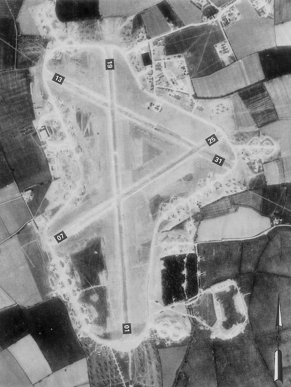
RAF Folkingham

Royal Air Force Folkingham or RAF Folkingham is a former Royal Air Force station located south west of Folkingham, Lincolnshire and about 29 miles (47...

Kirkby Underwood

Kirkby Underwood is a village and civil parish in the South Kesteven district of Lincolnshire, England. The population of the civil parish was 200 at the...

St Andrew's Church, Rippingale

The Church of St Andrew in Rippingale, Lincolnshire, England, is a Grade Iā€“listed Anglican church. The earliest phase of the church dates back to the mid...

Rippingale

Rippingale is a village and civil parish in the South Kesteven district of Lincolnshire, England. The population of the civil parish was 929 at the 2011...

Related Videos

Day 3 Macmillan Cross Britain Way Impassable Right of way Sempringham Folkingham Prison Wild camping

Filmed on the 17/08/2017 since then my video skills and equipment has improved alot :) I ended up camping in a fenced of area at ...

Nearby Amenities

Located within 500m of 52.857568,-0.403277
Low Park Farm
Place: farm
Source: Bing
Lat/Long: 52.8550652/-0.4071393
The data included in this document is from www.openstreetmap.org. The data is made available under ODbL.

Have you been to Aslackby and Laughton?

Leave your review of Aslackby and Laughton below (or comments, questions and feedback).