Ashwick

Civil Parish in Somerset Mendip

England

Ashwick

George Inn, Gurney Slade Public house on the Aa37
George Inn, Gurney Slade Credit: Eirian Evans

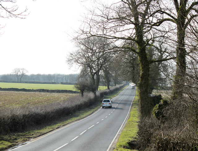
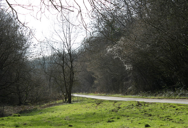
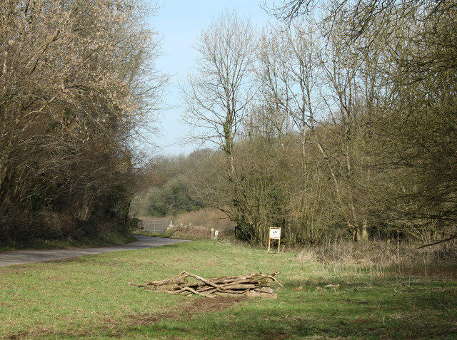
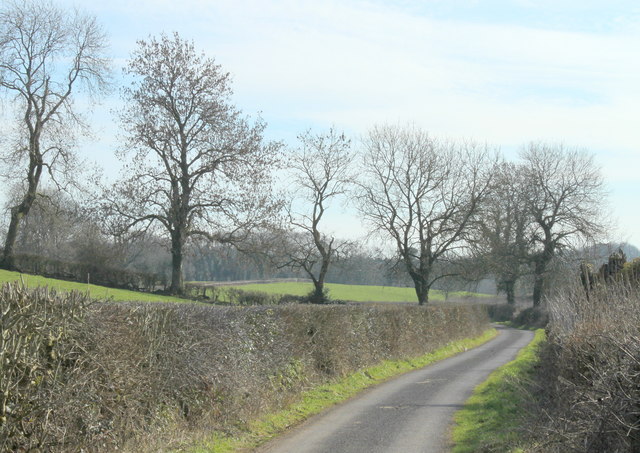
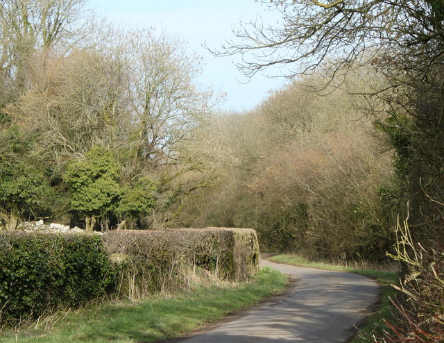
Ashwick is a civil parish located in the county of Somerset, England. It is situated in the Mendip Hills, a designated Area of Outstanding Natural Beauty. The parish covers an area of approximately 5 square miles and is surrounded by picturesque countryside, offering stunning views and a tranquil environment.

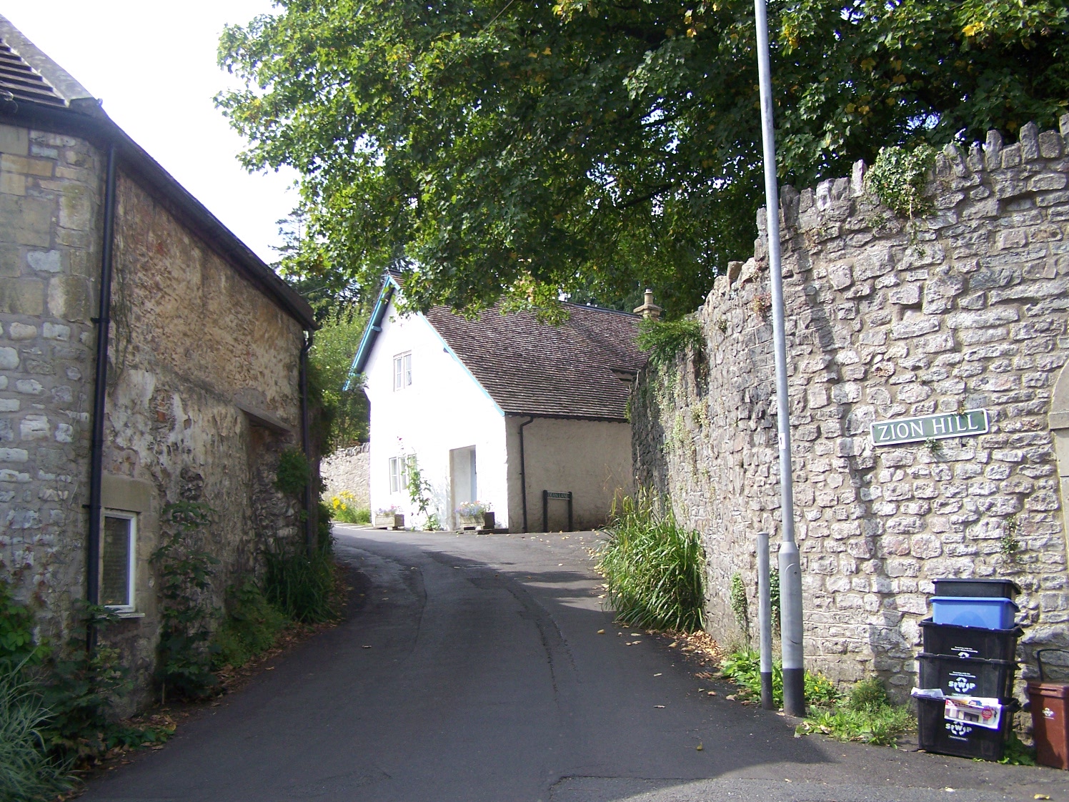
Ashwick is a small community with a population of around 200 residents, residing in a mix of traditional stone cottages and modern houses. The parish is primarily rural, with agriculture being the predominant industry. The fertile land supports a variety of agricultural activities, including farming and livestock rearing.

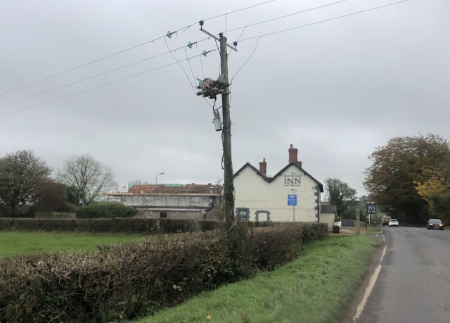
The parish is home to St. James Church, a Grade II listed building that dates back to the 13th century. The church serves as a focal point for religious services and community gatherings.

Nature enthusiasts will find plenty to explore in Ashwick. The area is known for its diverse wildlife and is a popular spot for birdwatching and nature walks. The Mendip Hills provide ample opportunities for outdoor activities such as hiking, cycling, and horse riding.

Despite its rural setting, Ashwick is conveniently located close to the town of Shepton Mallet, which offers a range of amenities including shops, schools, and healthcare facilities. The city of Bath is also within easy reach, providing residents with further access to cultural, recreational, and employment opportunities.

Overall, Ashwick offers a peaceful and idyllic setting for those seeking a rural lifestyle, with easy access to nearby urban amenities.

If you have any feedback on the listing, please let us know in the comments section below.

Ashwick Images

Images are sourced within 2km of 51.225939/-2.529995 or Grid Reference ST6347. Thanks to Geograph Open Source API. All images are credited.

George Inn, Gurney Slade Public house on the Aa37
George Inn, Gurney Slade
Public house on the Aa37
The Mendip Inn Public house on the A37
The Mendip Inn
Public house on the A37
Path and Sign at Beacon Hill Wood
Old Milepost by A37, Bristol Road, near junction of A37 and A367 The Milepost is located on grass verge on the East of the road.  Parish of Ashwick (Mendip District). Cast iron post, plated iron casting design, erected by the Shepton Mallet turnpike trust in the 19th Century. An earlier photograph can be found here: <a title="https://www.geograph.org.uk/photo/6061448" href="https://www.geograph.org.uk/photo/6061448">Link</a> 

Inscription reads:- 
SHEPTON / MALLET / 2  : : BRISTOL / 18 : : BATH / 15  

Grade II listed. List Entry Number: 1058479 <span class="nowrap"><a title="https://historicengland.org.uk/listing/the-list/list-entry/1058479" rel="nofollow ugc noopener" href="https://historicengland.org.uk/listing/the-list/list-entry/1058479">Link</a><img style="margin-left:2px;" alt="External link" title="External link - shift click to open in new window" src="https://s1.geograph.org.uk/img/external.png" width="10" height="10"/></span> 

Milestone Society National ID: SO_SMBR02
Old Milepost by A37, Bristol Road, near junction of A37 and A367
The Milepost is located on grass verge on the East of the road.  Parish of Ashwick (Mendip District). Cast iron post, plated iron casting design, erected by the Shepton Mallet turnpike trust in the 19th Century. An earlier photograph can be found here: Link  Inscription reads:- SHEPTON / MALLET / 2 : : BRISTOL / 18 : : BATH / 15 Grade II listed. List Entry Number: 1058479 LinkExternal link Milestone Society National ID: SO_SMBR02
2011 : Ashwick Court from Blackley Lane Blackley Lane follows the bottom of a small valley from Benter west to Badger's Cross. About half way along we see Ashwick Court at the top of the hill to the south.
2011 : Ashwick Court from Blackley Lane
Blackley Lane follows the bottom of a small valley from Benter west to Badger's Cross. About half way along we see Ashwick Court at the top of the hill to the south.
2011 : Crossroads with tractor at Badger's Cross A tractor with trailer waits to emerge carefully onto the minor road between Gurney Slade and Oakhill.
The signpost indicates Moorwood and Benter to the left and Shepton Mallet to the right.
2011 : Crossroads with tractor at Badger's Cross
A tractor with trailer waits to emerge carefully onto the minor road between Gurney Slade and Oakhill. The signpost indicates Moorwood and Benter to the left and Shepton Mallet to the right.
2011 : B3135 heading west After an quiet start from the A36 half a mile back the B3135 heads across the Mendips going through nowhere in particular (but doing it very well) to make a spectacular end passing through the Cheddar Gorge.
2011 : B3135 heading west
After an quiet start from the A36 half a mile back the B3135 heads across the Mendips going through nowhere in particular (but doing it very well) to make a spectacular end passing through the Cheddar Gorge.
2011 : A37 heading north toward Gurney Slade On to Ston Easton, Farrington Gurney, Pensford and Bristol.
A few yards behind the camera position the B3135 begins its journey west over the high Mendips to Cheddar.
2011 : A37 heading north toward Gurney Slade
On to Ston Easton, Farrington Gurney, Pensford and Bristol. A few yards behind the camera position the B3135 begins its journey west over the high Mendips to Cheddar.
2011 : View north from Blackey Lane On the other side of Blackey Lane from <a href="https://www.geograph.org.uk/photo/2308116">ST6348 : 2011 : Ashwick Court from Blackley Lane</a> looking up the northern slope of the valley in the direction of West Farm which is out of shot to the right.
2011 : View north from Blackey Lane
On the other side of Blackey Lane from ST6348 : 2011 : Ashwick Court from Blackley Lane looking up the northern slope of the valley in the direction of West Farm which is out of shot to the right.
2011 : Blackey Lane heading east Down the valley toward Benter.
The footpath (see sign) to the right takes the walker to Ashwick, less than half a mile, another path to the left climbs the side of the valley to West Farm and T'other Side The Hill.
2011 : Blackey Lane heading east
Down the valley toward Benter. The footpath (see sign) to the right takes the walker to Ashwick, less than half a mile, another path to the left climbs the side of the valley to West Farm and T'other Side The Hill.
2011 : Up Blackley Lane toward Badger's Cross The lane follows the valley floor between Benter and Badger's Cross becoming steeper further on.
2011 : Up Blackley Lane toward Badger's Cross
The lane follows the valley floor between Benter and Badger's Cross becoming steeper further on.
2011 : Blackey Lane heading east from Badger's Cross Soon to drop into a small valley which it follows to Benter.
2011 : Blackey Lane heading east from Badger's Cross
Soon to drop into a small valley which it follows to Benter.
2011 : Bay's Lane or Simbriss Road Somewhere around here Bay's Lane, from the north, becomes Simbriss Road heading south, or it could be Blackey Lane from the east - who cares.
One thing is for sure, it is near Badger's Cross.
2011 : Bay's Lane or Simbriss Road
Somewhere around here Bay's Lane, from the north, becomes Simbriss Road heading south, or it could be Blackey Lane from the east - who cares. One thing is for sure, it is near Badger's Cross.
2011 : Minor road to Gurney Slade At Badger's Cross.
2011 : Minor road to Gurney Slade
At Badger's Cross.
2011 : Beautiful Binegar Bottom An area of limestone quarries which are now well hidden.
2011 : Beautiful Binegar Bottom
An area of limestone quarries which are now well hidden.
2011 : At the bottom of Binegar Bottom Looking north east toward Binegar.
2011 : At the bottom of Binegar Bottom
Looking north east toward Binegar.
2011 : At the top of Binegar Bottom At the bend in the road the lane begins its fall into the valley of Binegar Bottom.
2011 : At the top of Binegar Bottom
At the bend in the road the lane begins its fall into the valley of Binegar Bottom.
2011 : Roemead Lane from Binegar Bottom
Show me another place!

Ashwick is located at Grid Ref: ST6347 (Lat: 51.225939, Lng: -2.529995)

Administrative County: Somerset

District: Mendip

Police Authority: Avon and Somerset

What 3 Words

///doubt.logbook.rainbow. Near Shepton Mallet, Somerset

Nearby Locations

Ashwick Oakhill Ashwick

Related Wikis

Oakhill

Oakhill is a village in the Mendip district of Somerset, England, in Ashwick parish approximately 2.5 miles (4 km) north of Shepton Mallet. It lies between...

Ashwick Court

Ashwick Court is Grade II listed house on Heckley Lane northwest of Ashwick, in Mendip district, eastern Somerset, England, adjacent to the Church of St...

Ashwick

Ashwick is a village in Somerset, England, about three miles north of Shepton Mallet and seven miles east from Wells. It has also been a civil parish since...

Harridge Wood

Harridge Wood is an area of woodland in Somerset, England. From about 1300 AD part of the wood was the scene of coal mining, which continued until around...

Maesbury Castle

Maesbury Castle is an Iron Age hill fort within the parish of Croscombe on the Mendip Hills, just north of Shepton Mallet, Somerset, England. It has been...

Gurney Slade quarry

Gurney Slade quarry, grid reference ST626497 is a limestone quarry near Gurney Slade between Binegar and Holcombe, on the Mendip Hills, Somerset, England...

Binegar railway station

Binegar railway station was a station on the Somerset and Dorset Joint Railway in the county of Somerset in England. Opened on 20 July 1874, the station...

Binegar

Binegar is a small village and civil parish in Somerset, England. It is located on the A37, 4 miles (6.4 km) east of Wells, between Shepton Mallet and...

Nearby Amenities

Located within 500m of 51.225939,-2.529995
Access: no
Barrier: bollard
Bicycle: yes
Foot: yes
Horse: yes
Motor Vehicle: no
Lat/Long: 51.223417/-2.5243059
Oakhill War Memorial
Historic: memorial
Material: stone
Memorial: war_memorial
Lat/Long: 51.2237879/-2.5237078
Post Box
Mapillary: 3119188138292597
Operator: Royal Mail
Operator Wikidata: Q638098
Post Box Type: pillar
Survey Date: 2021-08-16
Lat/Long: 51.2233915/-2.5276965
Bus Stop
Bus: yes
Note: Used by National Express
Public Transport: stop_area
Lat/Long: 51.2240164/-2.5235161
Galley Batch
Junction: yes
Lat/Long: 51.2275262/-2.5364501
Little London
Place: hamlet
Lat/Long: 51.2240606/-2.5342799
Oakhill
Place: village
Postal Code: BA3 5
Wikidata: Q7073901
Wikipedia: en:Oakhill
Lat/Long: 51.2249662/-2.5249133
Footway: path
Surface: paved
Lat/Long: 51.2265456/-2.5264207
Power: pole
Lat/Long: 51.2278941/-2.5364175
Power: pole
Lat/Long: 51.2278218/-2.5354627
Power: pole
Lat/Long: 51.2277463/-2.5343496
Power: pole
Lat/Long: 51.2276656/-2.533266
Power: pole
Lat/Long: 51.2275968/-2.5322601
Power: pole
Lat/Long: 51.2275262/-2.5311792
The data included in this document is from www.openstreetmap.org. The data is made available under ODbL.

Have you been to Ashwick?

Leave your review of Ashwick below (or comments, questions and feedback).