Oakhill
Settlement in Somerset Mendip
England
Oakhill
Oakhill is a small village located in the county of Somerset, England. Situated approximately 15 miles southwest of Bath, it falls within the Mendip district. With a population of around 1,200 residents, Oakhill offers a tranquil and picturesque setting surrounded by beautiful countryside.
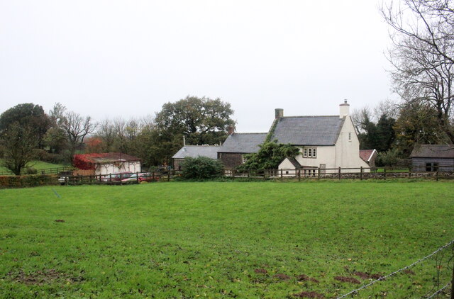
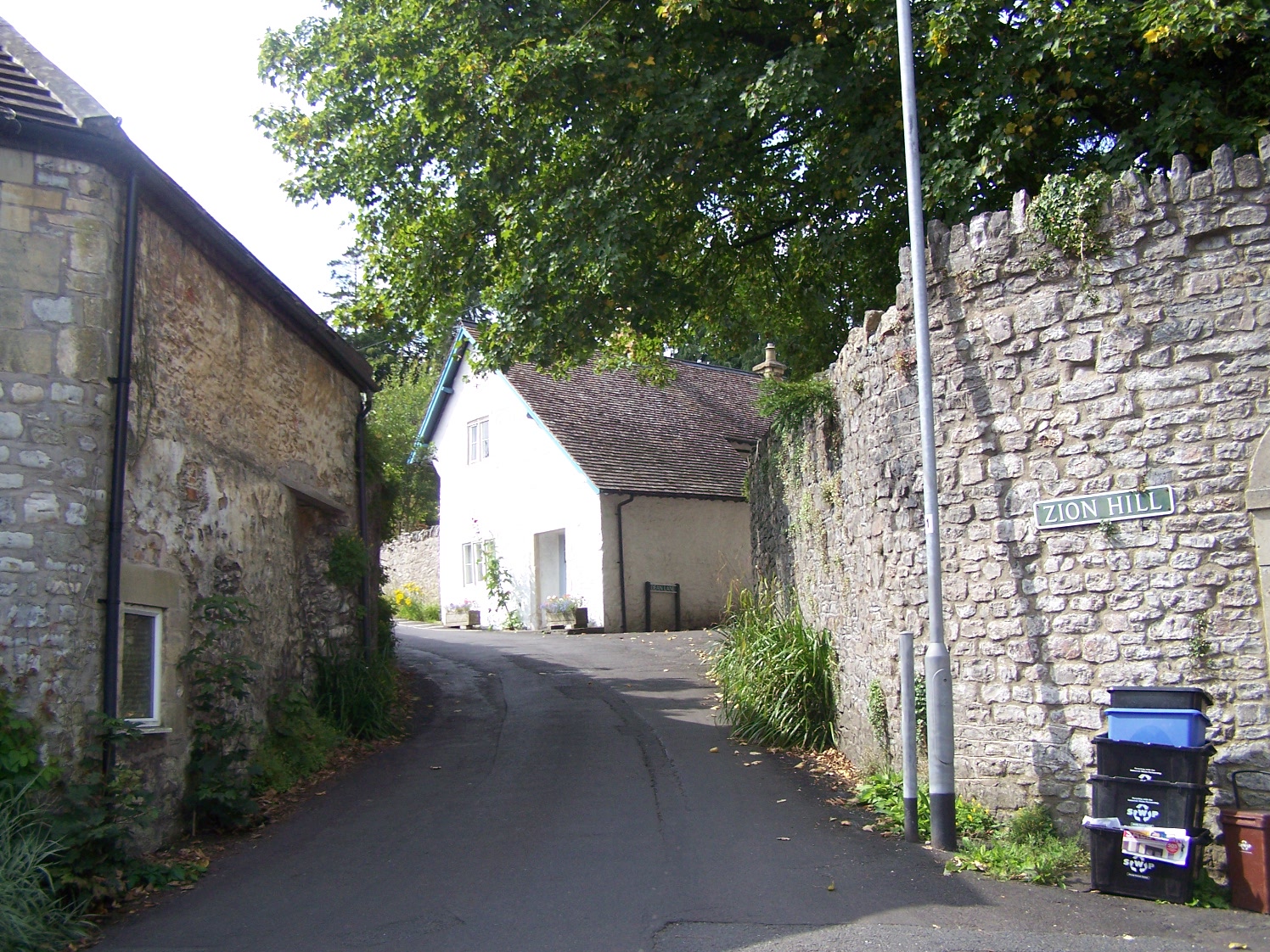
The village is known for its historic charm, with many of its buildings dating back several centuries. Traditional thatched cottages and stone houses line the streets, creating a sense of old-world charm. Oakhill also boasts a 13th-century church, St. Thomas a Becket, which is a prominent landmark in the area.
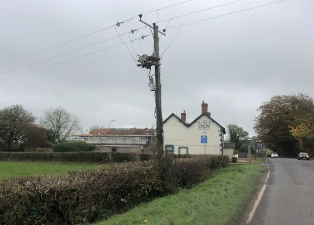
Despite its small size, Oakhill has a strong sense of community. The village has a primary school, a village hall, and a local pub, The Oakhill Inn, which serves as a popular meeting place for residents. Additionally, there are various community events and activities held throughout the year, including the Oakhill Summer Festival, which brings together locals and visitors alike.
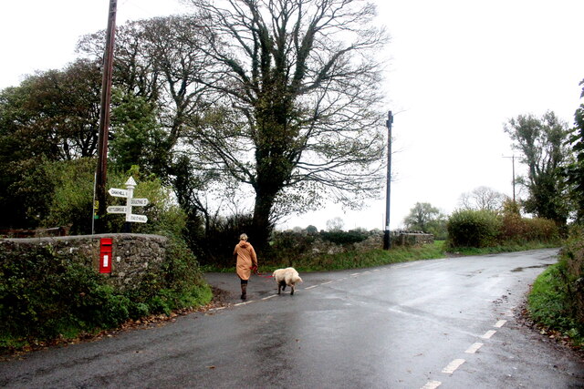
The surrounding countryside offers ample opportunities for outdoor activities. The Mendip Hills, an Area of Outstanding Natural Beauty, are within close proximity, providing residents with scenic walks, hiking trails, and cycling routes. Additionally, the nearby Chew Valley Lake offers a range of water sports and fishing opportunities.
Oakhill's location also provides easy access to larger towns and cities. The city of Bath, with its rich history and cultural attractions, is a short drive away, while Bristol and Wells are also within a reasonable distance.
In summary, Oakhill is a charming village in Somerset, offering a peaceful and close-knit community, historic architecture, and easy access to the beautiful countryside and nearby urban areas.
If you have any feedback on the listing, please let us know in the comments section below.
Oakhill Images
Images are sourced within 2km of 51.225368/-2.524962 or Grid Reference ST6347. Thanks to Geograph Open Source API. All images are credited.


Oakhill is located at Grid Ref: ST6347 (Lat: 51.225368, Lng: -2.524962)
Administrative County: Somerset
District: Mendip
Police Authority: Avon and Somerset
What 3 Words
///observer.handbook.harmonica. Near Shepton Mallet, Somerset
Related Wikis
Oakhill
Oakhill is a village in the Mendip district of Somerset, England, in Ashwick parish approximately 2.5 miles (4 km) north of Shepton Mallet. It lies between...

Ashwick
Ashwick is a village in Somerset, England, about three miles north of Shepton Mallet and seven miles east from Wells. It has also been a civil parish since...

Ashwick Court
Ashwick Court is Grade II listed house on Heckley Lane northwest of Ashwick, in Mendip district, eastern Somerset, England, adjacent to the Church of St...

Harridge Wood
Harridge Wood is an area of woodland in Somerset, England. From about 1300 AD part of the wood was the scene of coal mining, which continued until around...

Hillier's Cave
Hillier's Cave (grid reference ST65734753) is a cave in Fairy Cave Quarry, near Stoke St Michael in the limestone of the Mendip Hills, in Somerset, England...

Balch Cave
Balch Cave (grid reference ST65734753) is a cave in Fairy Cave Quarry, near Stoke St Michael in the limestone of the Mendip Hills, in Somerset, England...
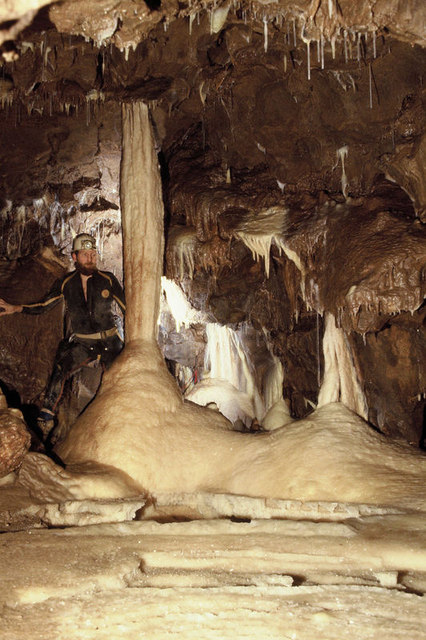
Shatter Cave
Shatter Cave is a cave in Fairy Cave Quarry, near Stoke St Michael in the limestone of the Mendip Hills, in Somerset, England. It falls within the St....

Fairy Cave Quarry
Fairy Cave Quarry (grid reference ST65734753) is between Stoke St Michael and Oakhill in the limestone of the Mendip Hills, in Somerset, England. Quarrying...
Nearby Amenities
Located within 500m of 51.225368,-2.524962Have you been to Oakhill?
Leave your review of Oakhill below (or comments, questions and feedback).