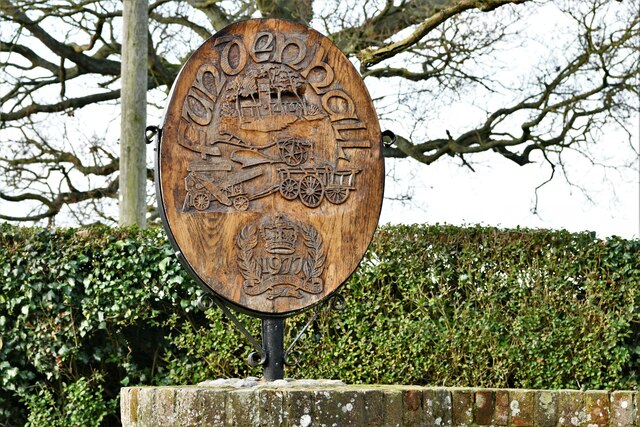
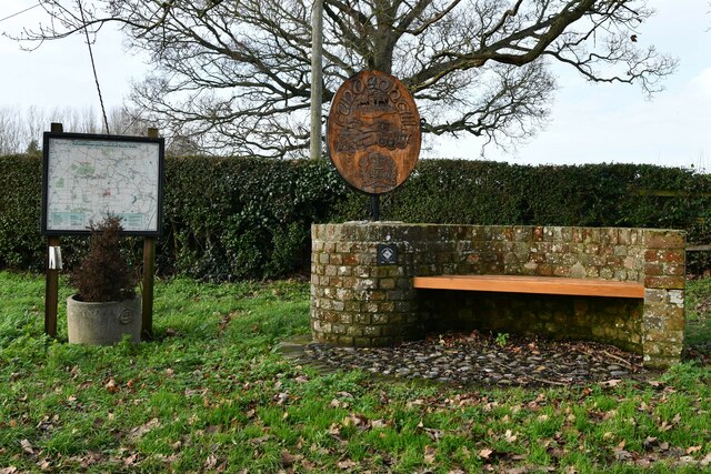
Ashwellthorpe and Fundenhall
Civil Parish in Norfolk South Norfolk
England
Ashwellthorpe and Fundenhall
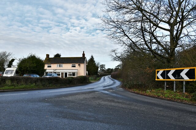
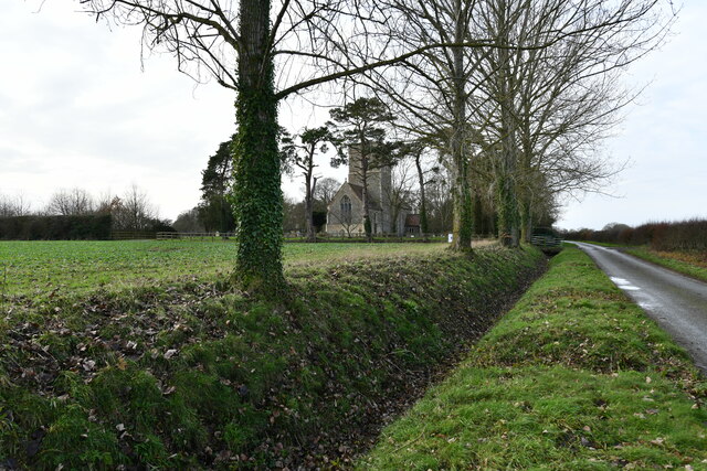
Ashwellthorpe and Fundenhall is a civil parish located in the county of Norfolk, England. The parish is situated approximately 10 miles south of Norwich, the county town. It is composed of two small villages, Ashwellthorpe and Fundenhall, which are separated by a distance of about 1.5 miles.
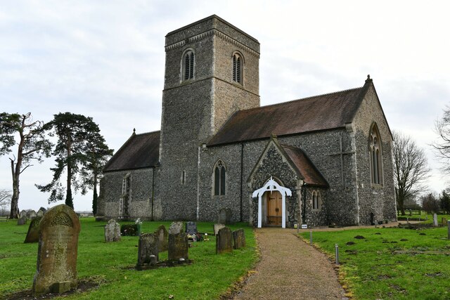
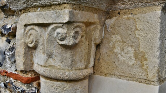
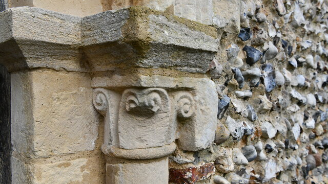
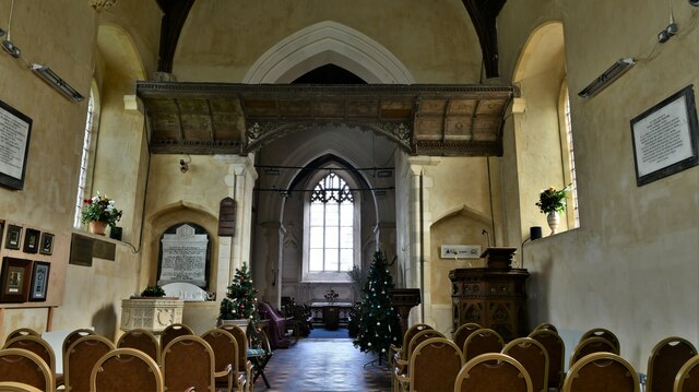
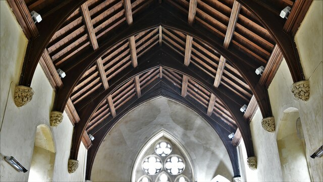
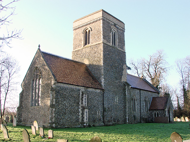
Ashwellthorpe is the larger of the two villages and is home to a population of around 500 people. It boasts a picturesque rural setting with a mix of traditional thatched cottages and modern houses. The village is known for its beautiful St. Nicholas Church, which dates back to the 14th century and is a prominent feature in the local landscape.
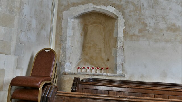
Fundenhall, on the other hand, is a smaller village with a population of approximately 250 residents. It is characterized by its quiet and peaceful atmosphere, surrounded by rolling countryside and farmland. The village is also home to a historic church, St. Nicholas Church, which dates back to the 12th century.
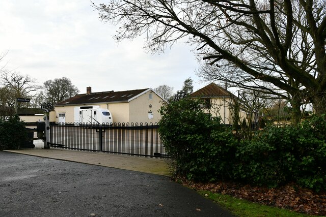
Both villages share a strong community spirit and offer a range of amenities for residents and visitors. These include a village hall, a primary school, a pub, and various local businesses. The area is well-connected by road, with easy access to the nearby A11 and A140 highways.
Ashwellthorpe and Fundenhall provide an idyllic setting for those seeking a rural lifestyle, while still being within commuting distance of Norwich and other nearby towns. The area is popular with nature enthusiasts and offers plenty of opportunities for outdoor activities, such as walking, cycling, and horse riding.
If you have any feedback on the listing, please let us know in the comments section below.
Ashwellthorpe and Fundenhall Images
Images are sourced within 2km of 52.528842/1.162837 or Grid Reference TM1497. Thanks to Geograph Open Source API. All images are credited.


Ashwellthorpe and Fundenhall is located at Grid Ref: TM1497 (Lat: 52.528842, Lng: 1.162837)
Administrative County: Norfolk
District: South Norfolk
Police Authority: Norfolk
What 3 Words
///fines.pill.texts. Near Hethel, Norfolk
Nearby Locations
Related Wikis
Ashwellthorpe and Fundenhall
Ashwellthorpe and Fundenhall is a civil parish in the English county of Norfolk, situated some 6 km south-east of Wymondham and 20 km south-west of Norwich...
Lower Wood, Ashwellthorpe
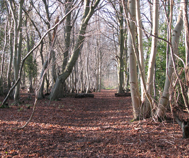
Lower Wood, Ashwellthorpe is a 37.9-hectare (94-acre) biological Site of Special Scientific Interest south-east of Wymondham in Norfolk. It is managed...
Ashwellthorpe railway station
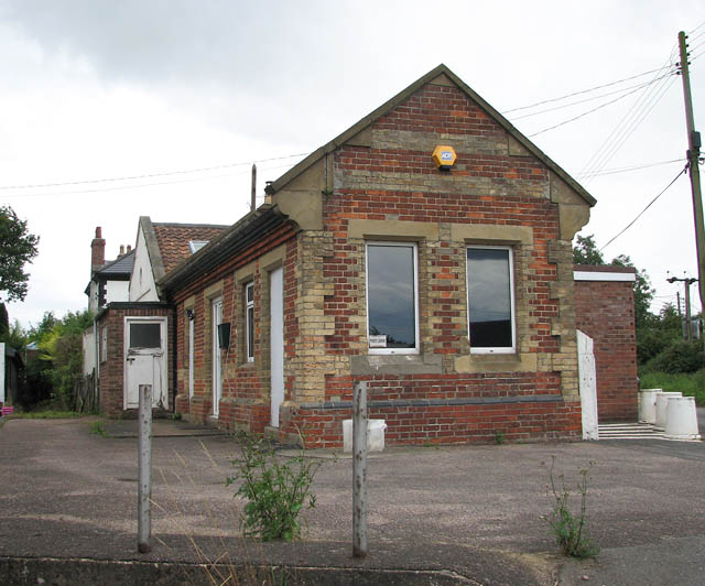
Ashwellthorpe was a railway station that existed in the village of Ashwellthorpe, Norfolk, on a cutoff line between Forncett and Wymondham. This entry...

Tacolneston Hall
Tacolneston Hall, in the village of Tacolneston in the county of Norfolk, has been the home of the Boileau baronets since the baronetcy was created in...

Tacolneston transmitting station
The Tacolneston transmitting station is a facility for both analogue and digital VHF/FM radio and UHF television transmission near Tacolneston, 11 miles...

Tacolneston
Tacolneston () is a village and civil parish in the South Norfolk District of Norfolk with a population of around 700, measured at the 2011 Census as a...

Wreningham
Wreningham is a village and civil parish in the English county of Norfolk. It is situated some 3 miles (4.8 km) south east of Wymondham and 9 miles (14...

Hapton, Norfolk
Hapton is a village and former civil parish, now in the parish of Tharston and Hapton, in the South Norfolk district, in the county of Norfolk, England...
Nearby Amenities
Located within 500m of 52.528842,1.162837Have you been to Ashwellthorpe and Fundenhall?
Leave your review of Ashwellthorpe and Fundenhall below (or comments, questions and feedback).