Ashurst and Colbury
Civil Parish in Hampshire New Forest
England
Ashurst and Colbury

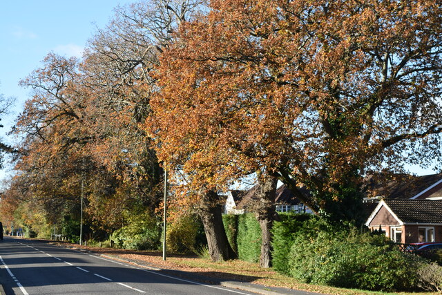
Ashurst and Colbury is a civil parish located in the county of Hampshire, England. Situated within the New Forest National Park, this rural area is known for its picturesque landscapes and natural beauty.
The parish consists of two small villages, Ashurst and Colbury, which are located just a few miles apart. Ashurst is the larger of the two, with a population of approximately 2,500 residents. It is a charming village with a mix of traditional and modern housing, as well as a variety of amenities such as shops, pubs, and a primary school. Colbury, with a population of around 1,000, is a smaller village that offers a peaceful and tranquil setting.
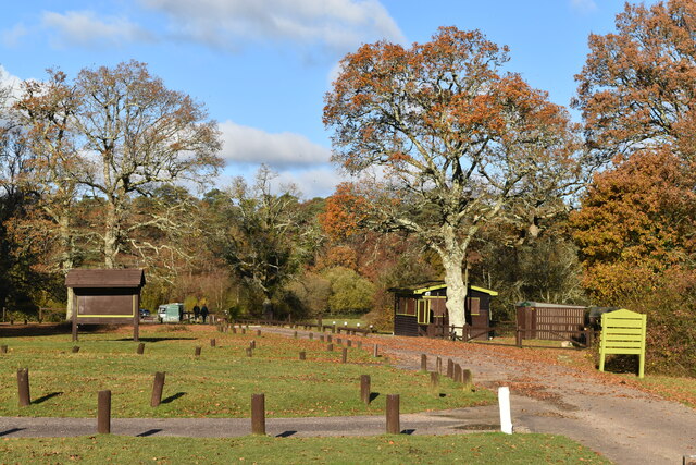
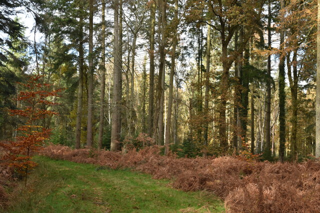
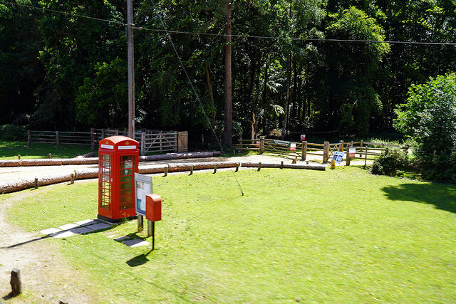
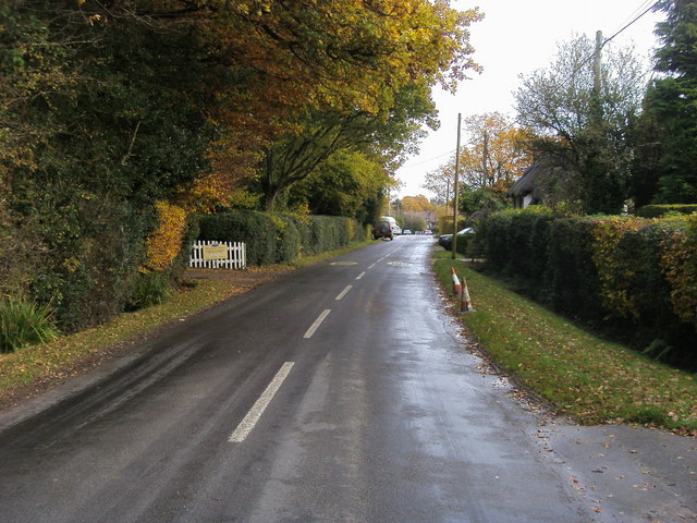
The area is surrounded by dense woodlands and heathland, making it a popular destination for outdoor enthusiasts. The New Forest National Park offers numerous walking and cycling trails, allowing visitors to explore the stunning countryside and spot the area's unique wildlife, including deer, ponies, and a variety of bird species.
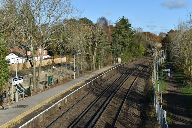
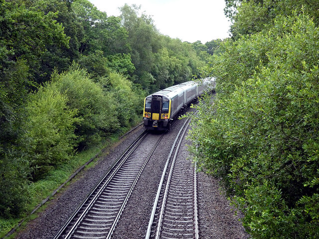
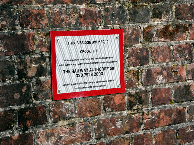
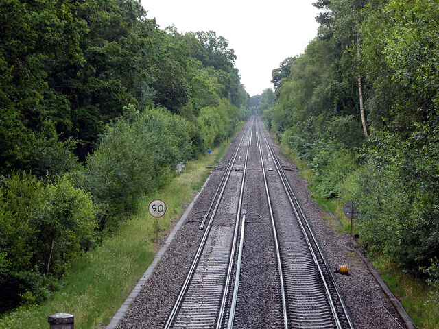
In addition to its natural attractions, Ashurst and Colbury is also well-connected to other parts of Hampshire. The nearby Ashurst railway station provides regular train services to Southampton, Winchester, and other major cities in the region.
Overall, Ashurst and Colbury offers a charming and idyllic setting, perfect for those seeking a peaceful retreat in the heart of the New Forest National Park.
If you have any feedback on the listing, please let us know in the comments section below.
Ashurst and Colbury Images
Images are sourced within 2km of 50.898009/-1.514585 or Grid Reference SU3411. Thanks to Geograph Open Source API. All images are credited.


![Cat on a hot tin roof But where's the cat?
[<span class="nowrap"><a title="https://en.wikipedia.org/wiki/Cat_on_a_Hot_Tin_Roof" rel="nofollow ugc noopener" href="https://en.wikipedia.org/wiki/Cat_on_a_Hot_Tin_Roof">Link</a><img style="margin-left:2px;" alt="External link" title="External link - shift click to open in new window" src="https://s1.geograph.org.uk/img/external.png" width="10" height="10"/></span>]
Actually, it&#039;s a mundane outbuilding at the New Forest Wildlife Park at Longdown.](https://s1.geograph.org.uk/geophotos/07/21/53/7215329_e6cd39cb.jpg)


Ashurst and Colbury is located at Grid Ref: SU3411 (Lat: 50.898009, Lng: -1.514585)
Administrative County: Hampshire
District: New Forest
Police Authority: Hampshire
What 3 Words
///toasted.available.enjoy. Near Totton, Hampshire
Nearby Locations
Related Wikis

Ashurst, Hampshire
Ashurst is a village in the New Forest district of Hampshire, England, which together with Colbury hamlet makes the parish of Ashurst and Colbury. Ashurst...

Colbury
Colbury is a small village in the New Forest National Park, in Hampshire, England. The village lies along Deerleap Lane, near the modern village of Ashurst...

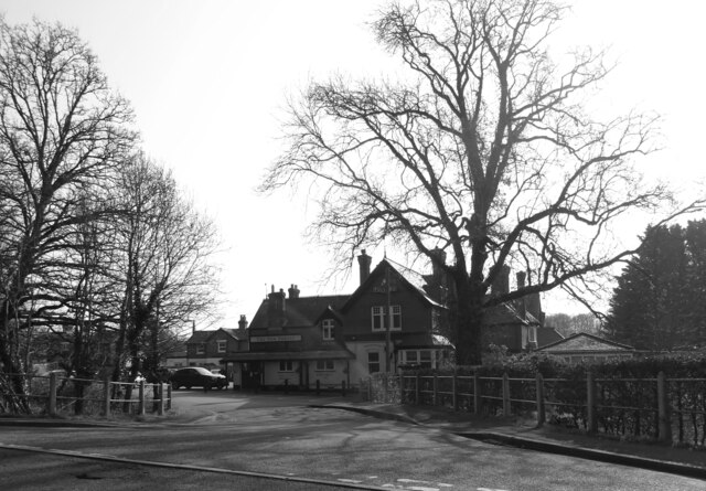
Ashurst New Forest railway station
Ashurst New Forest railway station is in Ashurst, Hampshire, England, on the South West Main Line from London Waterloo to Weymouth. It is 85 miles 43 chains...
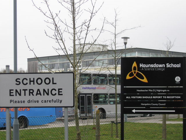
Hounsdown School
Hounsdown School is a secondary school in Totton, near Southampton, Hampshire, England The school has 1,215 pupils, spanning ages 11 to 16. Classes are...

New Forest Wildlife Park
The New Forest Wildlife Park (formerly The New Forest Otter, Owl and Wildlife Conservation Park) is located on the edge of The New Forest close to the...
Woodlands, Hampshire
Woodlands is a village in the New Forest National Park of Hampshire, England. The village lies 6 miles (9.7 km) west from Southampton and 2+3⁄4 miles...

Totton & Eling F.C.
Totton & Eling Football Club are a football club based in Totton & Eling, Hampshire, England. The club is affiliated to the Hampshire Football Association...

Wessex Institute of Technology
The Wessex Institute of Technology (usually referred to as just Wessex Institute or WIT) is an educational and research institute. WIT is located at Ashurst...
Related Videos

Dog walking & WILD HORSE spotting in THE NEW FOREST, Hampshire UK
Uploade schedule every Monday at 6pm GMT (apart from December and August in which it will be daily!) COMING IN 2023: ...
New forest hiking⛰️
去新森林徒步啦.
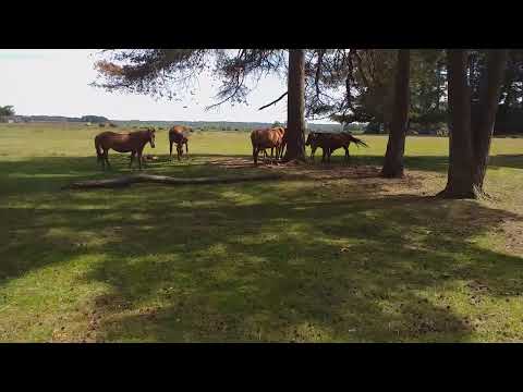
Horses @ The New Forest (Holiday. June 2022)
The New Forest Holiday.

Nearby Amenities
Located within 500m of 50.898009,-1.514585Have you been to Ashurst and Colbury?
Leave your review of Ashurst and Colbury below (or comments, questions and feedback).