Ashurst
Civil Parish in Sussex Horsham
England
Ashurst
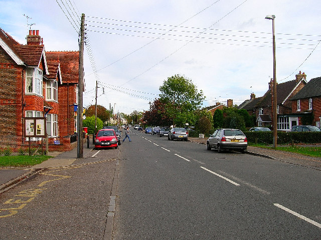
Ashurst is a civil parish located in the county of Sussex, England. It is situated in the South Downs National Park, approximately 9 miles north of the city of Brighton and Hove. The parish covers an area of around 5 square miles and is primarily rural, with a population of around 1,000 people.
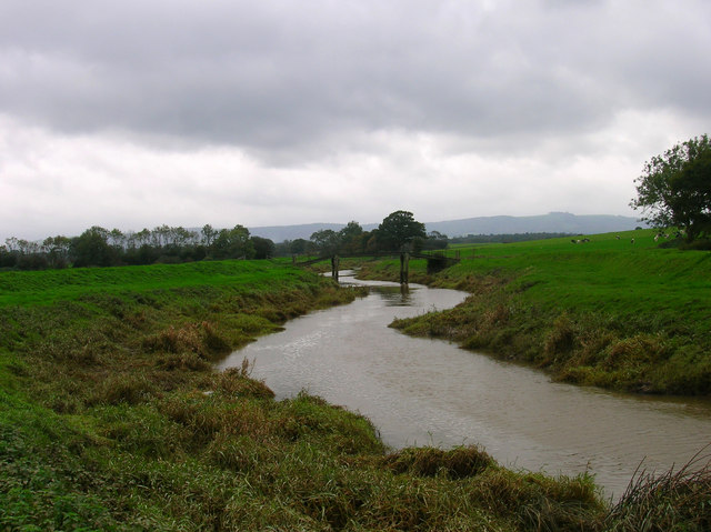
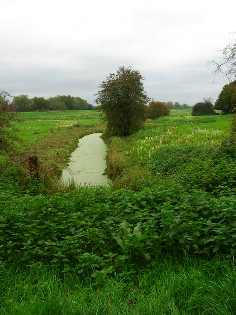
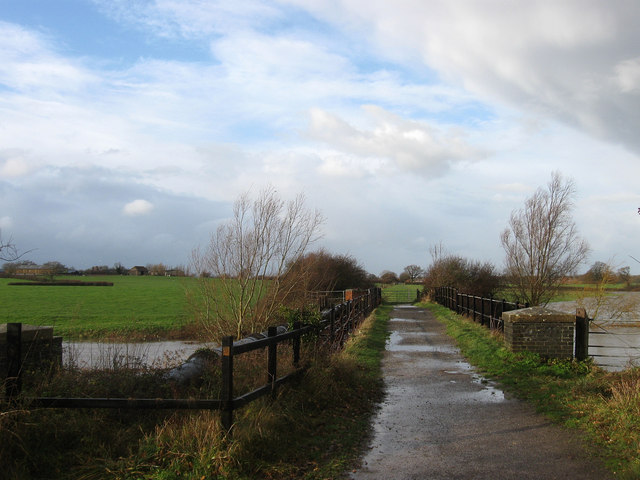
The landscape of Ashurst is characterized by rolling hills, woodlands, and farmland, making it a picturesque and tranquil area. The parish is surrounded by beautiful natural scenery, including the Ashurst Wood and the River Adur, which adds to its charm.
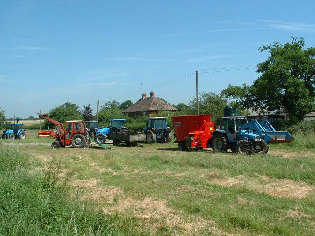
Historically, Ashurst was an agricultural community, with farming being the main occupation of its residents. Today, however, the economy has diversified, with many residents commuting to nearby towns and cities for work. Despite this, there are still some active farms in the area, contributing to the rural character of the parish.
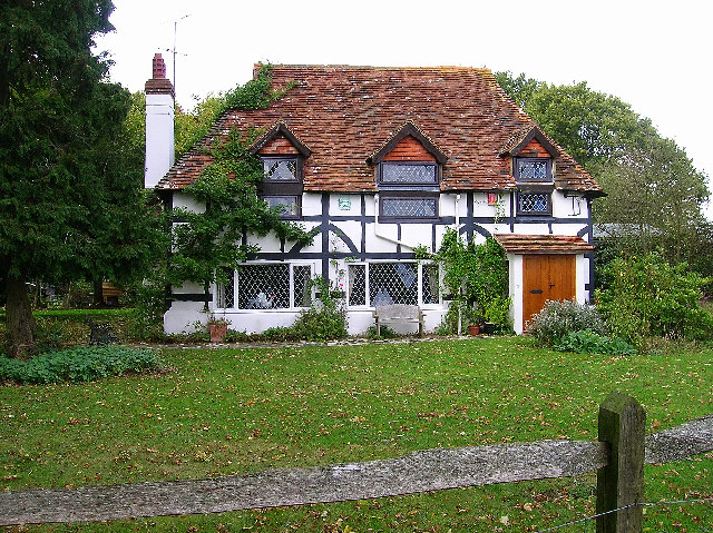
Ashurst is home to a number of historic buildings, including the Grade II listed St. James' Church, which dates back to the 12th century. The church is known for its beautiful stained glass windows and its architectural significance.
The parish has a strong sense of community, with various social and recreational activities organized throughout the year. These include local festivals, sports events, and community gatherings, providing opportunities for residents to come together and enjoy each other's company.
In conclusion, Ashurst is a charming and rural civil parish in Sussex, known for its scenic beauty, historic buildings, and strong sense of community.
If you have any feedback on the listing, please let us know in the comments section below.
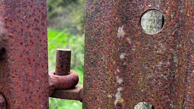
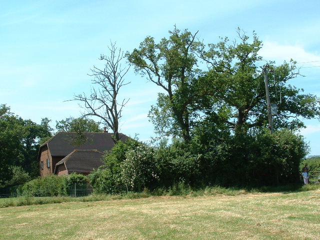
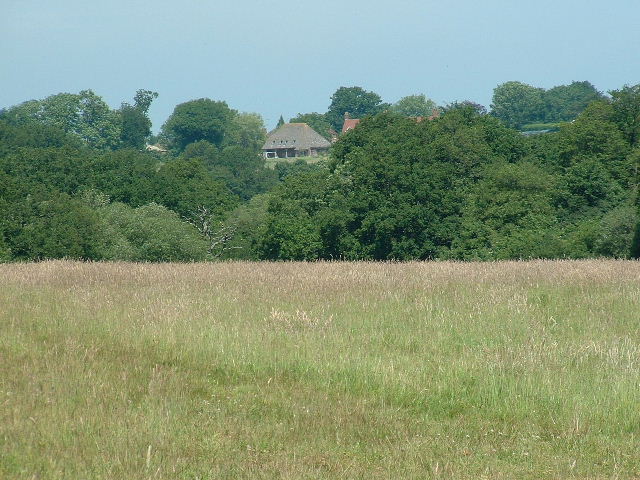
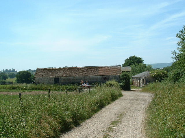
Ashurst Images
Images are sourced within 2km of 50.932158/-0.330761 or Grid Reference TQ1716. Thanks to Geograph Open Source API. All images are credited.


Ashurst is located at Grid Ref: TQ1716 (Lat: 50.932158, Lng: -0.330761)
Administrative County: West Sussex
District: Horsham
Police Authority: Sussex
What 3 Words
///walled.expiring.dozen. Near Ashurst, West Sussex
Related Wikis

St James's Church, Ashurst
St James's Church is a Church of England parish church in Ashurst, West Sussex. The church is a grade I listed building and it dates from the early 12th...

Ashurst, West Sussex
Ashurst is a village and civil parish in the Horsham District of West Sussex, England, about 2 miles (3.2 km) west of Henfield, and 11 miles (18 km) south...

Fountain Inn, Ashurst
The Fountain Inn is a 16th-century public house in the village of Ashurst, in the Horsham district of West Sussex, England. After a period as a farmhouse...

Bines Green
Bines Green is a hamlet in the Horsham District of West Sussex, England. It lies 1.9 miles (3.1 km) north west of Henfield on the B2135 road between Ashurst...
Betley Bridge
Betley Bridge is a disused railway bridge, now a rail trail bridge, which crosses the confluence of the East and West Adur rivers North of Henfield in...

Henfield railway station
Henfield was a railway station on the Steyning Line which served the village of Henfield. It was equipped with a siding which received coal to serve the...
Partridge Green railway station
Partridge Green was a railway station on the Steyning Line which served the village of Partridge Green. The station closed as a result of the Beeching...
Partridge Green
Partridge Green is a village in the Horsham District of West Sussex, England. It lies on the B2135 road 2.5 miles (4 km) north-west of Henfield. It is...
Related Videos
St Peters Student Weekend Away 2023!
In this video I am in Dalesdown on a student Weekend Away with St Peters church. Lydia's channel: A girl of hope ...
Nearby Amenities
Located within 500m of 50.932158,-0.330761Have you been to Ashurst?
Leave your review of Ashurst below (or comments, questions and feedback).