Ashley

Civil Parish in Cambridgeshire East Cambridgeshire

England

Ashley

Big fields on the edge of Cambridgeshire Looking east-southeast from the roadside opposite the farm on Upend Road. Suffolk is not far away.
Big fields on the edge of Cambridgeshire Credit: John Sutton

Ashley is a civil parish located in the district of East Cambridgeshire, within the county of Cambridgeshire, England. It is situated approximately 6 miles to the east of the city of Ely and about 16 miles north of Cambridge. The parish covers an area of about 5.5 square miles and has a population of around 400 residents.

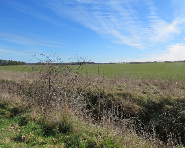
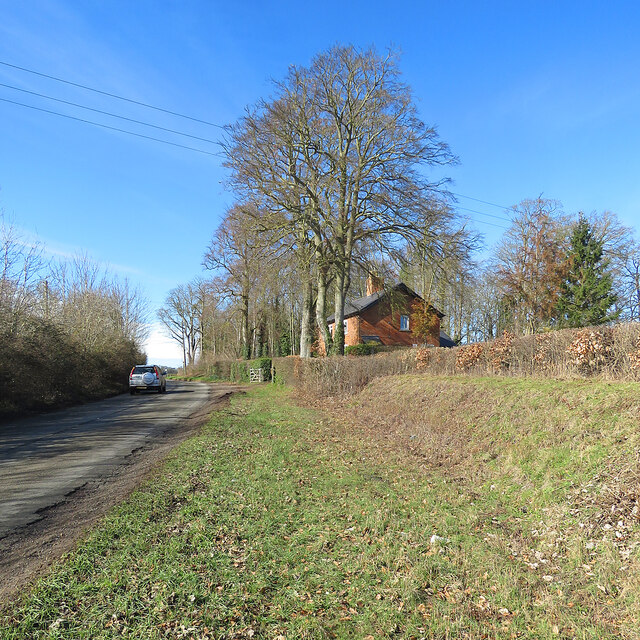
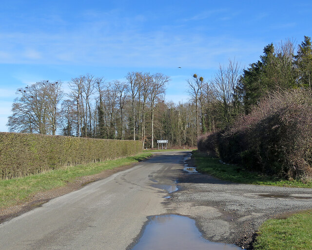
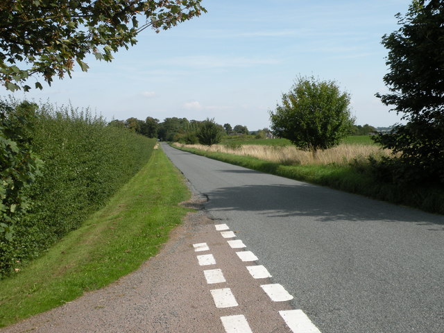
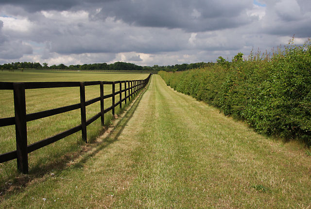
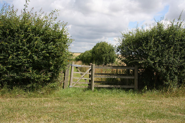
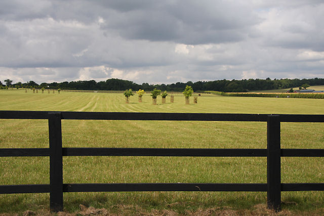
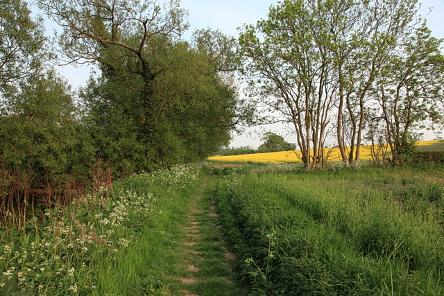
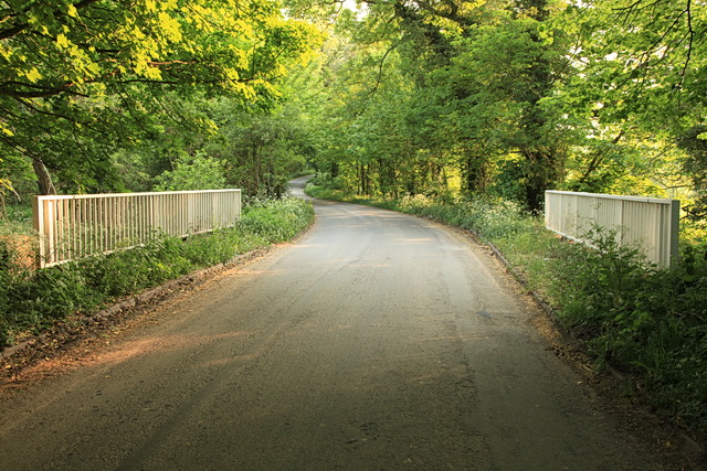
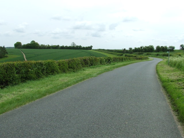
The village of Ashley itself is small and picturesque, known for its charming rural setting. It is surrounded by beautiful countryside, with farmland and fields dominating the landscape. The parish is predominantly agricultural, with farming being the main industry in the area.

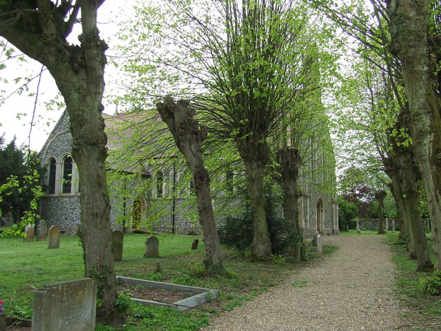
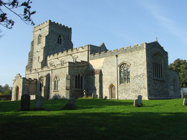
Ashley is a close-knit community, with a strong sense of community spirit. The village has a peaceful and tranquil atmosphere, offering a quiet and idyllic way of life. The parish is home to a church, St Mary's, which dates back to the 12th century and is a focal point for the local community.

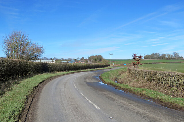
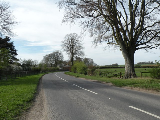
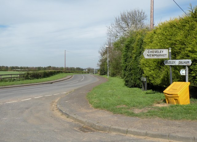
Despite its small size, Ashley is well-connected to nearby towns and cities. The A10 road, one of the major routes in the region, runs close to the parish, providing easy access to Ely, Cambridge, and other surrounding areas. The village is also served by a regular bus service, connecting it to nearby towns and villages.

Overall, Ashley, Cambridgeshire offers a charming and peaceful rural retreat for its residents, with a strong sense of community and a picturesque setting.

If you have any feedback on the listing, please let us know in the comments section below.

Ashley Images

Images are sourced within 2km of 52.224946/0.487647 or Grid Reference TL7061. Thanks to Geograph Open Source API. All images are credited.

Big fields on the edge of Cambridgeshire Looking east-southeast from the roadside opposite the farm on Upend Road. Suffolk is not far away.
Big fields on the edge of Cambridgeshire
Looking east-southeast from the roadside opposite the farm on Upend Road. Suffolk is not far away.
Patterned ground on a field at Silverley, SE of Ashley: aerial 2022
Silverley to Ashley on the B1063 Gently rolling country on the eastern edge of Cambridgeshire.
Silverley to Ashley on the B1063
Gently rolling country on the eastern edge of Cambridgeshire.
Silverley: the ruins of All Saints' Church Silverley was once big enough to have an impressive church, but is now no more than a farm and a few cottages. The settlement shifted northwards, to Ashley, and the church was abandoned in the sixteenth century. Only the ruined tower remains, in a copse. "Eminently picturesque in its decay. The interior especially fine, with the winding of the spiral stair ripped open" (Nikolaus Pevsner).
Silverley: the ruins of All Saints' Church
Silverley was once big enough to have an impressive church, but is now no more than a farm and a few cottages. The settlement shifted northwards, to Ashley, and the church was abandoned in the sixteenth century. Only the ruined tower remains, in a copse. "Eminently picturesque in its decay. The interior especially fine, with the winding of the spiral stair ripped open" (Nikolaus Pevsner).
Silverley: cottage and copse Now no more than a farm, a few cottages and a road junction, Silverley was once big enough to have an impressive church, whose ruined tower survives among the trees on the crest of the hill: <a href="https://www.geograph.org.uk/photo/7429779">TL7060 : Silverley: the ruins of All Saints' Church</a>.
Silverley: cottage and copse
Now no more than a farm, a few cottages and a road junction, Silverley was once big enough to have an impressive church, whose ruined tower survives among the trees on the crest of the hill: TL7060 : Silverley: the ruins of All Saints' Church.
Nearing Silverley This is the road from Cheveley and Broad Green. There's a hint of <a href="https://www.geograph.org.uk/photo/7429779">TL7060 : Silverley: the ruins of All Saints' Church</a> among the trees just to the right of the signpost.
Nearing Silverley
This is the road from Cheveley and Broad Green. There's a hint of TL7060 : Silverley: the ruins of All Saints' Church among the trees just to the right of the signpost.
Road from Woodditton to Ashley
Horse ride near Upend Many of the fields north of Upend are used as a stud farm. Here, the gap between a wooden fence and the hedgerow is a mown ride for exercising racehorses.
Horse ride near Upend
Many of the fields north of Upend are used as a stud farm. Here, the gap between a wooden fence and the hedgerow is a mown ride for exercising racehorses.
Footpath to Silverley The gate leads to a footpath between Upend to Silverley.
Footpath to Silverley
The gate leads to a footpath between Upend to Silverley.
Stud farm near Upend Looking westward from the public footpath between Silverley and Upend, across meadowland which is part of a large stud farm.
Stud farm near Upend
Looking westward from the public footpath between Silverley and Upend, across meadowland which is part of a large stud farm.
Part of the B1063, heading towards Newmarket This section of the B1063 is actually in the lost village of Silverley.  Just a short distance further on stands the ruined tower of Silverley church hidden behind trees.
Part of the B1063, heading towards Newmarket
This section of the B1063 is actually in the lost village of Silverley. Just a short distance further on stands the ruined tower of Silverley church hidden behind trees.
Gazeley Road viewed from Dalham Road
Footpath alongside the River Kennett Between Catford Bridge and Dalham
Footpath alongside the River Kennett
Between Catford Bridge and Dalham
Catford Bridge The road from Gazeley to Ashley, and the Icknield Way Path, cross the River Kennett at this bridge.
Catford Bridge
The road from Gazeley to Ashley, and the Icknield Way Path, cross the River Kennett at this bridge.
St Mary Ashley The church of St Mary, Ashley, Cambridgeshire. For more info on the church see <span class="nowrap"><a title="http://www.druidic.org/camchurch/churches/ashley.htm" rel="nofollow ugc noopener" href="http://www.druidic.org/camchurch/churches/ashley.htm">Link</a><img style="margin-left:2px;" alt="External link" title="External link - shift click to open in new window" src="https://s1.geograph.org.uk/img/external.png" width="10" height="10"/></span>
St Mary Ashley
The church of St Mary, Ashley, Cambridgeshire. For more info on the church see LinkExternal link
Memorial Plaque Memorial plaque to Mary A Langley in the church of St Mary, Ashley, Cambridgeshire  who was lost in the wreck of the RMS Empress of Ireland in 1914 for info on the wreck see <span class="nowrap"><a title="http://en.wikipedia.org/wiki/RMS_Empress_of_Ireland" rel="nofollow ugc noopener" href="http://en.wikipedia.org/wiki/RMS_Empress_of_Ireland">Link</a><img style="margin-left:2px;" alt="External link" title="External link - shift click to open in new window" src="https://s1.geograph.org.uk/img/external.png" width="10" height="10"/></span> and for a view of the church <a title="https://www.geograph.org.uk/photo/2956004" href="https://www.geograph.org.uk/photo/2956004">Link</a>
Memorial Plaque
Memorial plaque to Mary A Langley in the church of St Mary, Ashley, Cambridgeshire who was lost in the wreck of the RMS Empress of Ireland in 1914 for info on the wreck see LinkExternal link and for a view of the church Link
Road Signs Road signs and road junction near to Ashley, Cambridgeshire.
Road Signs
Road signs and road junction near to Ashley, Cambridgeshire.
Dalham Road Looking east along Dalham Road near to Dalham, Suffolk.
Dalham Road
Looking east along Dalham Road near to Dalham, Suffolk.
Show me another place!

Ashley is located at Grid Ref: TL7061 (Lat: 52.224946, Lng: 0.487647)

Administrative County: Cambridgeshire

District: East Cambridgeshire

Police Authority: Cambridgeshire

What 3 Words

///opposite.superhero.unsigned. Near Newmarket, Suffolk

Nearby Locations

Ashley Sylhall Plantation

Related Wikis

Ashley, Cambridgeshire

Ashley is a village and civil parish in the East Cambridgeshire district of Cambridgeshire, England, about 4 miles (6.4 km) east of Newmarket. The modern...

Moulton Rural District

Moulton was a rural district in Suffolk, England from 1894 to 1935. It covered the area to the east of the town of Newmarket. The district was created...
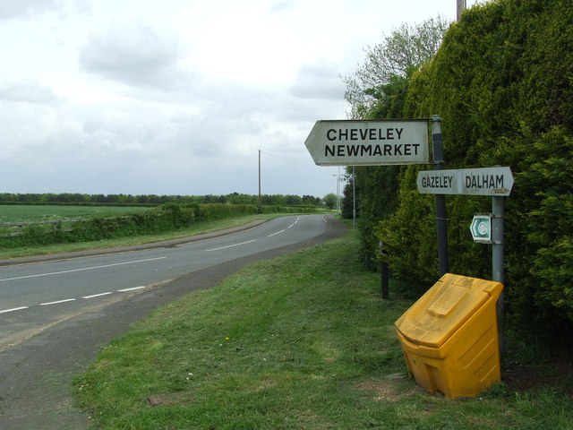
Cheveley

The village of Cheveley is situated in the county of Cambridgeshire and lies about four miles east-south-east of the market town of Newmarket. The population...
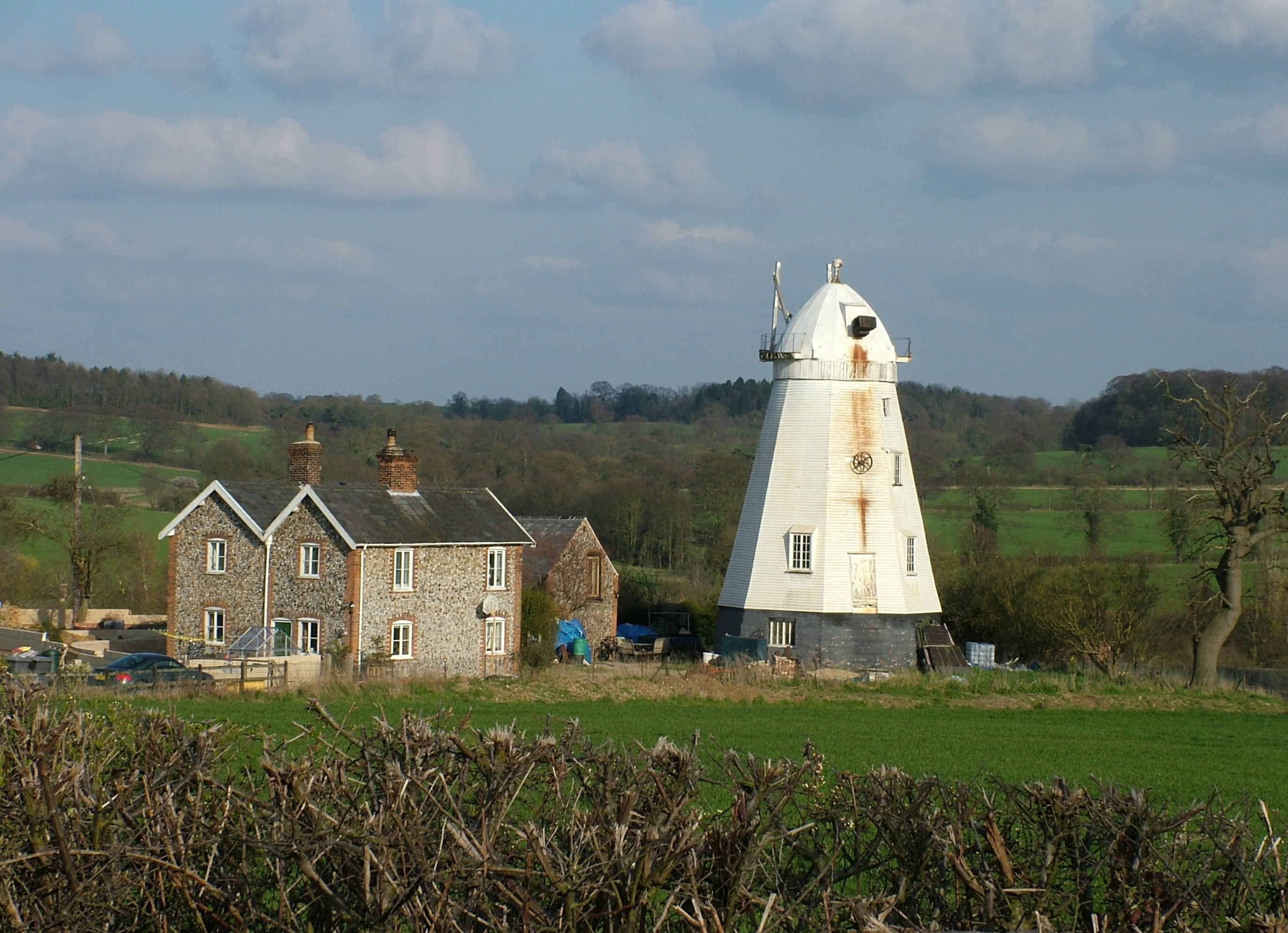
Lower Mill, Dalham

Lower Mill or Opposition Mill is a Grade II* listed smock mill at Dalham, Suffolk, England which has been preserved. == History == Lower Mill or Opposition...
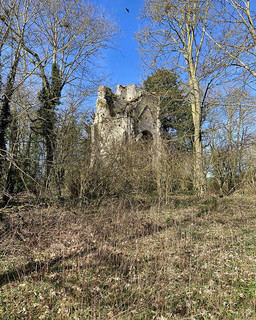
Cheveley Castle

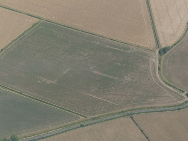
Cheveley Castle was a medieval fortified manor house near Cheveley, Cambridgeshire, England. == Details == Cheveley Castle was built by Sir John Pulteney...

Dalham

Dalham is a village and civil parish in the West Suffolk district of Suffolk, England. The name, meaning 'homestead/village in a valley' is of Old English...

Dalham Hall

Dalham Hall is a country house and 3,300-acre (13 km2) estate, located in the village of Dalham, Suffolk, near Newmarket, and 13 kilometres (8 mi) west...

Beech House Stud

Beech House Stud is an English Thoroughbred racehorse breeding farm located on Cheveley Road near Newmarket, Suffolk currently owned by Sheikh Hamdan bin...

Nearby Amenities

Located within 500m of 52.224946,0.487647
Ashley
Created By: POI Editor
Is In: Suffolk,England,UK
Place: village
Source: npe
Wikidata: Q2708018
Lat/Long: 52.2274533/0.4853366
Post Box
Collection Times: Mo-Fr 17:15; Sa 10:30
Operator: Royal Mail
Post Box Design: type_m
Post Box Type: pillar
Ref: CB8 56
Royal Cypher: EIIR
Royal Cypher Wikidata: Q33102113
Source: survey
Lat/Long: 52.2259558/0.4840242
Ashley Stores
Shop: convenience
Lat/Long: 52.226095/0.4839034
Pub
The Crown
Wikidata: Q26419294
Lat/Long: 52.2268905/0.4834471
Restaurant
The Old Plough
Lat/Long: 52.2251982/0.4838937
Bus Stop
Chapel Row
Naptan AtcoCode: 0500EASHL001
Naptan Bearing: S
Naptan CommonName: Chapel Row
Naptan Indicator: near
Naptan Landmark: Chapel Row
Naptan NaptanCode: cmbgdtjm
Naptan ShortCommonName: Chapel Row
Naptan Street: Mill Road
Naptan Verified: no
Source: naptan_import
Lat/Long: 52.2266716/0.4848304
Bus Stop
Silverley Way
Naptan AtcoCode: 0500EASHL002
Naptan Bearing: S
Naptan BusStopType: CUS
Naptan CommonName: Silverley Way
Naptan Indicator: opp
Naptan Landmark: Silverley Way
Naptan NaptanCode: cmbdgdwp
Naptan ShortCommonName: Silverley Way
Naptan Street: High Street
Naptan Verified: no
Source: naptan_import
Lat/Long: 52.2241438/0.4844402
Bus Stop
Chapel Row
Naptan AtcoCode: 0500EASHL003
Naptan Bearing: S
Naptan BusStopType: CUS
Naptan CommonName: Chapel Row
Naptan Indicator: opp
Naptan Landmark: Church Street
Naptan NaptanCode: cmbdgdwt
Naptan ShortCommonName: Chapel Row
Naptan Street: Mill Road
Naptan Verified: no
Source: naptan_import
Lat/Long: 52.2269162/0.4847415
Bus Stop
Silverley Way
Naptan AtcoCode: 0500EASHL004
Naptan Bearing: N
Naptan BusStopType: CUS
Naptan CommonName: Silverley Way
Naptan Indicator: near
Naptan Landmark: Silverley Way
Naptan NaptanCode: cmbdgjad
Naptan ShortCommonName: Silverley Way
Naptan Street: High Street
Naptan Verified: no
Source: naptan_import
Lat/Long: 52.2241376/0.4843081
Bench
Lat/Long: 52.2233512/0.4841123
Power: pole
Lat/Long: 52.2274926/0.4827935
Power: pole
Lat/Long: 52.2280577/0.488343
Power: pole
Lat/Long: 52.2278405/0.4893113
Power: pole
Lat/Long: 52.2275751/0.4905451
Power: pole
Lat/Long: 52.2280315/0.4861959
Power: pole
Lat/Long: 52.2280187/0.4848696
The data included in this document is from www.openstreetmap.org. The data is made available under ODbL.

Have you been to Ashley?

Leave your review of Ashley below (or comments, questions and feedback).