Sylhall Plantation
Wood, Forest in Cambridgeshire East Cambridgeshire
England
Sylhall Plantation
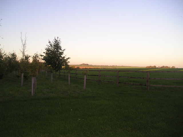
Sylhall Plantation is a picturesque woodland located in Cambridgeshire, England. Spanning over 500 acres, it is known for its rich biodiversity and stunning natural beauty. The plantation is primarily composed of a mix of coniferous and deciduous trees, including oak, beech, and pine, creating a diverse and vibrant ecosystem.
The woodland is a popular destination for nature enthusiasts, offering a wide range of recreational activities such as hiking, birdwatching, and nature photography. The well-maintained trails wind through the plantation, allowing visitors to explore the different habitats and enjoy the tranquil surroundings.
One of the highlights of Sylhall Plantation is its abundance of wildlife. The woodland is home to various species of birds, including the rare nightjar and woodcock, making it a haven for birdwatchers. Additionally, the plantation provides a habitat for mammals such as deer, foxes, and badgers, adding to the allure for wildlife enthusiasts.
The management of Sylhall Plantation is focused on sustainable practices, ensuring the long-term health and preservation of the woodland. Regular tree planting and maintenance programs are carried out to maintain the diversity of the flora and fauna. Moreover, the plantation actively collaborates with local conservation organizations to protect and enhance the natural environment.
Overall, Sylhall Plantation in Cambridgeshire offers a serene and enchanting experience for nature lovers and provides a valuable habitat for a wide range of plant and animal species.
If you have any feedback on the listing, please let us know in the comments section below.
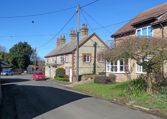
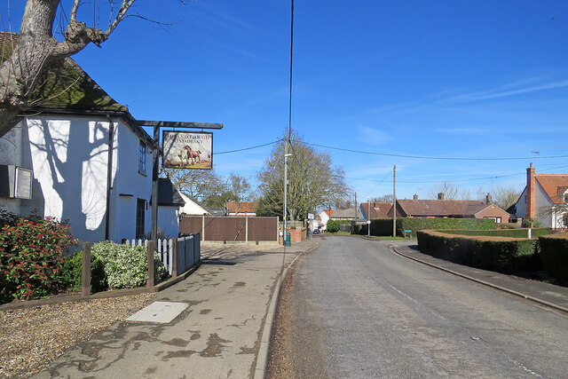
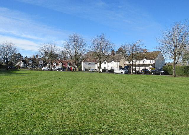
Sylhall Plantation Images
Images are sourced within 2km of 52.221762/0.48959715 or Grid Reference TL7061. Thanks to Geograph Open Source API. All images are credited.


Sylhall Plantation is located at Grid Ref: TL7061 (Lat: 52.221762, Lng: 0.48959715)
Administrative County: Cambridgeshire
District: East Cambridgeshire
Police Authority: Cambridgeshire
What 3 Words
///bullion.teamed.salads. Near Newmarket, Suffolk
Nearby Locations
Related Wikis

Ashley, Cambridgeshire
Ashley is a village and civil parish in the East Cambridgeshire district of Cambridgeshire, England, about 4 miles (6.4 km) east of Newmarket. The modern...
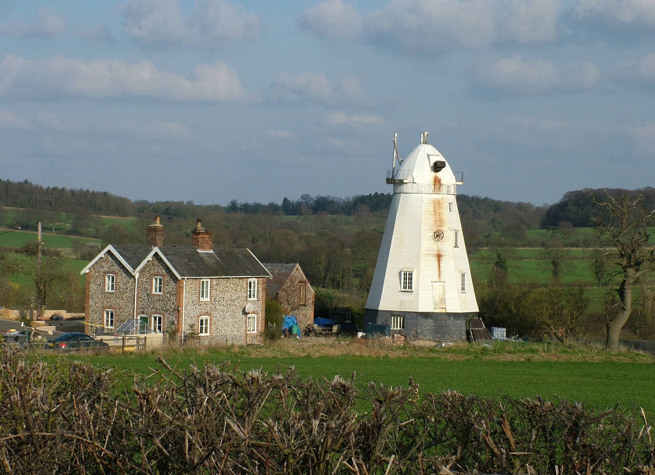
Lower Mill, Dalham
Lower Mill or Opposition Mill is a Grade II* listed smock mill at Dalham, Suffolk, England which has been preserved. == History == Lower Mill or Opposition...

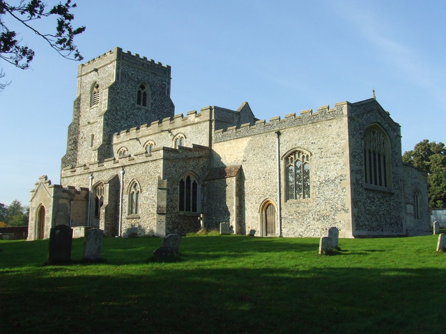
Cheveley
The village of Cheveley is situated in the county of Cambridgeshire and lies about four miles east-south-east of the market town of Newmarket. The population...

Moulton Rural District
Moulton was a rural district in Suffolk, England from 1894 to 1935. It covered the area to the east of the town of Newmarket. The district was created...
Dalham
Dalham is a village and civil parish in the West Suffolk district of Suffolk, England. The name, meaning 'homestead/village in a valley' is of Old English...
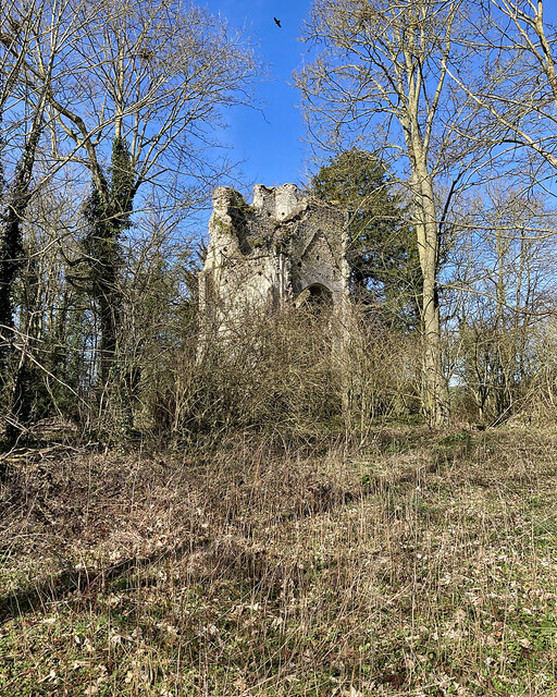
Cheveley Castle
Cheveley Castle was a medieval fortified manor house near Cheveley, Cambridgeshire, England. == Details == Cheveley Castle was built by Sir John Pulteney...

Dalham Hall
Dalham Hall is a country house and 3,300-acre (13 km2) estate, located in the village of Dalham, Suffolk, near Newmarket, and 13 kilometres (8 mi) west...
Beech House Stud
Beech House Stud is an English Thoroughbred racehorse breeding farm located on Cheveley Road near Newmarket, Suffolk currently owned by Sheikh Hamdan bin...
Related Videos
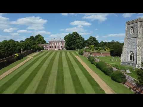
Dalham, Suffolk | Drone Footage
Dalham, Suffolk | Drone Footage. The English countryside on full display with this aerial shot of a magnificent house.
Nearby Amenities
Located within 500m of 52.221762,0.48959715Have you been to Sylhall Plantation?
Leave your review of Sylhall Plantation below (or comments, questions and feedback).