Ashley
Civil Parish in Northamptonshire
England
Ashley

Ashley is a civil parish located in Northamptonshire, England. It is situated about 10 miles south-west of the county town, Northampton. With a population of around 500 residents, it is a small and close-knit community.
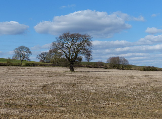
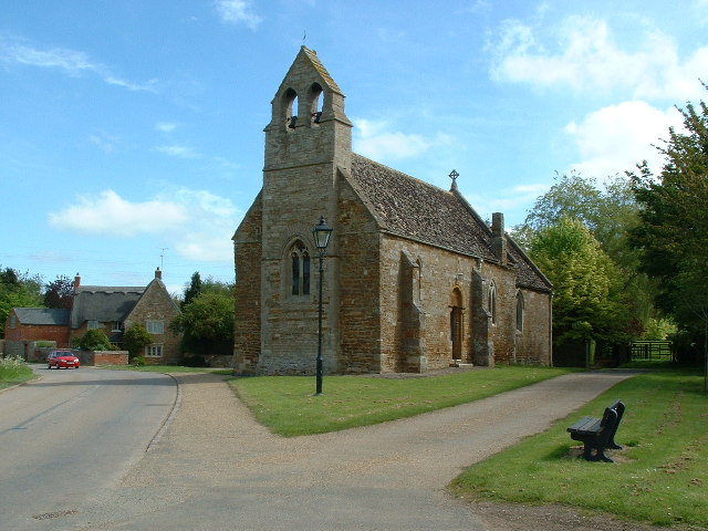
The village of Ashley is known for its picturesque countryside and charming rural setting. It is surrounded by rolling hills, lush green fields, and scenic woodlands, making it an ideal location for outdoor enthusiasts and nature lovers. The parish is also home to a number of historic buildings and landmarks, including St Mary's Church, which dates back to the 12th century.
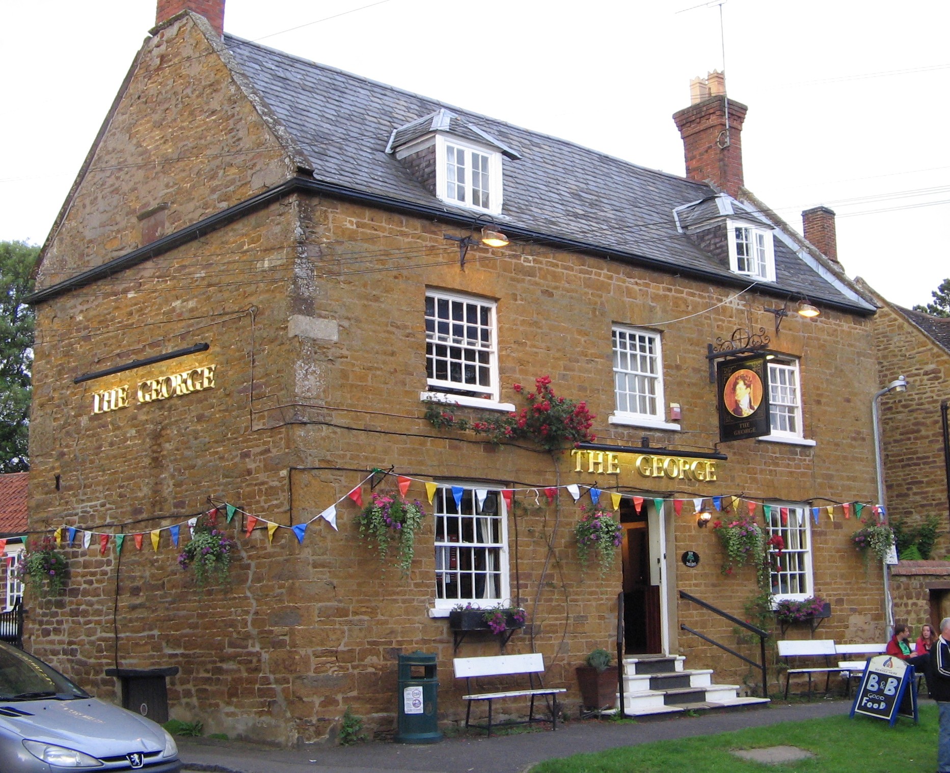
Despite its small size, Ashley offers a range of amenities and services for its residents. These include a village hall, a primary school, a pub, and a post office. The village hall serves as a hub for community events and activities, providing a venue for social gatherings, meetings, and local clubs.
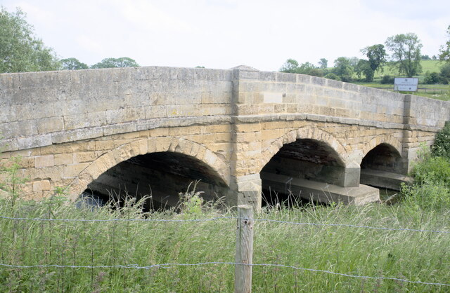
Ashley benefits from excellent transport links, with the nearby A5 and M1 motorway providing easy access to neighboring towns and cities. The village also has a regular bus service, connecting it to Northampton and other surrounding areas.
Overall, Ashley is a peaceful and picturesque village that offers a high quality of life for its residents. With its beautiful countryside, historic buildings, and strong sense of community, it is a desirable place to live for those seeking a rural lifestyle in Northamptonshire.
If you have any feedback on the listing, please let us know in the comments section below.
Ashley Images
Images are sourced within 2km of 52.509802/-0.825249 or Grid Reference SP7990. Thanks to Geograph Open Source API. All images are credited.


Ashley is located at Grid Ref: SP7990 (Lat: 52.509802, Lng: -0.825249)
Unitary Authority: North Northamptonshire
Police Authority: Northamptonshire
What 3 Words
///reacting.convey.decide. Near Cottingham, Northamptonshire
Related Wikis
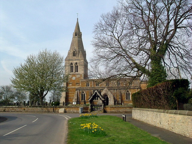
Church of St Mary the Virgin, Ashley
The Church of St Mary the Virgin is a church in Ashley, Northamptonshire. == History == The church is of 13th-century origin and is made of local Northamptonshire...

Ashley and Weston railway station
Ashley and Weston railway station was a station in Northamptonshire, serving the settlements of Ashley and Weston. It was located just east of Welham...
Ashley, Northamptonshire
Ashley is a village and civil parish in the North Northamptonshire, England, about 4 miles (6.4 km) northeast of Market Harborough, Leicestershire and...

Medbourne
Medbourne is a village and civil parish in the Harborough district, in the county of Leicestershire, England. The population of the civil parish at the...

Weston by Welland
Weston by Welland is a village and civil parish in the north of the English county of Northamptonshire administered as part of North Northamptonshire....
All Saints Church, Sutton Bassett
All Saints is the local parish Church of England church for Sutton Bassett, Northamptonshire. It was built as an annexe to St. Mary's Church in the nearby...
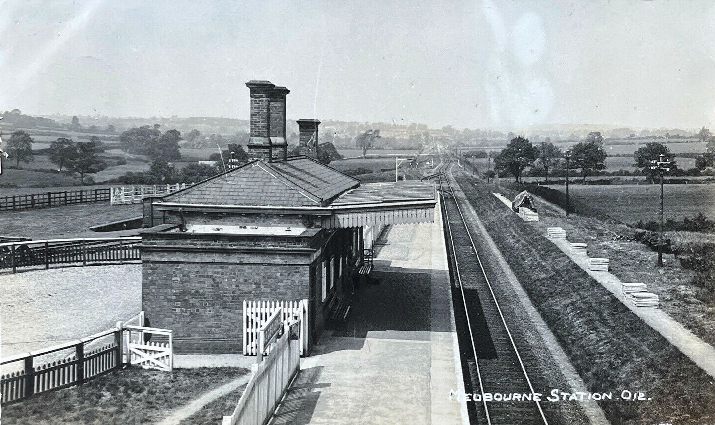
Medbourne railway station
Medbourne railway station was a station in Medbourne, Leicestershire, on the Great Northern and London and North Western Joint Railway. It was between...
Sutton Bassett
Sutton Bassett is a village and civil parish in Northamptonshire, England, in the Welland valley. It was formerly in the Corby Hundred but has been part...
Nearby Amenities
Located within 500m of 52.509802,-0.825249Have you been to Ashley?
Leave your review of Ashley below (or comments, questions and feedback).