Ashington
Civil Parish in Sussex Horsham
England
Ashington

Ashington is a civil parish located in the county of Sussex, England. It is situated approximately 10 miles north of the coastal town of Worthing and 11 miles south of the historic market town of Horsham. The parish covers an area of around 7 square miles and is home to a population of approximately 6,500 people.
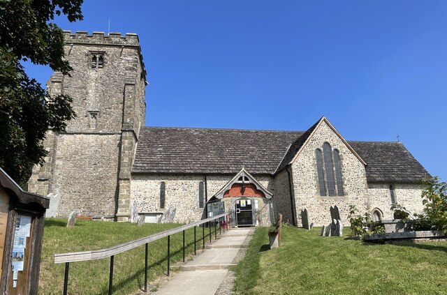
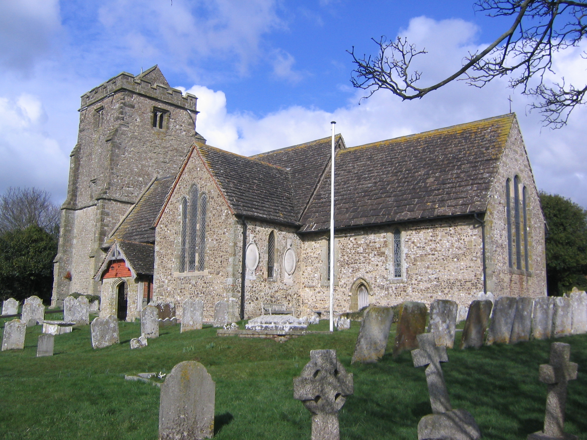
The village of Ashington itself is the main settlement within the parish. It is a traditional English village with a charming rural atmosphere and a range of amenities to cater to the needs of the local community. These include a primary school, a church, a village hall, a post office, and several shops and pubs.
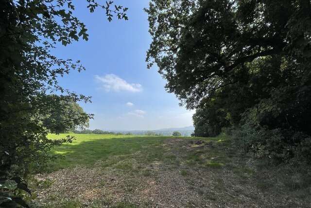
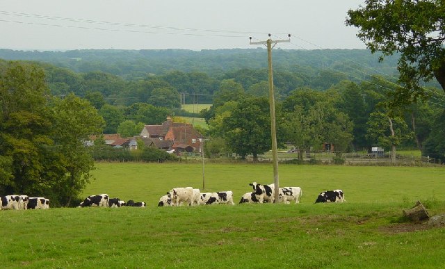
Ashington is surrounded by beautiful countryside, making it an attractive location for outdoor enthusiasts. The South Downs National Park is located just a few miles to the north, offering stunning landscapes and opportunities for hiking, cycling, and horse riding. The parish also benefits from its proximity to the coast, with popular seaside destinations such as Brighton only a short drive away.
In terms of transport links, Ashington is well-connected. The A24 road runs through the parish, providing easy access to nearby towns and cities. The village is also served by regular bus services, connecting it to surrounding areas. The nearest railway station is located in Pulborough, approximately 5 miles west of Ashington.
Overall, Ashington is a picturesque civil parish with a close-knit community and easy access to both the countryside and the coast. It offers a peaceful and rural lifestyle while still providing convenient amenities and transport links.
If you have any feedback on the listing, please let us know in the comments section below.
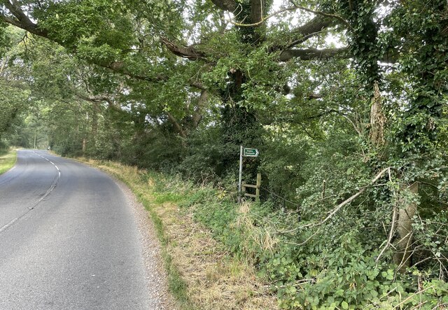
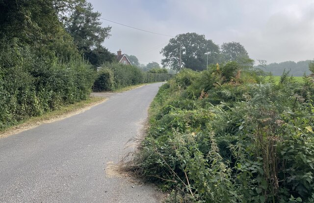
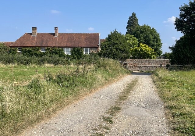
Ashington Images
Images are sourced within 2km of 50.937217/-0.397204 or Grid Reference TQ1216. Thanks to Geograph Open Source API. All images are credited.


Ashington is located at Grid Ref: TQ1216 (Lat: 50.937217, Lng: -0.397204)
Administrative County: West Sussex
District: Horsham
Police Authority: Sussex
What 3 Words
///thud.spike.stereos. Near Ashington, West Sussex
Nearby Locations
Related Wikis

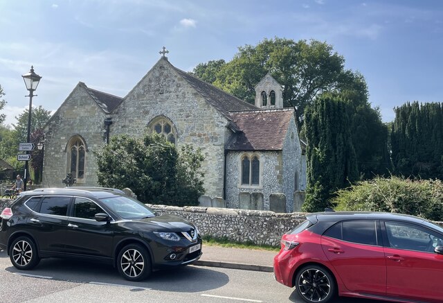
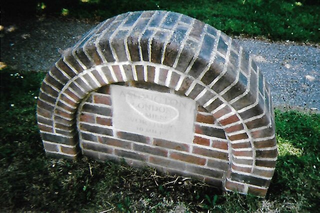
Ashington, West Sussex
Ashington is a village and civil parish in the Horsham District of West Sussex, England. It lies on the A24 road 3 miles (4.8 km) north-east of Storrington...

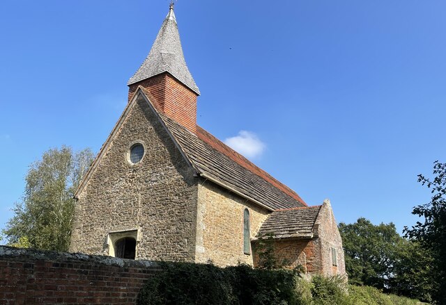
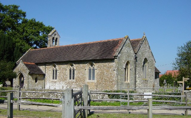
Church of the Holy Sepulchre, Warminghurst
The Church of the Holy Sepulchre is a former Anglican church in the hamlet of Warminghurst in the district of Horsham, one of seven local government districts...

Warminghurst
Warminghurst is a village and former civil parish, now in the parish of Thakeham, in the Horsham district of West Sussex, England. It lies on the Ashington...
Thakeham
Thakeham is a village and civil parish located north of the South Downs in the Horsham District of West Sussex, England. The village is situated approximately...
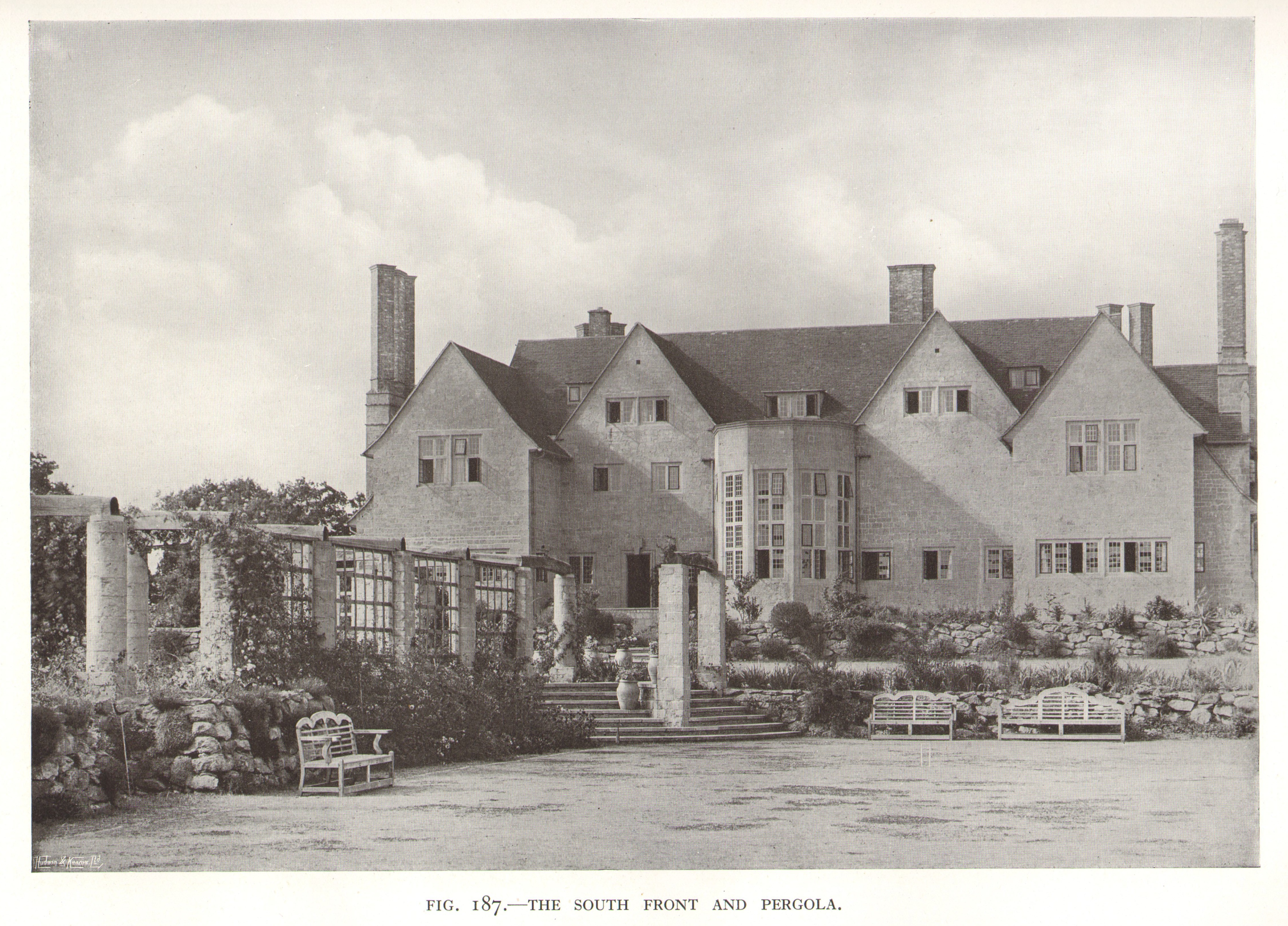
Little Thakeham
Little Thakeham is an Arts and Crafts style, Grade I listed private house in the parish of Thakeham, near the village of Storrington, in the Horsham district...

Heath Common
Heath Common is a settlement in the Horsham District of West Sussex, England. It lies on the Storrington to Ashington road 1.5 miles (2.4 km) east of Storrington...
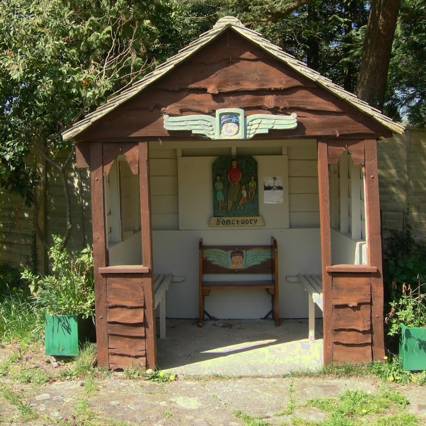
The Sanctuary (community)
The Sanctuary, near Storrington in West Sussex, England, was a utopian community which was founded in 1923 and lasted about a decade. == Founding and... ==

Rock Mill, Washington
Rock Mill is a Grade II listed smock mill at Washington, West Sussex, England, which has been converted to residential use. == History == Rock Mill was...
Nearby Amenities
Located within 500m of 50.937217,-0.397204Have you been to Ashington?
Leave your review of Ashington below (or comments, questions and feedback).