Ashingdon
Civil Parish in Essex Rochford
England
Ashingdon

Ashingdon is a civil parish located in the district of Rochford, in the county of Essex, England. It is situated approximately 3 miles north of Rochford and 4 miles east of Rayleigh. The parish covers an area of about 4 square miles and is home to a population of around 3,500 residents.
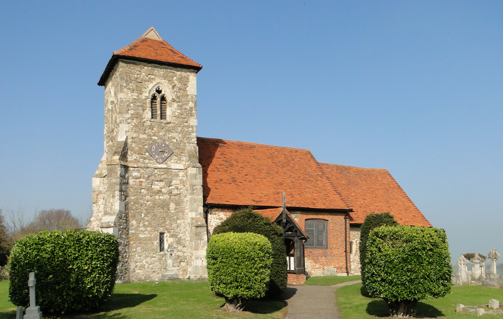
Ashingdon has a rich history dating back to the Roman period, with evidence of settlements and a Roman road passing through the area. The village is best known for the Battle of Ashingdon, which took place in 1016 between the armies of King Edmund II and King Cnut. The battle is said to have marked a significant turning point in the Viking conquest of England.
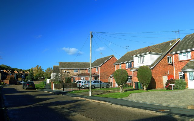
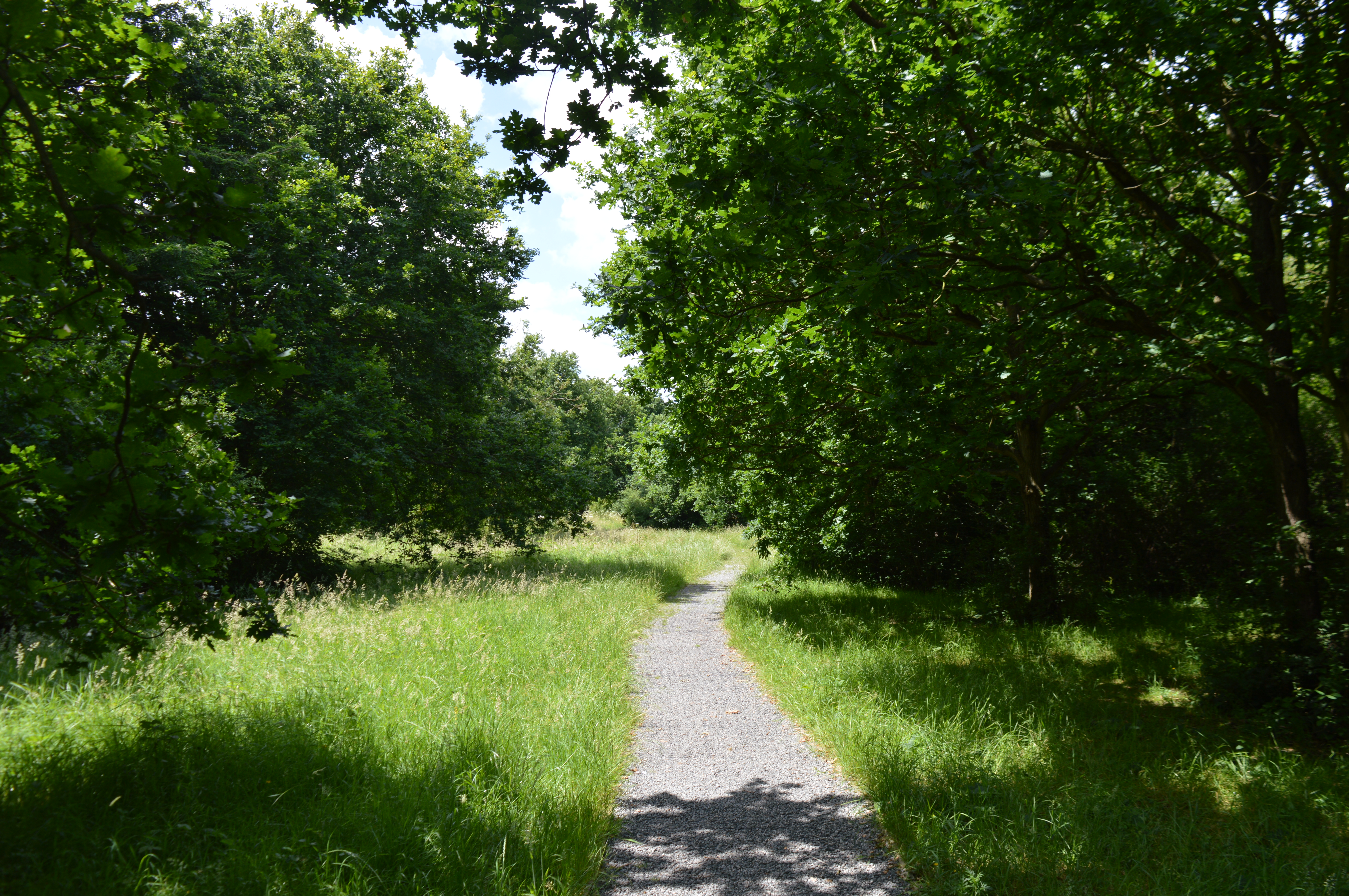
Today, Ashingdon is a primarily residential area with a mix of housing styles, ranging from historical cottages to more modern developments. The village has a charming rural character, with picturesque countryside surroundings and a close-knit community feel. It offers a peaceful and quiet atmosphere, making it an attractive place to live for those seeking a slower pace of life.
The village is well-served by amenities, including a local primary school, a village hall, a post office, and several shops and pubs. It is also conveniently located near major road networks, with easy access to the A127 and A130, providing connections to nearby towns and cities.
Overall, Ashingdon, Essex is a quaint and historic civil parish that offers a peaceful residential setting, a sense of community, and convenient access to the surrounding area.
If you have any feedback on the listing, please let us know in the comments section below.
Ashingdon Images
Images are sourced within 2km of 51.61953/0.685373 or Grid Reference TQ8594. Thanks to Geograph Open Source API. All images are credited.


Ashingdon is located at Grid Ref: TQ8594 (Lat: 51.61953, Lng: 0.685373)
Administrative County: Essex
District: Rochford
Police Authority: Essex
What 3 Words
///fumes.sleep.reception. Near Canewdon, Essex
Nearby Locations
Related Wikis

South Fambridge
South Fambridge is a village and former civil parish, now in the parish of Ashingdon, in the Rochford district, in the county of Essex, England. It is...
Ashingdon
Ashingdon is a village and civil parish in Essex, England. It is located about 2.5 miles (4 km) north of Rochford and is 13 miles (21 km) southeast from...

Greensward Academy
Greensward Academy is a comprehensive school and academy for 11- to 18-year-olds, located in Hockley, Essex.Greensward has approximately 200 staff and...
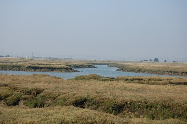
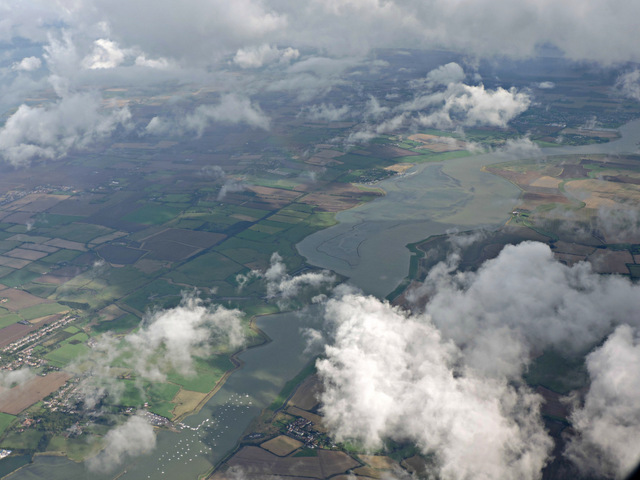
Crouch and Roach Estuaries
The Crouch and Roach Estuaries are a 1729 hectare biological Site of Special Scientific Interest (SSSI) at the mouth of the Crouch and Roach rivers in...

7th Cruiser Squadron
The 7th Cruiser Squadron (also known as Cruiser Force C) was a blockading force of the Royal Navy during the First World War used to close the English...

Magnolia Fields
Magnolia Fields or Magnolia Park is a 9.7 hectare Local Nature Reserve in Hawkwell in Essex. It is owned by Rochford District Council and managed by Hawkwell...

Rayleigh and Wickford (UK Parliament constituency)
Rayleigh and Wickford is a constituency represented in the House of Commons of the UK Parliament since its 2010 creation by Mark Francois, a Conservative...
Marylands Nature Reserve
Marylands is a 3.7 hectare Local Nature Reserve in Hockley in Essex. It is owned by Rochford District Council and managed by Hockley Parish Council.The...
Nearby Amenities
Located within 500m of 51.61953,0.685373Have you been to Ashingdon?
Leave your review of Ashingdon below (or comments, questions and feedback).