Ashill
Civil Parish in Somerset South Somerset
England
Ashill

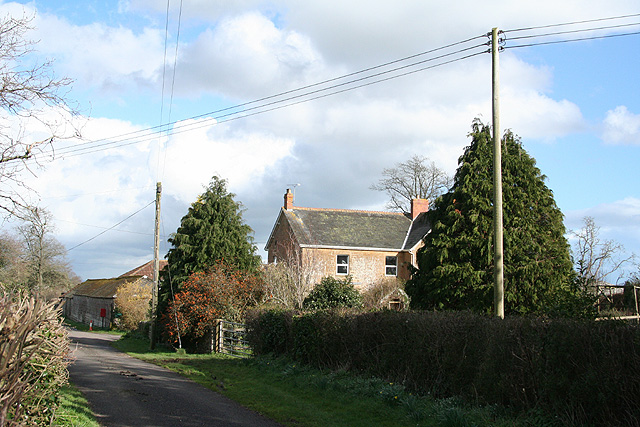
Ashill is a civil parish located in the county of Somerset, in the southwest of England. It is situated around 6 miles southeast of the town of Taunton and covers an area of approximately 1,705 acres. The parish is mainly rural in nature, with a scattered population across its various hamlets and farms.
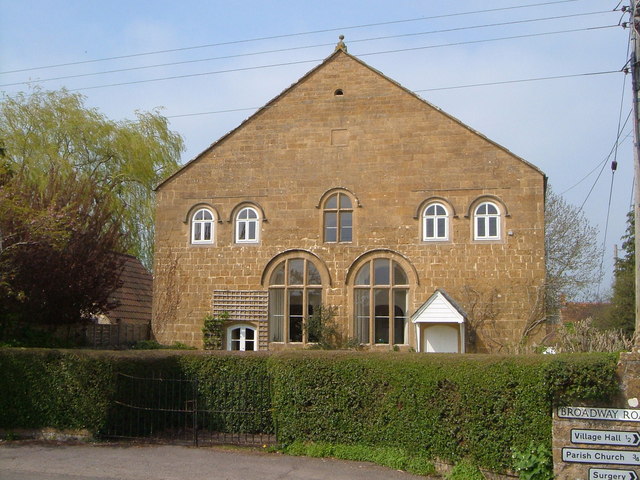
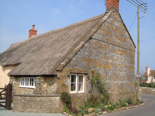
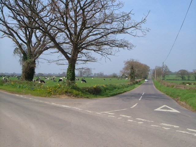
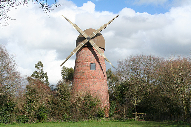
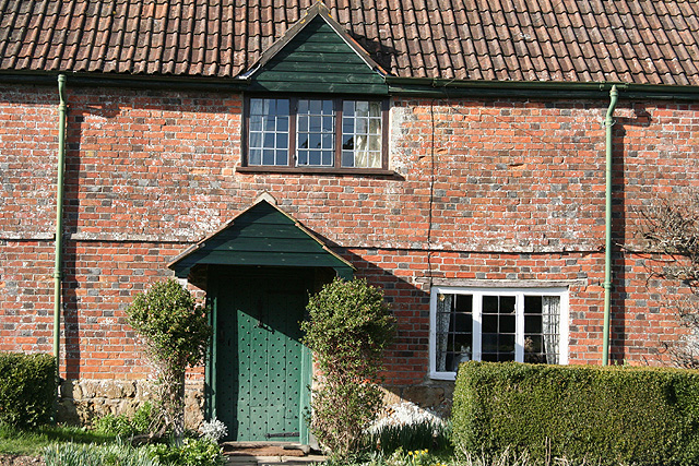
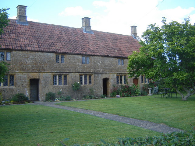
Ashill is known for its picturesque countryside, characterized by rolling hills, meadows, and woodland areas. The landscape is dotted with charming old buildings, including traditional thatched cottages and historic farmhouses, adding to its rustic charm. The parish is also home to a number of small streams and ponds, which contribute to the area's natural beauty.
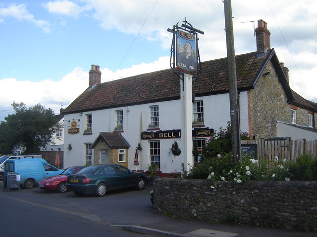
The community in Ashill is relatively small, with a population of around 400 residents. The parish has a close-knit feel, with a strong sense of community spirit amongst its inhabitants. The local amenities include a village hall, which serves as a focal point for social gatherings and events, as well as a primary school that caters to the educational needs of the local children.
Ashill is well-connected to surrounding areas, with good transport links to Taunton and other nearby towns. The parish is also within close proximity to major road networks, making it easily accessible for commuters and visitors alike.
Overall, Ashill is a tranquil and picturesque civil parish, offering a peaceful countryside retreat for its residents and visitors, while still providing convenient access to nearby amenities and attractions.
If you have any feedback on the listing, please let us know in the comments section below.
Ashill Images
Images are sourced within 2km of 50.95127/-2.967311 or Grid Reference ST3217. Thanks to Geograph Open Source API. All images are credited.


Ashill is located at Grid Ref: ST3217 (Lat: 50.95127, Lng: -2.967311)
Administrative County: Somerset
District: South Somerset
Police Authority: Avon and Somerset
What 3 Words
///repaid.scored.urgent. Near Ilminster, Somerset
Nearby Locations
Related Wikis

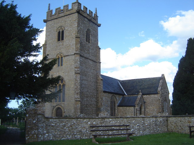
Church of the Blessed Virgin Mary, Ashill
The Anglican Church of the Blessed Virgin Mary in Ashill, Somerset, England was built in the 12th century. It is a Grade II* listed building. == History... ==
Ashill, Somerset
Ashill is a small village and civil parish in Somerset, England, situated 7 miles (11.3 km) south of Taunton, and three miles north-west of Ilminster....

Church of St Aldhelm and St Eadburgha, Broadway
The Church of St Aldhelm and St Eadburgha in Broadway, Somerset, England dates from the 13th century, and has been designated by English Heritage as a...

Broadway, Somerset
Broadway is a village and civil parish in Somerset, England, situated 3 miles (4.8 km) west of Ilminster and 5 miles (8.0 km) north of Chard. The parish...

Merryfield, Ilton
Merryfield (alias Merrifield, Murefeld, Merefeld, Muryfield, Merifield, Wadham's Castle, etc.) is a historic estate in the parish of Ilton, near Ilminster...

Barrington Hill Meadows
Barrington Hill Meadows (grid reference ST300170) is a 16.1 hectare (39.5 acre) biological Site of Special Scientific Interest in Somerset, England, notified...

Horton, Somerset
Horton is a village and civil parish in Somerset, England, situated 5 miles (8.0 km) north of Chard in the South Somerset district. The village has a...
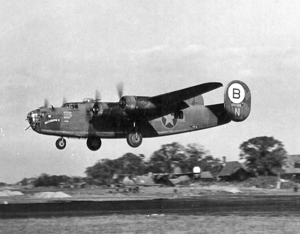
1945 Broadway Consolidated Liberator crash
The 1945 Broadway Consolidated Liberator crash occurred on 22 November 1945 when a Royal Air Force Consolidated Liberator C Mk VIII transport crashed shortly...
Nearby Amenities
Located within 500m of 50.95127,-2.967311Have you been to Ashill?
Leave your review of Ashill below (or comments, questions and feedback).