Ashington

Civil Parish in Northumberland

England

Ashington

Ashington War Memorial In Kenilworth Road, Ashington.
The memorial honours over 1000 people from the town who gave their lives in the two World Wars.
Ashington War Memorial Credit: Russel Wills

Ashington is a civil parish located in the county of Northumberland, England. It is situated about 15 miles north of Newcastle upon Tyne and lies within the Northumberland coalfield. With a population of approximately 27,000 people, it is one of the largest towns in Northumberland.

Historically, Ashington was a mining town, with coal mining being the dominant industry for many years. The area experienced a boom during the 19th and 20th centuries, attracting workers from across the region. However, following the decline of the coal industry in the late 20th century, the town has undergone significant changes.

Today, Ashington is known for its rich mining heritage, and several landmarks and memorials pay homage to the town's history. The Ashington Colliery Museum is a popular attraction, offering insights into the lives of miners and their families. The town also hosts an annual Ashington Festival, celebrating the area's cultural heritage.

In recent years, Ashington has seen efforts to diversify its economy and create new opportunities. The town has experienced investment in infrastructure, including the redevelopment of Ashington town center. There are also plans for a new leisure center, which will provide modern facilities for the community.

Ashington is well-connected to surrounding areas, with good transport links. The A189 road runs through the town, connecting it to the nearby cities of Newcastle and Morpeth. Additionally, Ashington is served by several bus routes, providing connections to neighboring towns and villages.

Overall, Ashington is a vibrant town with a rich industrial past and a commitment to embracing the future.

If you have any feedback on the listing, please let us know in the comments section below.
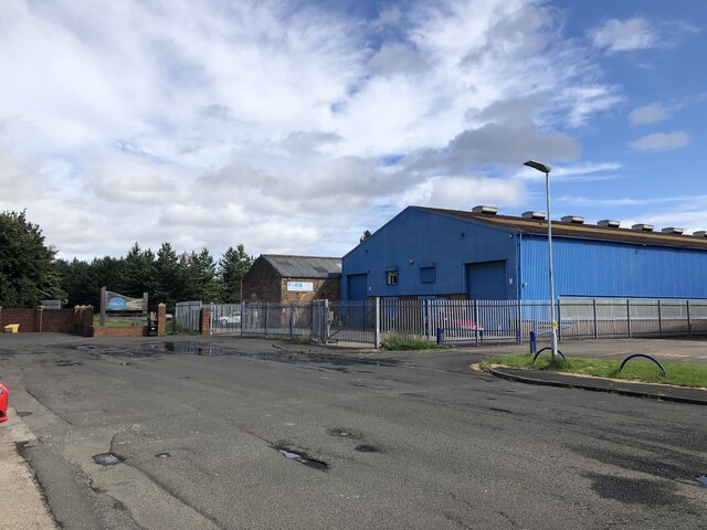
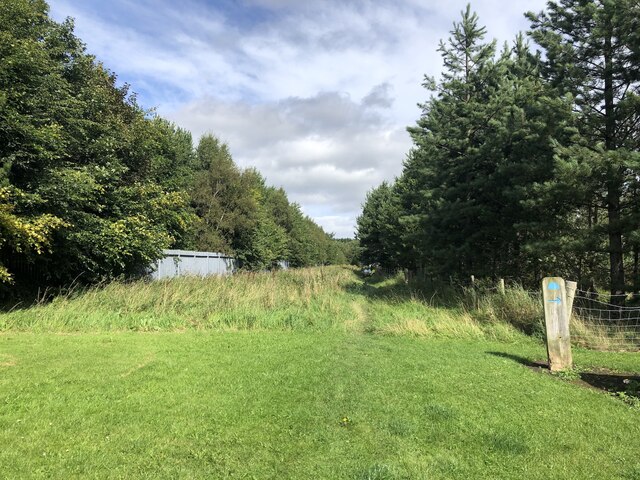
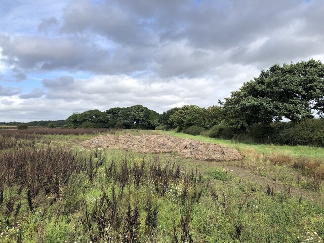
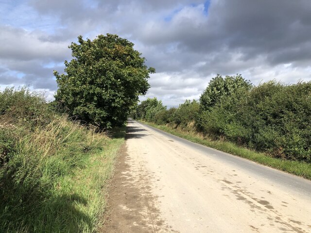
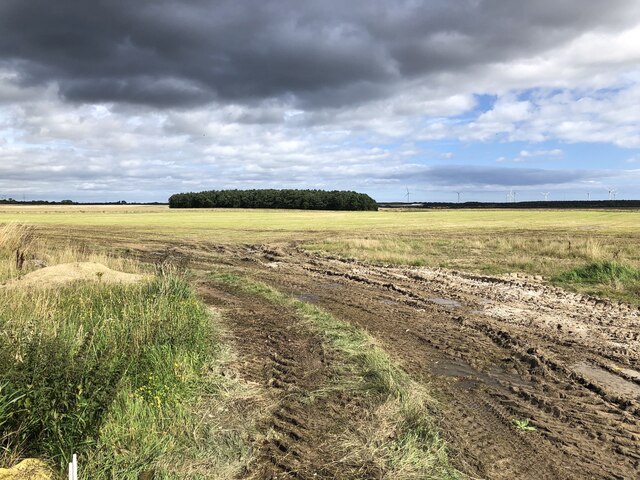
Ashington Images

Images are sourced within 2km of 55.182106/-1.584019 or Grid Reference NZ2687. Thanks to Geograph Open Source API. All images are credited.

Ashington War Memorial In Kenilworth Road, Ashington.
The memorial honours over 1000 people from the town who gave their lives in the two World Wars.
Ashington War Memorial
In Kenilworth Road, Ashington. The memorial honours over 1000 people from the town who gave their lives in the two World Wars.
Wilco - Goods Inwards The back of wilco Ashington, Wansbeck Square.
<span class="nowrap"><a title="https://stores.wilko.com/gb/ashington/wansbeck-square" rel="nofollow ugc noopener" href="https://stores.wilko.com/gb/ashington/wansbeck-square">Link</a><img style="margin-left:2px;" alt="External link" title="External link - shift click to open in new window" src="https://s1.geograph.org.uk/img/external.png" width="10" height="10"/></span>
Wilco - Goods Inwards
The back of wilco Ashington, Wansbeck Square. LinkExternal link
Richard Hardie Ashington  'Richard Hardie is a well-established family run business, and this year we are celebrating our 50th year in the motor trade.'  <span class="nowrap"><a title="https://www.autotrader.co.uk/dealers/northumberland/ashington/richard-hardie-ashington-24423" rel="nofollow ugc noopener" href="https://www.autotrader.co.uk/dealers/northumberland/ashington/richard-hardie-ashington-24423">Link</a><img style="margin-left:2px;" alt="External link" title="External link - shift click to open in new window" src="https://s1.geograph.org.uk/img/external.png" width="10" height="10"/></span>
Richard Hardie Ashington
'Richard Hardie is a well-established family run business, and this year we are celebrating our 50th year in the motor trade.' LinkExternal link
River Wansbeck Country Park Caravan site and cafe beyond car park.
River Wansbeck Country Park
Caravan site and cafe beyond car park.
River Wansbeck Country Park
Canoeists on the River Wansbeck I'm taking a photo of two canoeist one videoing the other.
Canoeists on the River Wansbeck
I'm taking a photo of two canoeist one videoing the other.
A196 Road Bridge over the River Wansbeck
Cambois Rowing Club
Cambois Rowing Club
High Market, Ashington Parallel to where the miner's rows were at Ashington Colliery. There are still scattered retail outlets here but the main shopping action is in the tin sheds to the north on the site of the colliery.
High Market, Ashington
Parallel to where the miner's rows were at Ashington Colliery. There are still scattered retail outlets here but the main shopping action is in the tin sheds to the north on the site of the colliery.
Back of First Row Surviving miners' row in Ashington. The lines of houses to the north, where the colliery was, have since been replaced by modern housing.
Back of First Row
Surviving miners' row in Ashington. The lines of houses to the north, where the colliery was, have since been replaced by modern housing.
Forge Leisure, Ashington They make pool covers. The far building looks like a survivor from the Ashington Colliery which had a rail yard on this site.

This was taken in this area during the lifetime of the colliery: <a href="https://www.geograph.org.uk/photo/6441345">NZ2688 : Ashington Colliery, 1967</a>
Forge Leisure, Ashington
They make pool covers. The far building looks like a survivor from the Ashington Colliery which had a rail yard on this site. This was taken in this area during the lifetime of the colliery: NZ2688 : Ashington Colliery, 1967
Site of Ashington Colliery The woodland ride runs between a fenced off area of sports pitches (Rugby?) and the Wansbeck Industrial Park. To the north the site of the colliery bings is now a woodland. There are laid out paths with interpretation boards showing the site when it was a very productive colliery. <a href="https://www.geograph.org.uk/photo/6441345">NZ2688 : Ashington Colliery, 1967</a>
Site of Ashington Colliery
The woodland ride runs between a fenced off area of sports pitches (Rugby?) and the Wansbeck Industrial Park. To the north the site of the colliery bings is now a woodland. There are laid out paths with interpretation boards showing the site when it was a very productive colliery. NZ2688 : Ashington Colliery, 1967
Pithead site, Ashington Colliery Now woodland and a business park. <a href="https://www.geograph.org.uk/photo/6441345">NZ2688 : Ashington Colliery, 1967</a>
Pithead site, Ashington Colliery
Now woodland and a business park. NZ2688 : Ashington Colliery, 1967
Community Woodland, Ashington Passing Wansbeck Business Park. This was the site of the Ashington Colliery pit head.
Community Woodland, Ashington
Passing Wansbeck Business Park. This was the site of the Ashington Colliery pit head.
Empty car showroom, Morpeth Road, Ashington
Bean field near Ashington There has been a lot of recent open cast coal mining in this area, but little sign of it remains.
Bean field near Ashington
There has been a lot of recent open cast coal mining in this area, but little sign of it remains.
No ifs or buts, road definitely open <a href="https://www.geograph.org.uk/photo/4483980">NZ2488 : No ifs or buts, road definitely closed!</a> a few years on after almost all trace of surface mining had been removed.
Today was a good one as the plague of road closures go - nothing encountered that was worse than a set of four way traffic lights.
No ifs or buts, road definitely open
NZ2488 : No ifs or buts, road definitely closed! a few years on after almost all trace of surface mining had been removed. Today was a good one as the plague of road closures go - nothing encountered that was worse than a set of four way traffic lights.
Site of the Potland Surface Mine Restored open cast near Ashington.
Site of the Potland Surface Mine
Restored open cast near Ashington.
Show me another place!

Ashington is located at Grid Ref: NZ2687 (Lat: 55.182106, Lng: -1.584019)

Unitary Authority: Northumberland

Police Authority: Northumbria

What 3 Words

///hoping.slippery.overgrown. Near Ashington, Northumberland

Nearby Locations

Ashington

Related Wikis

Ashington Academy

Ashington Academy is a secondary school and sixth form located in Ashington in the English county of Northumberland. == History == It was established...

Ashington Town Hall

Ashington Town Hall is a municipal building in Station Road in Ashington, Northumberland, England. The town hall, which was the headquarters of Ashington...

Ashington railway station

Ashington railway station was a station on the Newbiggin-by-the-Sea branch of the Blyth and Tyne Railway network which served the town of Ashington in...

Portland Park (Ashington)

Portland Park was a football ground in Ashington, England. It was the home ground of Ashington A.F.C. between 1909 and 2008. It also hosted greyhound racing...

Nearby Amenities

Located within 500m of 55.182106,-1.584019
Crossing
Crossing: uncontrolled
Crossing Ref: zebra
Lat/Long: 55.1828029/-1.5836345
Post Box
Brand: Royal Mail
Brand Wikidata: Q638098
Collection Times: Mo-Fr 09:00; Sa 07:00
Operator: Royal Mail
Operator Wikidata: Q638098
Post Box Type: lamp
Ref: NE63 21D
Royal Cypher: EIIR
Royal Cypher Wikidata: Q33102113
Source: survey
Lat/Long: 55.1830421/-1.5806541
Post Box
Postal Code: NE63 8JB
Ref: NE63 121
Lat/Long: 55.1800682/-1.5845968
Fast Food
Billy's Golden Fish and Chips
Cuisine: fish_and_chips
Lat/Long: 55.1827258/-1.5837417
Noexit: yes
Lat/Long: 55.1817534/-1.580712
Noexit: yes
Lat/Long: 55.1814419/-1.5843197
Crossing
Crossing: uncontrolled
Crossing Ref: zebra
Lat/Long: 55.1831609/-1.5897067
Noexit: yes
Lat/Long: 55.1821584/-1.5837787
Crossing
Crossing: unmarked
Crossing Island: yes
Tactile Paving: yes
Lat/Long: 55.1851232/-1.5808934
Post Box
Collection Times: Mo-Fr 16:00; Sa 11:15
Post Box Type: lamp
Ref: NE63 61
Royal Cypher: EIIR
Royal Cypher Wikidata: Q33102113
Source: survey
Lat/Long: 55.18327/-1.5891619
Direction: both
Traffic Calming: chicane
Lat/Long: 55.1795685/-1.5782015
Street Lamp
Lat/Long: 55.1845487/-1.5776849
Bus Stop
Bus: yes
Naptan AtcoCode: 3100Z265877
Naptan NaptanCode: nldagtga
Public Transport: platform
Shelter: yes
Lat/Long: 55.1827828/-1.5842556
Direction: both
Surface: asphalt
Traffic Calming: cushion
Lat/Long: 55.1804334/-1.5781429
Noexit: yes
Lat/Long: 55.1813186/-1.5828965
Noexit: yes
Lat/Long: 55.1820415/-1.5836538
Noexit: yes
Lat/Long: 55.1821575/-1.5828878
Give Way
Direction: forward
Lat/Long: 55.1828587/-1.5824495
Noexit: yes
Lat/Long: 55.1813082/-1.5836513
Crossing
Crossing: unmarked
Lat/Long: 55.1853508/-1.5810549
Bus Stop
Bench: no
Bus: yes
Public Transport: platform
Shelter: no
Lat/Long: 55.1843366/-1.5821235
Bus Stop
Bin: yes
Bus: yes
Public Transport: platform
Shelter: yes
Lat/Long: 55.1831155/-1.578554
Bus Stop
Bench: no
Bus: yes
Public Transport: platform
Shelter: no
Lat/Long: 55.1827835/-1.5779198
Artwork Type: sculpture
Material: iron
Tourism: artwork
Lat/Long: 55.1842003/-1.5862168
Generator Method: photovoltaic
Generator Output Electricity: yes
Generator Source: solar
Generator Type: solar_photovoltaic_panel
Power: generator
Lat/Long: 55.185384/-1.586768
Generator Method: photovoltaic
Generator Output Electricity: yes
Generator Source: solar
Generator Type: solar_photovoltaic_panel
Power: generator
Lat/Long: 55.1850379/-1.5819642
Generator Method: photovoltaic
Generator Output Electricity: yes
Generator Source: solar
Generator Type: solar_photovoltaic_panel
Power: generator
Lat/Long: 55.1848205/-1.5820125
Generator Method: photovoltaic
Generator Output Electricity: yes
Generator Source: solar
Generator Type: solar_photovoltaic_panel
Power: generator
Lat/Long: 55.1849032/-1.5823317
Generator Method: photovoltaic
Generator Output Electricity: yes
Generator Source: solar
Generator Type: solar_photovoltaic_panel
Power: generator
Lat/Long: 55.1848067/-1.5825543
Generator Method: photovoltaic
Generator Output Electricity: yes
Generator Source: solar
Generator Type: solar_photovoltaic_panel
Power: generator
Lat/Long: 55.1849782/-1.5826911
Noexit: yes
Lat/Long: 55.1849444/-1.5837464
Generator Method: photovoltaic
Generator Output Electricity: yes
Generator Source: solar
Generator Type: solar_photovoltaic_panel
Power: generator
Lat/Long: 55.1777392/-1.5845843
Generator Method: photovoltaic
Generator Output Electricity: yes
Generator Source: solar
Generator Type: solar_photovoltaic_panel
Power: generator
Lat/Long: 55.182619/-1.5917393
Bus Stop
Bench: no
Bin: yes
Bus: yes
Naptan AtcoCode: 3100Z265876
Naptan NaptanCode: nldgjdwa
Public Transport: platform
Shelter: no
Lat/Long: 55.1826194/-1.5844339
Bus Stop
Bus: yes
Naptan AtcoCode: 3100Z269877
Naptan NaptanCode: nldgjdtw
Public Transport: platform
Lat/Long: 55.1830046/-1.5785142
Station Convenience
Addr City: Ashington
Addr County: Northumberland
Addr Housenumber: 162
Addr Postcode: NE63 8HG
Addr Street: Station Road
Brand: Premier
Brand Wikidata: Q7240340
Fhrs Id: 288758
Opening Hours: Mo-Su 06:00-22:00
Shop: convenience
Website: https://www.premier-stores.co.uk/our-stores/station-convenience
Lat/Long: 55.1825335/-1.5846939
Traffic Calming: cushion
Lat/Long: 55.1832155/-1.5883631
Bus: yes
Public Transport: stop_position
Lat/Long: 55.1832409/-1.587767
Bus Stop
Bus: yes
Public Transport: platform
Lat/Long: 55.1831925/-1.5877537
Ashington Colliery
Historic: mine
Resource: coal
Lat/Long: 55.186188/-1.5844184
Generator Method: photovoltaic
Generator Output Electricity: yes
Generator Source: solar
Generator Type: solar_photovoltaic_panel
Power: generator
Lat/Long: 55.1809873/-1.5845351
Generator Method: photovoltaic
Generator Output Electricity: yes
Generator Source: solar
Generator Type: solar_photovoltaic_panel
Power: generator
Lat/Long: 55.1807737/-1.5842253
Generator Method: photovoltaic
Generator Output Electricity: yes
Generator Source: solar
Generator Type: solar_photovoltaic_panel
Power: generator
Lat/Long: 55.1808564/-1.5840442
Vehicle Inspection
Station MOT Centre
Shop: car_repair
Lat/Long: 55.1833549/-1.5772089
The data included in this document is from www.openstreetmap.org. The data is made available under ODbL.

Have you been to Ashington?

Leave your review of Ashington below (or comments, questions and feedback).