Ashendon
Civil Parish in Buckinghamshire
England
Ashendon
Ashendon is a civil parish located in the county of Buckinghamshire, England. It is situated approximately 9 miles northwest of the town of Aylesbury and covers an area of about 4 square miles. The parish is part of the Aylesbury Vale district and falls within the ceremonial county of Buckinghamshire.
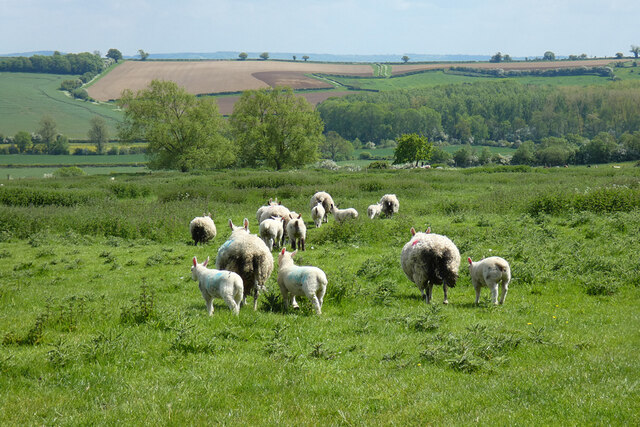
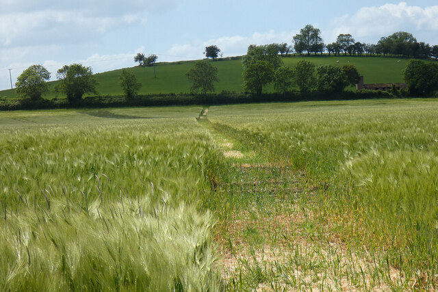
Ashendon is a rural area known for its picturesque countryside and charming villages. The parish includes the villages of Upper and Lower Ashendon, as well as the hamlet of Upper Pollicott. The landscape is characterized by rolling hills, farmland, and woodland, offering residents and visitors stunning views and opportunities for outdoor activities.
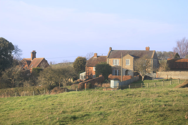
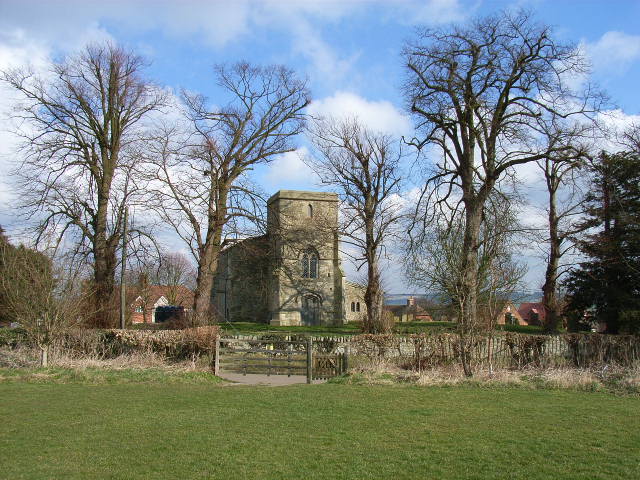
The history of Ashendon can be traced back to the Domesday Book, where it is mentioned as "Escedune." The area has a rich heritage, with several historic buildings and landmarks. St Mary's Church in Lower Ashendon, dating back to the 12th century, is a notable example of medieval architecture. The church is listed as a Grade II* building and is a popular tourist attraction.
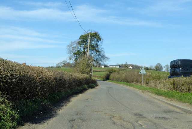
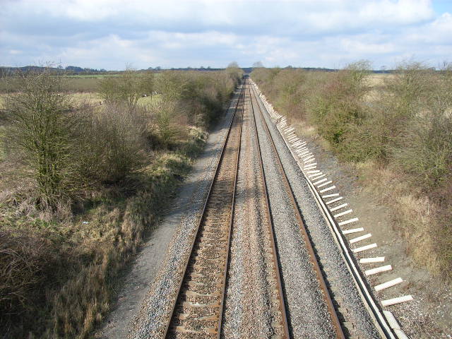
Despite its rural character, Ashendon benefits from good transport links. The A41 road passes through the parish, providing easy access to neighboring towns and cities. The parish is also well-connected by public transportation, with regular bus services operating in the area.
Ashendon offers a peaceful and idyllic lifestyle, attracting those seeking a rural retreat. The parish has a strong sense of community, with various local clubs and organizations providing opportunities for socializing and engaging in recreational activities.
If you have any feedback on the listing, please let us know in the comments section below.
Ashendon Images
Images are sourced within 2km of 51.821135/-0.973788 or Grid Reference SP7014. Thanks to Geograph Open Source API. All images are credited.


Ashendon is located at Grid Ref: SP7014 (Lat: 51.821135, Lng: -0.973788)
Unitary Authority: Buckinghamshire
Police Authority: Thames Valley
What 3 Words
///clipped.himself.litigate. Near Waddesdon, Buckinghamshire
Related Wikis
Ashendon
Ashendon is a small village and civil parish in Buckinghamshire, England. It is about nine miles west of Aylesbury and seven miles north of Thame. The...
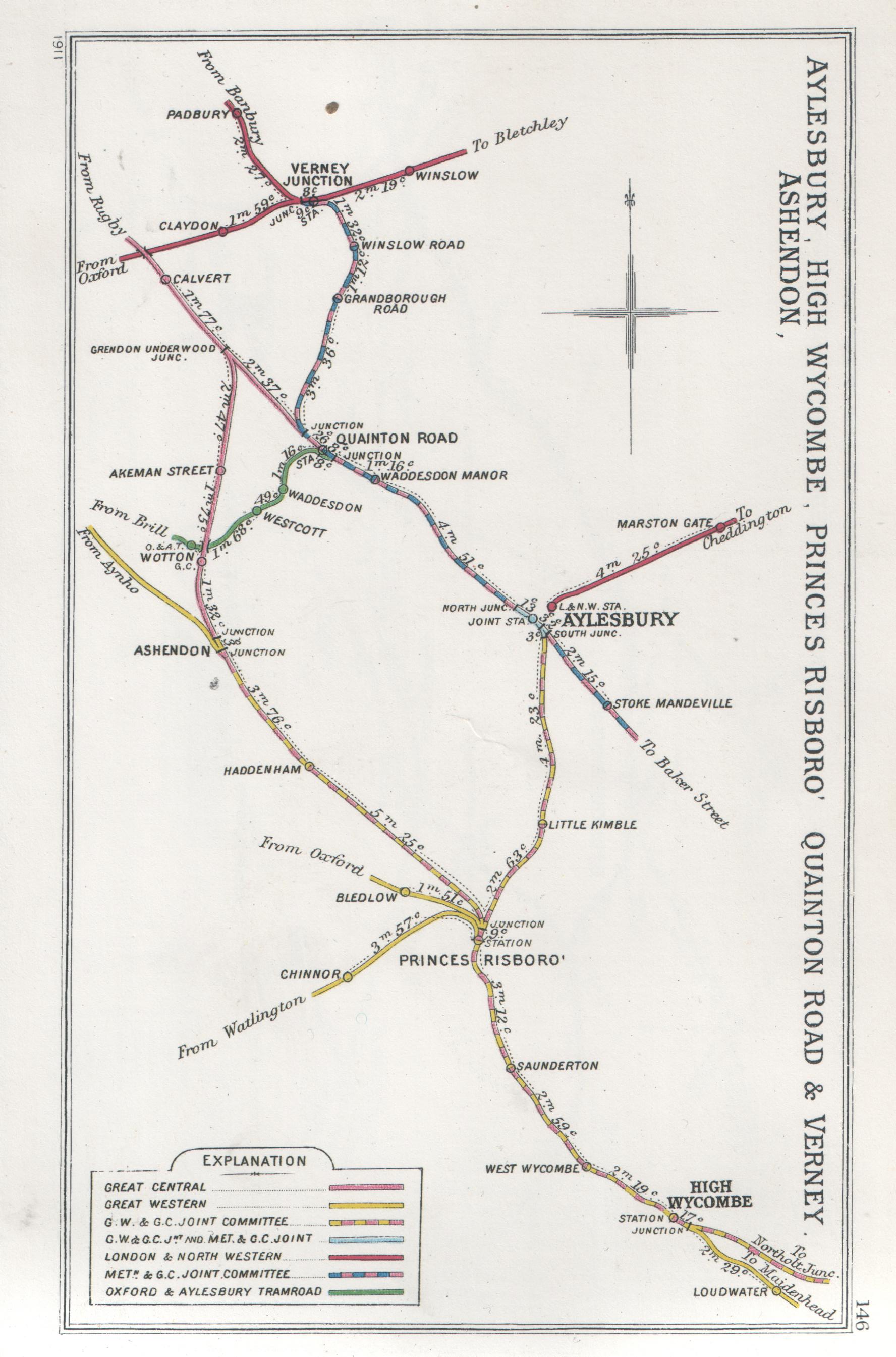
Ashendon Junction
Ashendon Junction in Buckinghamshire, England, was a major mainline railway junction where, from July 1910, the Great Western Railway's (GWR) London-Birmingham...

Wotton railway station (Great Central Railway)
Wotton was a railway station at Wotton Underwood, Buckinghamshire, on the Great Central Railway's link line between Calvert and Ashendon Junction. ��2...
Wotton railway station (Brill Tramway)
Wotton railway station was a small station in Buckinghamshire, England, built by the Duke of Buckingham in 1871. Part of a private horse-drawn tramway...
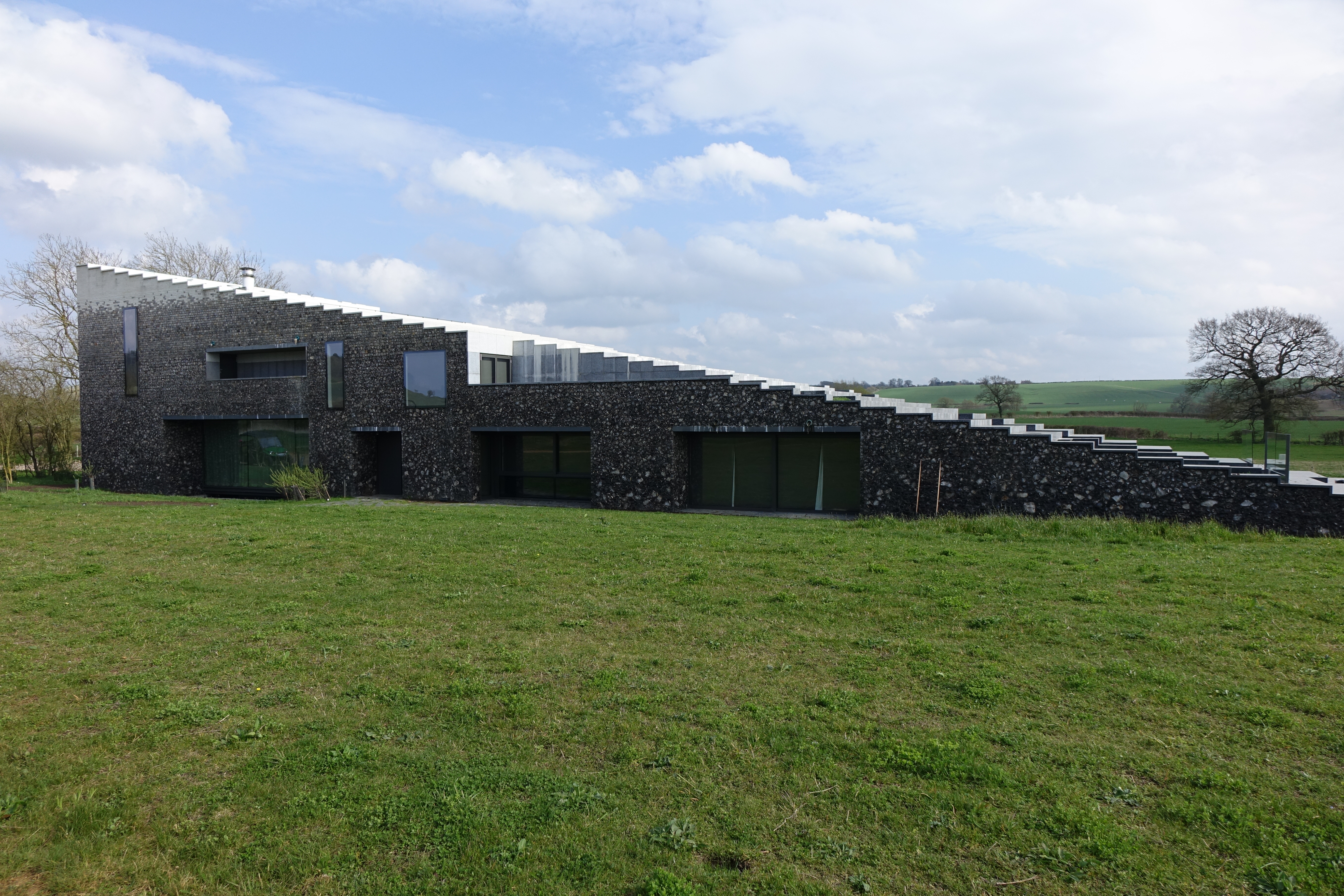
Flint House, Buckinghamshire
Flint House is a domestic dwelling on the Waddesdon Estate, Buckinghamshire, England. It was commissioned by Jacob Rothschild, 4th Baron Rothschild, and...
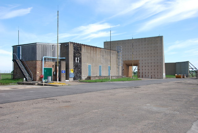
Rocket Propulsion Establishment
The Rocket Propulsion Establishment at Westcott, Buckinghamshire on the site of the former RAF Westcott has made a number of notable contributions in the...
Dorton Halt railway station
Dorton Halt railway station was a railway station serving the village of Dorton in Buckinghamshire. It was on what is now known as the Chiltern Main Line...

Wotton Underwood
Wotton Underwood is a village and civil parish in Buckinghamshire, England, 7 miles (11 km) north of Thame, Oxfordshire. The toponym is derived from the...
Nearby Amenities
Located within 500m of 51.821135,-0.973788Have you been to Ashendon?
Leave your review of Ashendon below (or comments, questions and feedback).