Ashen
Civil Parish in Essex Braintree
England
Ashen

Ashen is a civil parish located in the county of Essex, England. It is a small rural village situated roughly 4 miles south of the market town of Clare and about 15 miles southeast of the city of Cambridge. The parish occupies an area of approximately 9 square miles and is surrounded by picturesque countryside.
The village of Ashen itself is home to a small population, with just over 100 residents as of the latest census. It is characterized by its traditional English charm, with a scattering of quaint cottages and historic buildings. The centerpiece of the village is the beautiful St. Augustine's Church, a Grade I listed building that dates back to the 12th century.
Surrounding the village, the countryside is predominantly agricultural, with rolling hills and fields of crops stretching as far as the eye can see. The area is known for its farming heritage, and agriculture remains an important industry in the region.
Despite its small size, Ashen boasts a strong sense of community, with various local events and activities taking place throughout the year. The village has a primary school, providing education for the local children, and a local pub that serves as a hub for socializing.
Ashen is a peaceful and idyllic location, offering a tranquil retreat from the hustle and bustle of nearby towns and cities. Its rural setting and charming character make it a desirable place to live for those seeking a slower pace of life and a strong sense of community.
If you have any feedback on the listing, please let us know in the comments section below.
Ashen Images
Images are sourced within 2km of 52.065375/0.57282 or Grid Reference TL7643. Thanks to Geograph Open Source API. All images are credited.


Ashen is located at Grid Ref: TL7643 (Lat: 52.065375, Lng: 0.57282)
Administrative County: Essex
District: Braintree
Police Authority: Essex
What 3 Words
///emeralds.gloves.dust. Near Clare, Suffolk
Related Wikis

Clare Priory
Clare Priory is a religious house in England, originally established in 1248 as the first house of the Augustinian Friars in England. It is situated on...

Clare Castle
Clare Castle is a high-mounted ruinous medieval castle in the parish and former manor of Clare in Suffolk, England, anciently the caput of a feudal barony...

Clare Castle Country Park
Clare Castle Country Park in Suffolk, England, was created around the ruins of Clare Castle and incorporates the now defunct Clare railway station on the...
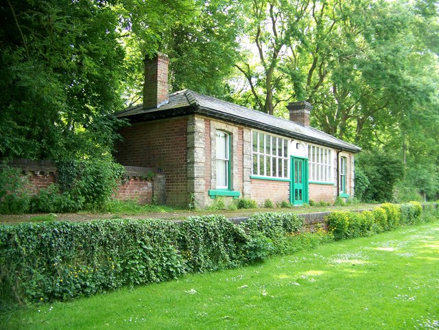
Clare railway station
Clare railway station was a station that served the village of Clare in Suffolk, England. It opened in 1865 on the Stour Valley Railway between Sudbury...

Ovington, Essex
Ovington is a small village in north Essex, England. The village is situated about three miles (5 km) from the village of Clare. It consists of St. Mary...
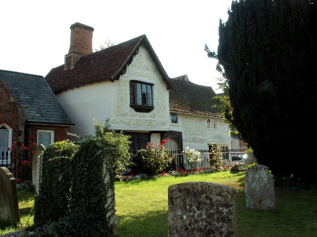
Ancient House, Clare
The Ancient House is a medieval timber-framed and partly pargeted building located in Clare in Suffolk, England. It is a Grade I listed building. ��2...
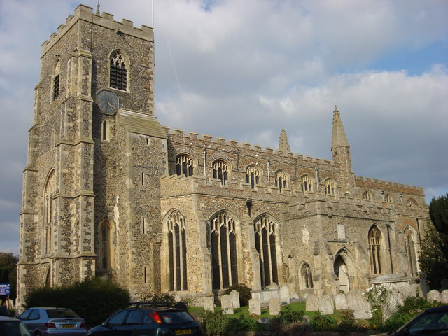
St Peter and St Paul's Church, Clare
St Peter and St Paul's Church, Clare is a Grade I listed parish church in the Church of England in Clare, Suffolk. It is one of the largest and most beautiful...
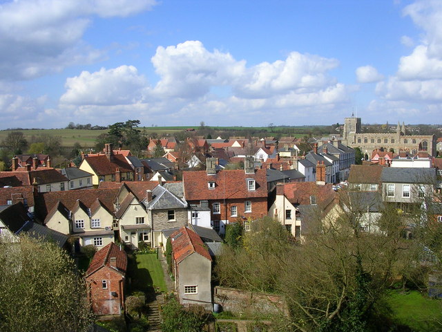
Clare, Suffolk
Clare is a market town on the north bank of the River Stour in Suffolk, England. Clare is in southwest Suffolk, 14 miles (23 km) from Bury St Edmunds and...
Nearby Amenities
Located within 500m of 52.065375,0.57282Have you been to Ashen?
Leave your review of Ashen below (or comments, questions and feedback).