Asheldham
Civil Parish in Essex Maldon
England
Asheldham
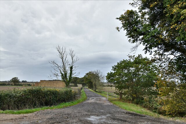
Asheldham is a civil parish located in the county of Essex, England. It is situated in the Maldon district, approximately 6 miles northeast of the town of Maldon and 10 miles southeast of the city of Chelmsford. The parish covers an area of around 8 square miles and has a population of around 400 residents.
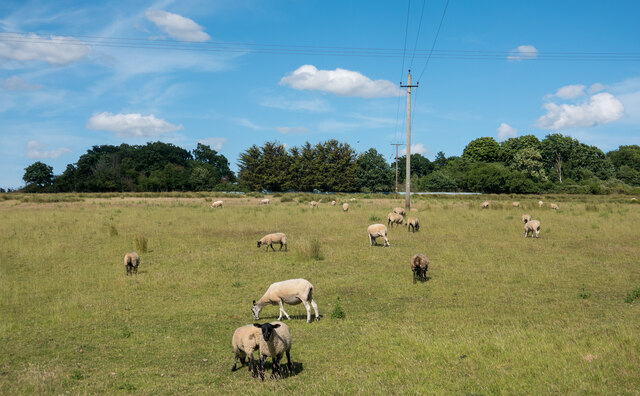
The village of Asheldham is primarily residential, with a mix of both traditional and modern housing. The area is known for its peaceful and rural setting, surrounded by picturesque countryside and farmland. The village is characterized by its charming cottages, historic buildings, and a quaint village green, which serves as a focal point for community gatherings and events.
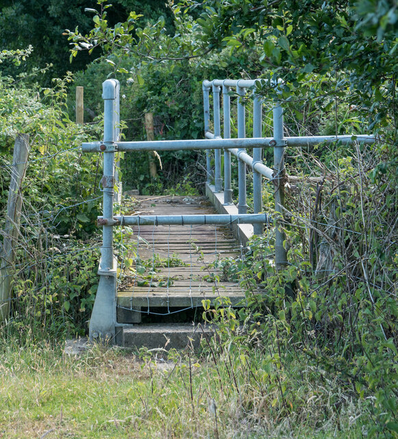
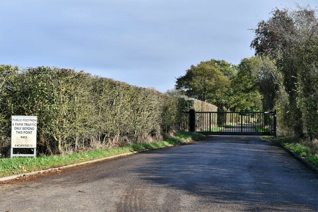
Asheldham is home to a number of amenities and facilities, including a primary school, a village hall, a local pub, and a post office. The village offers a range of recreational activities, with several footpaths and bridleways providing opportunities for walking, cycling, and horse riding in the surrounding countryside.
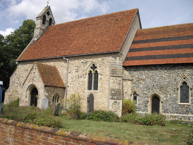
The parish is also notable for its religious heritage, with the historic St. Lawrence Church dating back to the 14th century. The church is a Grade I listed building and features impressive architectural details, including a medieval tower and stained glass windows.
Overall, Asheldham offers a tranquil and close-knit community, with its rural charm, amenities, and natural beauty making it an attractive place to live or visit in Essex.
If you have any feedback on the listing, please let us know in the comments section below.
Asheldham Images
Images are sourced within 2km of 51.678791/0.857146 or Grid Reference TL9701. Thanks to Geograph Open Source API. All images are credited.


Asheldham is located at Grid Ref: TL9701 (Lat: 51.678791, Lng: 0.857146)
Administrative County: Essex
District: Maldon
Police Authority: Essex
What 3 Words
///obstruct.scouts.hounded. Near Southminster, Essex
Related Wikis

Asheldham
Asheldham is a village and civil parish in Essex, England. It is located about 14 km (8.7 mi) southeast of Maldon and is 26 km (16 mi) east-southeast from...
Dengie
Dengie is a village and civil parish in the Maldon district of Essex, England, with a population of 119 at the 2011 census.It gives its name to the Dengie...

Dengie Hundred
Dengie is a hundred in the county of Essex, England. It corresponded to the Dengie peninsula, with the inland, western boundary running from North Fambridge...

St Lawrence, Essex
St Lawrence is a parish in the Maldon district of Essex in the East of England on the Dengie peninsula. The village of St Lawrence Bay, which takes its...

Southminster railway station
Southminster railway station is the eastern terminus of the Crouch Valley Line in Essex, England, serving the town of Southminster and other settlements...

Southminster
Southminster is a village and civil parish on the Dengie Peninsula in the Maldon district of Essex in the East of England. It lies about 3 miles (4.8 km...

Tillingham
Tillingham is a small village and civil parish with 1,015 inhabitants in 2001, increasing to 1,058 at the 2011 Census, located 8 miles (13 km) from Burnham...

Goldsands Road Pit
Goldsands Road Pit is a 1.3-hectare (3.2-acre) geological Site of Special Scientific Interest in Southminster in Essex. It is a Geological Conservation...
Nearby Amenities
Located within 500m of 51.678791,0.857146Have you been to Asheldham?
Leave your review of Asheldham below (or comments, questions and feedback).