Ashby Magna

Civil Parish in Leicestershire Harborough

England

Ashby Magna

Gilmorton Lane crosses the M1
Gilmorton Lane crosses the M1 Credit: Steve Daniels

Ashby Magna is a civil parish located in the county of Leicestershire, England. Situated approximately 10 miles southeast of the city of Leicester, Ashby Magna is a small and picturesque village with a population of around 300 residents.

The village is known for its rich history, dating back to medieval times. It is believed that Ashby Magna was first settled during the Roman period, and evidence of Roman pottery has been found in the area. The village takes its name from the Old English words "Aesc" and "byrig," meaning "ash tree" and "fortified place" respectively.

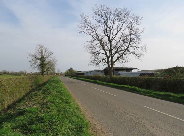
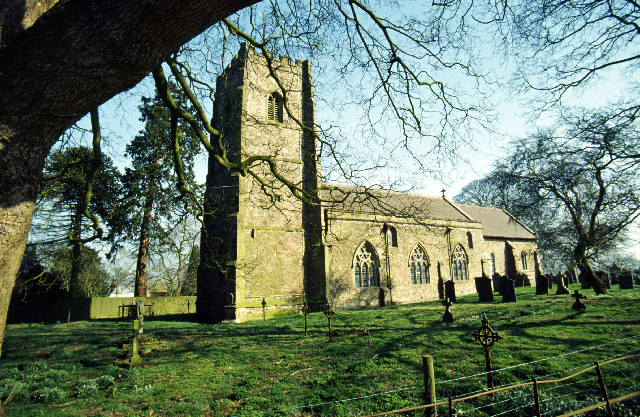
Ashby Magna is surrounded by beautiful countryside, with rolling hills and lush green fields. The village itself is characterized by its charming thatched cottages, many of which date back several centuries. The parish church of St. Mary's, a Grade I listed building, is a prominent feature of the village and stands as a testament to its long history.

Despite its small size, Ashby Magna has a strong sense of community, with several local clubs and organizations providing opportunities for residents to come together. The village also hosts various events throughout the year, including a summer fete and a Christmas fair.

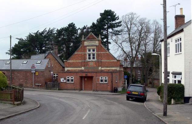
In terms of amenities, Ashby Magna has a village hall, a primary school, and a pub. However, residents have easy access to the nearby towns of Lutterworth and Market Harborough for a wider range of services and facilities.

Overall, Ashby Magna offers a peaceful and idyllic setting, steeped in history and surrounded by natural beauty. It is a place where residents can enjoy a close-knit community while still being within reach of larger towns and cities.

If you have any feedback on the listing, please let us know in the comments section below.
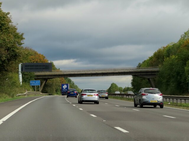
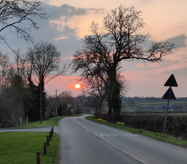
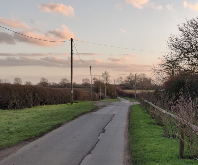
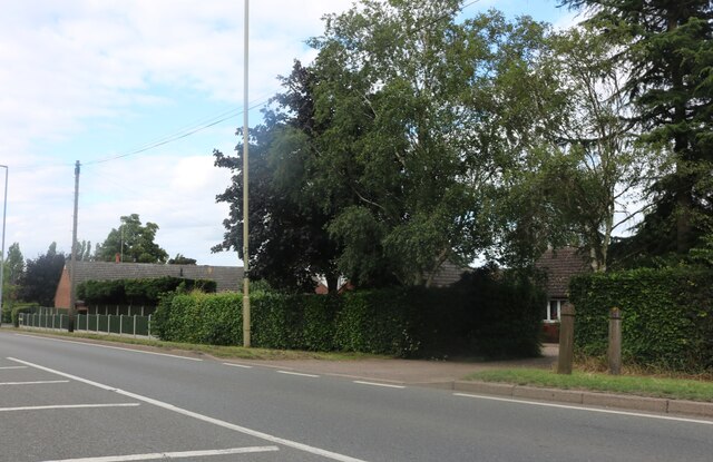
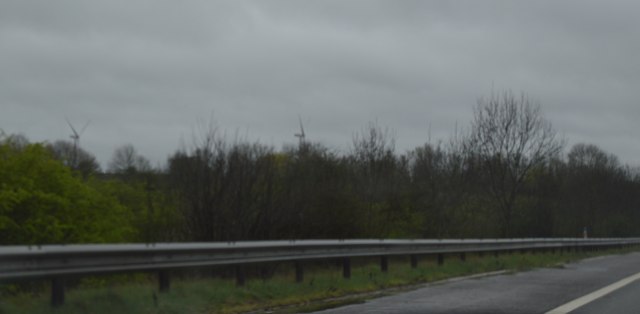
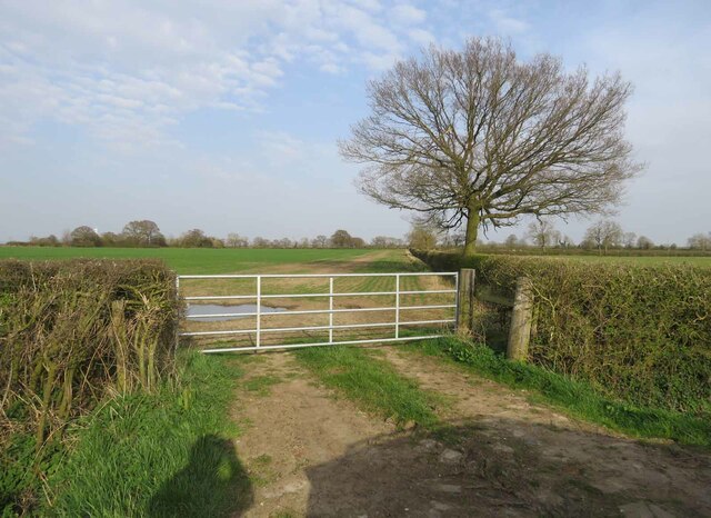
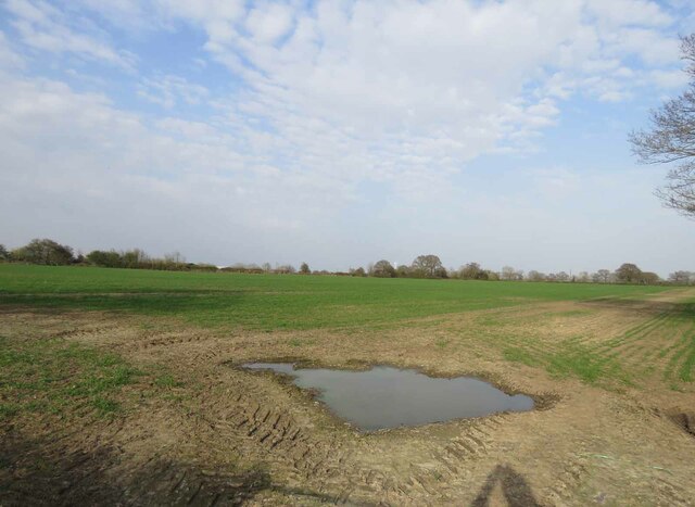
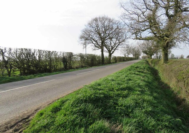
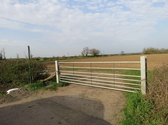
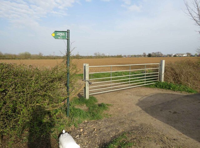
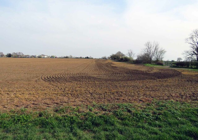
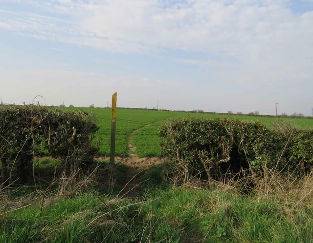
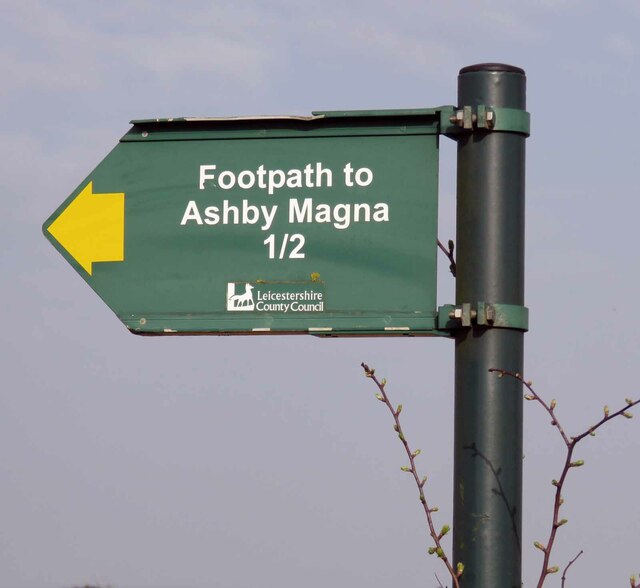
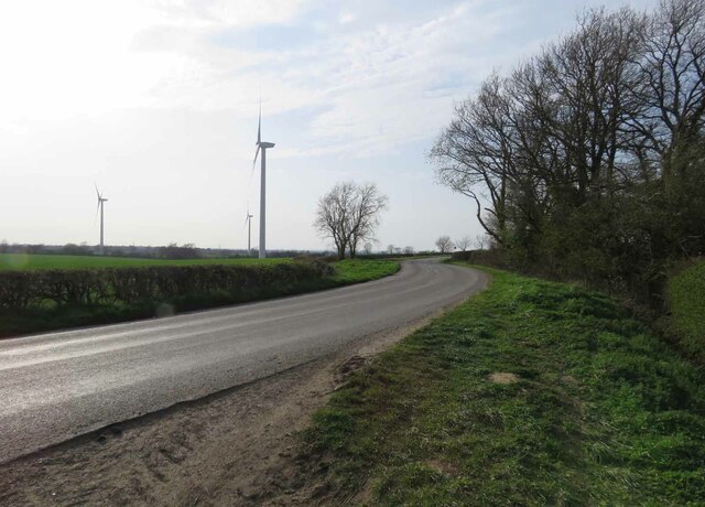
Ashby Magna Images

Images are sourced within 2km of 52.509082/-1.168808 or Grid Reference SP5690. Thanks to Geograph Open Source API. All images are credited.

Gilmorton Lane crosses the M1
Sunset over Ashby Lane in Willoughby Waterleys
Gilmorton Lane at Willoughby Waterleys
Lutterworth Road, Dunton Bassett
Low Spinney Wind Farm
Entrance to field east of Gilmorton Road
Field east of Gilmorton Road
Gilmorton Road towards Ashby Magna Note the marker post in the verge.
Gilmorton Road towards Ashby Magna
Note the marker post in the verge.
Gilmorton Road towards Gilmorton The buildings to the right are "Farm View"
Gilmorton Road towards Gilmorton
The buildings to the right are "Farm View"
Inspection chamber cover and marker posts 0003 There was no information on the marker posts. WO would indicate there is a Wash Out valve beneath which is used to clear sediment out of the pipes when necessary.
Inspection chamber cover and marker posts 0003
There was no information on the marker posts. WO would indicate there is a Wash Out valve beneath which is used to clear sediment out of the pipes when necessary.
Inspection chamber cover and marker posts 0001 There was no information on the marker posts. WO on the inspection chamber cover would indicate there is a Wash Out valve beneath which is used to clear sediment out of the pipes when necessary.
Inspection chamber cover and marker posts 0001
There was no information on the marker posts. WO on the inspection chamber cover would indicate there is a Wash Out valve beneath which is used to clear sediment out of the pipes when necessary.
Inspection chamber cover and marker posts 0002 There was no information on the marker posts. WO on the inspection chamber cover would indicate there is a Wash Out valve beneath which is used to clear sediment out of the pipes when necessary.
Inspection chamber cover and marker posts 0002
There was no information on the marker posts. WO on the inspection chamber cover would indicate there is a Wash Out valve beneath which is used to clear sediment out of the pipes when necessary.
Entrance to field east of Gilmorton Road from south There is a public footpath to Ashby Magna cutting across the fields.
Entrance to field east of Gilmorton Road from south
There is a public footpath to Ashby Magna cutting across the fields.
Entrance to field east of Gilmorton Road from west There is a public footpath to Ashby Magna cutting across the fields to the left. Gilmorton Lodge Farm is in the distance at the SE corner of the square.
See <a href="https://www.geograph.org.uk/photo/6799608">SP5689 : Roadside sign for footpath to Ashby Magna</a> for a close up of the sign.
Entrance to field east of Gilmorton Road from west
There is a public footpath to Ashby Magna cutting across the fields to the left. Gilmorton Lodge Farm is in the distance at the SE corner of the square. See SP5689 : Roadside sign for footpath to Ashby Magna for a close up of the sign.
Field east of Gilmorton Road In the distance is Gilmorton Lodge Farm which is on the SE corner of the square.
Field east of Gilmorton Road
In the distance is Gilmorton Lodge Farm which is on the SE corner of the square.
Footpath to Ashby Magna
Roadside sign for footpath to Ashby Magna There is a public footpath to Ashby Magna cutting across the fields.
See <a href="https://www.geograph.org.uk/photo/6799605">SP5689 : Entrance to field east of Gilmorton Road from west</a>.
Roadside sign for footpath to Ashby Magna
There is a public footpath to Ashby Magna cutting across the fields. See SP5689 : Entrance to field east of Gilmorton Road from west.
Gilmorton Road towards Ashby Magna
Show me another place!

Ashby Magna is located at Grid Ref: SP5690 (Lat: 52.509082, Lng: -1.168808)

Administrative County: Leicestershire

District: Harborough

Police Authority: Leicestershire

What 3 Words

///adjuster.hurray.picnic. Near Broughton Astley, Leicestershire

Nearby Locations

Gwens Gorse Ashby Magna

Related Wikis

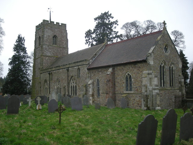
St Mary's Church, Ashby Magna

St Mary's Church is a church in Ashby Magna, Leicestershire. It is a Grade II* listed building. == History == The church was built by Robert Esseby in...

Ashby Magna

Ashby Magna is a small English village and civil parish in the Harborough district of Leicestershire. The parish has a population of 294, increasing at...

Ashby Magna railway station

Ashby Magna was a station on the Great Central Railway, the last main line to be constructed from the north of England to London, which opened in 1899...

Dunton Bassett

Dunton Bassett is a small village in the Harborough district of Leicestershire, England. It lies between Leicester and Lutterworth, and close to Broughton...

Willoughby Waterleys

Willoughby Waterleys (formerly known as Willoughby Waterless) is a small village and civil parish in the Harborough district of Leicestershire, England...

South Leicestershire (UK Parliament constituency)

South Leicestershire is a constituency represented in the House of Commons of the UK Parliament since 2015 by Alberto Costa, a member of the Conservative...

Blaby (UK Parliament constituency)

Blaby was a county constituency represented in the House of Commons of the Parliament of the United Kingdom, which existed from 1974 until 2010. It elected...

Guthlaxton

Guthlaxton is an ancient hundred of Leicestershire. Its jurisdiction was in the south of the county, and covered Lutterworth and Wigston Magna. At the...

Nearby Amenities

Located within 500m of 52.509082,-1.168808
Bus Stop
Village Hall
Bus: yes
Naptan AtcoCode: 260017200
Naptan Bearing: W
Naptan CommonName: Village Hall
Naptan Indicator: outside
Naptan Landmark: Village Hall
Naptan NaptanCode: leijmamw
Naptan Notes: Non-Hourly - County
Naptan Street: Peveril Road
Naptan Verified: no
Public Transport: platform
Source: naptan_import
Lat/Long: 52.5102726/-1.1726284
Bus Stop
Village Hall
Bus: yes
Naptan AtcoCode: 260017201
Naptan Bearing: E
Naptan BusStopType: CUS
Naptan CommonName: Village Hall
Naptan Indicator: opposite
Naptan Landmark: Village Hall
Naptan NaptanCode: leijmapa
Naptan Notes: Non-Hourly - County
Naptan Street: Peveril Road
Naptan Verified: no
Public Transport: platform
Source: naptan_import
Lat/Long: 52.5104256/-1.1726403
Ashby Magna
Place: village
Source: OS_OpenData_StreetView;NPE;OSM Note, etc
Lat/Long: 52.5106982/-1.1723405
Generator Method: photovoltaic
Generator Output Electricity: yes
Generator Source: solar
Generator Type: solar_photovoltaic_panel
Location: roof
Power: generator
Lat/Long: 52.5112993/-1.1733617
Generator Method: photovoltaic
Generator Output Electricity: yes
Generator Source: solar
Generator Type: solar_photovoltaic_panel
Location: roof
Power: generator
Lat/Long: 52.5107982/-1.1727368
Generator Method: photovoltaic
Generator Output Electricity: yes
Generator Source: solar
Generator Type: solar_photovoltaic_panel
Location: roof
Power: generator
Lat/Long: 52.5097567/-1.1701619
Public Bookcase
Ashby Magna Library
Booth: K6
Colour: red
Disused Amenity: telephone
Man Made: telephone_box
Public Bookcase Type: phone_box
Lat/Long: 52.51027/-1.1729218
Post Box
Post Box Type: lamp
Lat/Long: 52.5102761/-1.1728936
The data included in this document is from www.openstreetmap.org. The data is made available under ODbL.

Have you been to Ashby Magna?

Leave your review of Ashby Magna below (or comments, questions and feedback).