Gwens Gorse

Wood, Forest in Leicestershire Harborough

England

Gwens Gorse

Gilmorton Lane crosses the M1
Gilmorton Lane crosses the M1 Credit: Steve Daniels

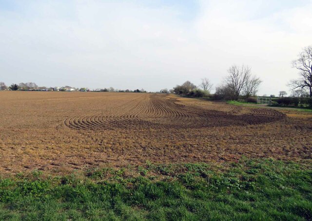
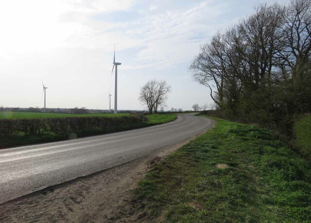
Gwens Gorse, located in Leicestershire, is a picturesque wood and forest area that offers visitors a tranquil and scenic escape from the hustle and bustle of city life. Covering an expansive area, it is a popular destination for nature lovers, hikers, and anyone seeking outdoor recreation.

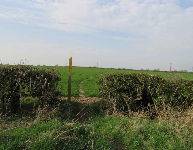
The wood boasts a diverse range of tree species, including oak, birch, and beech, which create a dense canopy and provide a haven for a variety of wildlife. The forest floor is adorned with a carpet of wildflowers during the spring and summer months, adding bursts of color to the landscape.

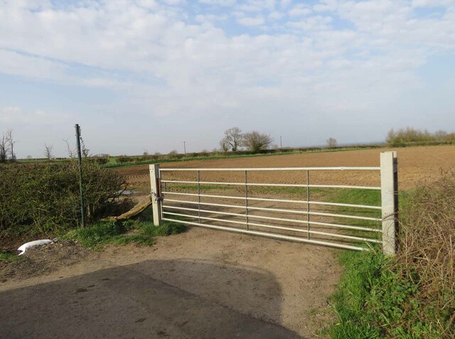
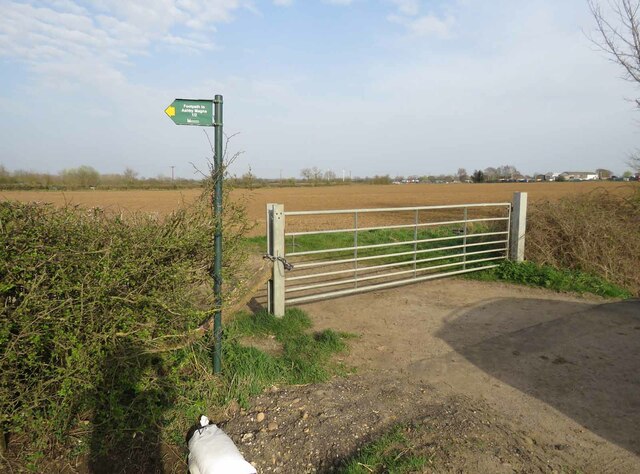
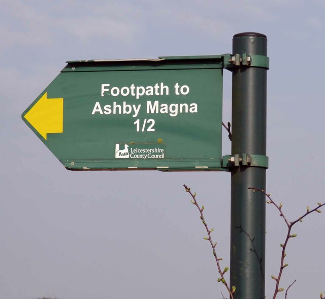
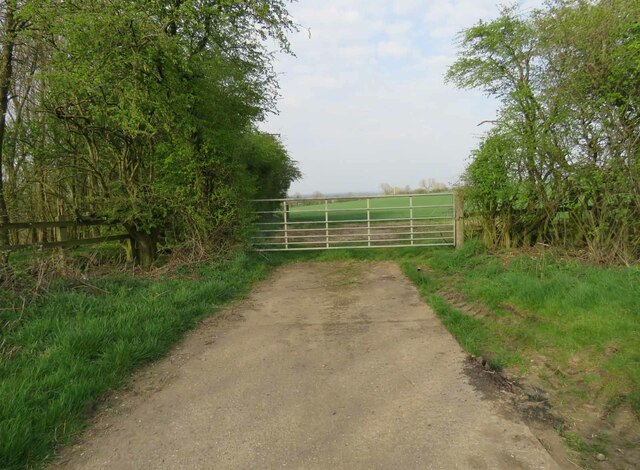
Numerous walking trails wind through Gwens Gorse, allowing visitors to explore the wood at their own pace. These paths cater to all abilities, from leisurely strolls to more challenging hikes. Along the way, visitors may encounter wildlife such as deer, foxes, and a variety of bird species.

For those interested in history, Gwens Gorse holds significant cultural and archaeological value. The area has evidence of Iron Age settlements, with remnants of earthworks and burial mounds still visible today. This adds an extra layer of intrigue to the natural beauty of the wood.

Facilities at Gwens Gorse include ample parking, picnic areas, and well-maintained footpaths. The wood is open year-round, offering visitors an opportunity to witness the changing seasons and the unique beauty each one brings.

Overall, Gwens Gorse in Leicestershire is a haven for nature enthusiasts, history buffs, and those seeking solace in the great outdoors. Its diverse flora and fauna, coupled with its rich archaeological heritage, make it a must-visit destination for anyone looking to connect with nature and immerse themselves in the beauty of the wood.

If you have any feedback on the listing, please let us know in the comments section below.
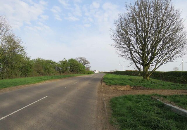
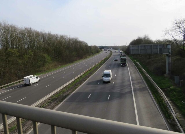
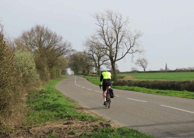
Gwens Gorse Images

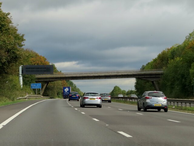
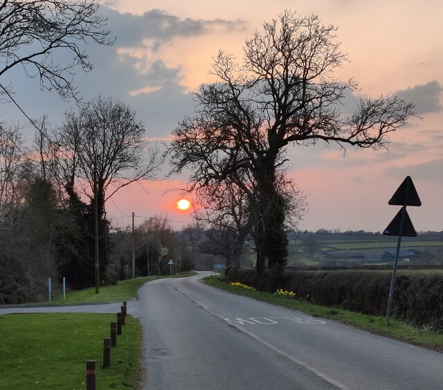
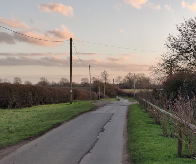
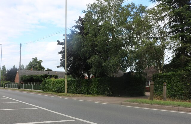
Images are sourced within 2km of 52.51265/-1.1617624 or Grid Reference SP5690. Thanks to Geograph Open Source API. All images are credited.

Gilmorton Lane crosses the M1
Sunset over Ashby Lane in Willoughby Waterleys
General Elliott pub in Willoughby Waterleys The pub is on the Main Street, it has been closed since March 2020.
George Augustus Eliott, 1st Baron Heathfield, (25 December 1717 – 6 July 1790) was a British Army officer who served in three major wars during the eighteenth century. Eliott is most notable for his command of the Gibraltar garrison during the Great Siege of Gibraltar, which lasted between 1779 and 1783 during the American War of Independence. He was celebrated for his successful defence of the fortress.
General Elliott pub in Willoughby Waterleys
The pub is on the Main Street, it has been closed since March 2020. George Augustus Eliott, 1st Baron Heathfield, (25 December 1717 – 6 July 1790) was a British Army officer who served in three major wars during the eighteenth century. Eliott is most notable for his command of the Gibraltar garrison during the Great Siege of Gibraltar, which lasted between 1779 and 1783 during the American War of Independence. He was celebrated for his successful defence of the fortress.
Village hall along the Main Street of Willoughby Waterleys The village hall is in the former school, Grade II listed, and dating from 1846.
Village hall along the Main Street of Willoughby Waterleys
The village hall is in the former school, Grade II listed, and dating from 1846.
Gilmorton Lane at Willoughby Waterleys
Lutterworth Road, Dunton Bassett
Entrance to field east of Gilmorton Road from south There is a public footpath to Ashby Magna cutting across the fields.
Entrance to field east of Gilmorton Road from south
There is a public footpath to Ashby Magna cutting across the fields.
Entrance to field east of Gilmorton Road from west There is a public footpath to Ashby Magna cutting across the fields to the left. Gilmorton Lodge Farm is in the distance at the SE corner of the square.
See <a href="https://www.geograph.org.uk/photo/6799608">SP5689 : Roadside sign for footpath to Ashby Magna</a> for a close up of the sign.
Entrance to field east of Gilmorton Road from west
There is a public footpath to Ashby Magna cutting across the fields to the left. Gilmorton Lodge Farm is in the distance at the SE corner of the square. See SP5689 : Roadside sign for footpath to Ashby Magna for a close up of the sign.
Field east of Gilmorton Road In the distance is Gilmorton Lodge Farm which is on the SE corner of the square.
Field east of Gilmorton Road
In the distance is Gilmorton Lodge Farm which is on the SE corner of the square.
Footpath to Ashby Magna
Roadside sign for footpath to Ashby Magna There is a public footpath to Ashby Magna cutting across the fields.
See <a href="https://www.geograph.org.uk/photo/6799605">SP5689 : Entrance to field east of Gilmorton Road from west</a>.
Roadside sign for footpath to Ashby Magna
There is a public footpath to Ashby Magna cutting across the fields. See SP5689 : Entrance to field east of Gilmorton Road from west.
Gilmorton Road towards Ashby Magna
Entrance to field north of Gilmorton Lane alongside the M1 The M1 is behind the hedge to the left.
Entrance to field north of Gilmorton Lane alongside the M1
The M1 is behind the hedge to the left.
Gilmorton Lane crosses the M1
Gilmorton Lane eastwards
M1 southwards from Gilmorton Lane
Gilmorton Road towards Gilmorton This was the hottest March day for about 50 years and there were a lot of cyclists out and about.
Gilmorton Road towards Gilmorton
This was the hottest March day for about 50 years and there were a lot of cyclists out and about.
Track to Allotment Gardens Some versions of the OS maps have "Allot Gdns" for the patch of land beyond the hedge off to the right.
Track to Allotment Gardens
Some versions of the OS maps have "Allot Gdns" for the patch of land beyond the hedge off to the right.
Show me another place!

Gwens Gorse is located at Grid Ref: SP5690 (Lat: 52.51265, Lng: -1.1617624)

Administrative County: Leicestershire

District: Harborough

Police Authority: Leicestershire

What 3 Words

///tastings.scouts.shrub. Near Broughton Astley, Leicestershire

Nearby Locations

Gwens Gorse Ashby Magna

Related Wikis

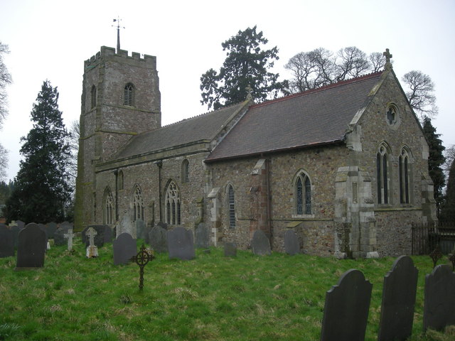
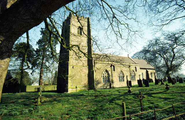
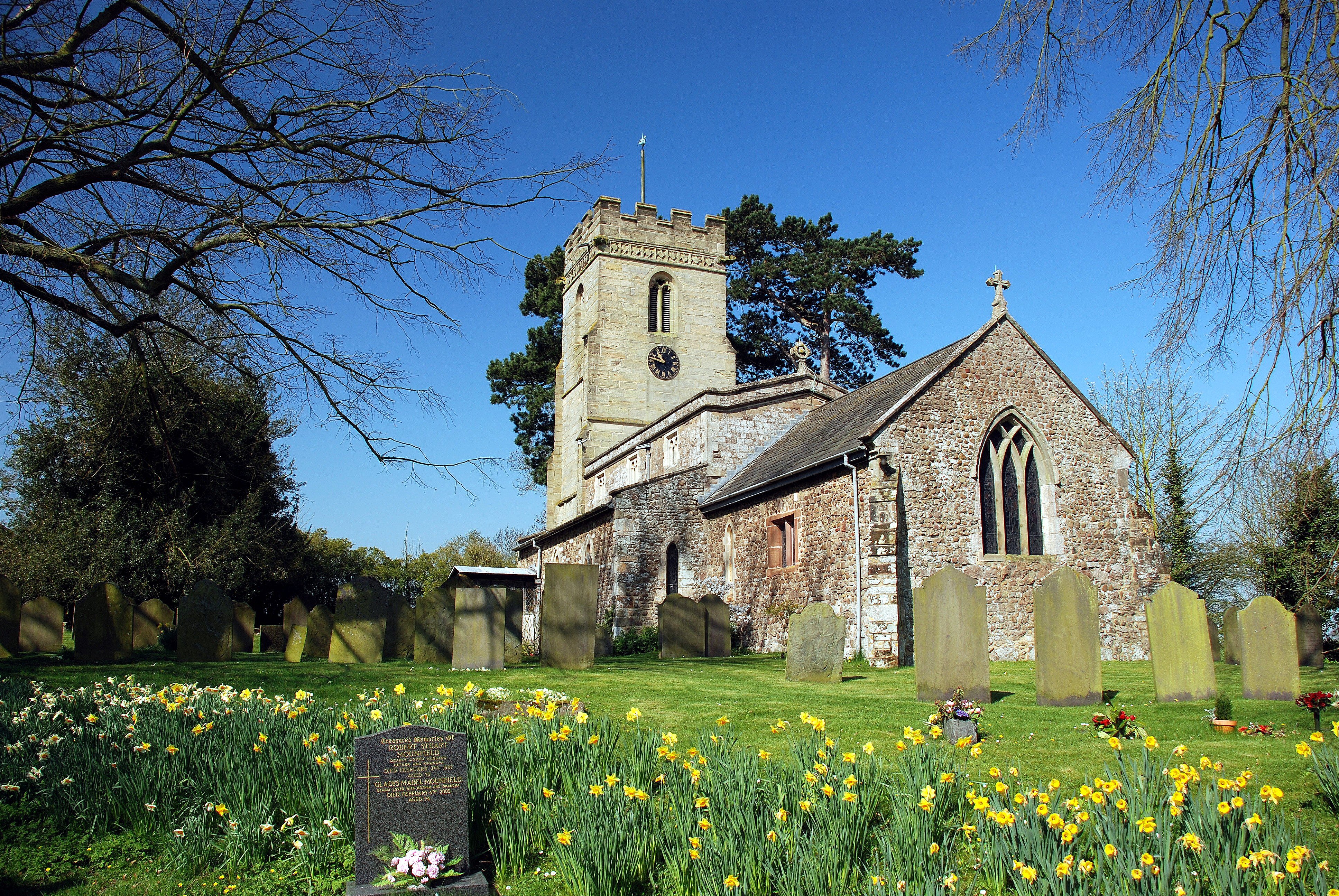
St Mary's Church, Ashby Magna

St Mary's Church is a church in Ashby Magna, Leicestershire. It is a Grade II* listed building. == History == The church was built by Robert Esseby in...
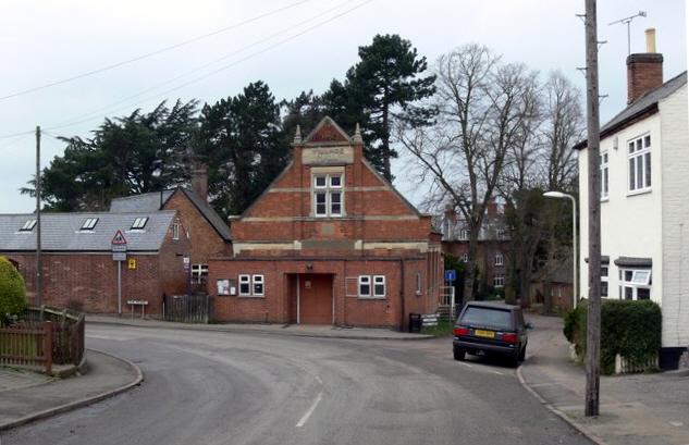
Ashby Magna

Ashby Magna is a small English village and civil parish in the Harborough district of Leicestershire. The parish has a population of 294, increasing at...

Ashby Magna railway station

Ashby Magna was a station on the Great Central Railway, the last main line to be constructed from the north of England to London, which opened in 1899...

Willoughby Waterleys

Willoughby Waterleys (formerly known as Willoughby Waterless) is a small village and civil parish in the Harborough district of Leicestershire, England...

Dunton Bassett

Dunton Bassett is a small village in the Harborough district of Leicestershire, England. It lies between Leicester and Lutterworth, and close to Broughton...

Peatling Parva

Peatling Parva is a village and civil parish in the Harborough district, south Leicestershire, England. It lies 2.6 km west-north-west of Ashby Magna and...

South Leicestershire (UK Parliament constituency)

South Leicestershire is a constituency represented in the House of Commons of the UK Parliament since 2015 by Alberto Costa, a member of the Conservative...

Blaby (UK Parliament constituency)

Blaby was a county constituency represented in the House of Commons of the Parliament of the United Kingdom, which existed from 1974 until 2010. It elected...

Have you been to Gwens Gorse?

Leave your review of Gwens Gorse below (or comments, questions and feedback).