Ashbury
Civil Parish in Berkshire Vale of White Horse
England
Ashbury
Ashbury is a civil parish located in the county of Berkshire, England. It is situated on the western edge of the county, close to the border with Wiltshire. The parish covers an area of approximately 6 square kilometers and has a population of around 300 people.
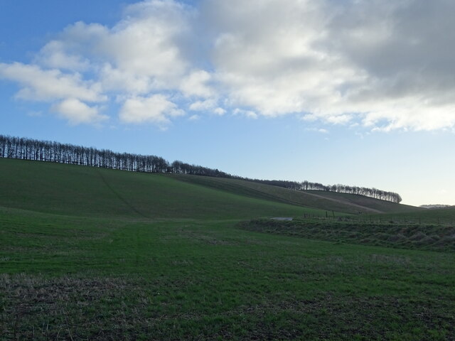
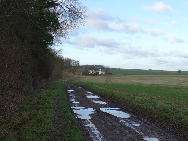
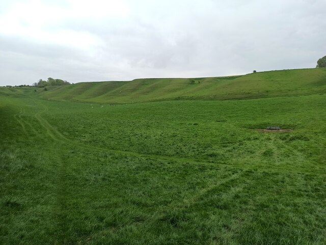
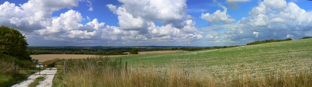
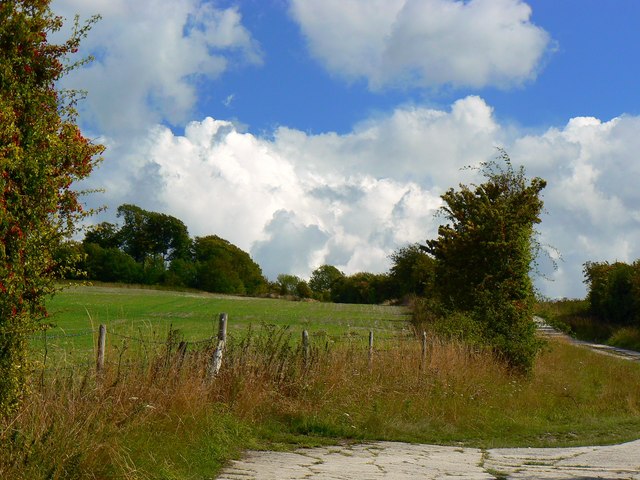
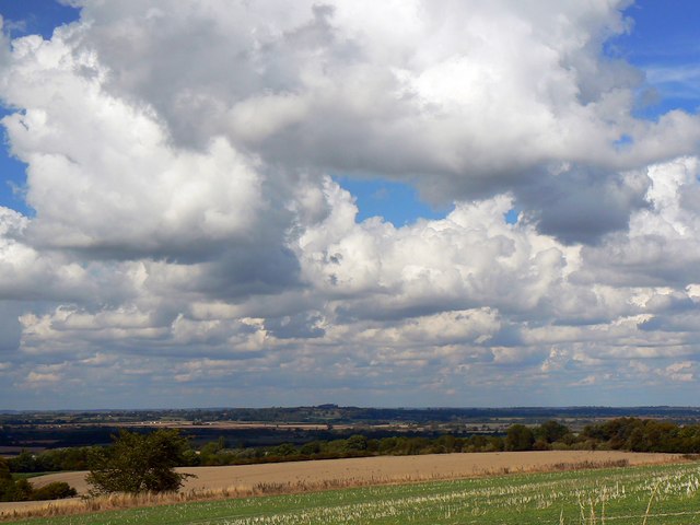
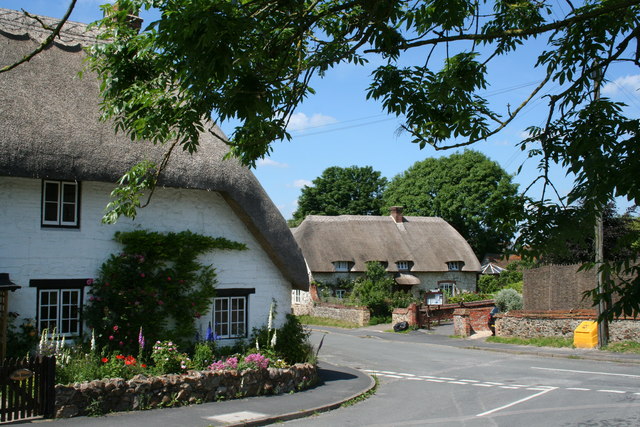
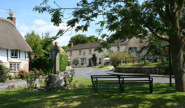
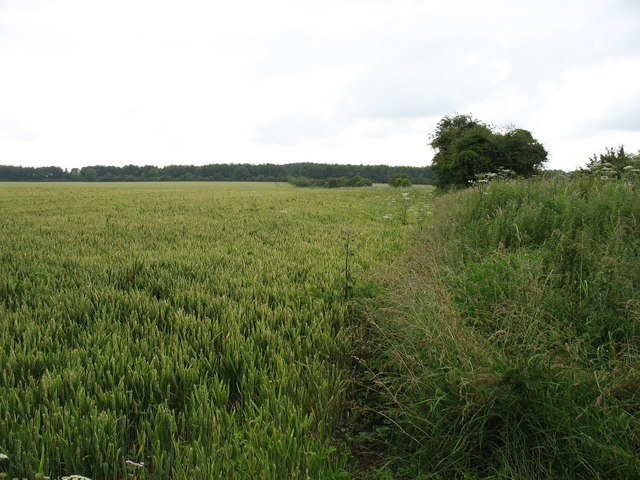
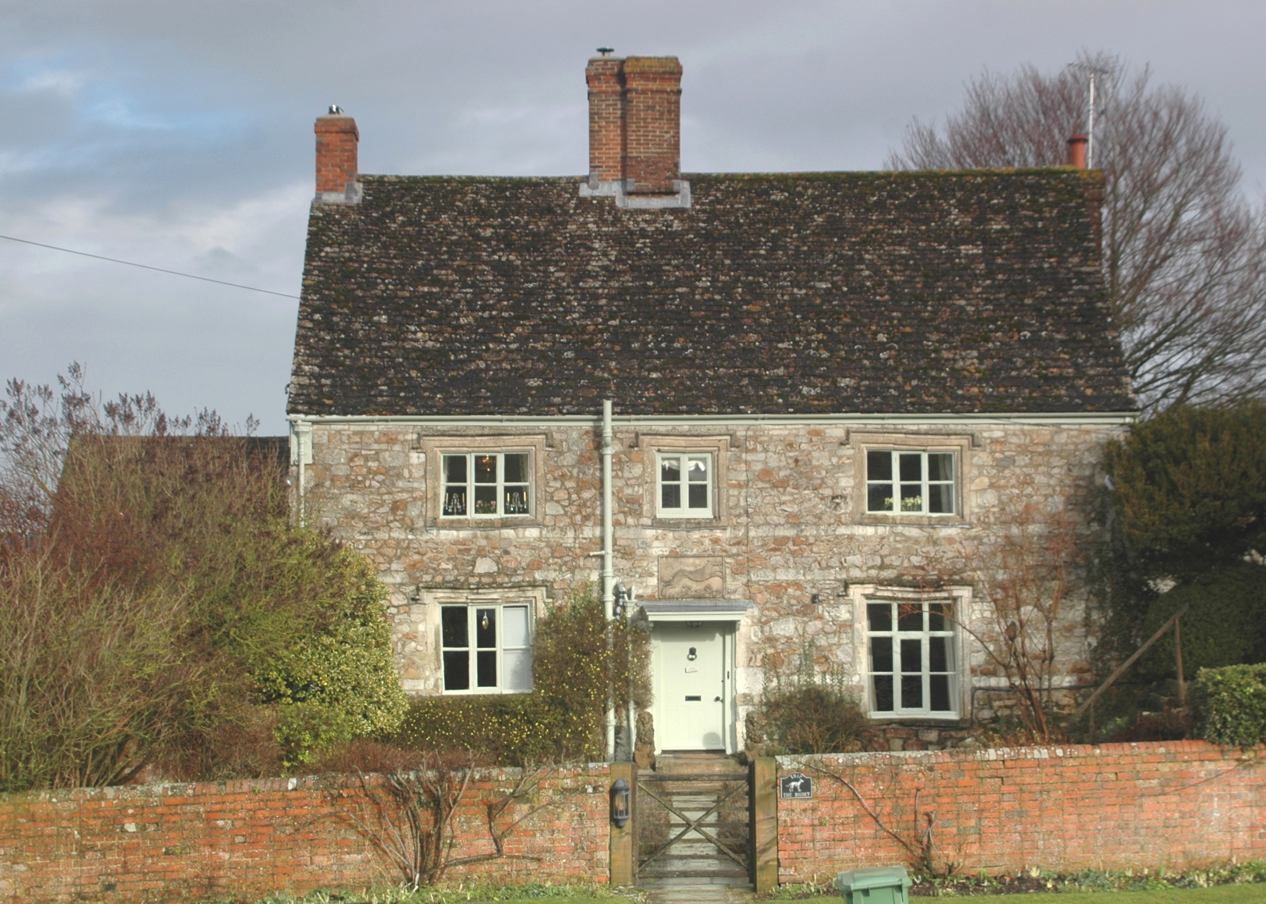
The village of Ashbury is known for its picturesque rural setting, with rolling hills, open fields, and charming countryside views. It is surrounded by the sprawling landscapes of the North Wessex Downs Area of Outstanding Natural Beauty, offering residents and visitors ample opportunities for outdoor activities such as hiking, cycling, and horse riding.
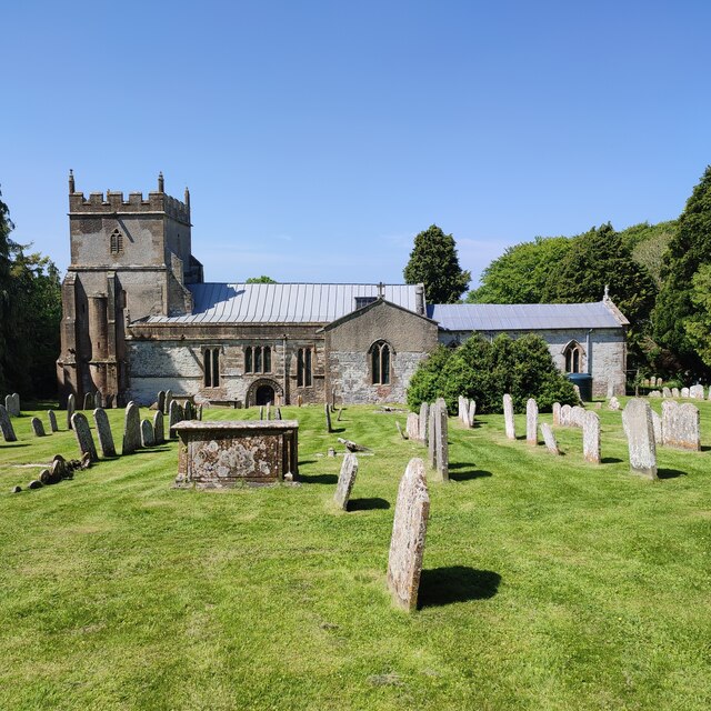
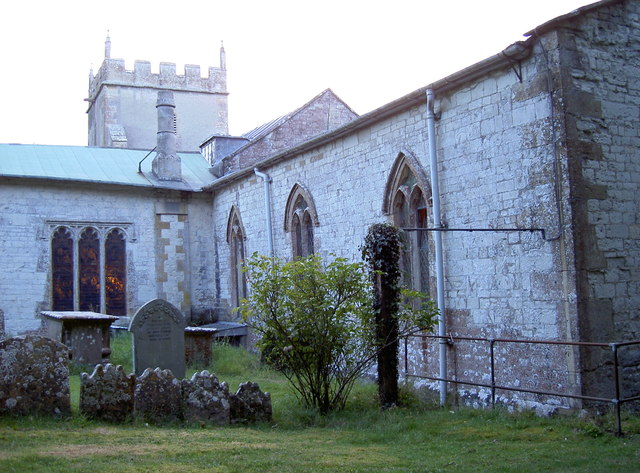
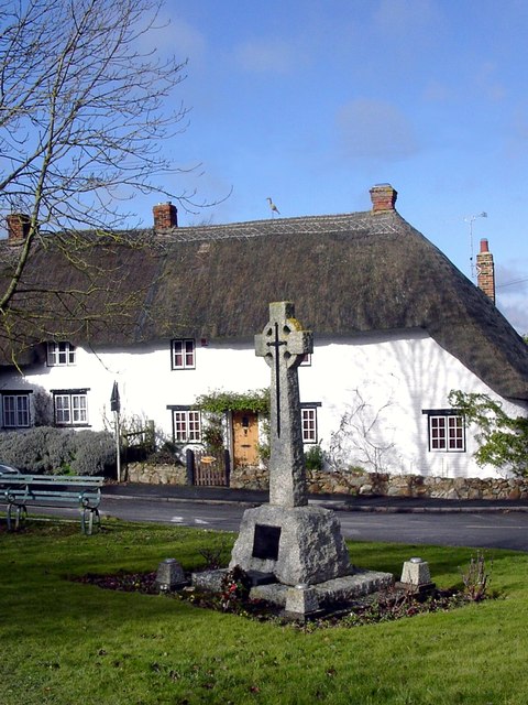
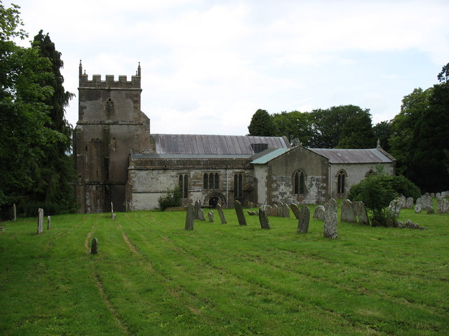
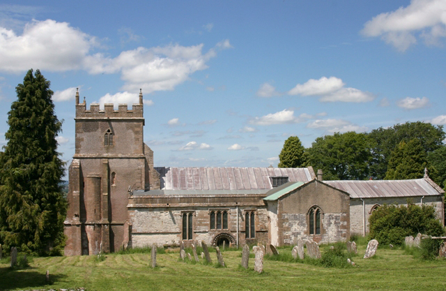
The history of Ashbury dates back centuries, with evidence of human habitation in the area since prehistoric times. The village itself features several historic buildings, including a beautiful 13th-century church dedicated to the Holy Family. The church's architecture is a mix of Norman and Gothic styles, adding to the village's quaint and traditional charm.
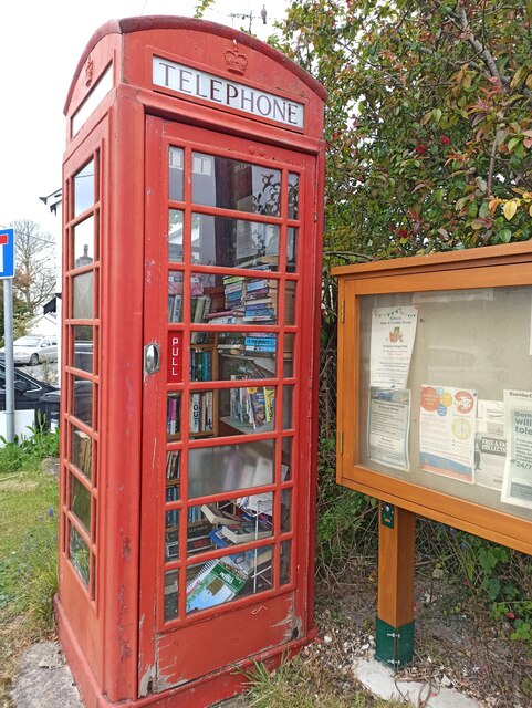
While Ashbury is primarily a residential area, it does have a small number of amenities to serve its residents. These include a village hall, a primary school, and a local pub that serves as a gathering place for the community.
Overall, Ashbury offers a peaceful and idyllic countryside lifestyle, with its natural beauty, historic character, and close-knit community. It is a perfect destination for those seeking a rural retreat away from the hustle and bustle of city life.
If you have any feedback on the listing, please let us know in the comments section below.
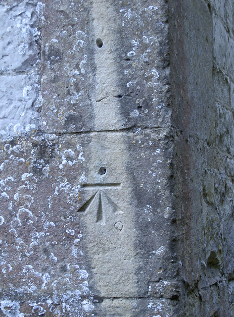
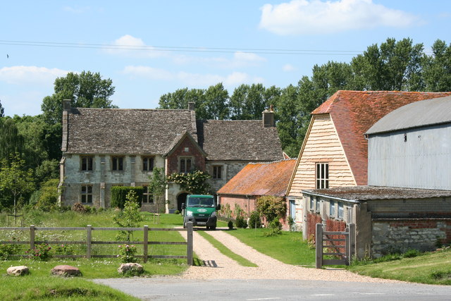
Ashbury Images
Images are sourced within 2km of 51.559423/-1.613069 or Grid Reference SU2684. Thanks to Geograph Open Source API. All images are credited.


Ashbury is located at Grid Ref: SU2684 (Lat: 51.559423, Lng: -1.613069)
Administrative County: Oxfordshire
District: Vale of White Horse
Police Authority: Thames Valley
What 3 Words
///delivers.tutored.dizziness. Near Bishopstone, Wiltshire
Nearby Locations
Related Wikis
Ashbury, Oxfordshire
Ashbury is a village and large civil parish at the upper end (west) of the Vale of White Horse. It was part of Berkshire until the 1974 boundary changes...
Idstone
Idstone is a hamlet in the civil parish of Ashbury in the Vale of White Horse. Idstone was part of Berkshire until the 1974 boundary changes transferred...
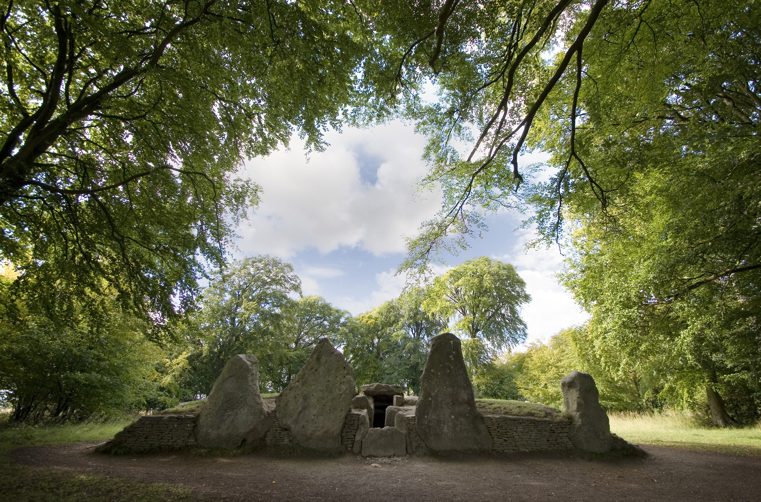
Wayland's Smithy
Wayland's Smithy is an Early Neolithic chambered long barrow located near the village of Ashbury in the south-central English county of Oxfordshire. The...

Alfred's Castle
Alfred's Castle is a small Iron Age hill fort, situated at grid reference SU277822, behind Ashdown Park in the civil parish of Ashbury in Oxfordshire...

Bishopstone, Swindon
Bishopstone is a village and civil parish in the Borough of Swindon, England, about 6 miles (10 km) east of Swindon, and on the county border with Oxfordshire...

Hardwell Castle
Hardwell Castle or Hardwell Camp is an Iron Age valley fort in the civil parish of Compton Beauchamp in Oxfordshire (previously Berkshire). == Site... ==

Ashdown House, Oxfordshire
Ashdown House (also known as Ashdown Park) is a 17th-century country house in the civil parish of Ashbury in the English county of Oxfordshire. Until 1974...

Ashdown Park
Ashdown Park is a 9.3-hectare (23-acre) biological Site of Special Scientific Interest (SSSI) south of Ashbury in Oxfordshire. The SSSI is part of the...
Nearby Amenities
Located within 500m of 51.559423,-1.613069Have you been to Ashbury?
Leave your review of Ashbury below (or comments, questions and feedback).