Ashburton
Civil Parish in Devon Teignbridge
England
Ashburton
Ashburton is a historic market town and civil parish located in the county of Devon, England. Situated on the eastern edge of Dartmoor National Park, it lies about 20 miles south of Exeter and 8 miles north of Newton Abbot.
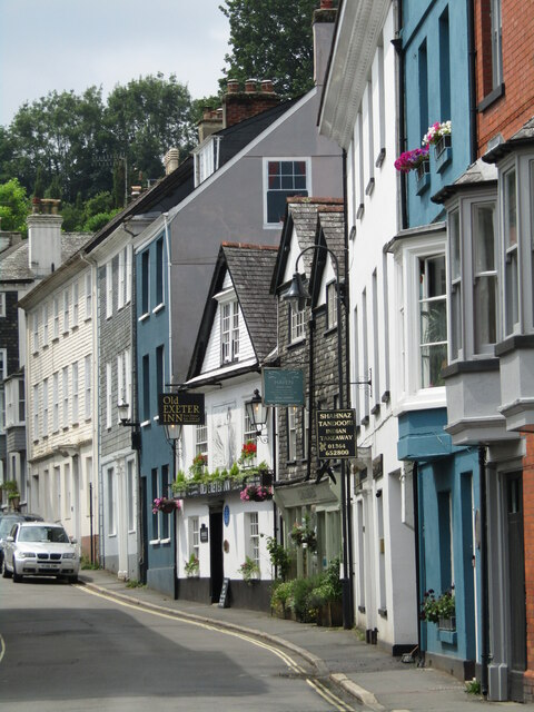
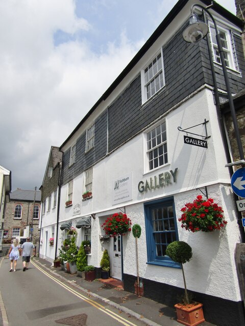
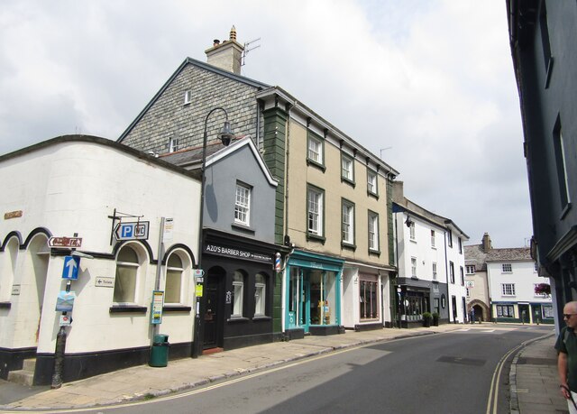
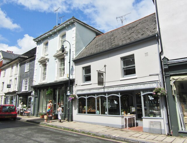
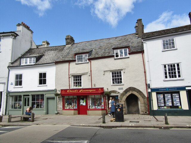
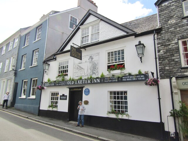
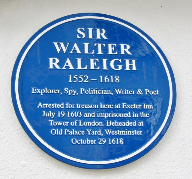
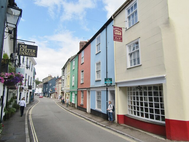
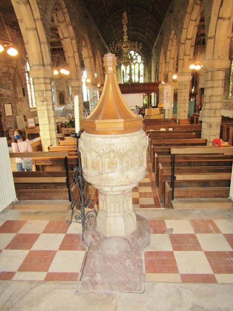
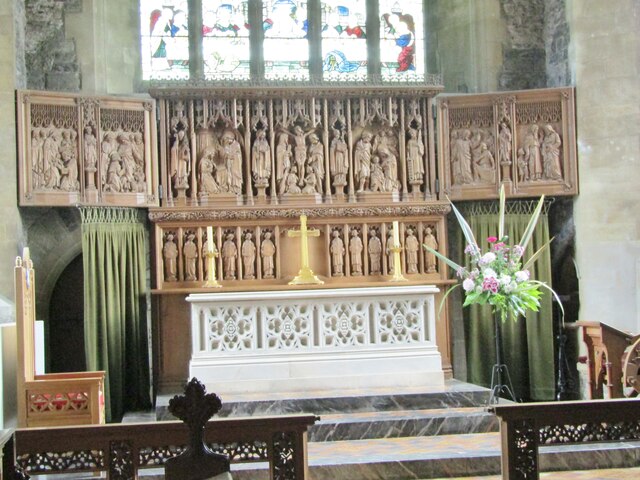
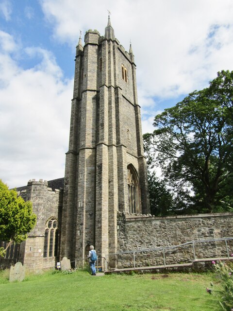
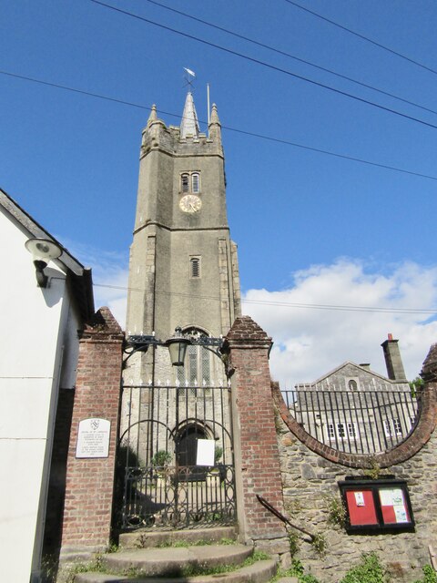
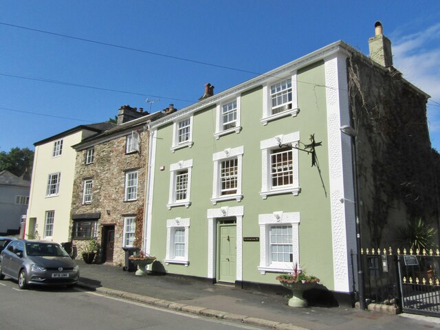
With a population of around 4,200 people, Ashburton has a rich history dating back to the Saxon period. The town was an important wool trading center in the Middle Ages and became prosperous through the cloth industry. Many beautiful buildings from this era can still be seen today, including the St. Andrew's Church, which dates back to the 15th century.
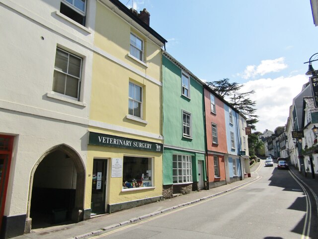
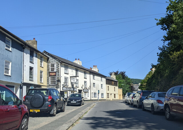
The town's economy is now diverse, with a mix of retail, tourism, and small businesses. Ashburton is known for its independent shops, art galleries, and antique stores, attracting visitors from near and far. The annual Ashburton Food & Drink Festival is a popular event that celebrates the town's culinary offerings.
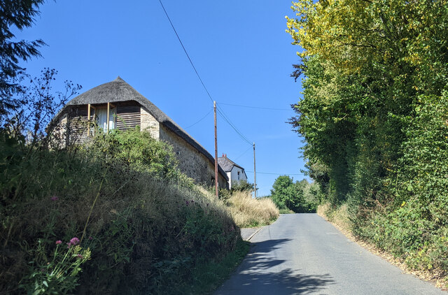
Surrounded by stunning countryside, Ashburton offers numerous opportunities for outdoor activities. Dartmoor National Park is a short distance away, providing ample opportunities for hiking, cycling, and wildlife spotting. The River Dart also runs through the town, offering picturesque walks and fishing spots.
Ashburton has a strong community spirit, with various social clubs, sports teams, and community events. The town is well-served by amenities, including schools, a library, healthcare facilities, and public transportation links.
Overall, Ashburton is a charming market town with a rich history, beautiful architecture, and a thriving community, making it an attractive place to live or visit in Devon.
If you have any feedback on the listing, please let us know in the comments section below.
Ashburton Images
Images are sourced within 2km of 50.531263/-3.761733 or Grid Reference SX7571. Thanks to Geograph Open Source API. All images are credited.

Ashburton is located at Grid Ref: SX7571 (Lat: 50.531263, Lng: -3.761733)
Administrative County: Devon
District: Teignbridge
Police Authority: Devon & Cornwall
What 3 Words
///scam.solicitor.give. Near Ashburton, Devon
Nearby Locations
Related Wikis

River Ashburn
Ashburn is a river in the Dartmoor moors in Devon in south-west England, flowing through the Ashburton valley to the River Dart. The River Ashburn is a...
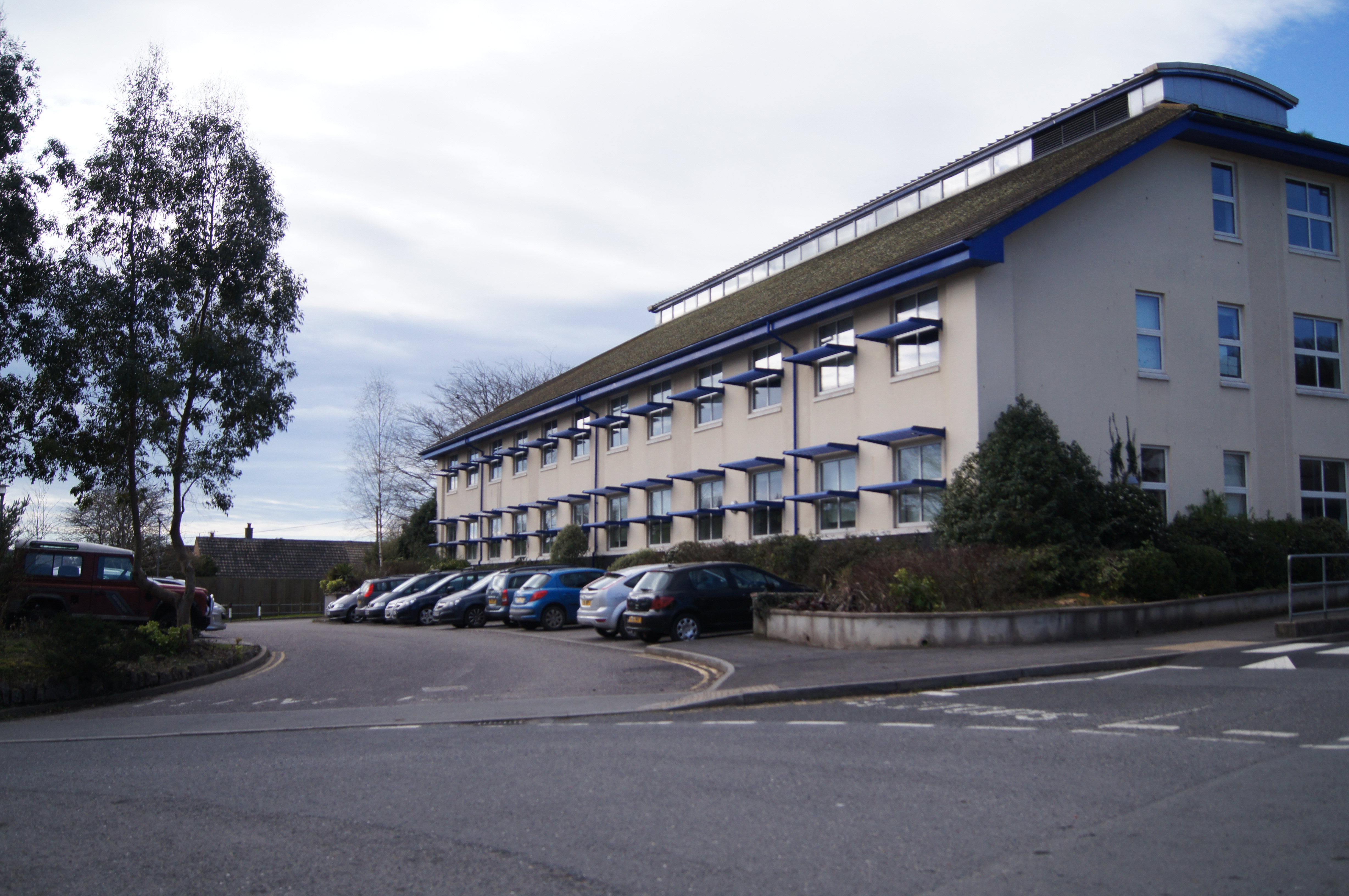
South Dartmoor Community College
South Dartmoor Community College (SDCC) is a co-educational academy school located in Ashburton, Devon, England. The number of students on roll is 1,650...

Ashburton Town Hall
Ashburton Town Hall is a municipal building in the North Street, Ashburton, Devon, England. The town hall, which is the meeting place of Ashburton Town...

Sands School
Sands School is a democratic school in Ashburton, Devon in England. == Background == Sands School is the second democratic school in England which was...
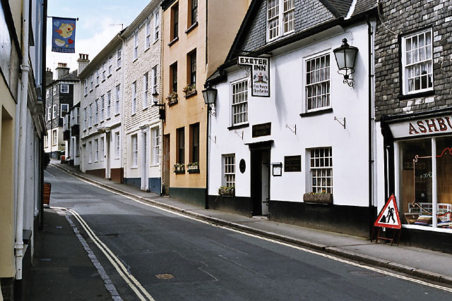
Ashburton, Devon
Ashburton is a town on the south-southeastern edge of Dartmoor in Devon, England, adjacent to the A38. The town is 20 miles (32 km) northeast of Plymouth...

Ashburton railway station
Ashburton railway station is a closed railway station situated in the town of Ashburton in Devon, England. It was the terminus of a branch line from Totnes...
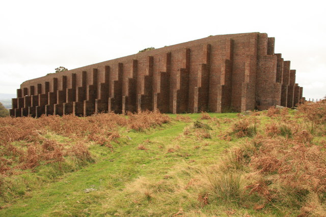
Rippon Tor Rifle Range
Rippon Tor Rifle Range is a disused rifle range from World War II on Dartmoor, Devon, England. The range is situated southeast of the 473 m high Rippon...
Buckland Beacon
Buckland Beacon is a granite tor and conical beacon, near to the village of Buckland-in-the-Moor on Dartmoor, England. It is well known for its Ten Commandments...
Nearby Amenities
Located within 500m of 50.531263,-3.761733Have you been to Ashburton?
Leave your review of Ashburton below (or comments, questions and feedback).